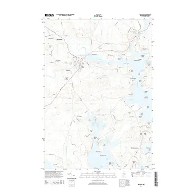
2000s (21st Century) Maps of Machiasport, Maine
Explore 20 historic maps of Machiasport from the 2000s (21st Century). These maps offer a rare glimpse into what life looked like during the 2000s — showing old roads, neighborhoods, homes, and landmarks that have changed or disappeared over time.
Whether you're researching your family's past, planning a metal detecting trip, or studying how Machiasport's landscape evolved across the 2000s, these high-resolution maps are a powerful tool for exploring the history of this region.
- Focus on a specific era: All maps on this page are from the 2000s, giving you a focused view of this time period.
- See what’s changed: Compare century-old streets, trails, and buildings to today's modern landscape using overlays and satellite layers.
- Research with precision: Use these maps for genealogy, historical research, land use analysis, or educational projects.
- View, download, or print: Maps are fully viewable online in high resolution, and can be downloaded or printed for your own records.
Start exploring Machiasport's history through authentic maps from the 2000s. This is your window into the past.
Machiasport, ME maps
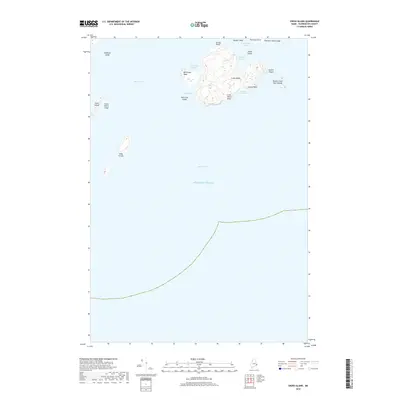
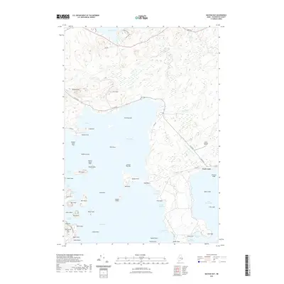
(20)- 2011 Map of Machias Bay, 2011 Print
 2011 Machias Bay2011 Print · USGSCovers Machiasport, including East Machias, Cutler, and other nearby areas
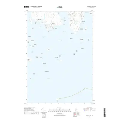
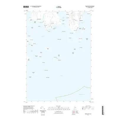
 - 2011 Map of Roque Bluffs, 2011 Print
 2011 Roque Bluffs2011 Print · USGSCovers Machiasport, including Jonesport, Roque Bluffs, and other nearby areas
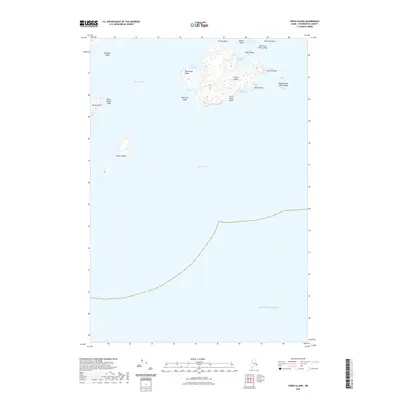
 - 2011 Map of Cross Island, 2011 Print
 2011 Cross Island2011 Print · USGSCovers Machiasport, including Cutler, Washington County, and other nearby areas
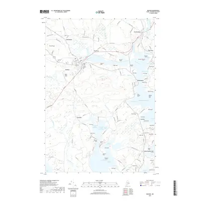
 - 2011 Map of Machias, 2011 Print
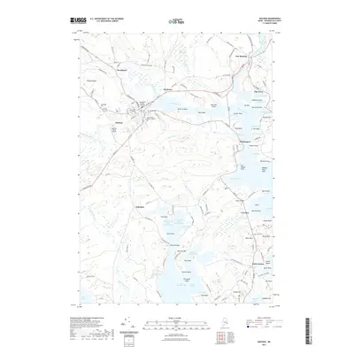
 2011 Machias2011 Print · USGSCovers Machiasport, including Machias, East Machias, and other nearby areas
 - 2014 Map of Cross Island, 2014 Print
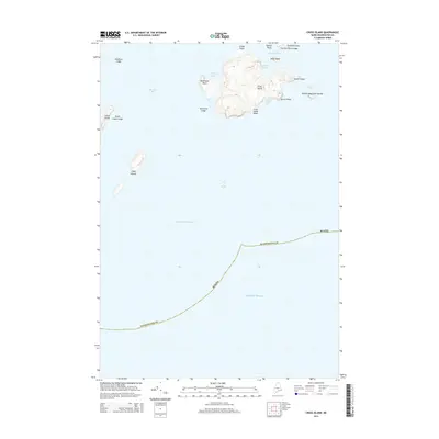 2014 Cross Island2014 Print · USGSCovers Machiasport, including Cutler, Washington County, and other nearby areas
 - 2014 Map of Machias, 2014 Print
 2014 Machias2014 Print · USGSCovers Machiasport, including Machias, East Machias, and other nearby areas
 - 2014 Map of Roque Bluffs, 2014 Print
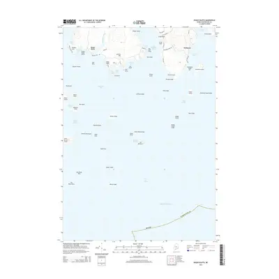 2014 Roque Bluffs2014 Print · USGSCovers Machiasport, including Jonesport, Roque Bluffs, and other nearby areas
 - 2014 Map of Machias Bay, 2014 Print
 2014 Machias Bay2014 Print · USGSCovers Machiasport, including East Machias, Cutler, and other nearby areas
 - 2018 Map of Cross Island, 2018 Print
 2018 Cross Island2018 Print · USGSCovers Machiasport, including Cutler, Washington County, and other nearby areas
 - 2018 Map of Roque Bluffs, 2018 Print
 2018 Roque Bluffs2018 Print · USGSCovers Machiasport, including Jonesport, Roque Bluffs, and other nearby areas
 - 2018 Map of Machias Bay, 2018 Print
 2018 Machias Bay2018 Print · USGSCovers Machiasport, including East Machias, Cutler, and other nearby areas
 - 2018 Map of Machias, 2018 Print
 2018 Machias2018 Print · USGSCovers Machiasport, including Machias, East Machias, and other nearby areas
 - 2021 Map of Roque Bluffs, 2021 Print
 2021 Roque Bluffs2021 Print · USGSCovers Machiasport, including Jonesport, Roque Bluffs, and other nearby areas
 - 2021 Map of Machias Bay, 2021 Print
 2021 Machias Bay2021 Print · USGSCovers Machiasport, including East Machias, Cutler, and other nearby areas
 - 2021 Map of Cross Island, 2021 Print
 2021 Cross Island2021 Print · USGSCovers Machiasport, including Cutler, Washington County, and other nearby areas
 - 2021 Map of Machias, 2021 Print
 2021 Machias2021 Print · USGSCovers Machiasport, including Machias, East Machias, and other nearby areas
 - 2024 Map of Cross Island, 2024 Print
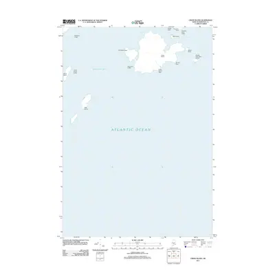
 2024 Cross Island2024 Print · USGSThe Washington County coast is captured here in the early twenty-first century, showing the protected archipelago of Machias Bay. Researchers can trace the modern boundaries of the Cross Island National Wildlife Refuge and examine named coastal features like the Libby Islands and Double Head Shot Islands.
 - 2024 Map of Roque Bluffs, 2024 Print
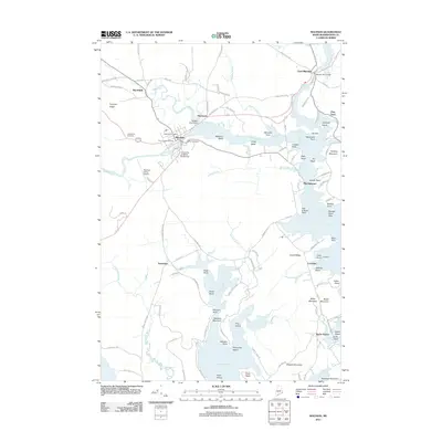
 2024 Roque Bluffs2024 Print · USGSThe Washington County coast is shown here in the contemporary era, detailing the intricate island chains and maritime settlements south of Machias. Researchers can trace landownership and access via Schoppee Point Rd or locate wildlife habitats on Roque Island and Halifax Island.
 - 2024 Map of Machias Bay, 2024 Print
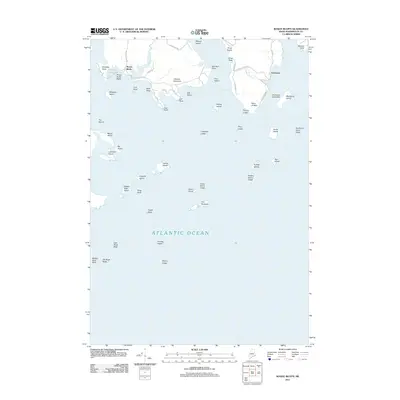
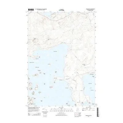
 2024 Machias Bay2024 Print · USGSThe rugged coastline of Washington County appears in high detail, showcasing the intersection of maritime tradition and protected wilderness. Trace family sites like Mary Look Cem or explore the geography of Bucks Harbor and North Cutler.
 - 2024 Map of Machias, 2024 Print
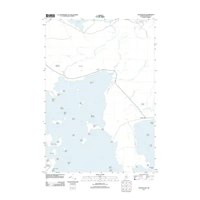
 2024 Machias2024 Print · USGSThe Downeast coast comes alive in this study of the Machias Bay area, where river estuaries meet the Atlantic. Researchers can locate family names at the Joseph Getchell Memorial Cem, visit the Washington County Courthouse, or explore the shoreline of Bucks Harbor.
End of results
Showing maps 1-20 of 20
Top cities near Machiasport
- Machias historical maps
- East Machias historical maps
- Jonesport historical maps
- Jonesboro historical maps
- Marshfield historical maps
- Cutler historical maps
See more
Top neighborhoods of Machiasport
Frequently asked questions
- What are the different types of historical maps available for Machiasport?
- What is the oldest map of Machiasport?
- Where can I purchase historical maps of Machiasport for my home or office?
- Where can I download high-res historical maps of Machiasport?
- Are there historical topographic maps available for Machiasport?
- Is there historical aerial imagery available for Machiasport?
- Where are historical maps of Machiasport sourced from?