2020s Maps of T19 MD BPP, Maine
Explore 8 historic maps of T19 MD BPP from the 2020s. These maps offer a rare glimpse into what life looked like during the 2020s — showing old roads, neighborhoods, homes, and landmarks that have changed or disappeared over time.
Whether you're researching your family's past, planning a metal detecting trip, or studying how T19 MD BPP's landscape evolved across the 2020s, these high-resolution maps are a powerful tool for exploring the history of this region.
- Focus on a specific era: All maps on this page are from the 2020s, giving you a focused view of this time period.
- See what’s changed: Compare century-old streets, trails, and buildings to today's modern landscape using overlays and satellite layers.
- Research with precision: Use these maps for genealogy, historical research, land use analysis, or educational projects.
- View, download, or print: Maps are fully viewable online in high resolution, and can be downloaded or printed for your own records.
Start exploring T19 MD BPP's history through authentic maps from the 2020s. This is your window into the past.
T19 MD BPP, ME maps
(8)- 2021 Map of Montegail Pond, 2021 Print
 2021 Montegail Pond2021 Print · USGSCovers T19 MD BPP, including T24 MD BPP, T25 MD BPP, and other nearby areas
 - 2021 Map of Columbia Falls, 2021 Print
 2021 Columbia Falls2021 Print · USGSCovers T19 MD BPP, including Addison, Jonesboro, and other nearby areas
 - 2021 Map of Peaked Mountain Pond, 2021 Print
 2021 Peaked Mountain Pond2021 Print · USGSCovers T19 MD BPP, including Northfield, Wesley, and other nearby areas
 - 2021 Map of Epping, 2021 Print
 2021 Epping2021 Print · USGSCovers T19 MD BPP, including Addison, Cherryfield, and other nearby areas
 - 2024 Map of Epping, 2024 Print
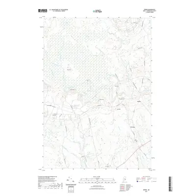
 2024 Epping2024 Print · USGSCoastal Washington County is documented here in the early twenty-first century, showing the relationship between small villages and the vast Downeast wetlands. Researchers can locate family burial sites at John F Dorr Family Cemetery and trace terrain markers like Pineo Ridge or the Great Heath.
 - 2024 Map of Columbia Falls, 2024 Print
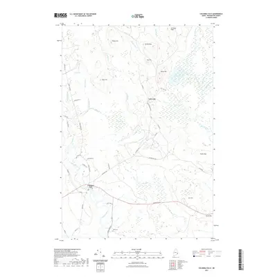
 2024 Columbia Falls2024 Print · USGSThe coastal town of Columbia Falls and the inland woods of Centerville appear here in the early twenty-first century. Researchers can locate family burial plots at Merritt Cem and Greenwood Cem or trace the winding course of the Pleasant River.
 - 2024 Map of Montegail Pond, 2024 Print
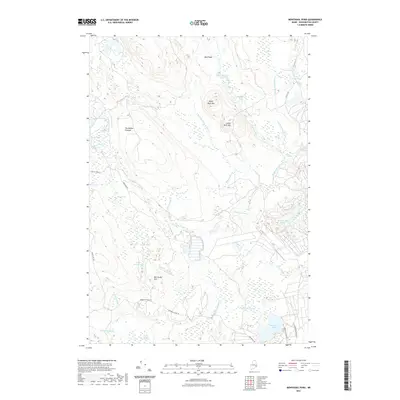
 2024 Montegail Pond2024 Print · USGSThe Maine backcountry in the twenty-first century remains a landscape of intricate waterways and timberlands. Researchers can trace the modern logging network via Bombing Range Rd while locating landmarks like Montegail Pond and Ben Tucker Mtn.
 - 2024 Map of Peaked Mountain Pond, 2024 Print
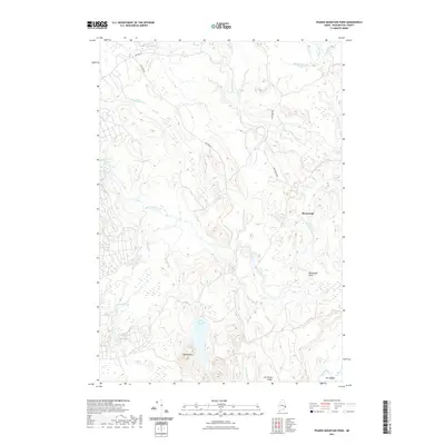
 2024 Peaked Mountain Pond2024 Print · USGSWashington County’s interior river systems are documented here in the early twenty-first century, showcasing a landscape of isolated ridges and rapids. Trace the descent of the Machias River past Holmes Falls or locate the quiet waters of Peaked Mountain Pond and The Oxbow.
End of results
Showing maps 1-8 of 8
Top cities near T19 MD BPP
- Gouldsboro historical maps
- Milbridge historical maps
- Jonesport historical maps
- Addison historical maps
- Steuben historical maps
- Cherryfield historical maps
See more
Frequently asked questions
- What are the different types of historical maps available for T19 MD BPP?
- What is the oldest map of T19 MD BPP?
- Where can I purchase historical maps of T19 MD BPP for my home or office?
- Where can I download high-res historical maps of T19 MD BPP?
- Are there historical topographic maps available for T19 MD BPP?
- Is there historical aerial imagery available for T19 MD BPP?
- Where are historical maps of T19 MD BPP sourced from?