2010s Maps of T19 MD BPP, Maine
Explore 12 historic maps of T19 MD BPP from the 2010s. These maps offer a rare glimpse into what life looked like during the 2010s — showing old roads, neighborhoods, homes, and landmarks that have changed or disappeared over time.
Whether you're researching your family's past, planning a metal detecting trip, or studying how T19 MD BPP's landscape evolved across the 2010s, these high-resolution maps are a powerful tool for exploring the history of this region.
- Focus on a specific era: All maps on this page are from the 2010s, giving you a focused view of this time period.
- See what’s changed: Compare century-old streets, trails, and buildings to today's modern landscape using overlays and satellite layers.
- Research with precision: Use these maps for genealogy, historical research, land use analysis, or educational projects.
- View, download, or print: Maps are fully viewable online in high resolution, and can be downloaded or printed for your own records.
Start exploring T19 MD BPP's history through authentic maps from the 2010s. This is your window into the past.
T19 MD BPP, ME maps
(12)- 2011 Map of Epping, 2011 Print
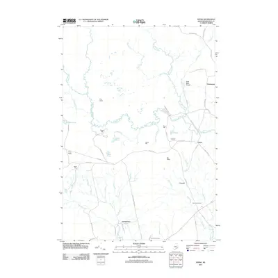 2011 Epping2011 Print · USGSWashington County, Maine, in the early 2010s shows a landscape of small riverfront hamlets and quiet woodlands. Researchers can trace local family lineages through Columbia Cemetery or follow the historic paths of Tibbettstown Rd and Station Rd.
 - 2011 Map of Columbia Falls, 2011 Print
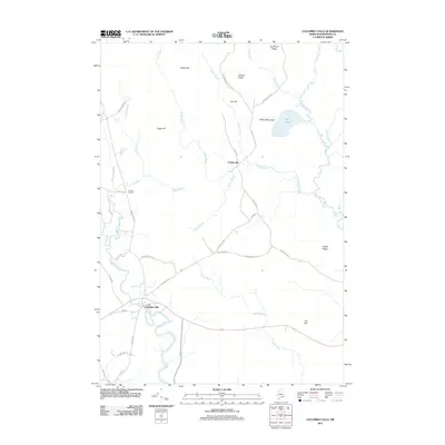 2011 Columbia Falls2011 Print · USGSCoastal Washington County is seen here in the early twenty-first century as a landscape of river valleys and timbered ridges. Researchers can trace the waterways of the Pleasant River and Indian River or locate landmarks like Big Heath and Milton Mountain.
 - 2011 Map of Montegail Pond, 2011 Print
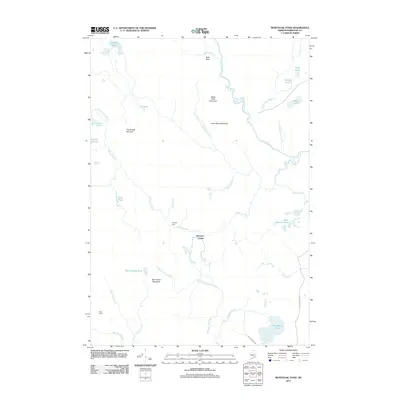 2011 Montegail Pond2011 Print · USGSWashington County at the start of the 2010s remains a wilderness of timber roads and winding waterways. Researchers can trace land use through Nash Timber Rd, or locate remote sites like Brewster Corner and Six Mile Dam.
 - 2011 Map of Peaked Mountain Pond, 2011 Print
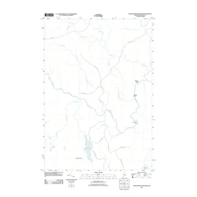 2011 Peaked Mountain Pond2011 Print · USGSWashington County’s interior river systems and timberlands are captured here in the early 2000s. Researchers can locate remote family-named sites like the Mattimo Place or trace the winding course of the Machias River past Hardwood Point.
 - 2014 Map of Columbia Falls, 2014 Print
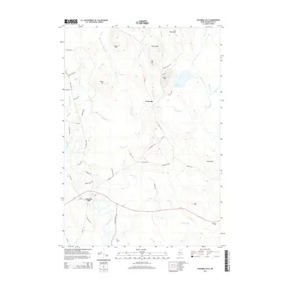 2014 Columbia Falls2014 Print · USGSCoastal Washington County in the early twenty-first century reveals a landscape of river-fed lowlands and wooded ridges. Genealogists and local historians can trace family-named landmarks and sites like Merritt Cem, Centerville, and the banks of the Pleasant River.
 - 2014 Map of Epping, 2014 Print
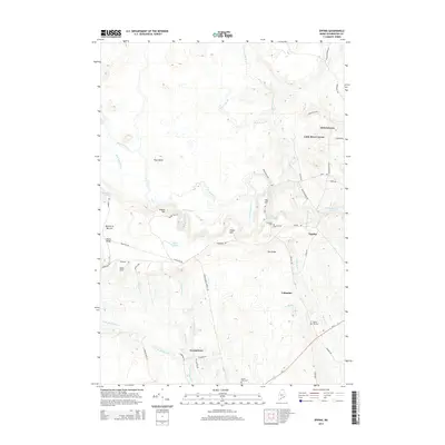 2014 Epping2014 Print · USGSCoastal Washington County in the early 2010s reveals a traditional landscape of riverfront villages and agricultural barrens. Local historians can trace the foundations of Epping and Columbia, or locate family sites near Malley Hill Cem and Tibbetts-Town.
 - 2014 Map of Peaked Mountain Pond, 2014 Print
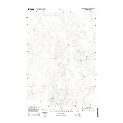 2014 Peaked Mountain Pond2014 Print · USGSIn the north woods of Maine during the early twenty-first century, the river systems and timber lands of Washington County remained a maze of brooks and ridges. Genealogists and outdoor historians can trace family-named sites like Mattimo Place or locate camps along the Machias River and Peaked Mountain Pond.
 - 2014 Map of Montegail Pond, 2014 Print
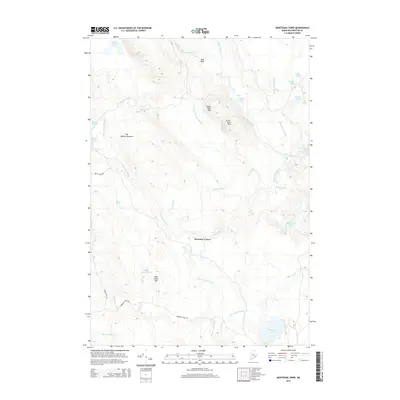 2014 Montegail Pond2014 Print · USGSWashington County, Maine, remains a landscape of sprawling timberlands and intricate river systems as seen in the twenty-first century. Researchers can trace land use through features like Brewster Corner or explore the drainage of Rocky Lake and Montegail Pond.
 - 2018 Map of Montegail Pond, 2018 Print
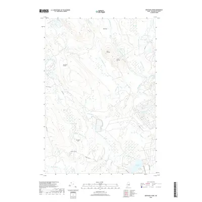 2018 Montegail Pond2018 Print · USGSWashington County’s interior timberlands and river systems are documented here in the early twenty-first century. Outdoor enthusiasts and local historians can trace the course of the Machias River past Little Falls and locate remote landmarks like Ben Tucker Mtn.
 - 2018 Map of Epping, 2018 Print
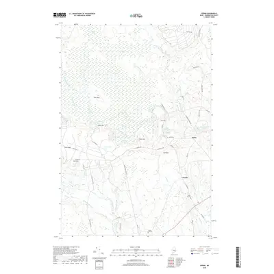 2018 Epping2018 Print · USGSThis rural Washington County landscape in the late 2010s shows a classic Maine pattern of small villages and vast peatlands. Researchers can locate family landmarks like Mailey Hill Cem and trace the paths of Great Marsh Stream and the Harrington River.
 - 2018 Map of Peaked Mountain Pond, 2018 Print
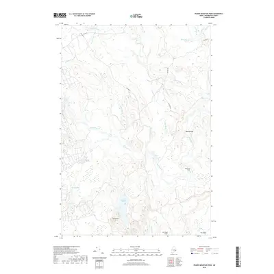 2018 Peaked Mountain Pond2018 Print · USGSWashington County, Maine, is shown in this recent survey during a period of modern forest management and river preservation. Researchers can trace land features like Peaked Mountain Pond and Rivers End, or follow the Machias River past Lowery Wigwam Rapids.
 - 2018 Map of Columbia Falls, 2018 Print
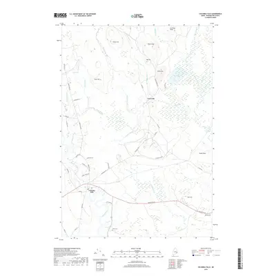 2018 Columbia Falls2018 Print · USGSInland Washington County is captured here in the late 2010s, showing a landscape defined by coastal rivers and vast peatlands. Researchers can trace family sites near Merritt Cem or follow the historic paths of Tibbettstown Rd and Centerville Rd.
End of results
Showing maps 1-12 of 12
Top cities near T19 MD BPP
- Gouldsboro historical maps
- Milbridge historical maps
- Jonesport historical maps
- Addison historical maps
- Steuben historical maps
- Cherryfield historical maps
See more
Frequently asked questions
- What are the different types of historical maps available for T19 MD BPP?
- What is the oldest map of T19 MD BPP?
- Where can I purchase historical maps of T19 MD BPP for my home or office?
- Where can I download high-res historical maps of T19 MD BPP?
- Are there historical topographic maps available for T19 MD BPP?
- Is there historical aerial imagery available for T19 MD BPP?
- Where are historical maps of T19 MD BPP sourced from?