Old Maps of Halls Mills, Whiting for Academic Research
Study the evolution of Halls Mills with 13 high-resolution historic maps. Whether you're teaching, researching, or modeling changes in land use, these maps provide essential visual documentation of urban, environmental, and geographic change.
- Analyze long-term change: Track patterns in development, transportation, and natural features.
- Ideal for environmental or urban studies: Support academic projects with primary historical map data.
- Use in the classroom or lab: Educators and researchers rely on these maps to bring historical context to life.
These maps are a powerful tool for teaching, research, and visualizing how Halls Mills has changed over the decades.
Halls Mills, Whiting maps
(13)- 1941 Map of Gardner Lake, 1958 Print
 1941 Gardner Lake1958 Print · USGSWashington County during the early 1940s was a landscape of remote timberlands and tight-knit settlements along the Maine Central line. Genealogists and historians can locate rural schoolhouses like Gardner Lake Sch and vanished local hubs such as Chase Mills and Halls Mills.3 unique versions available
 - 1943 Map of Gardner Lake
 1943 Gardner Lake1943 Print · USGSWashington County's lake-country comes alive in this early 1940s survey, showing a landscape of remote mills and scattered schoolhouses. Researchers can trace family sites near Marion or locate old landmarks like the Gardner Lake Sch and the firetower on Cooper Hill.3 unique versions available
 - 1961 Map of Eastport
 1961 Eastport1961 Print · USGSThe maritime borderlands of Maine and New Brunswick are captured here in the early sixties, showing a world defined by the Bay of Fundy. Researchers can trace the Maine Central Railroad to Machiasport or explore remote island villages like Grand Harbour and Welchpool.
 - 1969 Map of Eastport
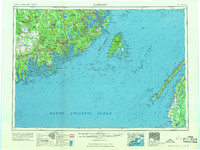 1969 Eastport1969 Print · USGSThe maritime borderlands of Washington County and New Brunswick appear in detail during the late sixties. Researchers can trace historic rail lines like the Maine Central Railroad and explore coastal settlements from Machias to St. Andrews.
 - 1976 Map of Eastport
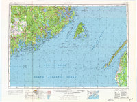 1976 Eastport1976 Print · USGSThe maritime borderlands of Maine and Nova Scotia come alive in this mid-seventies survey of the Downeast coast. Genealogists and historians can trace the shoreline settlements of Eastport, Lubec, and Machias, or cross the channel to find Acadian villages like Church Point and Meteghan Centre.
 - 1985 Map of Machias, 1986 Print
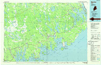 1985 Machias1986 Print · USGSThe Downeast coast of Maine in the 1980s reveals a landscape of deep-water bays, tidal rivers, and isolated timberlands. Researchers can trace the Maine Central rail line and locate coastal landmarks from Leighton Point to the U.S. Naval Radio Station.
 - 1987 Map of Long Lake, 1988 Print
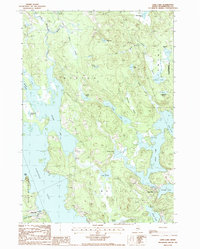 1987 Long Lake1988 Print · USGSCoastal Washington County is shown here in the late eighties, a land defined by intricate waterways and small mill settlements. Researchers can locate family landmarks at Chase Mills and Halls Mills, or trace the winding course of the East Machias River and Rocky Lake.
 - 1994 Map of Machias
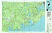 1994 Machias1994 Print · USGSThe Downeast coast of Maine in the 1990s is captured here, from the Narraguagus River to the Canadian border. Genealogists and historians can trace coastal settlements like Jonesboro and Addison or locate the U.S. Naval Radio Station and Moosehorn National Wildlife Refuge.
 - 2011 Map of Long Lake, 2011 Print
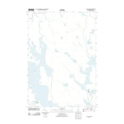 2011 Long Lake2011 Print · USGSCoastal Maine lake country near East Machias is captured here in the early twenty-first century, showcasing a landscape of interconnected water and woodland. Genealogists and local historians can trace legacy sites like Chase Mills, Halls Mills, and the MIT Camp.
 - 2014 Map of Long Lake, 2014 Print
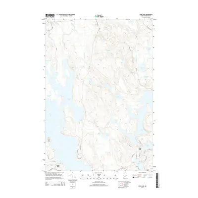 2014 Long Lake2014 Print · USGSCoastal Maine's interior lake country is captured here during the mid-twenty-tens, showing a landscape defined by glacial basins and small milling settlements. Researchers can trace local history around Halls Mills, Chase Mills, and the expansive shores of Gardner Lake.
 - 2018 Map of Long Lake, 2018 Print
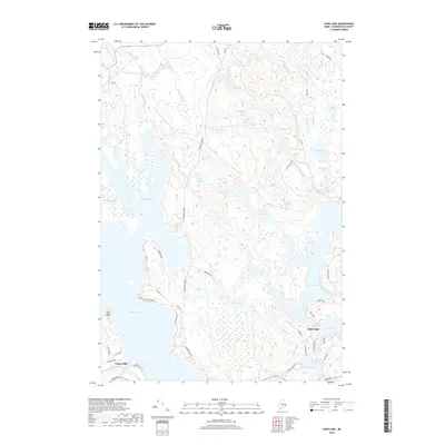 2018 Long Lake2018 Print · USGSCoastal Washington County's interior is a maze of glacial lakes and historical mill sites in this modern survey. Genealogists and historians can trace the roads around Halls Mills or locate local landmarks like High Head and the old path of Stage Rd.
 - 2021 Map of Long Lake, 2021 Print
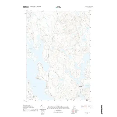 2021 Long Lake2021 Print · USGSCoastal Washington County is defined by its deep lakes and winding streams in this contemporary record. Researchers can trace the legacy of small mill settlements like Halls Mills and Chase Mills, or explore the shorelines of Gardner Lake and Long Lake.
 - 2024 Map of Long Lake, 2024 Print
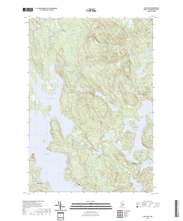 2024 Long Lake2024 Print · USGSCoastal Washington County is a landscape of glacial lakes and old mill sites in this contemporary survey. Genealogists and historians can locate family landmarks like Gardner Lake Cem or trace the early settlement footprints at Chase Mills and Halls Mills.
End of results
Showing maps 1-13 of 13
Frequently asked questions
- What are the different types of historical maps available for Halls Mills?
- What is the oldest map of Halls Mills?
- Where can I purchase historical maps of Halls Mills for my home or office?
- Where can I download high-res historical maps of Halls Mills?
- Are there historical topographic maps available for Halls Mills?
- Is there historical aerial imagery available for Halls Mills?
- Where are historical maps of Halls Mills sourced from?