2020s Maps of Lebanon, Maine
Explore 8 historic maps of Lebanon from the 2020s. These maps offer a rare glimpse into what life looked like during the 2020s — showing old roads, neighborhoods, homes, and landmarks that have changed or disappeared over time.
Whether you're researching your family's past, planning a metal detecting trip, or studying how Lebanon's landscape evolved across the 2020s, these high-resolution maps are a powerful tool for exploring the history of this region.
- Focus on a specific era: All maps on this page are from the 2020s, giving you a focused view of this time period.
- See what’s changed: Compare century-old streets, trails, and buildings to today's modern landscape using overlays and satellite layers.
- Research with precision: Use these maps for genealogy, historical research, land use analysis, or educational projects.
- View, download, or print: Maps are fully viewable online in high resolution, and can be downloaded or printed for your own records.
Start exploring Lebanon's history through authentic maps from the 2020s. This is your window into the past.
Lebanon, ME maps
(8)- 2021 Map of Sanford, 2021 Print
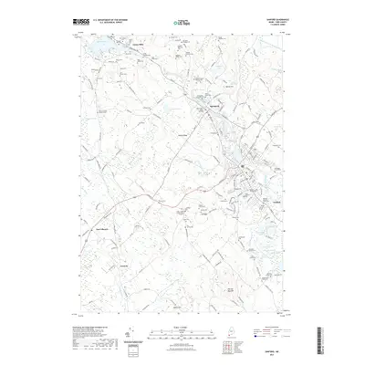 2021 Sanford2021 Print · USGSCovers Lebanon, including Sanford, North Berwick, and other nearby areas
 - 2021 Map of Milton, 2021 Print
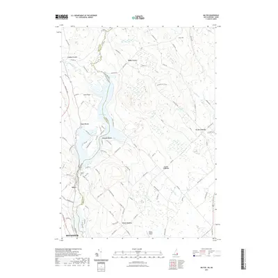 2021 Milton2021 Print · USGSCovers Lebanon, including Rochester, Farmington, and other nearby areas
 - 2021 Map of Somersworth, 2021 Print
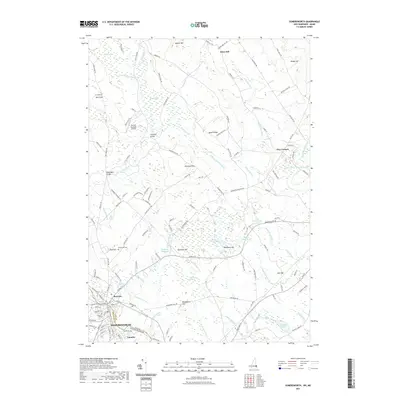 2021 Somersworth2021 Print · USGSCovers Lebanon, including Somersworth, Berwick, and other nearby areas
 - 2021 Map of Rochester, 2021 Print
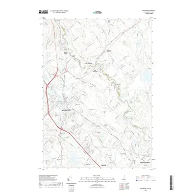 2021 Rochester2021 Print · USGSCovers Lebanon, including Dover, Rochester, and other nearby areas
 - 2024 Map of Sanford, 2024 Print
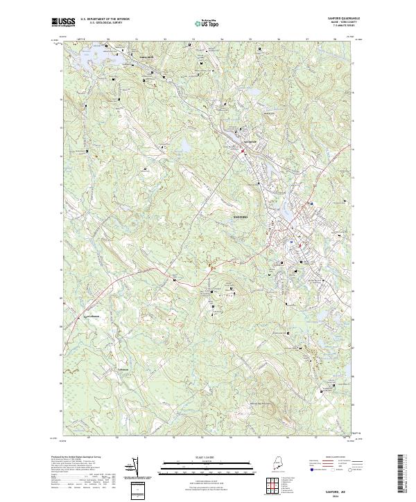 2024 Sanford2024 Print · USGSThe industrial and residential heart of York County, Maine, is shown here during a period of sustained growth. Genealogists can trace hundreds of local family names through distinctive burial sites like the Worster Family Burial Ground and Saint Ignatius Cemetery.
 - 2024 Map of Somersworth, 2024 Print
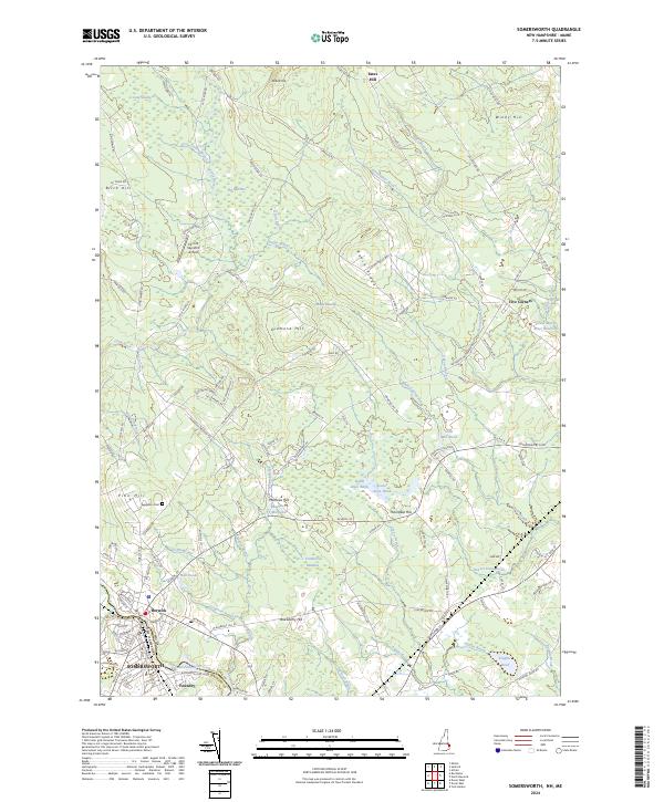 2024 Somersworth2024 Print · USGSThe borderlands of New Hampshire and Maine come alive in this recent survey of the Salmon Falls River valley. Researchers can trace local landmarks from Evergreen Cem and Foundry to the distinctive Perrotti Skyranch Airfield and Mathews Millpond.
 - 2024 Map of Rochester, 2024 Print
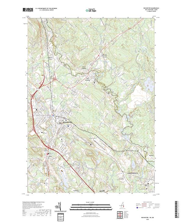 2024 Rochester2024 Print · USGSRochester and the surrounding Strafford County landscape are captured here in the contemporary era as a complex network of riverfront settlements and interstate transit. Genealogists can trace family roots through over a dozen burial sites including Forest Glade Cem, Saint Marys Cem, and Hurd Cem.
 - 2024 Map of Milton, 2024 Print
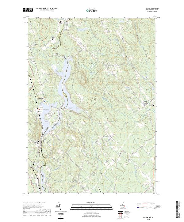 2024 Milton2024 Print · USGSThe Salmon Falls River valley along the New Hampshire and Maine border remains a landscape of connected water bodies and old villages. Researchers can trace family history through sites like Milton Mills Cem, Silver Street Cem, and the settlement at North Lebanon.
End of results
Showing maps 1-8 of 8
Top cities near Lebanon
- Dover historical maps
- Rochester historical maps
- Sanford historical maps
- York historical maps
- Somersworth historical maps
- Wells historical maps
See more
Top neighborhoods of Lebanon
- Blaisdell Corners historical maps
- North Lebanon historical maps
- West Lebanon historical maps
- Fernald Shore historical maps
- South Lebanon historical maps
- East Lebanon historical maps
See more
Frequently asked questions
- What are the different types of historical maps available for Lebanon?
- What is the oldest map of Lebanon?
- Where can I purchase historical maps of Lebanon for my home or office?
- Where can I download high-res historical maps of Lebanon?
- Are there historical topographic maps available for Lebanon?
- Is there historical aerial imagery available for Lebanon?
- Where are historical maps of Lebanon sourced from?