Old Maps of Lynn Woods, Maryland for Genealogy
Trace your family roots with 18 historic maps of Lynn Woods. These high-res maps reveal old neighborhoods, homesites, landmarks, and streets — helping you uncover where your ancestors lived and how the area evolved over time.
- Explore historic neighborhoods: Identify where your relatives may have lived in the 1800s or 1900s.
- Compare maps over time: Trace the changes in streets, buildings, and landmarks for multi-generational research.
- Perfect for genealogy & ancestry research: Used by family historians and researchers to map out lineage and migration.
These maps are an incredible resource for exploring your personal connection to Lynn Woods's past.
Lynn Woods, MD maps
(18)- 1899 Map of Dover
 1899 Dover1899 Print · USGSDelaware and Maryland river country thrived in the late nineteenth century as a network of landings and rail lines. Trace old wharves at Cassidy Ldg., explore the area around Bohemia Mills, or locate maritime landmarks like Bombay Hook Light.2 unique versions available
 - 1905 Map of Barclay
 1905 Barclay1905 Print · USGSUpper Delmarva at the start of the twentieth century was a landscape of rail-connected farming towns and river landings. Trace family roots and old property lines near Sudlersville, the Ashland Hayden P O, and the Benedictine Convent.3 unique versions available
 - 1906 Map of Dover
 1906 Dover1906 Print · USGSCentral Delaware and Maryland's Eastern Shore appear at the start of the twentieth century, focused on the bustling rail-and-river economy. Genealogists can trace old family landing sites and crossroads villages like Bohemia Mills, Deakyneville Ldg., and Seven Hickories.3 unique versions available
 - 1920 Map of Dover
 1920 Dover1920 Print · USGSThe Maryland and Delaware borderlands at the end of the Great War reveal a landscape of tidewater landings and evolving rail lines. Trace family roots and vanished wharves through Fredericktown, the Mason and Dixon Line, and the Bombay Hook Light.
 - 1944 Map of Price
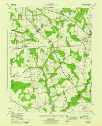 1944 Price1944 Print · USGSQueen Anne's County was a landscape of quiet agricultural hamlets and country parishes during the mid-forties. Genealogists and local historians can trace family roots through landmarks like Bethany Church, the St Gertrude Academy, or the settlement of Price along the Pennsylvania railroad line.4 unique versions available
 - 1946 Map of Wilmington, 1948 Print
 1946 Wilmington1948 Print · USGSThe Delaware Valley and Jersey Shore emerge in this mid-century portrait of a region defined by river commerce and seaside growth. Genealogists and historians can trace the rail networks of the Pennsylvania Railroad, locate early airfields like Dover Airpark, and find river defenses at Fort Delaware.2 unique versions available
 - 1951 Map of Barclay
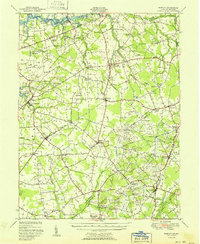 1951 Barclay1951 Print · USGSMid-century Queen Anne's County is captured here in its prime agricultural era, just as modern drainage was reshaping the Delmarva landscape. Genealogists can trace family names at Hackett Corners or locate landmarks like St Gertrude Academy and the Pennsylvania rail line.2 unique versions available
 - 1955 Map of Wilmington
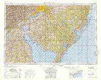 1955 Wilmington1955 Print · USGSThe Delaware Valley and Jersey Shore are seen here during the mid-fifties era of rapid suburban expansion and highway development. You can trace the path of the New Jersey Turnpike, locate the Fort Dix Military Reservation, or explore the rail networks of the Pennsylvania Railroad.
 - 1957 Map of Wilmington
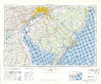 1957 Wilmington1957 Print · USGSThe mid-Atlantic coastal plain comes alive in the mid-fifties as the New Jersey Turnpike and Garden State Parkway redefine travel. Researchers can trace the rail-to-road transition and find landmarks like Ship John Shoal Light and the Fort Dix Military Reservation.2 unique versions available
 - 1959 Map of Wilmington
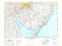 1959 Wilmington1959 Print · USGSThe Delaware Valley and Jersey Shore are seen here in the late fifties, during a period of massive suburban and highway expansion. Researchers can trace mid-century infrastructure like the N J Turnpike or locate coastal landmarks from Barnegat Bay to the Maurice River.3 unique versions available
 - 1966 Map of Wilmington, 1968 Print
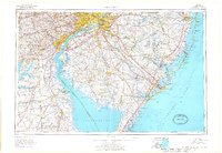 1966 Wilmington1968 Print · USGSThe Delaware Valley and Jersey Shore are seen here in the mid-1960s, documenting a landscape of dense industrial cities and emerging coastal resorts. Researchers can trace the sprawling rail networks of the Pennsylvania Railroad or locate landmarks like Fort Dix Military Reservation and Elk Neck State Park.4 unique versions available
 - 1972 Map of Wilmington, 1976 Print
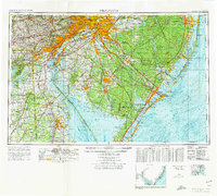 1972 Wilmington1976 Print · USGSThe Delaware Valley and Jersey Shore are seen here in the 1970s, showcasing the region's dense transport networks and vast state forests. Trace early coastal development near Atlantic City or locate rural landmarks like Mount Holly and Dover Air Force Base.2 unique versions available
 - 1984 Map of Dover, 1985 Print
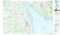 1984 Dover1985 Print · USGSThe Delaware Bay coastline and its surrounding communities are captured here in the mid-1980s. Genealogists and historians can trace the growth of Dover, locate rural landmarks like St Augustine, or study the rail networks of CONRAIL and the Dover Air Force Base.
 - 2011 Map of Price, 2011 Print
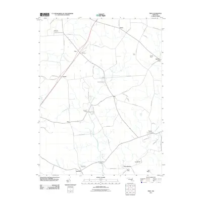 2011 Price2011 Print · USGSQueen Anne's County's rural crossroads and agricultural heritage are well-preserved in this study of the Maryland landscape during the 2010s. Researchers can locate specific sites like the Queen Annes County Home, Mount Olive Cemetery, and the Price Post Office.
 - 2014 Map of Price, 2014 Print
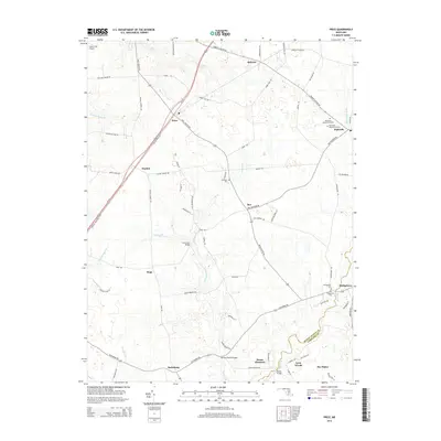 2014 Price2014 Print · USGSQueen Anne's County is seen here at the dawn of the twenty-first century, characterized by its enduring agricultural landscape and small crossroads hamlets. Researchers can trace historic family properties near Ruthsburg or locate local landmarks like Mt Olive Cem and Clucktown Bridge.
 - 2017 Map of Price, 2017 Print
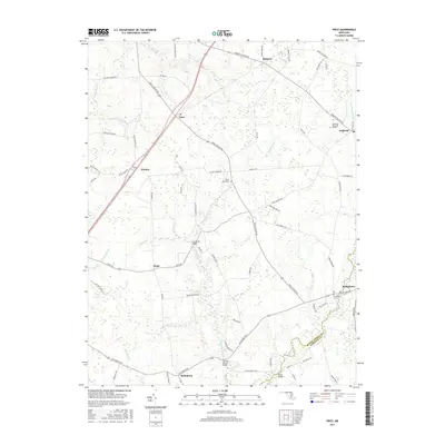 2017 Price2017 Print · USGSQueen Anne's and Caroline Counties are mapped here in the late twenty-teens, showing a landscape of traditional farming crossroads and local creek branches. Researchers can trace family sites near Ingleside, Ruthsburg, and the Bridgetown Cem.
 - 2019 Map of Price, 2019 Print
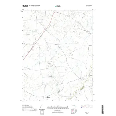 2019 Price2019 Print · USGSThe Eastern Shore's rural character is preserved in this recent survey of the Maryland countryside. Researchers can trace the colonial-era boundaries of QUEEN ANNE'S CO and locate local landmarks like Mount Olive Cemetery and Myles Landing.
 - 2023 Map of Price, 2023 Print
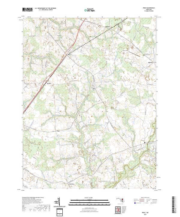 2023 Price2023 Print · USGSThe Eastern Shore town of Price and its surrounding agricultural hamlets are shown here in the 2020s. Genealogists can locate family landmarks like Mount Olive Cem or trace the rural routes connecting Hayden, Hope, and the crossroads of Ruthsburg.
End of results
Showing maps 1-18 of 18
Top cities near Lynn Woods
- Easton historical maps
- Chestertown historical maps
- Denton historical maps
- Centreville historical maps
- Greensboro historical maps
- Kingstown historical maps
See more
Frequently asked questions
- What are the different types of historical maps available for Lynn Woods?
- What is the oldest map of Lynn Woods?
- Where can I purchase historical maps of Lynn Woods for my home or office?
- Where can I download high-res historical maps of Lynn Woods?
- Are there historical topographic maps available for Lynn Woods?
- Is there historical aerial imagery available for Lynn Woods?
- Where are historical maps of Lynn Woods sourced from?