Old Maps of New Market, Maryland for Metal Detecting
Plan your next treasure hunt with 26 historic maps of New Market. Find old homesites, ghost towns, trails, and gathering spots that may be lost to time — perfect for identifying promising metal detecting locations.
- Locate forgotten sites: Uncover places like long-lost settlements, abandoned rail lines, or gathering spots.
- Plan better hunts: Use map overlays combined with LiDAR or satellite views to narrow in on historically rich areas.
- Made for detectorists: Thousands of hobbyists use these maps to discover relics, coins, and hidden history.
Use these historic maps to boost your research and find new opportunities beneath the surface of New Market.
New Market, MD maps
(26)- 1893 Map of Frederick
 1893 Frederick1893 Print · USGSMaryland's Piedmont region at the end of the nineteenth century reveals a landscape defined by the Potomac River and the rise of rail transit. Researchers can trace the path of the Chesapeake and Ohio Canal or locate local hubs like Poolesville and Buckeystown.
 - 1894 Map of Frederick
 1894 Frederick1894 Print · USGSMaryland's Piedmont region in the late nineteenth century was a complex network of river crossings and railway junctions. Researchers can trace the path of the Baltimore & Ohio R. R. past Sugar Loaf Mtn. and locate historic river sites like Nolands Ferry.5 unique versions available
 - 1908 Map of Ijamsville, 1921 Print
 1908 Ijamsville1921 Print · USGSFrederick and its surrounding valley are captured here just after the turn of the century, showing a landscape defined by historic turnpikes and the winding Monocacy River. Genealogists and historians can trace defunct schoolhouses, early turnpike toll gates like Fountain Rock T.G., and family landmarks near Sugarloaf Mtn.
 - 1909 Map of Ijamsville
 1909 Ijamsville1909 Print · USGSFrederick County and parts of Montgomery County are documented here during an era of significant rail and turnpike expansion. Genealogists and historians can locate early post offices and stations such as Araby P O, Ijamsville, and the Almshouse near Frederick.9 unique versions available
 - 1942 Map of Frederick
 1942 Frederick1942 Print · USGSMid-century Maryland's central corridor is centered on Frederick as it appeared before the modern interstate system. Researchers can trace the routes of the B & O Canal, locate the Montevue Almshouse, and see the intersection of the Northern Central RR with early turnpikes.
 - 1944 Map of Walkersville
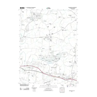
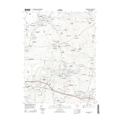
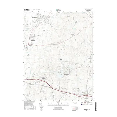
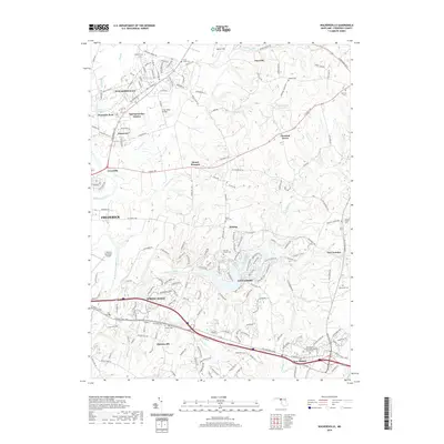
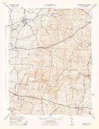 1944 Walkersville1944 Print · USGSFrederick County at the height of the Second World War shows a rural landscape of limestone quarries, rail corridors, and small crossroads hamlets. Genealogists can trace family footprints through Walkersville, Libertytown, and New Market, or locate industrial sites like the Lime Kiln and Old Quarry.2 unique versions available
 - 1944 Map of Urbana
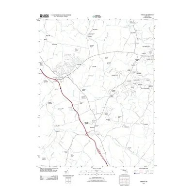
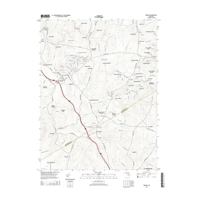
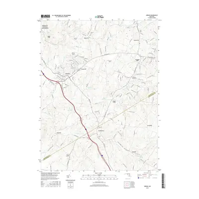
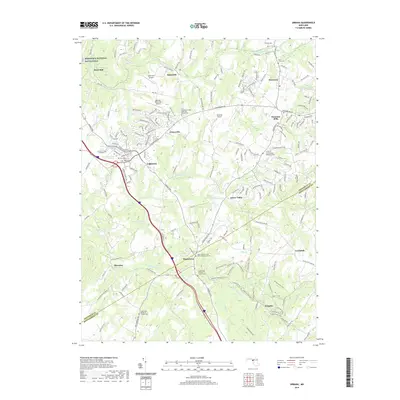
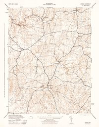 1944 Urbana1944 Print · USGSAs World War II drew to a close, the rolling Piedmont between Frederick and Montgomery counties remained a landscape of rail-side villages and small milling communities. Trace the legacy of rural life through the Baltimore and Ohio corridor at Ijamsville, the local Grist Mill near Hyattstown, and the old cemeteries of Lewisdale.2 unique versions available
 - 1948 Map of Baltimore
 1948 Baltimore1948 Print · USGSMaryland and Pennsylvania crossroads are captured in the late 1940s, showing a landscape defined by historic rail lines and major military installations. Genealogists can trace family connections in Gettysburg, Westminster, and near the U.S. Naval Academy in Annapolis.2 unique versions available
 - 1953 Map of Walkersville
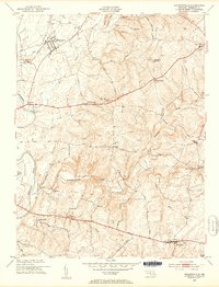 1953 Walkersville1953 Print · USGSMid-century Frederick County comes to life in this survey of the agrarian lands around the Monocacy River and the growing town of Walkersville. Genealogists can trace family footprints at Glade Cem, Silver Hill Ch, and old crossroads like McKaig or Daysville.8 unique versions available
 - 1953 Map of Urbana, 1954 Print
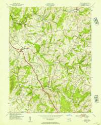 1953 Urbana1954 Print · USGSMid-century Frederick and Montgomery Counties are captured here just as the modern highway begins to bypass rural crossroads. Genealogists and local historians can trace the foundations of Urbana and Monrovia or locate the German Brethren Ch and Ebenezer Sch.6 unique versions available
 - 1954 Map of Baltimore
 1954 Baltimore1954 Print · USGSThe Mid-Atlantic region in the early fifties shows a landscape of growing suburban centers and heavy rail corridors. Trace mid-century transit networks and military landmarks from the Aberdeen Proving Ground to the Gettysburg National Military Park.
 - 1956 Map of Baltimore
 1956 Baltimore1956 Print · USGSMid-century Maryland and Pennsylvania are captured here during a period of massive suburban and military growth across the Chesapeake region. Genealogists and historians can trace the rail corridors of the Baltimore & Ohio RR and locate landmarks like Fort McHenry or the Aberdeen Proving Ground.
 - 1957 Map of Baltimore, 1964 Print
 1957 Baltimore1964 Print · USGSMaryland and Southern Pennsylvania are shown during the mid-century expansion of the Baltimore-Washington corridor. Researchers can trace the extensive rail lines of the Baltimore & Ohio RR and locate sites like Fort Detrick and Gettysburg National Military Park.5 unique versions available
 - 1961 Map of Baltimore
 1961 Baltimore1961 Print · USGSMaryland and Pennsylvania are captured at a mid-century peak of industrial and military expansion. Genealogists and historians can trace rail corridors like the Western Maryland Ry or locate regional landmarks such as Camp Detrick and Kent Island.
 - 1984 Map of Frederick, 1985 Print
 1984 Frederick1985 Print · USGSMaryland's Piedmont and the Potomac River valley are shown here in the mid-eighties as suburban growth began to meet historic rural landscapes. Genealogists and historians can trace the paths of the Baltimore and Ohio RR or locate the boundaries of Antietam National Battlefield and Fort Detrick.
 - 1989 Map of Baltimore
 1989 Baltimore1989 Print · USGSThe Mid-Atlantic corridor in the late eighties is captured here, from the Baltimore harbor to the Blue Ridge foothills. Researchers can trace the sprawling footprints of Aberdeen Proving Ground, the historic grounds of Gettysburg National Military Park, and the winding Susquehanna River.
 - 2011 Map of Walkersville, 2011 Print
 2011 Walkersville2011 Print · USGSCovers New Market, including Frederick, Linganore, and other nearby areas
 - 2011 Map of Urbana, 2011 Print
 2011 Urbana2011 Print · USGSCovers New Market, including Urbana, Monrovia, and other nearby areas
 - 2014 Map of Walkersville, 2014 Print
 2014 Walkersville2014 Print · USGSCovers New Market, including Frederick, Linganore, and other nearby areas
 - 2014 Map of Urbana, 2014 Print
 2014 Urbana2014 Print · USGSCovers New Market, including Urbana, Monrovia, and other nearby areas
 - 2016 Map of Walkersville, 2016 Print
 2016 Walkersville2016 Print · USGSCovers New Market, including Frederick, Linganore, and other nearby areas
 - 2016 Map of Urbana, 2016 Print
 2016 Urbana2016 Print · USGSCovers New Market, including Urbana, Monrovia, and other nearby areas
 - 2019 Map of Walkersville, 2019 Print
 2019 Walkersville2019 Print · USGSCovers New Market, including Frederick, Linganore, and other nearby areas
 - 2019 Map of Urbana, 2019 Print
 2019 Urbana2019 Print · USGSCovers New Market, including Urbana, Monrovia, and other nearby areas
 - 2023 Map of Urbana, 2023 Print
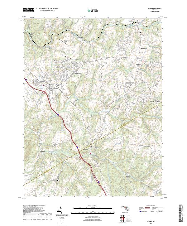 2023 Urbana2023 Print · USGSMaryland's rolling landscape south of the National Pike is captured here in the contemporary era. Researchers can trace historic family connections at the Bush Creek Cem, locate old industrial sites like Reels Mill, or explore the crossroads at Ijamsville.
Showing maps 1-25 of 26
Top cities near New Market
- Germantown historical maps
- Frederick historical maps
- Gaithersburg historical maps
- Montgomery Village historical maps
- Ballenger Creek historical maps
- Clarksburg historical maps
See more
Top neighborhoods of New Market
Frequently asked questions
- What are the different types of historical maps available for New Market?
- What is the oldest map of New Market?
- Where can I purchase historical maps of New Market for my home or office?
- Where can I download high-res historical maps of New Market?
- Are there historical topographic maps available for New Market?
- Is there historical aerial imagery available for New Market?
- Where are historical maps of New Market sourced from?