2000s (21st Century) Maps of Rosemont, Maryland
Explore 6 historic maps of Rosemont from the 2000s (21st Century). These maps offer a rare glimpse into what life looked like during the 2000s — showing old roads, neighborhoods, homes, and landmarks that have changed or disappeared over time.
Whether you're researching your family's past, planning a metal detecting trip, or studying how Rosemont's landscape evolved across the 2000s, these high-resolution maps are a powerful tool for exploring the history of this region.
- Focus on a specific era: All maps on this page are from the 2000s, giving you a focused view of this time period.
- See what’s changed: Compare century-old streets, trails, and buildings to today's modern landscape using overlays and satellite layers.
- Research with precision: Use these maps for genealogy, historical research, land use analysis, or educational projects.
- View, download, or print: Maps are fully viewable online in high resolution, and can be downloaded or printed for your own records.
Start exploring Rosemont's history through authentic maps from the 2000s. This is your window into the past.
Rosemont, MD maps
(6)- 2011 Map of Point of Rocks, 2011 Print
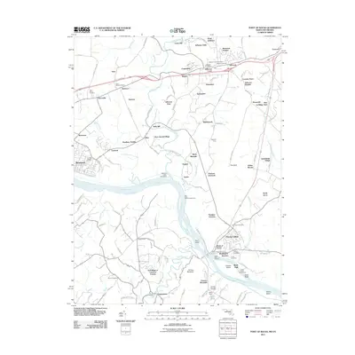 2011 Point of Rocks2011 Print · USGSCovers Rosemont, including Brunswick, Point of Rocks, and other nearby areas
 - 2014 Map of Point of Rocks, 2014 Print
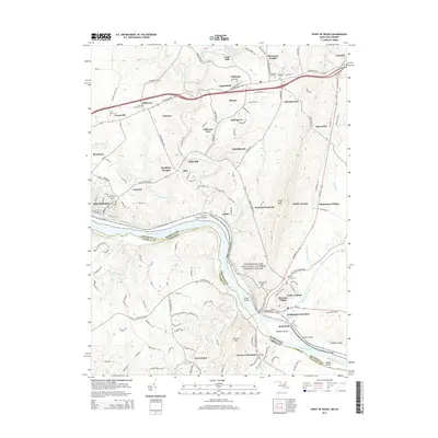 2014 Point of Rocks2014 Print · USGSCovers Rosemont, including Brunswick, Point of Rocks, and other nearby areas
 - 2016 Map of Point of Rocks, 2016 Print
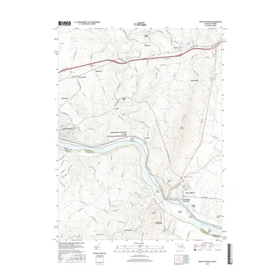 2016 Point of Rocks2016 Print · USGSCovers Rosemont, including Brunswick, Point of Rocks, and other nearby areas
 - 2019 Map of Point of Rocks, 2019 Print
 2019 Point of Rocks2019 Print · USGSCovers Rosemont, including Brunswick, Point of Rocks, and other nearby areas
 - 2023 Map of Point of Rocks, 2023 Print
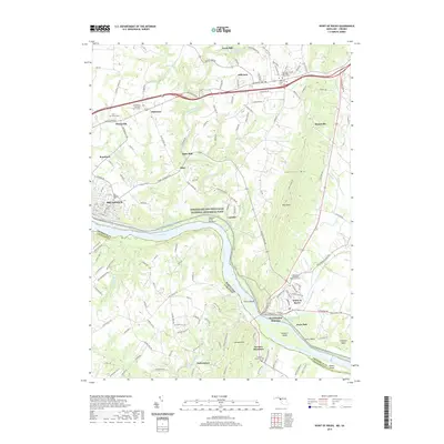
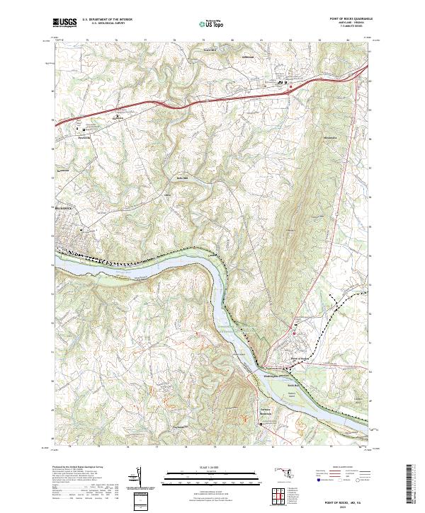 2023 Point of Rocks2023 Print · USGSThe Maryland-Virginia border along the Potomac River comes to life in this contemporary survey of the river valley. Genealogists and historians can trace numerous family and church burial grounds, from Saint Pauls Episcopal Church Cem to the Union Bethel African Methodist Episcopal Cem.
 - 2023 Map of Harpers Ferry, 2023 Print
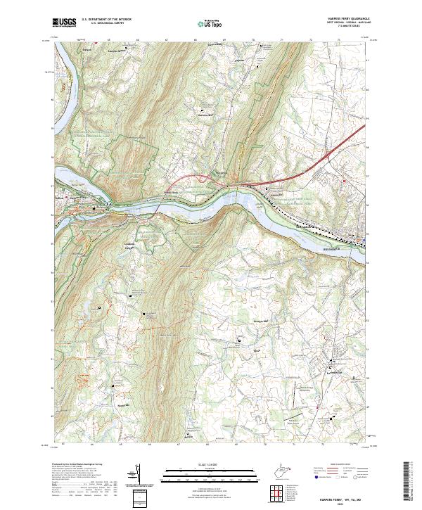 2023 Harpers Ferry2023 Print · USGSThe Potomac River water gap and the tri-state junction of Maryland, Virginia, and West Virginia are captured here in the early twenty-first century. Researchers can trace historic church sites and cemeteries such as Old Reformed Cem and Saint James Reformed Cem near Lovettsville.
End of results
Showing maps 1-6 of 6
Top cities near Rosemont
- Frederick historical maps
- Leesburg historical maps
- Ballenger Creek historical maps
- Purcellville historical maps
- Brunswick historical maps
- Poolesville historical maps
See more
Frequently asked questions
- What are the different types of historical maps available for Rosemont?
- What is the oldest map of Rosemont?
- Where can I purchase historical maps of Rosemont for my home or office?
- Where can I download high-res historical maps of Rosemont?
- Are there historical topographic maps available for Rosemont?
- Is there historical aerial imagery available for Rosemont?
- Where are historical maps of Rosemont sourced from?