Old Maps of Vicmyer Vista, Maryland for Metal Detecting
Plan your next treasure hunt with 17 historic maps of Vicmyer Vista. Find old homesites, ghost towns, trails, and gathering spots that may be lost to time — perfect for identifying promising metal detecting locations.
- Locate forgotten sites: Uncover places like long-lost settlements, abandoned rail lines, or gathering spots.
- Plan better hunts: Use map overlays combined with LiDAR or satellite views to narrow in on historically rich areas.
- Made for detectorists: Thousands of hobbyists use these maps to discover relics, coins, and hidden history.
Use these historic maps to boost your research and find new opportunities beneath the surface of Vicmyer Vista.
Vicmyer Vista, MD maps
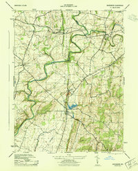
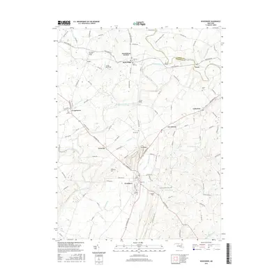
(17)- 1911 Map of Emmitsburg
 1911 Emmitsburg1911 Print · USGSMaryland's northern borderlands and the Catoctin mountains thrived in the early twentieth century as a hub for institutions, railroads, and milling. Genealogists and historians can locate family homes and old crossroads near St Josephs Academy, Sabillasville, and the Western Maryland RR.6 unique versions available
 - 1942 Map of Gettysburg, 1944 Print
 1942 Gettysburg1944 Print · USGSGettysburg and its surrounding borderlands are shown in great detail during the early 1940s, capturing the region's dense network of rural schools and mills. Genealogists can trace family-named landmarks such as Galt Kump PO, Hafers Mill, and Philips Delight Sch.
 - 1943 Map of Emmitsburg
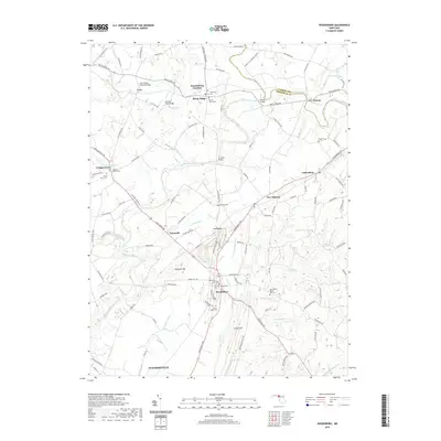
 1943 Emmitsburg1943 Print · USGSMaryland's northern border and the Frederick Valley appear during the early 1940s, where the Catoctin range meets the Monocacy plain. Genealogists can trace family names at Hoovers Mill, locate historic institutions like Mount St Marys College, or follow the Western Maryland RR.4 unique versions available
 - 1944 Map of Woodsboro
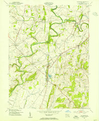
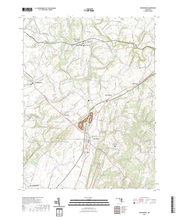
 1944 Woodsboro1944 Print · USGSMaryland's agricultural heartland is documented during the war years, showing the vital rail and river networks of Frederick County. Genealogists can trace family heritage at the Terra Rubra Key Farm or locate old crossings like Stulls Ford and Wiley Mill.2 unique versions available
 - 1948 Map of Baltimore
 1948 Baltimore1948 Print · USGSMaryland and Pennsylvania crossroads are captured in the late 1940s, showing a landscape defined by historic rail lines and major military installations. Genealogists can trace family connections in Gettysburg, Westminster, and near the U.S. Naval Academy in Annapolis.2 unique versions available
 - 1953 Map of Woodsboro, 1955 Print
 1953 Woodsboro1955 Print · USGSMid-century Frederick County, Maryland, is captured here during a time of active rail transport and river-valley farming. Genealogists and researchers can locate family landmarks like Rocky Hill Ch, the Fish Hatchery, and the old rail stop at Rocky Ridge.6 unique versions available
 - 1954 Map of Baltimore
 1954 Baltimore1954 Print · USGSThe Mid-Atlantic region in the early fifties shows a landscape of growing suburban centers and heavy rail corridors. Trace mid-century transit networks and military landmarks from the Aberdeen Proving Ground to the Gettysburg National Military Park.
 - 1956 Map of Baltimore
 1956 Baltimore1956 Print · USGSMid-century Maryland and Pennsylvania are captured here during a period of massive suburban and military growth across the Chesapeake region. Genealogists and historians can trace the rail corridors of the Baltimore & Ohio RR and locate landmarks like Fort McHenry or the Aberdeen Proving Ground.
 - 1957 Map of Baltimore, 1964 Print
 1957 Baltimore1964 Print · USGSMaryland and Southern Pennsylvania are shown during the mid-century expansion of the Baltimore-Washington corridor. Researchers can trace the extensive rail lines of the Baltimore & Ohio RR and locate sites like Fort Detrick and Gettysburg National Military Park.5 unique versions available
 - 1961 Map of Baltimore
 1961 Baltimore1961 Print · USGSMaryland and Pennsylvania are captured at a mid-century peak of industrial and military expansion. Genealogists and historians can trace rail corridors like the Western Maryland Ry or locate regional landmarks such as Camp Detrick and Kent Island.
 - 1983 Map of Hagerstown, 1984 Print
 1983 Hagerstown1984 Print · USGSThe tri-state borderlands of Maryland, Pennsylvania, and West Virginia are shown in the early eighties as a hub of military installations and valley towns. Genealogists and historians can trace the landscape from Gettysburg National Military Park to the banks of the Potomac River.2 unique versions available
 - 1989 Map of Baltimore
 1989 Baltimore1989 Print · USGSThe Mid-Atlantic corridor in the late eighties is captured here, from the Baltimore harbor to the Blue Ridge foothills. Researchers can trace the sprawling footprints of Aberdeen Proving Ground, the historic grounds of Gettysburg National Military Park, and the winding Susquehanna River.
 - 2011 Map of Woodsboro, 2011 Print
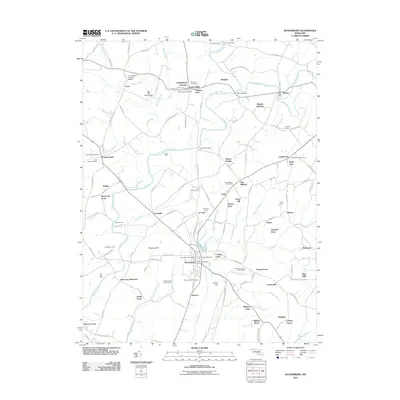 2011 Woodsboro2011 Print · USGSCovers Vicmyer Vista, including Walkersville, Woodsboro, and other nearby areas
 - 2014 Map of Woodsboro, 2014 Print
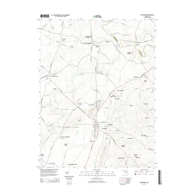 2014 Woodsboro2014 Print · USGSCovers Vicmyer Vista, including Walkersville, Woodsboro, and other nearby areas
 - 2016 Map of Woodsboro, 2016 Print
 2016 Woodsboro2016 Print · USGSCovers Vicmyer Vista, including Walkersville, Woodsboro, and other nearby areas
 - 2019 Map of Woodsboro, 2019 Print
 2019 Woodsboro2019 Print · USGSCovers Vicmyer Vista, including Walkersville, Woodsboro, and other nearby areas
 - 2023 Map of Woodsboro, 2023 Print
 2023 Woodsboro2023 Print · USGSMaryland's Piedmont comes into focus in this recent survey of the settlements along the Monocacy River. Genealogists can trace family landmarks and burial sites across Creagerstown and Woodsboro, including the Harlan Cem and Oak Hill Cem.
End of results
Showing maps 1-17 of 17
Top cities near Vicmyer Vista
- Frederick historical maps
- Linganore historical maps
- Gettysburg historical maps
- Taneytown historical maps
- Thurmont historical maps
- Mount Airy historical maps
See more
Frequently asked questions
- What are the different types of historical maps available for Vicmyer Vista?
- What is the oldest map of Vicmyer Vista?
- Where can I purchase historical maps of Vicmyer Vista for my home or office?
- Where can I download high-res historical maps of Vicmyer Vista?
- Are there historical topographic maps available for Vicmyer Vista?
- Is there historical aerial imagery available for Vicmyer Vista?
- Where are historical maps of Vicmyer Vista sourced from?