2010s Maps of Kent County, Maryland
Explore 71 historic maps of Kent County from the 2010s. These maps offer a rare glimpse into what life looked like during the 2010s — showing old roads, neighborhoods, homes, and landmarks that have changed or disappeared over time.
Whether you're researching your family's past, planning a metal detecting trip, or studying how Kent County's landscape evolved across the 2010s, these high-resolution maps are a powerful tool for exploring the history of this region.
- Focus on a specific era: All maps on this page are from the 2010s, giving you a focused view of this time period.
- See what’s changed: Compare century-old streets, trails, and buildings to today's modern landscape using overlays and satellite layers.
- Research with precision: Use these maps for genealogy, historical research, land use analysis, or educational projects.
- View, download, or print: Maps are fully viewable online in high resolution, and can be downloaded or printed for your own records.
Start exploring Kent County's history through authentic maps from the 2010s. This is your window into the past.
Kent County, MD maps
(71)- 2011 Map of Millington, 2011 Print
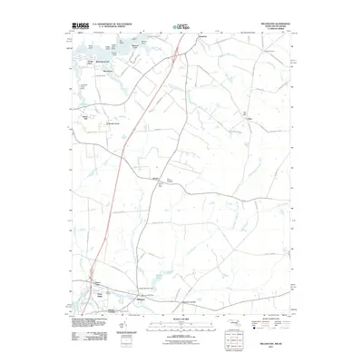 2011 Millington2011 Print · USGSThe Maryland-Delaware border region comes alive in this survey of the upper Eastern Shore countryside. Genealogists and local historians can trace family-named points along the Sassafras River and locate vital records through the Saint Clements Cemetery or the Millington Post Office.
 - 2011 Map of Earleville, 2011 Print
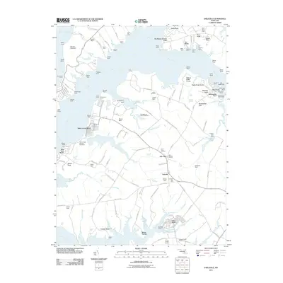 2011 Earleville2011 Print · USGSChesapeake Bay tributaries define this Cecil County landscape at the start of the 2010s, where river necks meet rural farmsteads. Researchers can locate family landmarks like Mount Pleasant Farm, old burial grounds at Saint Stephens Cemetery, and historic landings such as Cassidy Wharf.
 - 2011 Map of Cecilton, 2011 Print
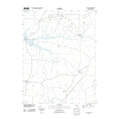 2011 Cecilton2011 Print · USGSThe upper Delmarva Peninsula is captured in this 2011 survey as it continues to balance its maritime heritage with extensive horse farms and rural estates. Genealogists and local historians can trace family-named lands like Winbak Farm or locate old burial grounds at Saint Augustine Cemetery and Ebenezer Cemetery.
 - 2011 Map of Sudlersville, 2011 Print
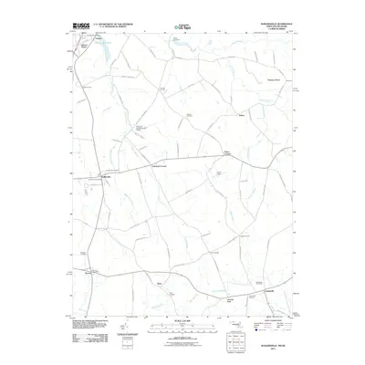 2011 Sudlersville2011 Print · USGSThe northern reaches of Queen Anne’s County appear in clear detail during the early 2010s, focusing on the rural landscape around Sudlersville. Genealogists can trace family connections at Holdens Cemetery or locate civic centers like the Barclay Post Office and Templeville Post Office.
 - 2011 Map of Galena, 2011 Print
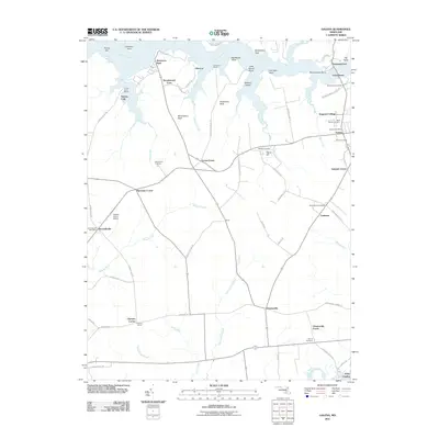 2011 Galena2011 Print · USGSKent County, Maryland, is shown in the early twenty-first century as a landscape of historic riverfront settlements and productive farmland. Genealogists and local historians can trace family roots through several sites including Shrewsbury Cemetery, Kentmore Park, and Fredericktown.
 - 2011 Map of Queenstown, 2011 Print
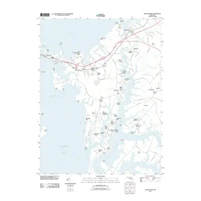 2011 Queenstown2011 Print · USGSMaryland's Eastern Shore reveals its complex tidewater geography in the early twenty-first century, from the Kent Narrows to the branching Wye River. Researchers can trace generational landmarks including Saint Peters Cemetery and the East Prospect Plantation.
 - 2011 Map of Spesutie, 2011 Print
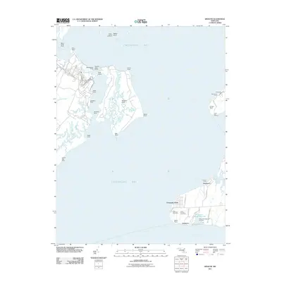 2011 Spesutie2011 Print · USGSCoastal Maryland at the head of the bay is captured here just over a decade ago, showing the intersection of military, recreational, and fishing interests. Trace the shoreline from Spesutie Island to landmarks like Turkey Point Lighthouse and the Snug Harbor Boy Scout Camp.
 - 2011 Map of Gunpowder Neck, 2011 Print
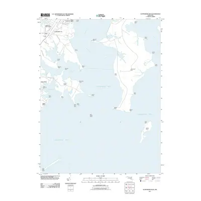 2011 Gunpowder Neck2011 Print · USGSThe Harford County coastline and Chesapeake Bay islands are captured here in the early twenty-first century. Researchers can trace waterfront communities like Oliver Beach or locate maritime landmarks such as Pooles Island Light and Goose Harbor Marina.
 - 2011 Map of Church Hill, 2011 Print
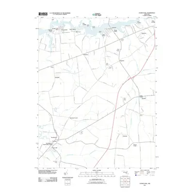 2011 Church Hill2011 Print · USGSMaryland's eastern shore remains a landscape of river landings and rural crossroads in the early twenty-first century. Researchers can trace family sites and community hubs from the Chester River landings to local landmarks like Mount Pleasant Cemetery and Church Hill.
 - 2011 Map of Hanesville, 2011 Print
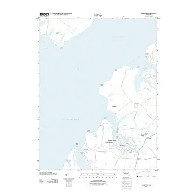 2011 Hanesville2011 Print · USGSKent County's waterfront comes into focus in this recent survey of the Maryland Eastern Shore. Genealogists and local historians can trace family-named sites and landings from Saint James Cemetery and Newtown to the docks at Gales Wharf.
 - 2011 Map of Love Point, 2011 Print
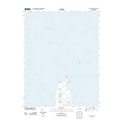 2011 Love Point2011 Print · USGSThe northern tip of Kent Island comes into focus during the early twenty-first century as it sits at the confluence of the bay and river. Researchers can trace local landmarks like the Love Point Lighthouse, Mylanders Airstrip, and Bridge View.
 - 2011 Map of Swan Point, 2011 Print
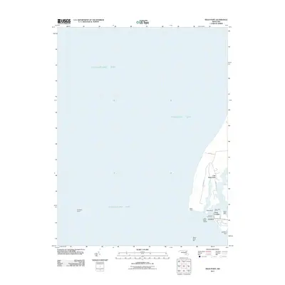 2011 Swan Point2011 Print · USGSThe Eastern Shore's maritime character is on full display here in the early twenty-first century. Genealogists and researchers can trace the waterfront settlements of Gratitude and Deep Landing or locate family lands near Little Neck Farms and Swan Point.
 - 2011 Map of Rock Hall, 2011 Print
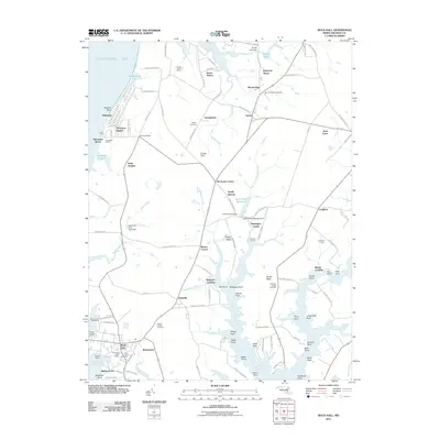 2011 Rock Hall2011 Print · USGSMaryland's Eastern Shore in the early twenty-first century remains a landscape of tidal creeks and deep-rooted agricultural history. Genealogists and historians can trace family locations through numerous sites like Wesley Chapel Cemetery, Caulks Field, and the waterfront at Rock Hall.
 - 2011 Map of Chestertown, 2011 Print
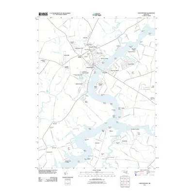 2011 Chestertown2011 Print · USGSThe Eastern Shore town of Chestertown and the Chester River shoreline are shown here in the early twenty-first century. Researchers can trace family history at Bond Chapel Cemetery and Chestertown Cemetery or locate historic river landings like Roundtop Wharf and Newmans Wharf.
 - 2011 Map of Centreville, 2011 Print
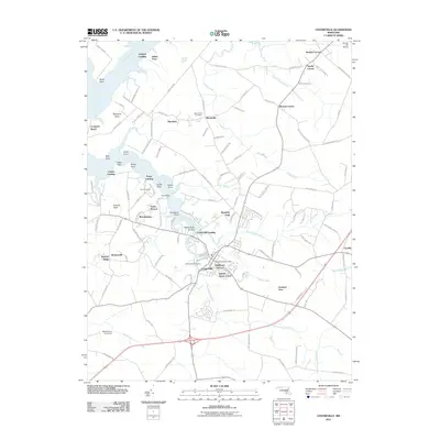 2011 Centreville2011 Print · USGSCentreville and the Corsica River reaches are captured in this early 21st-century survey of the Maryland Eastern Shore. Genealogists and local historians can trace family-named sites and residential growth at Chesterfield Cemetery, Tilghmans Terrace, and Brownsville.
 - 2011 Map of Betterton, 2011 Print
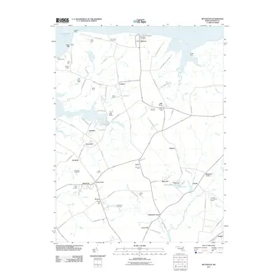 2011 Betterton2011 Print · USGSMaryland's eastern shore near the Sassafras River comes into focus in this early twenty-first-century survey of Kent County. Genealogists and local historians can trace family ties at Still Pond Cemetery or locate old community centers like the Lynch Post Office and Harris Wharf.
 - 2011 Map of Langford Creek, 2011 Print
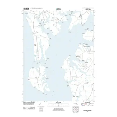 2011 Langford Creek2011 Print · USGSMaryland's Eastern Shore waterfront is captured here in the early twenty-first century, showing a landscape defined by the Chester River and its intricate tidal creeks. Researchers can trace historic farmsteads and landings such as Bulle Rock Farm, Spaniards Landing, and the Gouldtown Cemetery.
 - 2014 Map of Sudlersville, 2014 Print
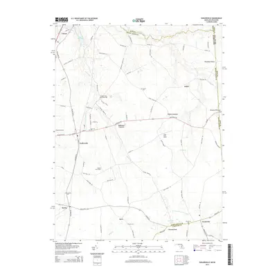 2014 Sudlersville2014 Print · USGSSudlersville and the surrounding farm country of the Delmarva Peninsula are captured in the early 2010s, revealing a landscape of historic crossroads and rural industry. Genealogists and local historians can locate Sudlersville Cem, Unicorn Mill Pond, and the small aviation strips at Taylor Field Airport.
 - 2014 Map of Millington, 2014 Print
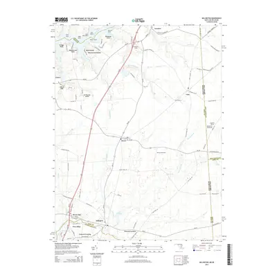 2014 Millington2014 Print · USGSThe Eastern Shore of Maryland and Delaware is recorded here in detail, showcasing the rural landscape at the start of the 2010s. Trace local history through the streets of Millington and Galena, or locate family sites at Saint Clements Cem and Peacock Corners.
 - 2014 Map of Galena, 2014 Print
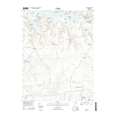 2014 Galena2014 Print · USGSThe northern reaches of Kent County are shown here in the early twenty-first century, bounded by the Sassafras River and Chester River. Genealogists can locate numerous burial sites across the landscape, including Shrewsbury Cem, Wesley Cem, and Olivet Cem.
 - 2014 Map of Church Hill, 2014 Print
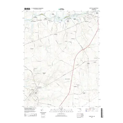 2014 Church Hill2014 Print · USGSQueen Anne's County is captured here in the early twenty-first century as a landscape of riverfront landings and crossroads settlements. Researchers can trace family history through local sites like Church Hill, Pondtown, and cemeteries such as Bethel Cem.
 - 2014 Map of Cecilton, 2014 Print
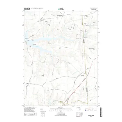 2014 Cecilton2014 Print · USGSThe northern Delmarva Peninsula is captured here in the early twenty-first century as it straddles the Maryland-Delaware border. Researchers can trace historic family names and locations from Saint Augustine Cem to the waterfront points along the Bohemia River.
 - 2014 Map of Earleville, 2014 Print
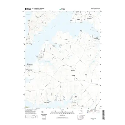 2014 Earleville2014 Print · USGSThe northern reaches of the Sassafras River come into focus in the 2010s, showcasing the intersection of historic landings and modern coastal communities. Researchers can trace family roots through Veazey Cem or locate old sites like Mount Harmon and Cassidy Wharf.
 - 2014 Map of Betterton, 2014 Print
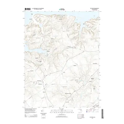 2014 Betterton2014 Print · USGSCoastal Kent County was a landscape of tide-water coves and agricultural hubs during the early 2010s. Genealogists and local historians can trace family locations near Still Pond, Worton, and the historic Christ Cem.
 - 2014 Map of Centreville, 2014 Print
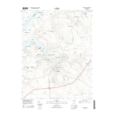 2014 Centreville2014 Print · USGSCentreville and the surrounding Queen Anne's County countryside are documented here during a period of steady growth and coastal preservation. Researchers can trace family sites near Burrisville, locate Chesterfield Cem, or explore the maritime reaches of the Corsica River and Indian Town.
Showing maps 1-25 of 71
Top cities of Kent County
Frequently asked questions
- What are the different types of historical maps available for Kent County?
- What is the oldest map of Kent County?
- Where can I purchase historical maps of Kent County for my home or office?
- Where can I download high-res historical maps of Kent County?
- Are there historical topographic maps available for Kent County?
- Is there historical aerial imagery available for Kent County?
- Where are historical maps of Kent County sourced from?