Old Maps of Rock Hall, Maryland for Academic Research
Study the evolution of Rock Hall with 31 high-resolution historic maps. Whether you're teaching, researching, or modeling changes in land use, these maps provide essential visual documentation of urban, environmental, and geographic change.
- Analyze long-term change: Track patterns in development, transportation, and natural features.
- Ideal for environmental or urban studies: Support academic projects with primary historical map data.
- Use in the classroom or lab: Educators and researchers rely on these maps to bring historical context to life.
These maps are a powerful tool for teaching, research, and visualizing how Rock Hall has changed over the decades.
Rock Hall, MD maps
(31)- 1893 Map of North Point
 1893 North Point1893 Print · USGSMaryland's maritime heart is captured here in the late nineteenth century, showing the industrial rise of Steelton and the rural reaches of Anne Arundel. Researchers can trace old landings and light stations like Wilson Wharf, Sandy Pt. Light, and the settlement at Jacob Store.3 unique versions available
 - 1898 Map of Tolchester
 1898 Tolchester1898 Print · USGSThe upper Chesapeake Bay and its tidal tributaries are shown in the late 1890s, when steamships and railroads still dominated regional commerce. Trace the landings and rail stops that fueled the bay economy, from Buck Neck Landing to Stillpond Sta. and the historic Harford Furnace.
 - 1901 Map of Chestertown
 1901 Chestertown1901 Print · USGSThe Eastern Shore of Maryland comes alive in this turn-of-the-century survey of the Chester River and its surrounding necks. Genealogists and historians can trace the early rail lines and numerous river landings like Spaniards Landing, Tolchester Beach, and Leary's Mill Whf.4 unique versions available
 - 1903 Map of Tolchester
 1903 Tolchester1903 Print · USGSThe upper Chesapeake Bay at the turn of the century shows a bustling maritime landscape where steamship wharves and major rail lines met. Researchers can trace defunct stops like Baldwin Sta. and Clayton Sta. or locate historic landings such as Rockhall Landing and Quaker Wharf.
 - 1904 Map of North Point
 1904 North Point1904 Print · USGSChesapeake Bay maritime life at the turn of the century is captured here, from industrial waterfronts to rural landings. Genealogists can trace family landmarks and ferry points like Love Point Landing, Sparrow Point, and Skidmore.5 unique versions available
 - 1908 Map of Tolchester
 1908 Tolchester1908 Print · USGSChesapeake Bay life at the turn of the century centered on a complex network of tidewater landings and strategic railroad lines. Researchers can trace historic family settlements and maritime landmarks like Fort Howard, Harford Furnace, and the Sevenfoot Knoll LH.4 unique versions available
 - 1920 Map of Chestertown
 1920 Chestertown1920 Print · USGSThe Eastern Shore of Maryland in the early twentieth century reveals a world of steamships and shoreline industry. Trace old family landings and rail stops like Learys Mill Whf, Centerville Ldg, and the Maryland and Delaware RR.
 - 1942 Map of Swan Point
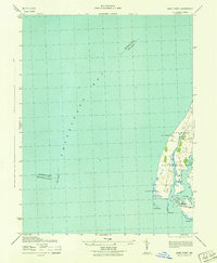 1942 Swan Point1942 Print · USGSKent County's shoreline and the waters of the Chesapeake are captured here in the early 1940s. Genealogists and maritime historians can trace the settlements of Gratitude and Edesville No 5 alongside landmarks like Swan Point and The Haven.
 - 1943 Map of Rock Hall
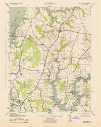 1943 Rock Hall1943 Print · USGSChesapeake Bay maritime life is captured here during the early 1940s, from the bustling docks of Rock Hall to the summer crowds at Tolchester Beach. Genealogists can trace family roots through rural landmarks like Asbury Church, Wesley Chapel, and the small settlement of Edesville.
 - 1943 Map of North Point
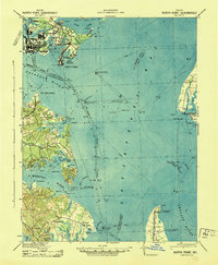 1943 North Point1943 Print · USGSThe Chesapeake Bay's maritime approaches are captured here during the 1940s, highlighting the industrial strength of Sparrows Point and the coastal defenses at Fort Howard. Researchers can trace the rail connections at Love Point Landing or explore the mid-century waterfronts of Gibson Island and Bay Shore.
 - 1947 Map of North Point, 1955 Print
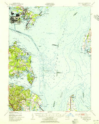 1947 North Point1955 Print · USGSCoastal Maryland at the close of the 1940s reveals a sharp contrast between the industrial might of Sparrows Point and the quiet summer communities of the western shore. Trace maritime history through dredging records and landmarks like Fort Howard, Gibson Island, and Sevenfoot Knoll Light.
 - 1948 Map of Baltimore
 1948 Baltimore1948 Print · USGSMaryland and Pennsylvania crossroads are captured in the late 1940s, showing a landscape defined by historic rail lines and major military installations. Genealogists can trace family connections in Gettysburg, Westminster, and near the U.S. Naval Academy in Annapolis.2 unique versions available
 - 1951 Map of Chestertown
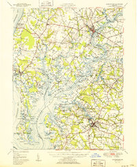 1951 Chestertown1951 Print · USGSThe Chesapeake Bay shoreline and Chester River necks appear in high detail during the early fifties. Genealogists and historians can trace family locations through numerous country landmarks like Wesley Chapel Cem, Starkey Corner, and Tolchester Beach.2 unique versions available
 - 1953 Map of Rock Hall, 1955 Print
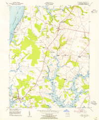 1953 Rock Hall1955 Print · USGSMaryland's Eastern Shore in the mid-fifties is captured here, showing the waterfront communities and landings of Kent County. Genealogists can trace early landmarks and burial sites like Wesley Chapel Cem, Tolchester Beach, and the settlement at Fairlee.3 unique versions available
 - 1953 Map of Swan Point, 1955 Print
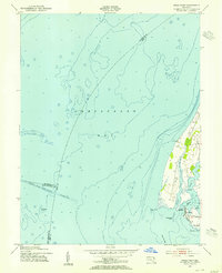 1953 Swan Point1955 Print · USGSThe Kent County shoreline and Chesapeake Bay waters are captured here in the early fifties, documenting the Eastern Shore's maritime character. Trace local history through detailed landings and waterfront settlements like Rock Hall, Gratitude, and Deep Landing.2 unique versions available
 - 1954 Map of Baltimore
 1954 Baltimore1954 Print · USGSThe Mid-Atlantic region in the early fifties shows a landscape of growing suburban centers and heavy rail corridors. Trace mid-century transit networks and military landmarks from the Aberdeen Proving Ground to the Gettysburg National Military Park.
 - 1956 Map of Baltimore
 1956 Baltimore1956 Print · USGSMid-century Maryland and Pennsylvania are captured here during a period of massive suburban and military growth across the Chesapeake region. Genealogists and historians can trace the rail corridors of the Baltimore & Ohio RR and locate landmarks like Fort McHenry or the Aberdeen Proving Ground.
 - 1957 Map of Baltimore, 1964 Print
 1957 Baltimore1964 Print · USGSMaryland and Southern Pennsylvania are shown during the mid-century expansion of the Baltimore-Washington corridor. Researchers can trace the extensive rail lines of the Baltimore & Ohio RR and locate sites like Fort Detrick and Gettysburg National Military Park.5 unique versions available
 - 1961 Map of Baltimore
 1961 Baltimore1961 Print · USGSMaryland and Pennsylvania are captured at a mid-century peak of industrial and military expansion. Genealogists and historians can trace rail corridors like the Western Maryland Ry or locate regional landmarks such as Camp Detrick and Kent Island.
 - 1984 Map of Baltimore
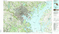 1984 Baltimore1984 Print · USGSThe Baltimore and Annapolis corridor in the mid-eighties shows a landscape of rapid suburban growth and deep-seated maritime history. Researchers can trace the massive footprints of the U S Naval Academy, Fort George G Meade, and Goddard Space Flight Ctr.
 - 1989 Map of Baltimore
 1989 Baltimore1989 Print · USGSThe Mid-Atlantic corridor in the late eighties is captured here, from the Baltimore harbor to the Blue Ridge foothills. Researchers can trace the sprawling footprints of Aberdeen Proving Ground, the historic grounds of Gettysburg National Military Park, and the winding Susquehanna River.
 - 2011 Map of Swan Point, 2011 Print
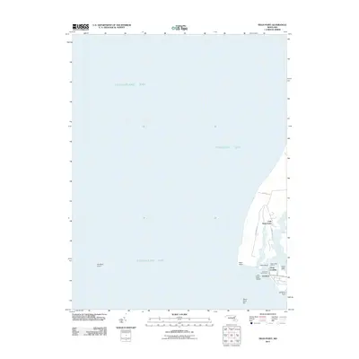 2011 Swan Point2011 Print · USGSThe Eastern Shore's maritime character is on full display here in the early twenty-first century. Genealogists and researchers can trace the waterfront settlements of Gratitude and Deep Landing or locate family lands near Little Neck Farms and Swan Point.
 - 2011 Map of Rock Hall, 2011 Print
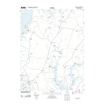 2011 Rock Hall2011 Print · USGSMaryland's Eastern Shore in the early twenty-first century remains a landscape of tidal creeks and deep-rooted agricultural history. Genealogists and historians can trace family locations through numerous sites like Wesley Chapel Cemetery, Caulks Field, and the waterfront at Rock Hall.
 - 2014 Map of Rock Hall, 2014 Print
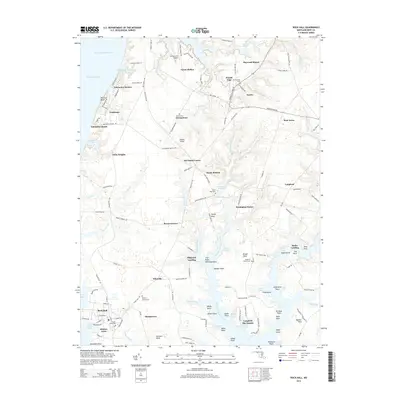 2014 Rock Hall2014 Print · USGSThe Kent County coast comes to life in this survey of the Chesapeake shoreline and its tidal estuaries. Researchers can trace family history through several burial sites including Wesley Chapel Cem or locate old water-access points like Shipyard Landing and Becks Landing.
 - 2014 Map of Swan Point, 2014 Print
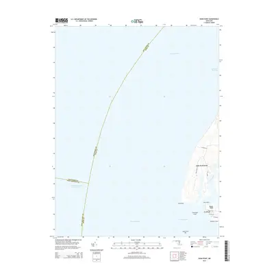 2014 Swan Point2014 Print · USGSThe eastern shore of the Chesapeake Bay near Rock Hall is documented here in the early twenty-first century. Researchers can trace local landmarks like Little Neck Farms, Gratitude, and the coastal features of Swan Point.
Showing maps 1-25 of 31
Top cities near Rock Hall
- Annapolis historical maps
- Middle River historical maps
- Cape Saint Claire historical maps
- Stevensville historical maps
- Chestertown historical maps
- Centreville historical maps
See more
Top neighborhoods of Rock Hall
Frequently asked questions
- What are the different types of historical maps available for Rock Hall?
- What is the oldest map of Rock Hall?
- Where can I purchase historical maps of Rock Hall for my home or office?
- Where can I download high-res historical maps of Rock Hall?
- Are there historical topographic maps available for Rock Hall?
- Is there historical aerial imagery available for Rock Hall?
- Where are historical maps of Rock Hall sourced from?