1940s Maps of Montgomery County, Maryland
Explore 27 historic maps of Montgomery County from the 1940s. These maps offer a rare glimpse into what life looked like during the 1940s — showing old roads, neighborhoods, homes, and landmarks that have changed or disappeared over time.
Whether you're researching your family's past, planning a metal detecting trip, or studying how Montgomery County's landscape evolved across the 1940s, these high-resolution maps are a powerful tool for exploring the history of this region.
- Focus on a specific era: All maps on this page are from the 1940s, giving you a focused view of this time period.
- See what’s changed: Compare century-old streets, trails, and buildings to today's modern landscape using overlays and satellite layers.
- Research with precision: Use these maps for genealogy, historical research, land use analysis, or educational projects.
- View, download, or print: Maps are fully viewable online in high resolution, and can be downloaded or printed for your own records.
Start exploring Montgomery County's history through authentic maps from the 1940s. This is your window into the past.
Montgomery County, MD maps
(27)- 1942 Map of Laurel
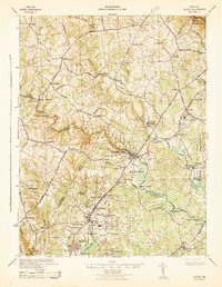 1942 Laurel1942 Print · USGSMaryland's corridor between Baltimore and Washington is seen here in the early 1940s as a land of rural schoolhouses and riverside mills. Researchers can trace family sites near Muirkirk, find the original Christian Brothers College, or locate historic river crossings like Brock Bridge and Duvall Bridge.
 - 1942 Map of Frederick
 1942 Frederick1942 Print · USGSMid-century Maryland's central corridor is centered on Frederick as it appeared before the modern interstate system. Researchers can trace the routes of the B & O Canal, locate the Montevue Almshouse, and see the intersection of the Northern Central RR with early turnpikes.
 - 1944 Map of Waterford
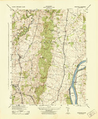 1944 Waterford1944 Print · USGSLoudoun County is shown in the mid-1940s as a landscape of rural villages and river commerce along the Maryland border. Researchers can trace the Washington and Old Dominion rail line and find landmarks like the Balls Bluff National Cemetery and Loyalty Store.
 - 1944 Map of Germantown
 1944 Germantown1944 Print · USGSUpper Montgomery County appears as a collection of rural crossroads and rail stops during the mid-forties. Genealogists and local historians can trace family locations near Old Germantown, Bucklodge Sta, and historic sites like Cloppers Mill.
 - 1944 Map of Poolesville
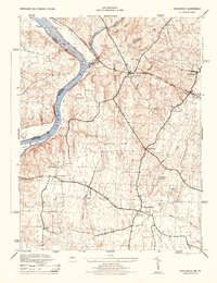 1944 Poolesville1944 Print · USGSMaryland's agricultural heartland and the Potomac riverfront are detailed here during the mid-1940s, just as the rural landscape began its modern shift. Researchers can trace the path of the Chesapeake and Ohio Canal and locate old crossroads at Beallsville, Poolesville, and Jerusalem.2 unique versions available
 - 1944 Map of Leesburg
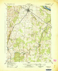 1944 Leesburg1944 Print · USGSLoudoun County, Virginia, is captured in the mid-1940s as a landscape of crossroads, mills, and riverside farms. Genealogists and historians can trace old homesteads and landmarks like Oatlands, the Prison Labor Camp No 2, and the C & O Canal (Abandoned).
 - 1944 Map of Fairfax
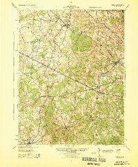 1944 Fairfax1944 Print · USGSNorthern Virginia at the height of the Second World War remains a landscape of rail-connected villages and rural schools. Genealogists and historians can trace family locations through landmarks like Oak Grove Store, Bear School, and the historic Washington and Old Dominion RR.
 - 1944 Map of Buckeystown
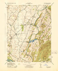 1944 Buckeystown1944 Print · USGSMid-century Frederick County comes alive through its rail-side hamlets and riverside mills during the 1940s. Genealogists and historians can trace the foundations of Buckeystown, locate the Buckingham School Orphanage, and follow the Baltimore and Ohio tracks through Adamstown.
 - 1944 Map of Urbana
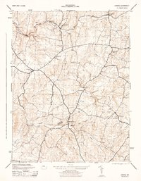 1944 Urbana1944 Print · USGSAs World War II drew to a close, the rolling Piedmont between Frederick and Montgomery counties remained a landscape of rail-side villages and small milling communities. Trace the legacy of rural life through the Baltimore and Ohio corridor at Ijamsville, the local Grist Mill near Hyattstown, and the old cemeteries of Lewisdale.2 unique versions available
 - 1944 Map of Clarksville
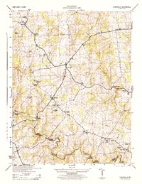 1944 Clarksville1944 Print · USGSHoward County's agricultural heartland is documented here in the mid-1940s, showing the early crossroads and river crossings of the Maryland interior. Genealogists can locate family landmarks like Atholton Church, the Dayton School, and several rural cemeteries near Clarksville.
 - 1944 Map of Seneca
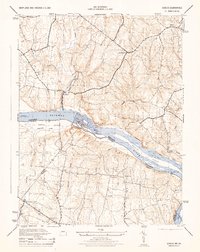 1944 Seneca1944 Print · USGSThe Potomac River valley and the Maryland-Virginia border are captured here during the mid-forties. Local historians can trace the Chesapeake and Ohio Canal and locate old crossroads like Darnestown, Quince Orchard, and Dranesville.2 unique versions available
 - 1944 Map of Rockville, 1955 Print
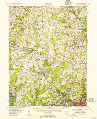 1944 Rockville1955 Print · USGSCentral Montgomery County is captured here in the mid-1940s as rural agriculture begins to meet suburban growth along the Baltimore and Ohio RR. Genealogists can locate family names at Beall Cem or trace rural settlements like Quince Orchard and Sunshine.
 - 1944 Map of Damascus, 1962 Print
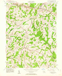 1944 Damascus1962 Print · USGSMid-century Montgomery County and its neighbors retain their rural character in this detailed survey of the Piedmont. Genealogists and local historians can trace the early road network connecting Damascus to outlying hamlets like Claggettsville, Kemptown, and Etchison.5 unique versions available
 - 1944 Map of Seneca, 1963 Print
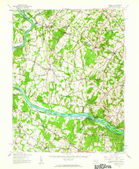 1944 Seneca1963 Print · USGSUpper Montgomery County and the Potomac River valley are captured here just before the expansion of the D.C. suburbs. Researchers can trace the legacy of river commerce and rail travel through the Chesapeake and Ohio Canal, the Monocacy Aqueduct, and the Baltimore and Ohio RR line.
 - 1945 Map of Beltsville
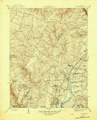 1945 Beltsville1945 Print · USGSThe northern Maryland suburbs show a mix of institutional grounds and rail-side settlements in the mid-forties. Researchers can trace the early footprints of Greenbelt, locate the Briarley Military Academy, and follow the Baltimore and Ohio Railroad through Ammendale and Muirkirk.3 unique versions available
 - 1945 Map of Kensington
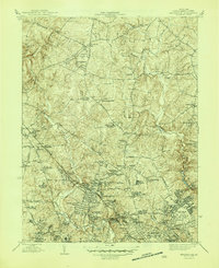 1945 Kensington1945 Print · USGSMontgomery County was transitioning from rural farmlands to a hub of federal and residential development during the mid-forties. Genealogists and local historians can trace family-named sites like Beall Cem and early landmarks including St Marys Cem and the Naval Medical Center.3 unique versions available
 - 1945 Map of Rockville
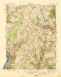 1945 Rockville1945 Print · USGSMontgomery County in the mid-1940s reveals a landscape of growing towns and riverfront heritage. Genealogists and historians can trace the foundations of Rockville, the operations at Congressional Airport, and the quiet reaches of the Chesapeake and Ohio Canal (Abandoned).2 unique versions available
 - 1945 Map of Washington West
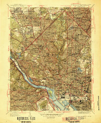 1945 Washington West1945 Print · USGSThe District of Columbia and its surrounding suburbs appear in detail during the mid-forties, capturing the city's growth and its transition to a modern capital. Researchers can trace historic neighborhoods from Tenleytown to Rosslyn and locate landmarks like the Tomb of Unknown Soldier and Rock Creek Cem.
 - 1945 Map of Washington East
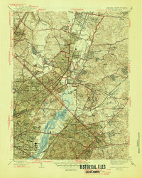 1945 Washington East1945 Print · USGSThe eastern suburbs and District neighborhoods show a landscape of rapid mid-century growth along the Anacostia River and rail lines. Researchers can trace historic sites like Riggs Mill, the early aviation grounds of College Park Airport, and dozens of local schools including Taft Jr High Sch.
 - 1945 Map of Falls Church
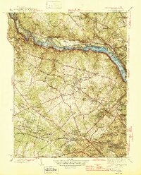 1945 Falls Church1945 Print · USGSFairfax County and the Potomac River corridor are captured during a period of transition in the mid-1940s. Genealogists and local historians can trace the early footprints of Tysons Crossroads, the route of the Washington and Old Dominion Railroad, and landmarks like Fort Marcy.2 unique versions available
 - 1945 Map of Mount Airy, 1955 Print
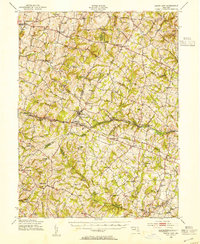 1945 Mount Airy1955 Print · USGSMid-century central Maryland is captured here as a landscape of rural villages and crossroads just before post-war expansion. Genealogists and historians can trace family locations through Mount Airy, Libertytown, and Damascus, or follow the Baltimore and Ohio rail line.2 unique versions available
 - 1945 Map of Sandy Spring, 1959 Print
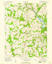 1945 Sandy Spring1959 Print · USGSMaryland's rolling hills north of Washington D.C. are captured here just after the war, showing a landscape of small crossroads and new reservoirs. Trace the development of communities like Olney, Sandy Spring, and Brookeville near the sprawling Triadelphia Reservoir.5 unique versions available
 - 1945 Map of Gaithersburg, 1960 Print
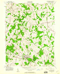 1945 Gaithersburg1960 Print · USGSUpper Montgomery County is captured here at the end of the Second World War, showing the rural character of the region before the post-war building boom. Researchers can trace the early footprints of Washington Grove and Gaithersburg or locate smaller historical communities like Prathertown, Emory Grove, and Laytonsville.4 unique versions available
 - 1945 Map of Woodbine, 1963 Print
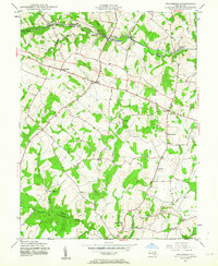 1945 Woodbine1963 Print · USGSMid-century Howard County is documented here during the final years of the second World War, showing a landscape defined by small mills and crossroads. Researchers can trace the Baltimore and Ohio rail corridor and find local landmarks like Mt Gregory Sch, Carrs Mill, and Poplar Springs.6 unique versions available
 - 1948 Map of Baltimore
 1948 Baltimore1948 Print · USGSMaryland and Pennsylvania crossroads are captured in the late 1940s, showing a landscape defined by historic rail lines and major military installations. Genealogists can trace family connections in Gettysburg, Westminster, and near the U.S. Naval Academy in Annapolis.2 unique versions available
Showing maps 1-25 of 27
Top cities of Montgomery County
- Germantown historical maps
- Silver Spring historical maps
- Gaithersburg historical maps
- Bethesda historical maps
- Rockville historical maps
- Wheaton historical maps
See more
Frequently asked questions
- What are the different types of historical maps available for Montgomery County?
- What is the oldest map of Montgomery County?
- Where can I purchase historical maps of Montgomery County for my home or office?
- Where can I download high-res historical maps of Montgomery County?
- Are there historical topographic maps available for Montgomery County?
- Is there historical aerial imagery available for Montgomery County?
- Where are historical maps of Montgomery County sourced from?