1950s Maps of Montgomery County, Maryland
Explore 33 historic maps of Montgomery County from the 1950s. These maps offer a rare glimpse into what life looked like during the 1950s — showing old roads, neighborhoods, homes, and landmarks that have changed or disappeared over time.
Whether you're researching your family's past, planning a metal detecting trip, or studying how Montgomery County's landscape evolved across the 1950s, these high-resolution maps are a powerful tool for exploring the history of this region.
- Focus on a specific era: All maps on this page are from the 1950s, giving you a focused view of this time period.
- See what’s changed: Compare century-old streets, trails, and buildings to today's modern landscape using overlays and satellite layers.
- Research with precision: Use these maps for genealogy, historical research, land use analysis, or educational projects.
- View, download, or print: Maps are fully viewable online in high resolution, and can be downloaded or printed for your own records.
Start exploring Montgomery County's history through authentic maps from the 1950s. This is your window into the past.
Montgomery County, MD maps
(33)- 1950 Map of Sandy Spring
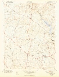 1950 Sandy Spring1950 Print · USGSMid-century Montgomery County is captured here just as the rural crossroads began to evolve into modern suburbs. Genealogists and local historians can trace family locations near Brookeville, Olney, and Sherwood High Sch.2 unique versions available
 - 1950 Map of Damascus
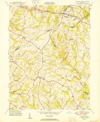 1950 Damascus1950 Print · USGSMid-century Maryland rural life is captured here at the intersection of four counties as agricultural communities thrived. Genealogists can trace family lands near Damascus or locate early settlements like Bartholows and Browningsville along the Baltimore and Ohio RR.2 unique versions available
 - 1950 Map of Woodbine
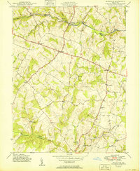 1950 Woodbine1950 Print · USGSMid-century Howard County remains a landscape of independent milling hubs and quiet crossroads hamlets. Trace the heritage of family operations like Hipsleys Mill and Roxbury Mills, or locate early rural school sites such as Mt Gregory Sch.2 unique versions available
 - 1950 Map of Gaithersburg
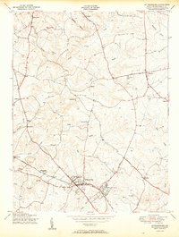 1950 Gaithersburg1950 Print · USGSMontgomery County was a landscape of small crossroads and rail-side villages mid-century, before the post-war building boom. Genealogists and local historians can trace the foundations of Gaithersburg and Washington Grove or locate the Brookgrove Sch and St Marys Home.2 unique versions available
 - 1951 Map of Washington East
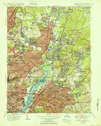 1951 Washington East1951 Print · USGSThe Maryland and District of Columbia borderlands are caught in a period of intense post-war development. Local historians can trace the foundations of the University of Maryland, find the Franciscan Monastery, and locate vanished landmarks like Riggs Mill.
 - 1951 Map of Clarksville
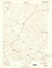 1951 Clarksville1951 Print · USGSHoward County just after the war was a land of rural crossroads and river valleys. Genealogists and local historians can trace family ties through Linthicum Cemetery, Atholton High School, and the scattered Ruins along the Patuxent River.2 unique versions available
 - 1951 Map of Washington West
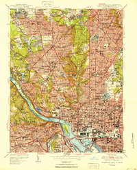 1951 Washington West1951 Print · USGSWashington D.C. and its Maryland and Virginia suburbs appear here in the early fifties, just as the metropolitan area was beginning its massive post-war growth. Researchers can locate vanished streetscapes and institutional landmarks like the U S Soldiers Home, Glenwood Cem, and the historic Washington Cathedral.
 - 1951 Map of Rockville
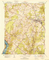 1951 Rockville1951 Print · USGSMontgomery County was in the midst of a postwar transition during the early fifties, balancing its rural roots with new suburban growth. Genealogists and historians can trace family landmarks like Scotland Sch, the Congressional Airport, and the Bells Mill site.2 unique versions available
 - 1951 Map of Falls Church
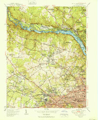 1951 Falls Church1951 Print · USGSFairfax and Montgomery counties during the post-war era reveal a mix of traditional crossroads and rapid suburban growth along the Potomac River. Genealogists and historians can trace the Washington and Old Dominion Railroad corridor and locate landmarks like Swinks Mill and Oakwood Cem.
 - 1951 Map of Kensington
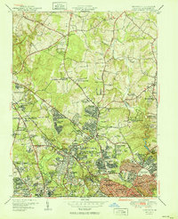 1951 Kensington1951 Print · USGSMontgomery County was transforming into a vital suburban and federal hub in the early fifties. Local historians can trace the growth of Wheaton and Kensington alongside institutions like the Naval Medical Center and Beall Cem.2 unique versions available
 - 1951 Map of Beltsville
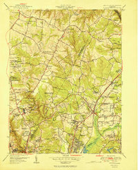 1951 Beltsville1951 Print · USGSMaryland's interior research corridor is captured here at mid-century, showcasing the early growth of Prince George's and Montgomery counties. Genealogists and historians can trace family locations near Union Cem, Colesville Sch, and the grounds of the Naval Ordnance Laboratory.2 unique versions available
 - 1951 Map of Vienna, 1952 Print
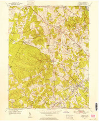 1951 Vienna1952 Print · USGSFairfax County was transitioning from a rural landscape to a suburban hub in the early fifties. Genealogists and historians can trace family-named landmarks and early neighborhoods like Vienna Woods, Clarks Crossing, and Browns Chapel Cem.
 - 1952 Map of Waterford
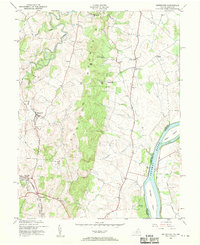 1952 Waterford1952 Print · USGSLoudoun County is shown in the early fifties as a rural landscape defined by the ridgeline of Catoctin Mountain and the Potomac. Researchers can trace the path of the Washington and Old Dominion railroad or locate local sites like Balls Bluff National Cem and Paeonian Springs.3 unique versions available
 - 1952 Map of Buckeystown, 1953 Print
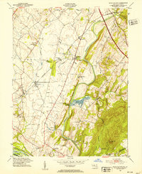 1952 Buckeystown1953 Print · USGSFrederick County in the early fifties remains a landscape of rail-fed villages and river bottom industry. Genealogists and local historians can trace the foundations of Carrollton Manor, find the Brick Kilns at Lime Kiln, or locate Michaels Mill along the Monocacy.8 unique versions available
 - 1952 Map of Sterling, 1954 Print
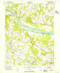 1952 Sterling1954 Print · USGSLoudoun County, Virginia, and the Maryland riverfront are captured here in the early 1950s. Genealogists and rail historians can trace the Washington and Old Dominion line through Ashburn and locate landmarks like St Pauls Ch and Nokes Sch.3 unique versions available
 - 1952 Map of Seneca, 1954 Print
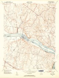 1952 Seneca1954 Print · USGSMaryland and Virginia borderlands met at the Potomac during the early fifties, before suburban expansion transformed these rural reaches. Researchers can trace the path of the Chesapeake and Ohio Canal and locate historic points like Darnestown and the Forestville Sch.4 unique versions available
 - 1952 Map of Poolesville, 1954 Print
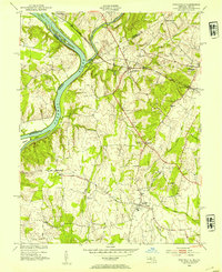 1952 Poolesville1954 Print · USGSMontgomery County was still primarily a landscape of rail-stops and river-crossings in the early fifties. Local historians can trace the intersection of the Baltimore and Ohio railroad with rural life at Dickerson and Barnesville.3 unique versions available
 - 1952 Map of Leesburg, 1960 Print
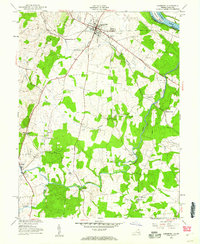 1952 Leesburg1960 Print · USGSLoudoun County is shown in the early fifties as a rural landscape centered on the crossroads of the Washington and Old Dominion rail line. Genealogists can trace local landmarks like Oatlands, find country schools such as Douglas Sch, and locate old river crossings including Murrays Ford Bridge.
 - 1953 Map of Germantown, 1954 Print
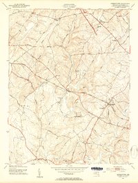 1953 Germantown1954 Print · USGSUpper Montgomery County thrives as a network of rail-side villages and farming crossroads in the early fifties. Genealogists and local historians can trace family locations near Boyds, Old Germantown, and rural landmarks like St Marks Ch or Taylor Sch.6 unique versions available
 - 1953 Map of Urbana, 1954 Print
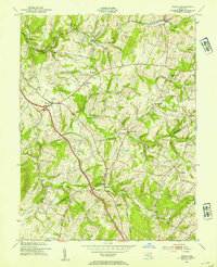 1953 Urbana1954 Print · USGSMid-century Frederick and Montgomery Counties are captured here just as the modern highway begins to bypass rural crossroads. Genealogists and local historians can trace the foundations of Urbana and Monrovia or locate the German Brethren Ch and Ebenezer Sch.6 unique versions available
 - 1954 Map of Baltimore
 1954 Baltimore1954 Print · USGSThe Mid-Atlantic region in the early fifties shows a landscape of growing suburban centers and heavy rail corridors. Trace mid-century transit networks and military landmarks from the Aberdeen Proving Ground to the Gettysburg National Military Park.
 - 1956 Map of Baltimore
 1956 Baltimore1956 Print · USGSMid-century Maryland and Pennsylvania are captured here during a period of massive suburban and military growth across the Chesapeake region. Genealogists and historians can trace the rail corridors of the Baltimore & Ohio RR and locate landmarks like Fort McHenry or the Aberdeen Proving Ground.
 - 1956 Map of Falls Church, 1958 Print
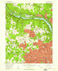 1956 Falls Church1958 Print · USGSNorthern Virginia and suburban Maryland are captured in the mid-fifties, showing the region as postwar residential growth began to surge. Researchers can trace the path of the Washington and Old Dominion RR and find historic local sites like Swinks Mill, Odricks Corner, and the Chesapeake and Ohio Canal.2 unique versions available
 - 1956 Map of Washington West, 1958 Print
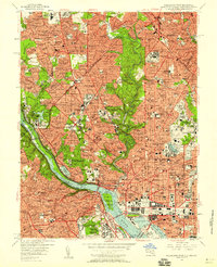 1956 Washington West1958 Print · USGSMid-century Washington and its Maryland and Virginia suburbs appear here during a transformative era of growth. Genealogists and historians can trace neighborhood development and find landmarks like Arlington National Cemetery, the U S Capitol, and Georgetown University.
 - 1956 Map of Rockville, 1958 Print
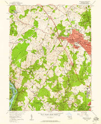 1956 Rockville1958 Print · USGSMid-century Rockville and the surrounding Maryland countryside are captured here during a period of rapid suburbanization and civic growth. Genealogists and local researchers can trace family landmarks and schools including Lincoln Jr High Sch, the historic Scotland community, and the Congressional Airport.2 unique versions available
Showing maps 1-25 of 33
Top cities of Montgomery County
- Germantown historical maps
- Silver Spring historical maps
- Gaithersburg historical maps
- Bethesda historical maps
- Rockville historical maps
- Wheaton historical maps
See more
Frequently asked questions
- What are the different types of historical maps available for Montgomery County?
- What is the oldest map of Montgomery County?
- Where can I purchase historical maps of Montgomery County for my home or office?
- Where can I download high-res historical maps of Montgomery County?
- Are there historical topographic maps available for Montgomery County?
- Is there historical aerial imagery available for Montgomery County?
- Where are historical maps of Montgomery County sourced from?