Old Maps of Mount Airy, Maryland for Hiking & Exploration
Hike through history with 34 historic maps of Mount Airy. Explore old trails, ghost towns, and forgotten backroads — perfect for outdoor adventurers and local explorers.
- Rediscover forgotten places: Map out old mining camps, roads, and footpaths that no longer exist on modern maps.
- Layer with modern tools: Combine with LiDAR or satellite views to plan hikes through historical terrain.
- Made for exploration: Popular among hikers, overlanders, and local history lovers.
Use these maps to find adventure and explore the hidden past of Mount Airy.
Mount Airy, MD maps
(34)- 1893 Map of Frederick
 1893 Frederick1893 Print · USGSMaryland's Piedmont region at the end of the nineteenth century reveals a landscape defined by the Potomac River and the rise of rail transit. Researchers can trace the path of the Chesapeake and Ohio Canal or locate local hubs like Poolesville and Buckeystown.
 - 1894 Map of Frederick
 1894 Frederick1894 Print · USGSMaryland's Piedmont region in the late nineteenth century was a complex network of river crossings and railway junctions. Researchers can trace the path of the Baltimore & Ohio R. R. past Sugar Loaf Mtn. and locate historic river sites like Nolands Ferry.5 unique versions available
 - 1909 Map of Mount Airy
 1909 Mount Airy1909 Print · USGSCentral Maryland's Piedmont region is captured here during the height of the steam-rail era, centered on the strategic crossing at Mount Airy. Genealogists and historians can trace old property locations near Shipleys Mill, the winding Gary Turnpike, and rural settlements like Winfield and Libertytown.7 unique versions available
 - 1944 Map of Damascus, 1962 Print
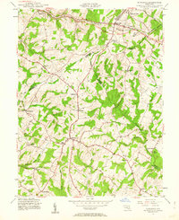 1944 Damascus1962 Print · USGSMid-century Montgomery County and its neighbors retain their rural character in this detailed survey of the Piedmont. Genealogists and local historians can trace the early road network connecting Damascus to outlying hamlets like Claggettsville, Kemptown, and Etchison.5 unique versions available
 - 1944 Map of Libertytown, 1970 Print
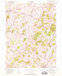 1944 Libertytown1970 Print · USGSMaryland's rolling countryside during the mid-forties is captured here, showing the rural crossroads and farming communities of Frederick and Carroll Counties. Researchers can locate family landmarks such as Ridge Sch No 4, the Lime Mill, and the rail stops of the Baltimore and Ohio.4 unique versions available
 - 1945 Map of Mount Airy, 1955 Print
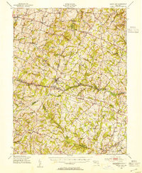 1945 Mount Airy1955 Print · USGSMid-century central Maryland is captured here as a landscape of rural villages and crossroads just before post-war expansion. Genealogists and historians can trace family locations through Mount Airy, Libertytown, and Damascus, or follow the Baltimore and Ohio rail line.2 unique versions available
 - 1945 Map of Woodbine, 1963 Print
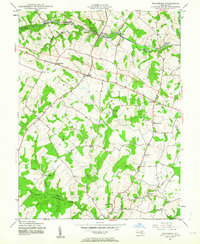 1945 Woodbine1963 Print · USGSMid-century Howard County is documented here during the final years of the second World War, showing a landscape defined by small mills and crossroads. Researchers can trace the Baltimore and Ohio rail corridor and find local landmarks like Mt Gregory Sch, Carrs Mill, and Poplar Springs.6 unique versions available
 - 1948 Map of Baltimore
 1948 Baltimore1948 Print · USGSMaryland and Pennsylvania crossroads are captured in the late 1940s, showing a landscape defined by historic rail lines and major military installations. Genealogists can trace family connections in Gettysburg, Westminster, and near the U.S. Naval Academy in Annapolis.2 unique versions available
 - 1950 Map of Libertytown
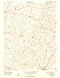 1950 Libertytown1950 Print · USGSMaryland's Piedmont region is captured here at mid-century, showing the rural landscapes of Frederick and Carroll Counties. Genealogists can locate family-named landmarks and institutions like Ridge Sch No 4, the Lime Mill, and settlements including Dorceytown and Woodville.2 unique versions available
 - 1950 Map of Damascus
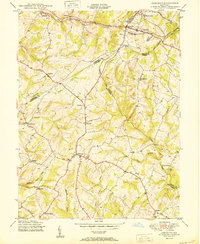 1950 Damascus1950 Print · USGSMid-century Maryland rural life is captured here at the intersection of four counties as agricultural communities thrived. Genealogists can trace family lands near Damascus or locate early settlements like Bartholows and Browningsville along the Baltimore and Ohio RR.2 unique versions available
 - 1950 Map of Woodbine
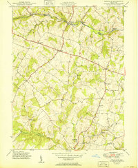 1950 Woodbine1950 Print · USGSMid-century Howard County remains a landscape of independent milling hubs and quiet crossroads hamlets. Trace the heritage of family operations like Hipsleys Mill and Roxbury Mills, or locate early rural school sites such as Mt Gregory Sch.2 unique versions available
 - 1954 Map of Baltimore
 1954 Baltimore1954 Print · USGSThe Mid-Atlantic region in the early fifties shows a landscape of growing suburban centers and heavy rail corridors. Trace mid-century transit networks and military landmarks from the Aberdeen Proving Ground to the Gettysburg National Military Park.
 - 1956 Map of Baltimore
 1956 Baltimore1956 Print · USGSMid-century Maryland and Pennsylvania are captured here during a period of massive suburban and military growth across the Chesapeake region. Genealogists and historians can trace the rail corridors of the Baltimore & Ohio RR and locate landmarks like Fort McHenry or the Aberdeen Proving Ground.
 - 1957 Map of Baltimore, 1964 Print
 1957 Baltimore1964 Print · USGSMaryland and Southern Pennsylvania are shown during the mid-century expansion of the Baltimore-Washington corridor. Researchers can trace the extensive rail lines of the Baltimore & Ohio RR and locate sites like Fort Detrick and Gettysburg National Military Park.5 unique versions available
 - 1961 Map of Baltimore
 1961 Baltimore1961 Print · USGSMaryland and Pennsylvania are captured at a mid-century peak of industrial and military expansion. Genealogists and historians can trace rail corridors like the Western Maryland Ry or locate regional landmarks such as Camp Detrick and Kent Island.
 - 1981 Map of Woodbine, 1986 Print
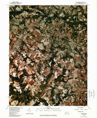 1981 Woodbine1986 Print · USGSHoward County's agricultural landscape is seen in transition during the early eighties, showcasing a patchwork of farms and woodland. Genealogists and local historians can trace the rural layouts of Lisbon, Woodbine, and the area around Cattail Creek.
 - 1981 Map of Damascus, 1986 Print
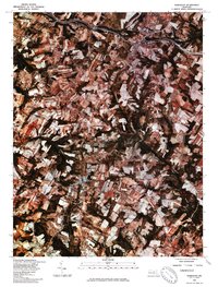 1981 Damascus1986 Print · USGSDamascus and Mount Airy appear at the start of the 1980s in this detailed orthophoto study of the Maryland Piedmont. Researchers can trace land use patterns and property boundaries near the Patuxent River, Bennett Creek, and Cedar Heights.
 - 1984 Map of Frederick, 1985 Print
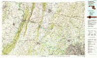 1984 Frederick1985 Print · USGSMaryland's Piedmont and the Potomac River valley are shown here in the mid-eighties as suburban growth began to meet historic rural landscapes. Genealogists and historians can trace the paths of the Baltimore and Ohio RR or locate the boundaries of Antietam National Battlefield and Fort Detrick.
 - 1989 Map of Baltimore
 1989 Baltimore1989 Print · USGSThe Mid-Atlantic corridor in the late eighties is captured here, from the Baltimore harbor to the Blue Ridge foothills. Researchers can trace the sprawling footprints of Aberdeen Proving Ground, the historic grounds of Gettysburg National Military Park, and the winding Susquehanna River.
 - 2011 Map of Damascus, 2011 Print
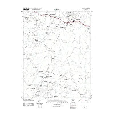 2011 Damascus2011 Print · USGSThe northern Piedmont region of Maryland comes alive in the early twenty-first century, showing the growth of Damascus and its surrounding communities. Genealogists can locate several local burial grounds like Marvin Chapel Cemetery and Bethesda Cemetery alongside long-standing agricultural landmarks like Rock Hill Orchard.
 - 2011 Map of Woodbine, 2011 Print
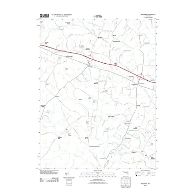 2011 Woodbine2011 Print · USGSMaryland's rolling landscape near the Patapsco River is shown here as it transitioned into the twenty-first century. Researchers can trace family-named estates and local hubs like Woodbine Post Office, Barnes Airport, and the lands of Millys Delight.
 - 2011 Map of Libertytown, 2011 Print
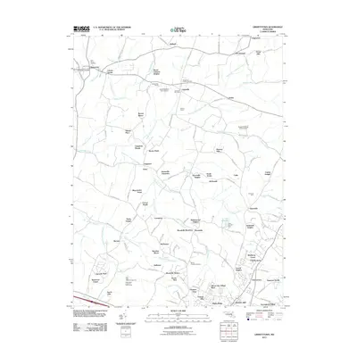 2011 Libertytown2011 Print · USGSMaryland's agricultural heartland is documented here in the early twenty-first century as small towns and farmsteads adapt to modern growth. Researchers can trace family history through landmarks like Saint Peters Cemetery, the old Unionville Post Office, and named tracts such as Calebs Delight.
 - 2014 Map of Woodbine, 2014 Print
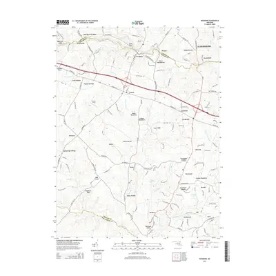 2014 Woodbine2014 Print · USGSMaryland's rolling Piedmont landscape appears here in the early twenty-first century, spanning the borders of Carroll and Howard counties. Genealogists and local historians can trace the continuity of settlements like Lisbon and Florence alongside historical mill sites such as Hoods Mill and Carrs Mill.
 - 2014 Map of Libertytown, 2014 Print
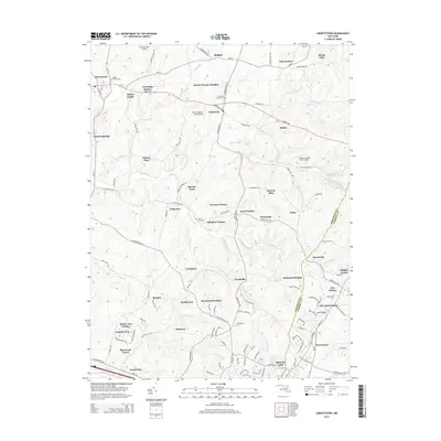 2014 Libertytown2014 Print · USGSMaryland's rolling Piedmont comes into focus in this modern survey of the Frederick and Carroll county line. Genealogists can trace family roots through numerous local landmarks, including the Linganore Chapel Cem, the historic settlement of Unionville, and Parrs Ridge.
 - 2014 Map of Damascus, 2014 Print
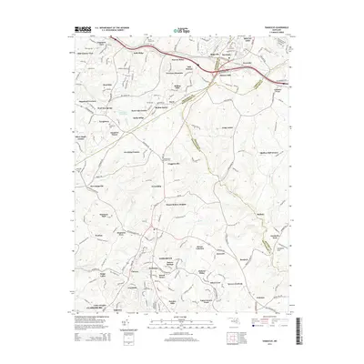 2014 Damascus2014 Print · USGSDamascus and the Piedmont ridges of Montgomery and Frederick counties are captured here in the early 21st century. Researchers can locate numerous family and community burial grounds, including Marvin Chapel Cemetery, or trace rural landmarks like Annapolis Rock and Seneca Springs.
Showing maps 1-25 of 34
Top cities near Mount Airy
- Germantown historical maps
- Frederick historical maps
- Gaithersburg historical maps
- Montgomery Village historical maps
- Eldersburg historical maps
- Westminster historical maps
See more
Top neighborhoods of Mount Airy
- Merridale Gardens historical maps
- Poulsen Heights historical maps
- Merridale historical maps
- Conestoga Heights historical maps
- Dorceytown historical maps
- Mount Airy Village West historical maps
See more
Frequently asked questions
- What are the different types of historical maps available for Mount Airy?
- What is the oldest map of Mount Airy?
- Where can I purchase historical maps of Mount Airy for my home or office?
- Where can I download high-res historical maps of Mount Airy?
- Are there historical topographic maps available for Mount Airy?
- Is there historical aerial imagery available for Mount Airy?
- Where are historical maps of Mount Airy sourced from?