1900s (20th Century) Maps of Berwyn Heights, Maryland
Explore 32 historic maps of Berwyn Heights from the 1900s (20th Century). These maps offer a rare glimpse into what life looked like during the 1900s — showing old roads, neighborhoods, homes, and landmarks that have changed or disappeared over time.
Whether you're researching your family's past, planning a metal detecting trip, or studying how Berwyn Heights's landscape evolved across the 1900s, these high-resolution maps are a powerful tool for exploring the history of this region.
- Focus on a specific era: All maps on this page are from the 1900s, giving you a focused view of this time period.
- See what’s changed: Compare century-old streets, trails, and buildings to today's modern landscape using overlays and satellite layers.
- Research with precision: Use these maps for genealogy, historical research, land use analysis, or educational projects.
- View, download, or print: Maps are fully viewable online in high resolution, and can be downloaded or printed for your own records.
Start exploring Berwyn Heights's history through authentic maps from the 1900s. This is your window into the past.
Berwyn Heights, MD maps
(32)- 1900 Map of Washington
 1900 Washington1900 Print · USGSThe capital region at the turn of the century shows a landscape of river-borne commerce and expanding rail lines. Genealogists and historians can trace defunct transport links like the Shepherd Ferry and early suburbs like North Takoma and Jackson City.2 unique versions available
 - 1906 Map of Patuxent
 1906 Patuxent1906 Print · USGSThe Tidewater region of Maryland and the outskirts of the District of Columbia are shown here at the turn of the century. Researchers can trace the early footprints of Maryland Agril. College, find riverfront infrastructure at Milltown Landing, and follow long-established routes like the Marlboro Turnpike.4 unique versions available
 - 1907 Map of Laurel
 1907 Laurel1907 Print · USGSMaryland's transit corridor between Washington and Baltimore comes alive in the early 1900s as railroads and old turnpikes cross the Patuxent valley. Trace historical landmarks from the House of Reformation to old crossings like Old Forge Bridge and Brock Bridge.3 unique versions available
 - 1908 Map of Patapsco
 1908 Patapsco1908 Print · USGSMaryland's central corridor at the opening of the twentieth century reveals a dense network of harbor defenses and rail-line economies. Genealogists and historians can trace the foundations of Baltimore alongside local landmarks like Ashland Furnace, St Charles College, and Fort McHenry.4 unique versions available
 - 1926 Map of Laurel
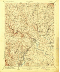 1926 Laurel1926 Print · USGSThe corridor between Baltimore and Washington is captured here in the mid-twenties, showcasing a landscape of river-powered industry and early rail networks. Genealogists can locate family landmarks like Hicks Mill, the Willis School, and the Montgomery Chapel Cem.4 unique versions available
 - 1934 Map of Upper Marlboro (east half)
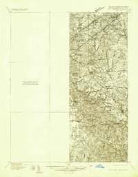 1934 Upper Marlboro (east half)1934 Print · USGSPrince George's County is captured here in the mid-1930s as a rural landscape of crossroads communities and evolving rail lines. Genealogists and historians can trace family roots through landmarks like St Luke Ch, Glenarden Sch, and the route of the Chesapeake Beach RR.2 unique versions available
 - 1937 Map of Upper Marlboro
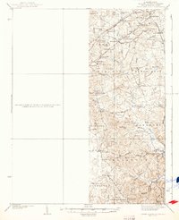 1937 Upper Marlboro1937 Print · USGSMid-century Prince George’s County is captured here just as modern highways began to intersect its rural rail and school districts. Researchers can find old landmarks like St Barnabas Ch, the Collington Sch, and the busy Pennsylvania railroad line.
 - 1938 Map of Upper Marlboro
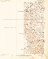 1938 Upper Marlboro1938 Print · USGSPrince George's County at the dawn of the modern era is captured here, showing the rural landscape before the post-war expansion. Researchers can trace family sites near Holy Trinity Ch, follow the Pennsylvania RR line, and locate centers like Rosaryville and Glenn Dale.3 unique versions available
 - 1942 Map of Laurel
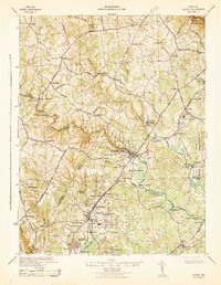 1942 Laurel1942 Print · USGSMaryland's corridor between Baltimore and Washington is seen here in the early 1940s as a land of rural schoolhouses and riverside mills. Researchers can trace family sites near Muirkirk, find the original Christian Brothers College, or locate historic river crossings like Brock Bridge and Duvall Bridge.
 - 1945 Map of Beltsville
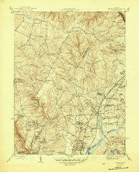 1945 Beltsville1945 Print · USGSThe northern Maryland suburbs show a mix of institutional grounds and rail-side settlements in the mid-forties. Researchers can trace the early footprints of Greenbelt, locate the Briarley Military Academy, and follow the Baltimore and Ohio Railroad through Ammendale and Muirkirk.3 unique versions available
 - 1945 Map of Washington East
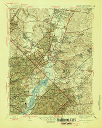 1945 Washington East1945 Print · USGSThe eastern suburbs and District neighborhoods show a landscape of rapid mid-century growth along the Anacostia River and rail lines. Researchers can trace historic sites like Riggs Mill, the early aviation grounds of College Park Airport, and dozens of local schools including Taft Jr High Sch.
 - 1948 Map of Baltimore
 1948 Baltimore1948 Print · USGSMaryland and Pennsylvania crossroads are captured in the late 1940s, showing a landscape defined by historic rail lines and major military installations. Genealogists can trace family connections in Gettysburg, Westminster, and near the U.S. Naval Academy in Annapolis.2 unique versions available
 - 1948 Map of Washington
 1948 Washington1948 Print · USGSThe Potomac and Chesapeake regions in the late 1940s reveal a landscape of expanding military reach and deep-rooted Tidewater settlements. Trace old rail corridors like the Richmond Fredericksburg & Potomac RR or locate landmarks like the Wakefield Washington Monument and St. Marys College.2 unique versions available
 - 1949 Map of Laurel, 1954 Print
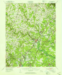 1949 Laurel1954 Print · USGSMaryland's corridor between Baltimore and Washington was a hub of federal research and military activity during the late 1940s. Researchers can trace the layout of the Fort George G Meade Military Reservation and historic sites like Savage Station or the Maryland State Teachers College.2 unique versions available
 - 1951 Map of Washington East
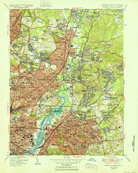 1951 Washington East1951 Print · USGSThe Maryland and District of Columbia borderlands are caught in a period of intense post-war development. Local historians can trace the foundations of the University of Maryland, find the Franciscan Monastery, and locate vanished landmarks like Riggs Mill.
 - 1951 Map of Beltsville
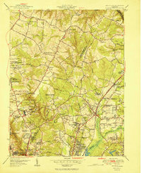 1951 Beltsville1951 Print · USGSMaryland's interior research corridor is captured here at mid-century, showcasing the early growth of Prince George's and Montgomery counties. Genealogists and historians can trace family locations near Union Cem, Colesville Sch, and the grounds of the Naval Ordnance Laboratory.2 unique versions available
 - 1954 Map of Baltimore
 1954 Baltimore1954 Print · USGSThe Mid-Atlantic region in the early fifties shows a landscape of growing suburban centers and heavy rail corridors. Trace mid-century transit networks and military landmarks from the Aberdeen Proving Ground to the Gettysburg National Military Park.
 - 1956 Map of Baltimore
 1956 Baltimore1956 Print · USGSMid-century Maryland and Pennsylvania are captured here during a period of massive suburban and military growth across the Chesapeake region. Genealogists and historians can trace the rail corridors of the Baltimore & Ohio RR and locate landmarks like Fort McHenry or the Aberdeen Proving Ground.
 - 1956 Map of Beltsville, 1958 Print
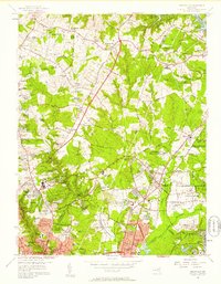 1956 Beltsville1958 Print · USGSMaryland's suburban boundary regions are documented here during a mid-century era of rapid institutional and residential growth. Researchers can find many vanished landmarks, from the Drive-in Theater to legacy sites like Xaverian College and Carver Memorial Cemetery.
 - 1956 Map of Washington East, 1959 Print
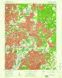 1956 Washington East1959 Print · USGSThe northern reaches of the capital and its Maryland suburbs come into focus during the mid-fifties, showing a landscape defined by institutional campuses and rail lines. Genealogists and historians can trace significant burial grounds like Mt Olivet Cemetery or locate historic landmarks such as Bird Stadium and the National Training School for Boys.
 - 1957 Map of Washington East, 1962 Print
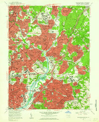 1957 Washington East1962 Print · USGSThe eastern edges of the District and Maryland's inner suburbs are captured here at the height of post-war growth. Researchers can trace the mid-century layout of local landmarks like the National Arboretum, the College Park Airport, and Mt Olivet Cemetery.
 - 1957 Map of Baltimore, 1964 Print
 1957 Baltimore1964 Print · USGSMaryland and Southern Pennsylvania are shown during the mid-century expansion of the Baltimore-Washington corridor. Researchers can trace the extensive rail lines of the Baltimore & Ohio RR and locate sites like Fort Detrick and Gettysburg National Military Park.5 unique versions available
 - 1957 Map of Washington, 1966 Print
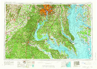 1957 Washington1966 Print · USGSThe mid-Atlantic region during the mid-fifties and early sixties reveals a landscape of growing suburbs and vital military outposts. Researchers can trace historic river towns and shorelines from Alexandria to the Hooper Islands and St Clements Island.5 unique versions available
 - 1961 Map of Washington
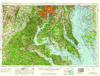 1961 Washington1961 Print · USGSThe mid-Atlantic region in the late fifties is presented in remarkable detail, from the Blue Ridge foothills to the Chesapeake Eastern Shore. Researchers can trace historic river landings and military sites like Mount Vernon, Fort Belvoir, and Point Lookout.2 unique versions available
 - 1961 Map of Baltimore
 1961 Baltimore1961 Print · USGSMaryland and Pennsylvania are captured at a mid-century peak of industrial and military expansion. Genealogists and historians can trace rail corridors like the Western Maryland Ry or locate regional landmarks such as Camp Detrick and Kent Island.
Showing maps 1-25 of 32
Top cities near Berwyn Heights
- Washington historical maps
- Arlington historical maps
- Alexandria historical maps
- Columbia historical maps
- Silver Spring historical maps
- Bethesda historical maps
See more
Frequently asked questions
- What are the different types of historical maps available for Berwyn Heights?
- What is the oldest map of Berwyn Heights?
- Where can I purchase historical maps of Berwyn Heights for my home or office?
- Where can I download high-res historical maps of Berwyn Heights?
- Are there historical topographic maps available for Berwyn Heights?
- Is there historical aerial imagery available for Berwyn Heights?
- Where are historical maps of Berwyn Heights sourced from?