2000s (21st Century) Maps of Washington County, Maryland
Explore 95 historic maps of Washington County from the 2000s (21st Century). These maps offer a rare glimpse into what life looked like during the 2000s — showing old roads, neighborhoods, homes, and landmarks that have changed or disappeared over time.
Whether you're researching your family's past, planning a metal detecting trip, or studying how Washington County's landscape evolved across the 2000s, these high-resolution maps are a powerful tool for exploring the history of this region.
- Focus on a specific era: All maps on this page are from the 2000s, giving you a focused view of this time period.
- See what’s changed: Compare century-old streets, trails, and buildings to today's modern landscape using overlays and satellite layers.
- Research with precision: Use these maps for genealogy, historical research, land use analysis, or educational projects.
- View, download, or print: Maps are fully viewable online in high resolution, and can be downloaded or printed for your own records.
Start exploring Washington County's history through authentic maps from the 2000s. This is your window into the past.
Washington County, MD maps
(95)- 2011 Map of Bellegrove, 2011 Print
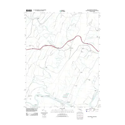 2011 Bellegrove2011 Print · USGSMaryland's river-and-rail corridor along the Potomac is captured here in the early twenty-first century. Researchers can trace historic family connections through Saint Pauls Cemetery and examine the engineering legacy of the Indigo Tunnel and Sideling Hill Creek Aqueduct.
 - 2011 Map of Cherry Run, 2011 Print
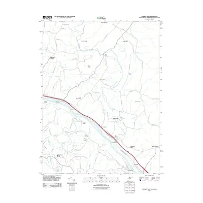 2011 Cherry Run2011 Print · USGSThe Potomac River corridor in the early twenty-first century reveals a landscape shaped by historical transport and small-town roots. Researchers can trace ancestral locations at Stone Bridge Cemetery and explore old riverfront hubs like Millstone and Sleepy Creek.
 - 2011 Map of Hancock, 2011 Print
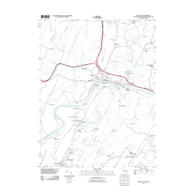 2011 Hancock2011 Print · USGSThe tri-state border comes alive in this survey of the Potomac valley, showing the area as it transitioned into the new millennium. Researchers can trace the Chesapeake and Ohio Canal or locate local landmarks like Sir Johns Run and Johnsons Mill.
 - 2011 Map of Big Pool, 2011 Print
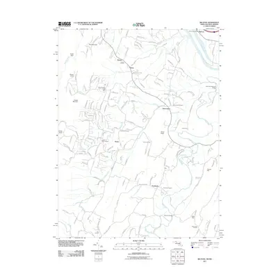 2011 Big Pool2011 Print · USGSBerkeley County, West Virginia, is shown here during a period of modern growth that preserves its deep-rooted rural character. Local historians can trace family ties through Johnsontown Cemetery, Providence Cemetery, and the old community at Tomahawk.
 - 2011 Map of Great Cacapon, 2011 Print
 2011 Great Cacapon2011 Print · USGSThe confluence of the Cacapon and Potomac Rivers was a busy transit corridor in the early twenty-first century. Researchers can find generational landmarks like Mount Nebo Cemetery and the Chesapeake and Ohio Canal near the village of Great Cacapon.
 - 2011 Map of Shepherdstown, 2011 Print
 2011 Shepherdstown2011 Print · USGSShepherdstown and the Potomac River valley are captured here in the early twenty-first century as the region balanced its colonial heritage with modern growth. Genealogists can locate family landmarks like Mount Wesley Cemetery or trace historic river crossings at Pack Horse Ford and Shepherds Ford.
 - 2011 Map of Keedysville, 2011 Print
 2011 Keedysville2011 Print · USGSMaryland's Civil War landscape and rural crossroads are preserved here as they appeared in the early 21st century. Historians can trace the terrain of the Antietam National Cemetery and The Cornfield, or locate family landmarks like Mumma Cemetery and Eakles Mills.
 - 2011 Map of Clear Spring, 2011 Print
 2011 Clear Spring2011 Print · USGSMaryland's Ridge and Valley province is captured here in the early twenty-first century, showing the rural communities of Washington County. Researchers can locate historic sites such as Cushwa Mill, trace family roots at Rose Hill Cemetery, or find the Clear Spring Post Office.
 - 2011 Map of Middletown, 2011 Print
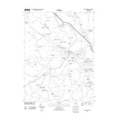 2011 Middletown2011 Print · USGSMiddletown and the surrounding Frederick County valley are captured here in the early twenty-first century as suburban growth meets long-standing farmsteads. Researchers can locate numerous family burial sites like Johnson Cemetery and Mount Tabor Cemetery or trace the waters of Catoctin Creek.
 - 2011 Map of Hagerstown, 2011 Print
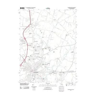 2011 Hagerstown2011 Print · USGSHagerstown and the surrounding Washington County landscape are shown in the early 2000s, balancing suburban growth with historic rural landmarks. Genealogists and historians can trace numerous burial sites like Rose Hill Cemetery and Millers Cemetery, or locate the historic Lehmans Mill along Marsh Run.
 - 2011 Map of Charles Town, 2011 Print
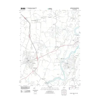 2011 Charles Town2011 Print · USGSCharles Town and the lower Shenandoah Valley are shown here in the early twenty-first century, capturing a landscape of racing history and river commerce. Genealogists and historians can trace family locations through Zion Cemetery, old post offices in Halltown, and the grounds of the Charles Town Racetrack.
 - 2011 Map of Hedgesville, 2011 Print
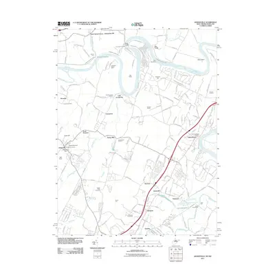 2011 Hedgesville2011 Print · USGSBerkeley County's Potomac riverfront is captured here in the early twenty-first century, showing a landscape defined by the historic canal and early settlements. Researchers can trace family sites at Old Falling Waters Cemetery, McCoys Ferry, and the old industrial site of Green Spring Furnace.
 - 2011 Map of Funkstown, 2011 Print
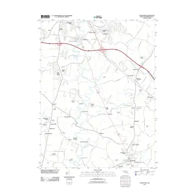 2011 Funkstown2011 Print · USGSMaryland's Washington County landscape is shown here in the early twenty-first century as suburban growth meets rural heritage. Genealogists and local historians can trace family roots through Saint Marks Cemetery and Mount Zion Cemetery or locate landmarks like the Sanmar Orphanage and Mason-Dixon Dragway.
 - 2011 Map of Mason and Dixon, 2011 Print
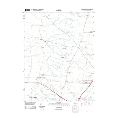 2011 Mason and Dixon2011 Print · USGSMaryland's border country near the Pennsylvania line comes into focus in this modern era survey of Washington County. Researchers can trace ancestral roots through old burial grounds like Reiffs Cemetery and community nodes such as High Germany, Wilson Bridge, and Coseytown.
 - 2011 Map of Harpers Ferry, 2011 Print
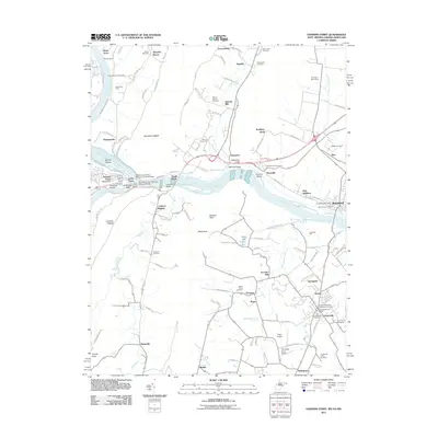 2011 Harpers Ferry2011 Print · USGSHarpers Ferry and the surrounding river gaps are shown here in the early 21st century at the meeting of three states. Local historians can trace the Chesapeake and Ohio Canal, industrial sites like Garretts Mill, and numerous burial sites including the Old Lovettsville Cemetery.
 - 2011 Map of Smithsburg, 2011 Print
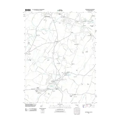 2011 Smithsburg2011 Print · USGSWaynesboro and Smithsburg sat at the center of a thriving orchard and milling district at the start of the twenty-first century. Genealogists and historians can locate old family plots at Green Hill Cemetery or trace landmarks like Bowmans Mill and Smithsburg Post Office.
 - 2011 Map of Myersville, 2011 Print
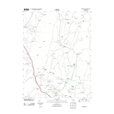 2011 Myersville2011 Print · USGSMaryland's Middletown Valley comes into sharp focus during the early twenty-first century, showing a landscape of small farms and mountain ridges. Genealogists and hikers can trace landmarks like Annapolis Rock, Wolfsville Reformed Cemetery, and Thunderhill Farms.
 - 2011 Map of Williamsport, 2011 Print
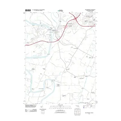 2011 Williamsport2011 Print · USGSMaryland's Potomac River valley is documented here in the early 2000s, showing the intersection of historic canal heritage and modern transit. Genealogists and historians can trace the Chesapeake and Ohio Canal through Williamsport and locate family sites like Bnai Abraham Cemetery and Mount Moriah.
 - 2011 Map of Blue Ridge Summit, 2011 Print
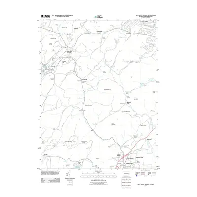 2011 Blue Ridge Summit2011 Print · USGSMaryland's mountainous border with Pennsylvania is shown here in the early twenty-first century, featuring the high-elevation settlements and orchards of the Blue Ridge. Genealogists can locate family burial sites at Apples Cemetery or Browns Cemetery and trace the rail line through Jacks Mountain Tunnel.
 - 2013 Map of Blue Ridge Summit, 2013 Print
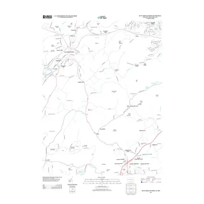 2013 Blue Ridge Summit2013 Print · USGSThe Maryland-Pennsylvania border country comes to life in this survey of the Catoctin range during the early twenty-first century. Researchers can trace the layout of mountain communities like Charmian and Sabillasville or locate landmarks such as Cunningham Falls and Jacks Mountain Tunnel.
 - 2013 Map of Mason and Dixon, 2013 Print
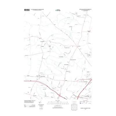 2013 Mason and Dixon2013 Print · USGSThe Pennsylvania-Maryland borderlands come alive in this survey of the northern Hagerstown area. Trace family roots and local history through historic sites like Fairview Mill, the Wilson Bridge, and old settlements including Broadfording and High Germany.
 - 2014 Map of Cherry Run, 2014 Print
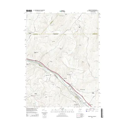 2014 Cherry Run2014 Print · USGSThe tri-state border region along the Potomac River comes into focus in this recent survey of the historic canal corridor. Genealogists and historians can trace the locations of Yeakle Mill, the Licking Creek Aqueduct, and numerous family-named cemeteries like Stone Bridge Cem.
 - 2014 Map of Great Cacapon, 2014 Print
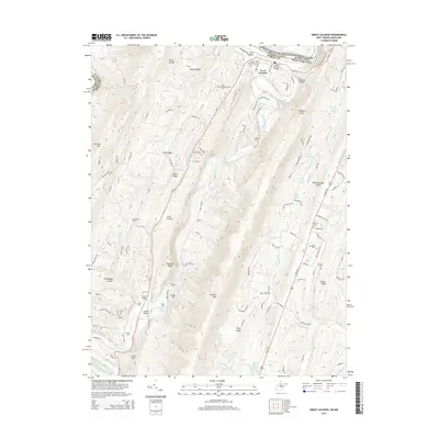 2014 Great Cacapon2014 Print · USGSMorgan County, West Virginia, is shown here in the early twenty-first century as the Cacapon River cuts through the high ridges of the Appalachians. Genealogists and local historians can trace family locations through numerous rural burial sites like Mt Nebo Cem and Miller Cem or locate river crossings at Ziler Ford and Harland Ford.
 - 2014 Map of Harpers Ferry, 2014 Print
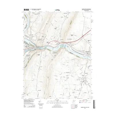 2014 Harpers Ferry2014 Print · USGSHarpers Ferry and its three-state borderlands are shown here in the early twenty-first century, before recent growth reshaped the Loudoun Valley. Genealogists can trace family names through sites like Garretts Mill, the African Methodist Episcopal Cem, and the old rail town of Brunswick.
 - 2014 Map of Charles Town, 2014 Print
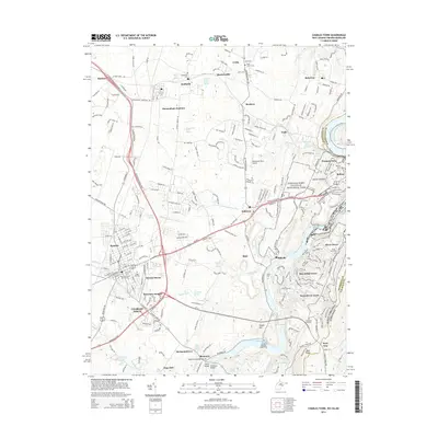 2014 Charles Town2014 Print · USGSJefferson County's storied river junctions and rail corridors are meticulously detailed in the mid-2010s. Researchers can trace family roots through sites like Zion Cem, explore the Chesapeake and Ohio Canal, or locate early settlements such as Uvilla and Halltown.
Showing maps 1-25 of 95
Top cities of Washington County
- Hagerstown historical maps
- Halfway historical maps
- Robinwood historical maps
- Fountainhad-Orchard Hills historical maps
- Boonsboro historical maps
- Maugansville historical maps
See more
Frequently asked questions
- What are the different types of historical maps available for Washington County?
- What is the oldest map of Washington County?
- Where can I purchase historical maps of Washington County for my home or office?
- Where can I download high-res historical maps of Washington County?
- Are there historical topographic maps available for Washington County?
- Is there historical aerial imagery available for Washington County?
- Where are historical maps of Washington County sourced from?