Old Maps of Genezer Estates, Maryland for Metal Detecting
Plan your next treasure hunt with 19 historic maps of Genezer Estates. Find old homesites, ghost towns, trails, and gathering spots that may be lost to time — perfect for identifying promising metal detecting locations.
- Locate forgotten sites: Uncover places like long-lost settlements, abandoned rail lines, or gathering spots.
- Plan better hunts: Use map overlays combined with LiDAR or satellite views to narrow in on historically rich areas.
- Made for detectorists: Thousands of hobbyists use these maps to discover relics, coins, and hidden history.
Use these historic maps to boost your research and find new opportunities beneath the surface of Genezer Estates.
Genezer Estates, MD maps
(19)- 1901 Map of Green Run
 1901 Green Run1901 Print · USGSThe Maryland and Virginia coastline at the start of the century was a land of life-saving stations and isolated landings. Trace the maritime heritage of the barrier islands through North Beach L.S.S. and the commercial roots of Scotts Landing.4 unique versions available
 - 1938 Map of Green Run, 1960 Print
 1938 Green Run1960 Print · USGSAssateague Island and the Delmarva coast appear here in the late 1930s, showing a landscape of maritime outposts and undeveloped barrier beaches. Researchers can trace the early locations of North Beach and Green Run Inlet Coast Guard Stations.
 - 1942 Map of Tingles Island, 1962 Print
 1942 Tingles Island1962 Print · USGSThe Worcester County coastline at the start of the 1940s reveals a maritime landscape of shifting sands and tidal marshes. Researchers can trace the early footprint of the Coast Guard Sta on Assateague Island or the intricate channels of Tingles Narrows.
 - 1943 Map of Tingles Island
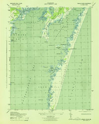 1943 Tingles Island1943 Print · USGSAssateague Island and the Worcester County marshes appear here in the early 1940s, showing a wilder coastline before the arrival of heavy tourism. Researchers can trace landforms like Handys Hammock or locate the North Beach C G Sta along the dunes.
 - 1944 Map of Green Run
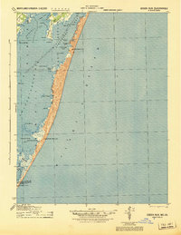 1944 Green Run1944 Print · USGSThe barrier islands and coastal inlets of the Maryland-Virginia border are captured here during the mid-forties. Genealogists and maritime historians can trace the exact locations of coastal defenses and landmarks including North Beach CGS and Winter Quarter.
 - 1946 Map of Salisbury, 1948 Print
 1946 Salisbury1948 Print · USGSThe Delmarva Peninsula in the late nineteen-forties shows a landscape defined by its deep river arteries and emerging coastal defenses. Genealogists and historians can trace rail-connected towns like Federalsburg or locate maritime landmarks such as the Ocean City Seaplane Base and Fort Miles Military Reservation.4 unique versions available
 - 1947 Map of Salisbury, 1948 Print
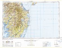 1947 Salisbury1948 Print · USGSThe Delmarva Peninsula in the late forties reveals a coastal landscape of maritime defense and growing seaside towns. Trace the post-war footprint of Salisbury, the strategic Fort Miles Military Reservation, and the Ocean City Seaplane Base.
 - 1948 Map of Salisbury, 1951 Print
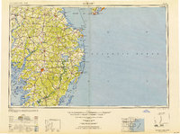 1948 Salisbury1951 Print · USGSThe Delmarva Peninsula in the late 1940s is shown here as a busy network of rail-towns and coastal outposts. Researchers can trace the legacy of the Pennsylvania Railroad through inland hubs like Georgetown or the maritime reaches of Crisfield and Cape May.
 - 1957 Map of Salisbury
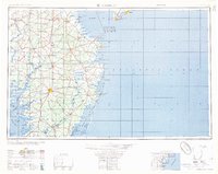 1957 Salisbury1957 Print · USGSThe Delmarva Peninsula in the mid-1950s reveals a landscape of coastal defenses and rail-driven commerce. Researchers can trace the Pennsylvania railroad lines or locate historic landmarks like the Fenwick Island Lighthouse and St Martin church.
 - 1961 Map of Salisbury
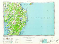 1961 Salisbury1961 Print · USGSThe Delmarva Peninsula comes into focus in the early sixties, showing the vital road and rail networks connecting the Chesapeake to the Atlantic. Genealogists and historians can trace family-named landings and coastal landmarks from Crisfield to the Brandywine Shoal Lighthouse.
 - 1964 Map of Tingles Island, 1966 Print
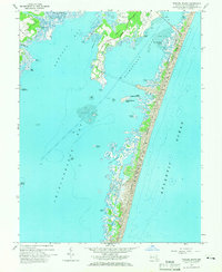 1964 Tingles Island1966 Print · USGSAssateague Island and the Worcester County coast are documented here in the mid-sixties, just as public recreation was being formalized. Researchers can trace the early layout of Assateague State Park or locate landmarks like Tingles Island and the Golf and Yacht Club.4 unique versions available
 - 1965 Map of Salisbury
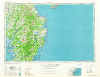 1965 Salisbury1965 Print · USGSThe Delmarva Peninsula in the mid-1960s is depicted here as a landscape of coastal defenses and maritime hubs. Genealogists and local historians can trace the foundations of bayside towns like Crisfield and the tactical positioning of the Fort Miles Military Reservation and Cape May Naval Air Station.
 - 1983 Map of Salisbury, 1984 Print
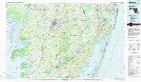 1983 Salisbury1984 Print · USGSThe Lower Eastern Shore was a landscape of tide and timber in the early eighties, from the bustling streets of Salisbury to the wild coast of Assateague Island. Researchers can trace the rail-and-road network of the Conrail and U S Highway 50 while locating historic centers like Princess Anne and Crisfield.
 - 1998 Map of Tingles Island, 2000 Print
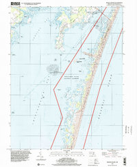 1998 Tingles Island2000 Print · USGSCoastal Worcester County is captured here in the late nineties, documenting the shifting sands and protected wetlands of the Atlantic shore. Researchers can trace the shoreline of Assateague Island and find landmarks like Tingles Island and Sandy Point Island.
 - 2011 Map of Tingles Island, 2011 Print
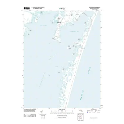 2011 Tingles Island2011 Print · USGSThe Worcester County coast is captured here just after the first decade of the millennium, showing the intricate salt marshes and necks of the bay system. Researchers can trace landforms and recreational sites from Newport South to the shores of Tingles Island and Great Egging Island.
 - 2014 Map of Tingles Island, 2014 Print
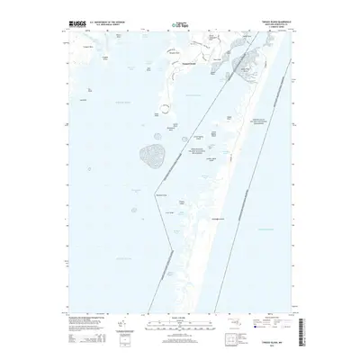 2014 Tingles Island2014 Print · USGSCoastal Worcester County in the early twenty-first century reveals a delicate landscape of barrier islands and protected shores. Researchers can trace the shifting boundaries of Assateague Island or locate specific points like Tingles Island and Newport South.
 - 2016 Map of Tingles Island, 2016 Print
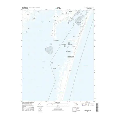 2016 Tingles Island2016 Print · USGSCoastal Maryland at the start of the twenty-first century reveals a delicate balance of protected barrier islands and mainland development. Researchers can trace the shoreline geography of Assateague Island National Seashore and small features like Tingles Island and Rum Point.
 - 2019 Map of Tingles Island, 2019 Print
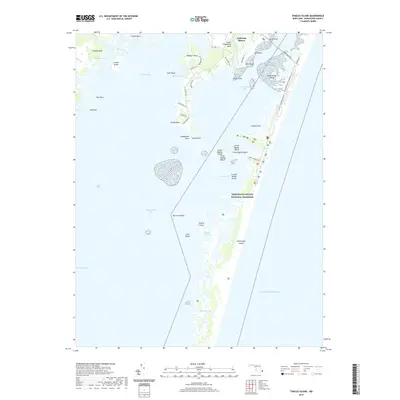 2019 Tingles Island2019 Print · USGSAssateague Island and the Worcester County mainland are captured in this recent survey of Maryland's coastal bays. Trace the modern boundaries of Assateague Island National Seashore and find local landmarks like Golf Club Shores and South Point.
 - 2023 Map of Tingles Island, 2023 Print
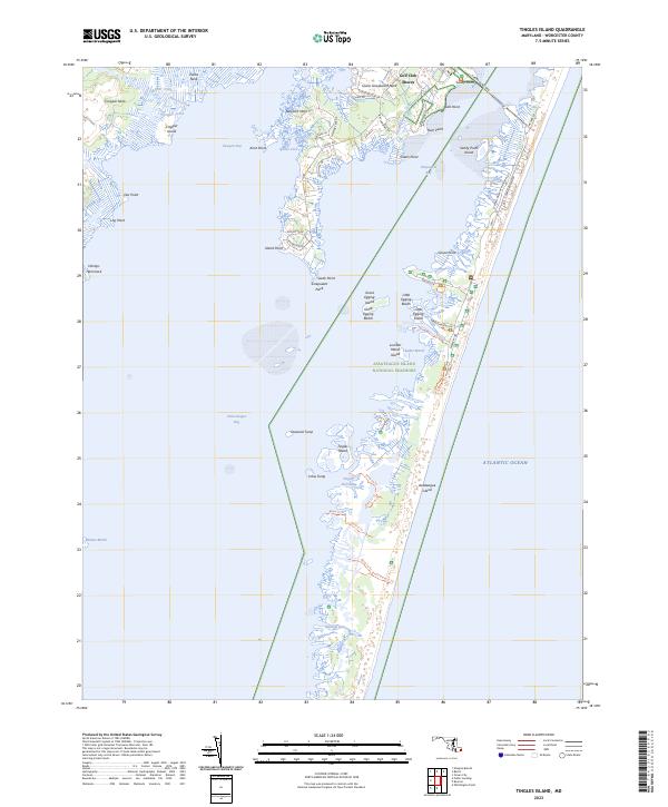 2023 Tingles Island2023 Print · USGSAssateague Island and the Worcester County coastline are shown here in detail during the early 2020s. Researchers can trace the modern road networks near Lower Sinepuxent Neck or locate specific marsh features like Tingles Island and Robins Marsh.
End of results
Showing maps 1-19 of 19
Top cities near Genezer Estates
- Ocean Pines historical maps
- Ocean City historical maps
- West Ocean City historical maps
- Berlin historical maps
- Chincoteague historical maps
- Snow Hill historical maps
See more
Frequently asked questions
- What are the different types of historical maps available for Genezer Estates?
- What is the oldest map of Genezer Estates?
- Where can I purchase historical maps of Genezer Estates for my home or office?
- Where can I download high-res historical maps of Genezer Estates?
- Are there historical topographic maps available for Genezer Estates?
- Is there historical aerial imagery available for Genezer Estates?
- Where are historical maps of Genezer Estates sourced from?