2020s Maps of Truro, Massachusetts
Explore 8 historic maps of Truro from the 2020s. These maps offer a rare glimpse into what life looked like during the 2020s — showing old roads, neighborhoods, homes, and landmarks that have changed or disappeared over time.
Whether you're researching your family's past, planning a metal detecting trip, or studying how Truro's landscape evolved across the 2020s, these high-resolution maps are a powerful tool for exploring the history of this region.
- Focus on a specific era: All maps on this page are from the 2020s, giving you a focused view of this time period.
- See what’s changed: Compare century-old streets, trails, and buildings to today's modern landscape using overlays and satellite layers.
- Research with precision: Use these maps for genealogy, historical research, land use analysis, or educational projects.
- View, download, or print: Maps are fully viewable online in high resolution, and can be downloaded or printed for your own records.
Start exploring Truro's history through authentic maps from the 2020s. This is your window into the past.
Truro, MA maps
(8)- 2021 Map of Wellfleet OE E, 2021 Print
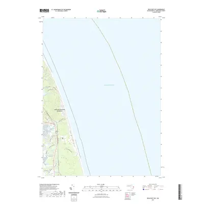 2021 Wellfleet OE E2021 Print · USGSCovers Truro, including Eastham, Wellfleet, and other nearby areas
 - 2021 Map of North Truro, 2021 Print
 2021 North Truro2021 Print · USGSCovers Truro, including Pond Village, North Truro, and other nearby areas
 - 2021 Map of Wellfleet, 2021 Print
 2021 Wellfleet2021 Print · USGSCovers Truro, including Eastham, Wellfleet, and other nearby areas
 - 2021 Map of Provincetown, 2021 Print
 2021 Provincetown2021 Print · USGSCovers Truro, including Provincetown, Beach Point, and other nearby areas
 - 2024 Map of North Truro, 2024 Print
 2024 North Truro2024 Print · USGSThe northern reaches of Cape Cod come into focus in this contemporary study of its maritime landscape. Genealogists can trace family landmarks like Old North Cem and Hills of Storms Cem or explore the lanes of Pond Village.
 - 2024 Map of Wellfleet OE E, 2024 Print
 2024 Wellfleet OE E2024 Print · USGSCoastal Barnstable County is shown in this recent survey, capturing the windswept dunes and marshes of the outer Cape. Genealogists and historians can trace the community around South Wellfleet, locate the South Wellfleet Cemetery, and follow the Cape Cod Rail Trail.
 - 2024 Map of Wellfleet, 2024 Print
 2024 Wellfleet2024 Print · USGSWellfleet and Truro appear in this modern survey of the Outer Cape, where the Atlantic meets a landscape of kettle ponds and shifting sands. Genealogists and historians can trace local landmarks like Oakdale Cem, the path of the Cape Cod Rail Trail, and the protected reaches of Great Island.
 - 2024 Map of Provincetown, 2024 Print
 2024 Provincetown2024 Print · USGSThe tip of Cape Cod is captured in modern detail, showcasing the relationship between the village of Provincetown and the surrounding coastal wilderness. Researchers can trace landforms and local landmarks from High Pole Hill and Saint Peters church to the shifting Dunes of the Provincelands.
End of results
Showing maps 1-8 of 8
Top cities near Truro
- Dennis historical maps
- Brewster historical maps
- Orleans historical maps
- Eastham historical maps
- Provincetown historical maps
- Wellfleet historical maps
Top neighborhoods of Truro
- Pond Village historical maps
- North Truro historical maps
- Pilgrim Heights historical maps
- Beach Point historical maps
- South Truro historical maps
Frequently asked questions
- What are the different types of historical maps available for Truro?
- What is the oldest map of Truro?
- Where can I purchase historical maps of Truro for my home or office?
- Where can I download high-res historical maps of Truro?
- Are there historical topographic maps available for Truro?
- Is there historical aerial imagery available for Truro?
- Where are historical maps of Truro sourced from?