2020s Maps of Berkshire County, Massachusetts
Explore 50 historic maps of Berkshire County from the 2020s. These maps offer a rare glimpse into what life looked like during the 2020s — showing old roads, neighborhoods, homes, and landmarks that have changed or disappeared over time.
Whether you're researching your family's past, planning a metal detecting trip, or studying how Berkshire County's landscape evolved across the 2020s, these high-resolution maps are a powerful tool for exploring the history of this region.
- Focus on a specific era: All maps on this page are from the 2020s, giving you a focused view of this time period.
- See what’s changed: Compare century-old streets, trails, and buildings to today's modern landscape using overlays and satellite layers.
- Research with precision: Use these maps for genealogy, historical research, land use analysis, or educational projects.
- View, download, or print: Maps are fully viewable online in high resolution, and can be downloaded or printed for your own records.
Start exploring Berkshire County's history through authentic maps from the 2020s. This is your window into the past.
Berkshire County, MA maps
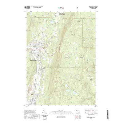
(50)- 2021 Map of Plainfield, 2021 Print
 2021 Plainfield2021 Print · USGSCovers Berkshire County, including Ashfield, Charlemont, and other nearby areas
 - 2021 Map of Rowe, 2021 Print
 2021 Rowe2021 Print · USGSCovers Berkshire County, including Charlemont, Florida, and other nearby areas
 - 2021 Map of Peru, 2021 Print
 2021 Peru2021 Print · USGSCovers Berkshire County, including Dalton, Hinsdale, and other nearby areas
 - 2021 Map of East Lee, 2021 Print
 2021 East Lee2021 Print · USGSCovers Berkshire County, including Great Barrington, Lee, and other nearby areas
 - 2021 Map of Monterey, 2021 Print
 2021 Monterey2021 Print · USGSCovers Berkshire County, including Great Barrington, Becket, and other nearby areas
 - 2021 Map of Pittsfield East, 2021 Print
 2021 Pittsfield East2021 Print · USGSCovers Berkshire County, including Pittsfield, Dalton, and other nearby areas
 - 2021 Map of North Adams, 2021 Print
 2021 North Adams2021 Print · USGSCovers Berkshire County, including North Adams, Adams, and other nearby areas
 - 2021 Map of South Sandisfield, 2021 Print
 2021 South Sandisfield2021 Print · USGSCovers Berkshire County, including North Canaan, Norfolk, and other nearby areas
 - 2021 Map of Pittsfield West, 2021 Print
 2021 Pittsfield West2021 Print · USGSCovers Berkshire County, including Pittsfield, Lenox, and other nearby areas
 - 2021 Map of Tolland Center, 2021 Print
 2021 Tolland Center2021 Print · USGSCovers Berkshire County, including Hartland, Colebrook, and other nearby areas
 - 2021 Map of Great Barrington, 2021 Print
 2021 Great Barrington2021 Print · USGSCovers Berkshire County, including Great Barrington, Sheffield, and other nearby areas
 - 2021 Map of Becket, 2021 Print
 2021 Becket2021 Print · USGSCovers Berkshire County, including Becket, Otis, and other nearby areas
 - 2021 Map of Egremont, 2021 Print
 2021 Egremont2021 Print · USGSCovers Berkshire County, including Great Barrington, Copake, and other nearby areas
 - 2021 Map of Stockbridge, 2021 Print
 2021 Stockbridge2021 Print · USGSCovers Berkshire County, including Great Barrington, Lee, and other nearby areas
 - 2021 Map of Windsor, 2021 Print
 2021 Windsor2021 Print · USGSCovers Berkshire County, including Adams, Dalton, and other nearby areas
 - 2021 Map of Bash Bish Falls, 2021 Print
 2021 Bash Bish Falls2021 Print · USGSCovers Berkshire County, including Salisbury, Copake, and other nearby areas
 - 2021 Map of Cheshire, 2021 Print
 2021 Cheshire2021 Print · USGSCovers Berkshire County, including Adams, Dalton, and other nearby areas
 - 2021 Map of Hancock, 2021 Print
 2021 Hancock2021 Print · USGSCovers Berkshire County, including Pittsfield, Lanesborough, and other nearby areas
 - 2021 Map of State Line, 2021 Print
 2021 State Line2021 Print · USGSCovers Berkshire County, including Great Barrington, Hillsdale, and other nearby areas
 - 2021 Map of Williamstown, 2021 Print
 2021 Williamstown2021 Print · USGSCovers Berkshire County, including North Adams, Adams, and other nearby areas
 - 2021 Map of Ashley Falls, 2021 Print
 2021 Ashley Falls2021 Print · USGSCovers Berkshire County, including Salisbury, Sheffield, and other nearby areas
 - 2021 Map of Otis, 2021 Print
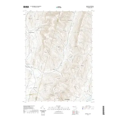
 2021 Otis2021 Print · USGSCovers Berkshire County, including Becket, Otis, and other nearby areas
 - 2021 Map of Worthington, 2021 Print
 2021 Worthington2021 Print · USGSCovers Berkshire County, including Chesterfield, Worthington, and other nearby areas
 - 2023 Map of Copake, 2023 Print
 2023 Copake2023 Print · USGSColumbia County’s eastern borderland comes alive in this survey, capturing the agricultural and industrial valley at the foot of the Taconic Range. Genealogists and historians can trace the roads to Boston Corner, locate the Weed Mines, or find family names near Ancramdale.
 - 2023 Map of Berlin, 2023 Print
 2023 Berlin2023 Print · USGSThe Little Hoosic River valley near the New York, Vermont, and Massachusetts borders remains a landscape of deep hollows and high ridges. Genealogists and hikers can trace the connections between Berlin, the Meadow Lawn Cem, and the high trails of the Taconic Range.
Showing maps 1-25 of 50
Top cities of Berkshire County
- Pittsfield historical maps
- North Adams historical maps
- Adams historical maps
- Williamstown historical maps
- Great Barrington historical maps
- Dalton historical maps
See more
Frequently asked questions
- What are the different types of historical maps available for Berkshire County?
- What is the oldest map of Berkshire County?
- Where can I purchase historical maps of Berkshire County for my home or office?
- Where can I download high-res historical maps of Berkshire County?
- Are there historical topographic maps available for Berkshire County?
- Is there historical aerial imagery available for Berkshire County?
- Where are historical maps of Berkshire County sourced from?