2000s (21st Century) Maps of Mount Washington, Massachusetts
Explore 16 historic maps of Mount Washington from the 2000s (21st Century). These maps offer a rare glimpse into what life looked like during the 2000s — showing old roads, neighborhoods, homes, and landmarks that have changed or disappeared over time.
Whether you're researching your family's past, planning a metal detecting trip, or studying how Mount Washington's landscape evolved across the 2000s, these high-resolution maps are a powerful tool for exploring the history of this region.
- Focus on a specific era: All maps on this page are from the 2000s, giving you a focused view of this time period.
- See what’s changed: Compare century-old streets, trails, and buildings to today's modern landscape using overlays and satellite layers.
- Research with precision: Use these maps for genealogy, historical research, land use analysis, or educational projects.
- View, download, or print: Maps are fully viewable online in high resolution, and can be downloaded or printed for your own records.
Start exploring Mount Washington's history through authentic maps from the 2000s. This is your window into the past.
Mount Washington, MA maps
(16)- 2010 Map of Copake, 2010 Print
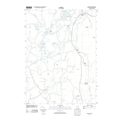 2010 Copake2010 Print · USGSCovers Mount Washington, including Copake, North East, and other nearby areas
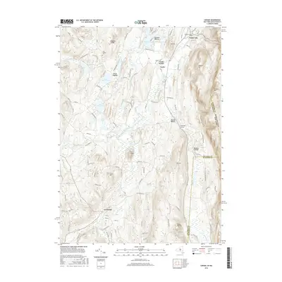
 - 2010 Map of Egremont, 2010 Print
 2010 Egremont2010 Print · USGSCovers Mount Washington, including Great Barrington, Copake, and other nearby areas
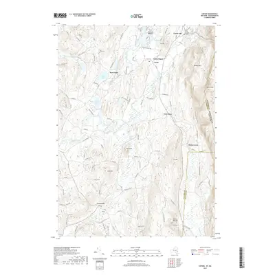
 - 2012 Map of Egremont, 2012 Print
 2012 Egremont2012 Print · USGSCovers Mount Washington, including Great Barrington, Copake, and other nearby areas
 - 2012 Map of Bash Bish Falls, 2012 Print
 2012 Bash Bish Falls2012 Print · USGSCovers Mount Washington, including Salisbury, Copake, and other nearby areas
 - 2013 Map of Copake, 2013 Print
 2013 Copake2013 Print · USGSCovers Mount Washington, including Copake, North East, and other nearby areas
 - 2015 Map of Bash Bish Falls, 2015 Print
 2015 Bash Bish Falls2015 Print · USGSCovers Mount Washington, including Salisbury, Copake, and other nearby areas
 - 2015 Map of Egremont, 2015 Print
 2015 Egremont2015 Print · USGSCovers Mount Washington, including Great Barrington, Copake, and other nearby areas
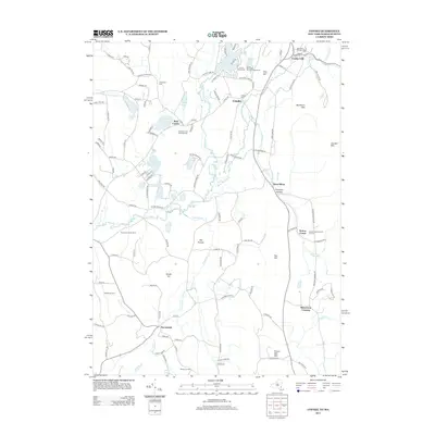
 - 2016 Map of Copake, 2016 Print
 2016 Copake2016 Print · USGSCovers Mount Washington, including Copake, North East, and other nearby areas
 - 2018 Map of Egremont, 2018 Print
 2018 Egremont2018 Print · USGSCovers Mount Washington, including Great Barrington, Copake, and other nearby areas
 - 2018 Map of Bash Bish Falls, 2018 Print
 2018 Bash Bish Falls2018 Print · USGSCovers Mount Washington, including Salisbury, Copake, and other nearby areas
 - 2019 Map of Copake, 2019 Print
 2019 Copake2019 Print · USGSCovers Mount Washington, including Copake, North East, and other nearby areas
 - 2021 Map of Egremont, 2021 Print
 2021 Egremont2021 Print · USGSCovers Mount Washington, including Great Barrington, Copake, and other nearby areas
 - 2021 Map of Bash Bish Falls, 2021 Print
 2021 Bash Bish Falls2021 Print · USGSCovers Mount Washington, including Salisbury, Copake, and other nearby areas
 - 2023 Map of Copake, 2023 Print
 2023 Copake2023 Print · USGSColumbia County’s eastern borderland comes alive in this survey, capturing the agricultural and industrial valley at the foot of the Taconic Range. Genealogists and historians can trace the roads to Boston Corner, locate the Weed Mines, or find family names near Ancramdale.
 - 2024 Map of Egremont, 2024 Print
 2024 Egremont2024 Print · USGSThe western edge of the Berkshires meets the New York state line in this contemporary survey of the Taconic highlands. Genealogists and hikers can trace the Appalachian National Scenic Trail and local landmarks like Riverside Cem or Bard College at Simon's Rock.
 - 2024 Map of Bash Bish Falls, 2024 Print
 2024 Bash Bish Falls2024 Print · USGSThe tri-state corner of Massachusetts, Connecticut, and New York is showcased here in the modern era. Genealogists and hikers can trace the Appalachian National Scenic Trail past several remote burial sites, including the Anna Lee Cem and Churchill Cem.
End of results
Showing maps 1-16 of 16
Top cities near Mount Washington
- Great Barrington historical maps
- Claverack historical maps
- Lee historical maps
- Ghent historical maps
- Lenox historical maps
- Salisbury historical maps
See more
Frequently asked questions
- What are the different types of historical maps available for Mount Washington?
- What is the oldest map of Mount Washington?
- Where can I purchase historical maps of Mount Washington for my home or office?
- Where can I download high-res historical maps of Mount Washington?
- Are there historical topographic maps available for Mount Washington?
- Is there historical aerial imagery available for Mount Washington?
- Where are historical maps of Mount Washington sourced from?