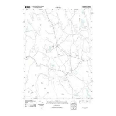
2010 Map of Egremont
USGS Topo · Published 2010About this map
The Green River and its various tributaries define the valley landscapes of western Massachusetts and eastern New York in this 2010 study. Central to the map are the clustered settlements of North Egremont, South Egremont, and Egremont Plain, which follow the primary road corridors that have historically connected these Berkshires communities. The South Egremont Post Office and Riverside Cemetery serve as local landmarks, grounding the geography in its long-standing civic and community history.
Find a feature on this map
102 named features on this map. Tap any name to fly to it.
Don’t see what you’re looking for? This feature index may not catch every label — zoom into the map to look around manually.
Map Details
Editions of this 2010 Egremont Map
This is the sole edition of this map. No revisions or reprints were ever made.
Other maps of this area

1885 · Sheffield
USGS Topo · 1:62,500

1888 · Sheffield
USGS Topo · 1:62,500

1888 · Pittsfield
USGS Topo · 1:62,500

1890 · Pittsfield
USGS Topo · 1:62,500

1891 · Sheffield
USGS Topo · 1:62,500

1893 · Sheffield
USGS Topo · 1:62,500

1893 · Pittsfield
USGS Topo · 1:62,500

1894 · Pittsfield
USGS Topo · 1:62,500

1897 · Pittsfield
USGS Topo · 1:62,500

1897 · Sheffield
USGS Topo · 1:62,500