Old Maps of Freetown, Massachusetts for Hiking & Exploration
Hike through history with 70 historic maps of Freetown. Explore old trails, ghost towns, and forgotten backroads — perfect for outdoor adventurers and local explorers.
- Rediscover forgotten places: Map out old mining camps, roads, and footpaths that no longer exist on modern maps.
- Layer with modern tools: Combine with LiDAR or satellite views to plan hikes through historical terrain.
- Made for exploration: Popular among hikers, overlanders, and local history lovers.
Use these maps to find adventure and explore the hidden past of Freetown.
Freetown, MA maps
(70)- 1885 Map of New Bedford
 1885 New Bedford1885 Print · USGSThe Buzzards Bay coastline and its industrial hubs are captured here as the maritime economy met the rising age of rail. Genealogy and local history researchers can trace the streets of New Bedford, the tracks of the Old Colony Railroad, and coastal landmarks like Clark Point Light.
 - 1885 Map of Middleboro
 1885 Middleboro1885 Print · USGSPlymouth County at the height of its nineteenth-century rail expansion is anchored by the hub at Middleboro. Genealogists and historians can trace defunct stops like Haskins Station and Rock Station or locate families in The Green and Paper Mill Village.
 - 1885 Map of Taunton
 1885 Taunton1885 Print · USGSTaunton and the surrounding Bristol County townships are shown here during a period of significant industrial and rail expansion. Researchers can trace historic family landmarks and local institutions like the State Hospital for the Insane, Dighton Rock, and the Swansea Factory.
 - 1888 Map of New Bedford
 1888 New Bedford1888 Print · USGSThe bustling whale oil and textile hub of New Bedford is shown here at its maritime peak in the late nineteenth century. Genealogists can trace early neighborhood grids and find outlying rural stops like Braleys Station, Turners Mills, and Nasketucket.
 - 1888 Map of Fall River
 1888 Fall River1888 Print · USGSCoastal Massachusetts and Rhode Island are captured here in the late nineteenth century as industry and agriculture thrived side-by-side. Genealogists and researchers can trace the early rail networks of the Old Colony Railroad or locate family homesteads near Tiverton Four Corners and Little Compton.
 - 1888 Map of Taunton
 1888 Taunton1888 Print · USGSIn the late nineteenth century, this region of Bristol County was a bustling industrial and rail center. Researchers can trace the extensive Old Colony Railroad network through specialized stops like Britanniaville Station and Cranes Station.
 - 1888 Map of Middleboro
 1888 Middleboro1888 Print · USGSPlymouth County in the late nineteenth century is a bustling intersection of iron and water, where the Old Colony Railroad branches reach across the landscape. Genealogists and historians can trace the early footprints of Paper Mill Village, The Green, and Haskins Station before modern development changed these local centers.
 - 1893 Map of Taunton
 1893 Taunton1893 Print · USGSTaunton flourished as a rail and manufacturing powerhouse during the late nineteenth century, situated at the nexus of the Old Colony Railroad system. Genealogists and historians can trace the early industrial sites like the Copper Works and Swansea Factory or find local landmarks such as Dighton Rock and the town Almshouse.7 unique versions available
 - 1893 Map of Middleboro
 1893 Middleboro1893 Print · USGSThe Plymouth County landscape in the 1890s is captured here as a major rail hub. Genealogists can trace family footprints near Rock Station, the mills of Paper Mill Village, and along the shores of Assawompsett Pond.8 unique versions available
 - 1893 Map of Fall River
 1893 Fall River1893 Print · USGSCoastal Massachusetts and Rhode Island are captured here in the late nineteenth century as the textile industry and railroads reshaped the waterfront. Genealogists and local historians can trace early family holdings and hubs like Globe Village, Tiverton Four Corners, and the old Bordens Wharf.9 unique versions available
 - 1893 Map of New Bedford
 1893 New Bedford1893 Print · USGSThe South Coast of Massachusetts is captured here in the late nineteenth century as a hub of maritime trade and rail transit. Researchers can trace the waterfront development of New Bedford, find old coastal lights like Neds Point Light, and locate family settlements at Potomska and Apponagansett.9 unique versions available
 - 1916 Map of Middleboro
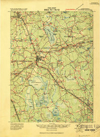 1916 Middleboro1916 Print · USGSSoutheastern Massachusetts at the height of its rail-and-mill era shows a dense network of stations and wetlands. Trace the Old Colony Railroad lines to sites like Haskins Station, Paper Mill Village, and the Lakeville State Sanatarium.
 - 1918 Map of Middleboro, 1921 Print
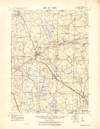 1918 Middleboro1921 Print · USGSSoutheastern Massachusetts at the end of the Great War reveals a landscape defined by cranberry bogs, cedar swamps, and a dense network of Old Colony Railroad lines. Genealogists and historians can trace rail stops like Haskins Station, the grounds of the Lakeville State Sanatarium, and old villages like The Green.
 - 1918 Map of New Bedford, 1921 Print
 1918 New Bedford1921 Print · USGSThe Buzzards Bay coastline thrived with rail and maritime commerce during the early twentieth century. Researchers can trace historic shorelines and infrastructure at New Bedford, Fairhaven, and Clark Point Light.
 - 1918 Map of Taunton, 1921 Print
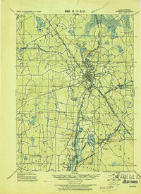 1918 Taunton1921 Print · USGSSoutheastern Massachusetts at the close of the Great War is a dense network of industrial rail lines and riverside villages. You can trace the path of the Old Colony Railroad Main Line or locate local landmarks like the Copper Works and Annawon Rock.
 - 1919 Map of Fall River
 1919 Fall River1919 Print · USGSThe coastal borderlands of Massachusetts and Rhode Island are captured here just after the Great War, showing the transition from industrial Fall River to rural seaside hamlets. Genealogists can locate family landmarks in Little Compton The Commons, trace the Old Colony Railroad, or explore old landings at Westport Point.
 - 1936 Map of New Bedford North
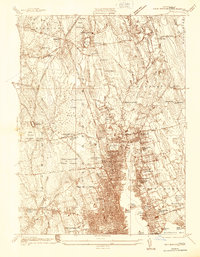 1936 New Bedford North1936 Print · USGSGreater New Bedford in the mid-thirties shows a fascinating contrast between its bustling riverfront and the expansive cedar swamps to the north. Genealogists and historians can trace family plots in Riverside Cem, locate the Bluestone Quarry, or find old schoolhouses like the Faunces Cor Sch.
 - 1937 Map of Assawompset Pond
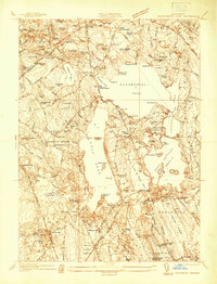 1937 Assawompset Pond1937 Print · USGSThe Lakeville and Freetown area in the late thirties is defined by its massive pond systems and a transition toward regional water management. Genealogists can locate family burial grounds like Strowbridge Cem or trace the early industrial footprint of Bettys Neck Cranberry Co and the Taunton Water Works.
 - 1941 Map of New Bedford North
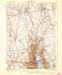 1941 New Bedford North1941 Print · USGSIn the early 1940s, the New Bedford waterfront was a complex network of rail and industry. Trace the historic neighborhoods of Fairhaven and Acushnet, locating family landmarks like St Marys Cem or the Evergreen Racetrack.3 unique versions available
 - 1941 Map of Assawompset Pond
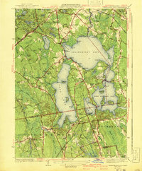 1941 Assawompset Pond1941 Print · USGSSoutheastern Massachusetts in the early 1940s is defined here by its massive freshwater pond systems and the infrastructure of the local waterworks. Genealogists can trace family footprints across dozens of local landmarks like Haskins Cem, Bettys Neck, and the East Freetown Sta.3 unique versions available
 - 1942 Map of New Bedford
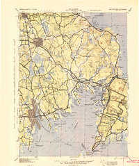 1942 New Bedford1942 Print · USGSSoutheastern Massachusetts at the start of the 1940s shows a region defined by maritime defense and industrial rail corridors. Genealogists and historians can trace the massive Camp Edwards boundary, old rail stops like Rock Station, and vanished local industry at Paper Mill Village.2 unique versions available
 - 1943 Map of Assonet
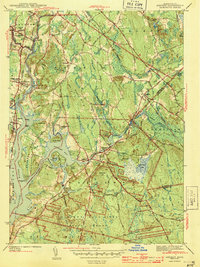 1943 Assonet1943 Print · USGSBristol County at the height of the war years reveals a landscape defined by tidal rivers and the steady pulse of the New Haven and Hartford Railroad. Researchers can trace ancestral sites from Dighton Rock to several family plots like Winslow Cem and the Old Quaker Cem.2 unique versions available
 - 1943 Map of Providence
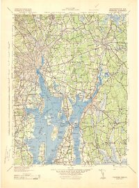 1943 Providence1943 Print · USGSNarragansett Bay and the industrial Blackstone Valley appear here in the midst of the Second World War. Genealogists and researchers can trace local landmarks like Lonsdale Station, the St Marys Reservoir, and the Rhode Island State Airport.
 - 1944 Map of Fall River East
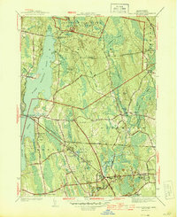 1944 Fall River East1944 Print · USGSBristol County during the mid-forties shows a landscape of growing townships and preserved woodlands before the modern suburban boom. Researchers can trace ancestral property near Fighting Rock Corner, Westport Mills, and the Evergreen Cem.2 unique versions available
 - 1947 Map of Providence, 1948 Print
 1947 Providence1948 Print · USGSSouthern New England is captured in the mid-1940s, showing a landscape defined by busy industrial ports and expanding military installations. Researchers can trace the rail lines of the N.Y. N.H. & H. RR or locate coastal defenses like Fort Adams and Quonset Point.5 unique versions available
Showing maps 1-25 of 70
Top cities near Freetown
- New Bedford historical maps
- Fall River historical maps
- Taunton historical maps
- Attleboro historical maps
- Dartmouth historical maps
- Bridgewater historical maps
See more
Top neighborhoods of Freetown
- Masons Corner historical maps
- Buffington Corner historical maps
- Camp Welch historical maps
- Braleys historical maps
- East Freetown historical maps
- Assonet historical maps
See more
Frequently asked questions
- What are the different types of historical maps available for Freetown?
- What is the oldest map of Freetown?
- Where can I purchase historical maps of Freetown for my home or office?
- Where can I download high-res historical maps of Freetown?
- Are there historical topographic maps available for Freetown?
- Is there historical aerial imagery available for Freetown?
- Where are historical maps of Freetown sourced from?