2020s Maps of West Tisbury, Massachusetts
Explore 11 historic maps of West Tisbury from the 2020s. These maps offer a rare glimpse into what life looked like during the 2020s — showing old roads, neighborhoods, homes, and landmarks that have changed or disappeared over time.
Whether you're researching your family's past, planning a metal detecting trip, or studying how West Tisbury's landscape evolved across the 2020s, these high-resolution maps are a powerful tool for exploring the history of this region.
- Focus on a specific era: All maps on this page are from the 2020s, giving you a focused view of this time period.
- See what’s changed: Compare century-old streets, trails, and buildings to today's modern landscape using overlays and satellite layers.
- Research with precision: Use these maps for genealogy, historical research, land use analysis, or educational projects.
- View, download, or print: Maps are fully viewable online in high resolution, and can be downloaded or printed for your own records.
Start exploring West Tisbury's history through authentic maps from the 2020s. This is your window into the past.
West Tisbury, MA maps
(11)- 2021 Map of Vineyard Haven, 2021 Print
 2021 Vineyard Haven2021 Print · USGSCovers West Tisbury, including Falmouth, Tisbury, and other nearby areas
 - 2021 Map of Tisbury Great Pond, 2021 Print
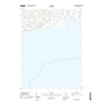 2021 Tisbury Great Pond2021 Print · USGSCovers West Tisbury, including Chilmark, Tississa, and other nearby areas
 - 2021 Map of Naushon Island, 2021 Print
 2021 Naushon Island2021 Print · USGSCovers West Tisbury, including Chilmark, Aquinnah, and other nearby areas
 - 2021 Map of Edgartown, 2021 Print
 2021 Edgartown2021 Print · USGSCovers West Tisbury, including Falmouth, Mashpee, and other nearby areas
 - 2021 Map of Edgartown OE S, 2021 Print
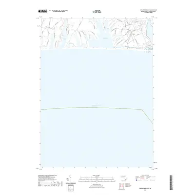 2021 Edgartown OE S2021 Print · USGSCovers West Tisbury, including Edgartown, Katama, and other nearby areas
 - 2023 Map of Edgartown, 2023 Print
 2023 Edgartown2023 Print · USGSCovers West Tisbury, including Falmouth, Mashpee, and other nearby areas
 - 2024 Map of Edgartown OE S, 2024 Print
 2024 Edgartown OE S2024 Print · USGSThe southern coast of Martha's Vineyard comes alive in this 2020s survey of the plains and coastal ponds. Trace the unique geography of Katama and its historic airpark, or locate family landmarks along Watcha Path and the shores of Oyster Pond.
 - 2024 Map of Tisbury Great Pond, 2024 Print
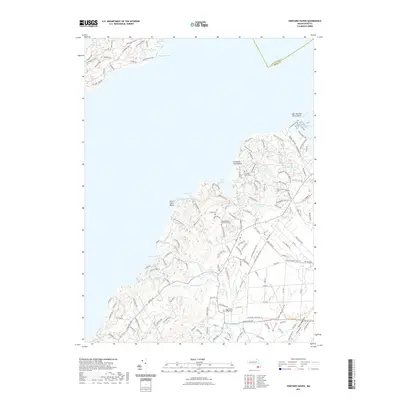
 2024 Tisbury Great Pond2024 Print · USGSThe south shore of Martha's Vineyard is captured in this modern survey, showcasing the coastal settlements of Chilmark and Quansoo. Genealogists can locate Chilmark Cem while tracing family landmarks like Abel Hill and Tisbury Great Pond.
 - 2024 Map of Edgartown, 2024 Print
 2024 Edgartown2024 Print · USGSMartha's Vineyard's eastern shores are captured here in the late twenty-teens, from the ferries of Vineyard Haven to the lanes of Edgartown. Genealogists can trace family plots at Sailors Burying Ground or Hebrew Cem, while aviation buffs will find both Trade Wind Airport and the larger island airfield.
 - 2024 Map of Naushon Island, 2024 Print
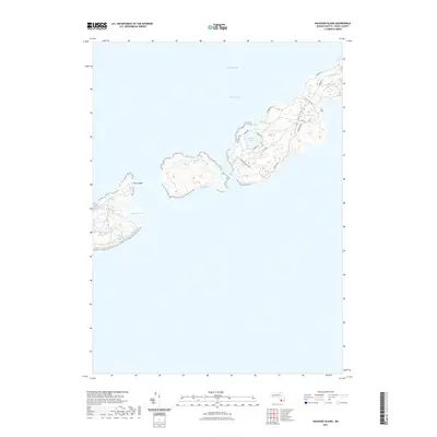
 2024 Naushon Island2024 Print · USGSThe Elizabeth Islands chain is documented here in its modern state, showing the preserved coastal landscapes of Dukes County. Trace historical maritime features and inland trails like Tarpaulin Cove, Rambler Path, and the narrow waters of Quicks Hole.
 - 2024 Map of Vineyard Haven, 2024 Print
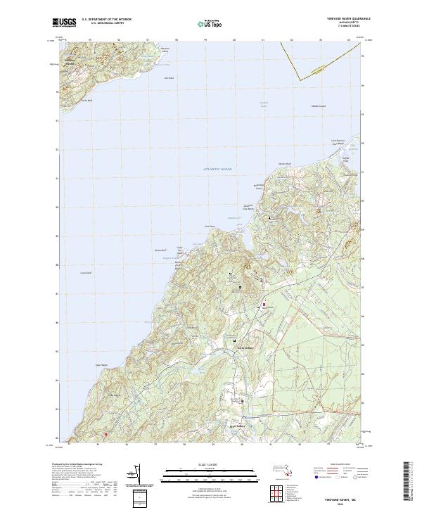 2024 Vineyard Haven2024 Print · USGSMartha's Vineyard and the Elizabeth Islands are captured in this recent survey of the Vineyard Sound region. Genealogists and historians can trace family burial sites like Lamberts Cove Cem and old mill sites near West Tisbury.
End of results
Showing maps 1-11 of 11
Top cities near West Tisbury
- New Bedford historical maps
- Falmouth historical maps
- Fairhaven historical maps
- Mashpee historical maps
- Mattapoisett historical maps
- Tisbury historical maps
See more
Top neighborhoods of West Tisbury
- Christian Town historical maps
- Longview historical maps
- Makonikey historical maps
- North Tisbury historical maps
- Lamberts Cove historical maps
- Tississa historical maps
Frequently asked questions
- What are the different types of historical maps available for West Tisbury?
- What is the oldest map of West Tisbury?
- Where can I purchase historical maps of West Tisbury for my home or office?
- Where can I download high-res historical maps of West Tisbury?
- Are there historical topographic maps available for West Tisbury?
- Is there historical aerial imagery available for West Tisbury?
- Where are historical maps of West Tisbury sourced from?