2000s (21st Century) Maps of Middleton, Massachusetts
Explore 20 historic maps of Middleton from the 2000s (21st Century). These maps offer a rare glimpse into what life looked like during the 2000s — showing old roads, neighborhoods, homes, and landmarks that have changed or disappeared over time.
Whether you're researching your family's past, planning a metal detecting trip, or studying how Middleton's landscape evolved across the 2000s, these high-resolution maps are a powerful tool for exploring the history of this region.
- Focus on a specific era: All maps on this page are from the 2000s, giving you a focused view of this time period.
- See what’s changed: Compare century-old streets, trails, and buildings to today's modern landscape using overlays and satellite layers.
- Research with precision: Use these maps for genealogy, historical research, land use analysis, or educational projects.
- View, download, or print: Maps are fully viewable online in high resolution, and can be downloaded or printed for your own records.
Start exploring Middleton's history through authentic maps from the 2000s. This is your window into the past.
Middleton, MA maps
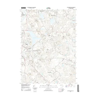
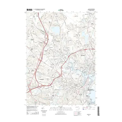
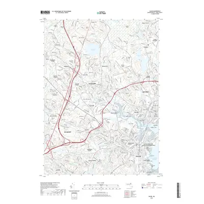
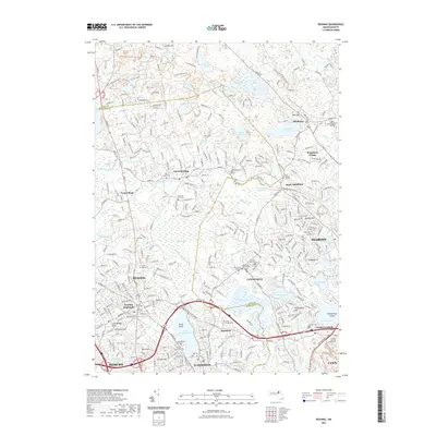
(20)- 2012 Map of Salem, 2012 Print
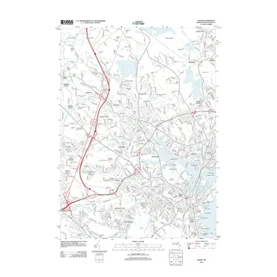 2012 Salem2012 Print · USGSCovers Middleton, including Lynn, Peabody, and other nearby areas
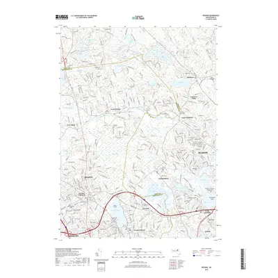
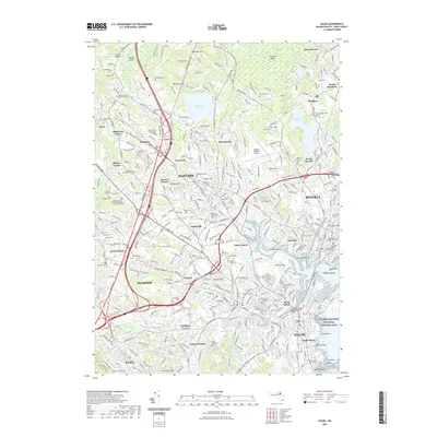
 - 2012 Map of Reading, 2012 Print
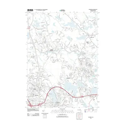 2012 Reading2012 Print · USGSCovers Middleton, including Lynn, Peabody, and other nearby areas
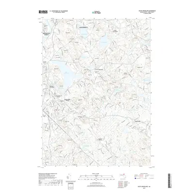
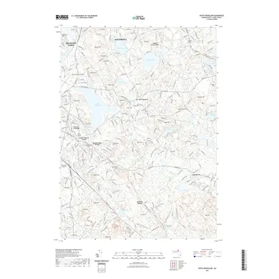
 - 2012 Map of South Groveland, 2012 Print
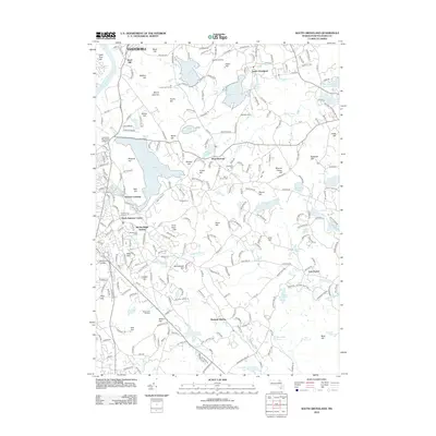 2012 South Groveland2012 Print · USGSCovers Middleton, including Haverhill, Methuen, and other nearby areas
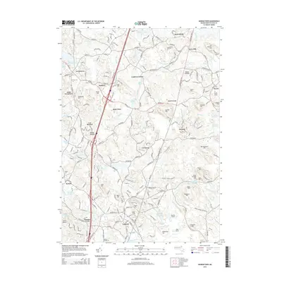
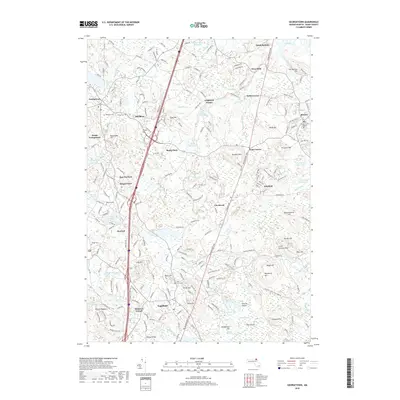
 - 2012 Map of Georgetown, 2012 Print
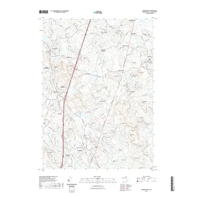
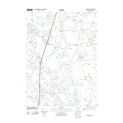 2012 Georgetown2012 Print · USGSCovers Middleton, including Ipswich, Georgetown, and other nearby areas
 - 2015 Map of South Groveland, 2015 Print
 2015 South Groveland2015 Print · USGSCovers Middleton, including Haverhill, Methuen, and other nearby areas
 - 2015 Map of Salem, 2015 Print
 2015 Salem2015 Print · USGSCovers Middleton, including Lynn, Peabody, and other nearby areas
 - 2015 Map of Georgetown, 2015 Print
 2015 Georgetown2015 Print · USGSCovers Middleton, including Ipswich, Georgetown, and other nearby areas
 - 2015 Map of Reading, 2015 Print
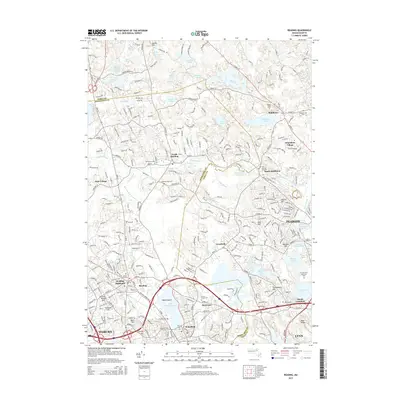 2015 Reading2015 Print · USGSCovers Middleton, including Lynn, Peabody, and other nearby areas
 - 2018 Map of Salem, 2018 Print
 2018 Salem2018 Print · USGSCovers Middleton, including Lynn, Peabody, and other nearby areas
 - 2018 Map of South Groveland, 2018 Print
 2018 South Groveland2018 Print · USGSCovers Middleton, including Haverhill, Methuen, and other nearby areas
 - 2018 Map of Georgetown, 2018 Print
 2018 Georgetown2018 Print · USGSCovers Middleton, including Ipswich, Georgetown, and other nearby areas
 - 2018 Map of Reading, 2018 Print
 2018 Reading2018 Print · USGSCovers Middleton, including Lynn, Peabody, and other nearby areas
 - 2021 Map of Georgetown, 2021 Print
 2021 Georgetown2021 Print · USGSCovers Middleton, including Ipswich, Georgetown, and other nearby areas
 - 2021 Map of Reading, 2021 Print
 2021 Reading2021 Print · USGSCovers Middleton, including Lynn, Peabody, and other nearby areas
 - 2021 Map of Salem, 2021 Print
 2021 Salem2021 Print · USGSCovers Middleton, including Lynn, Peabody, and other nearby areas
 - 2021 Map of South Groveland, 2021 Print
 2021 South Groveland2021 Print · USGSCovers Middleton, including Haverhill, Methuen, and other nearby areas
 - 2024 Map of South Groveland, 2024 Print
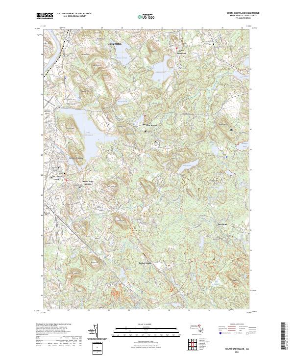 2024 South Groveland2024 Print · USGSEssex County's wooded hills and pond-rich lowlands are meticulously detailed here in the 2020s. Genealogists and historians can trace centuries of settlement through sites like the Smallpox Burial Ground, Marble Ridge Station, and the Old North Parish Burying Ground.
 - 2024 Map of Salem, 2024 Print
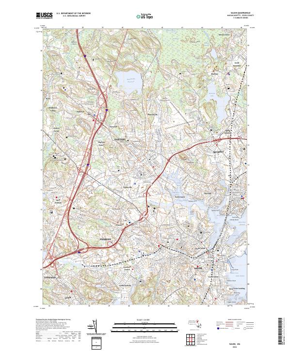 2024 Salem2024 Print · USGSCoastal Massachusetts at the start of the twenty-first century reveals a landscape where colonial heritage and modern infrastructure meet. Genealogists can trace ancestral sites at The Burying Point and Old Settlers Burying Ground or explore the historic waterfront of Salem.
 - 2024 Map of Georgetown, 2024 Print
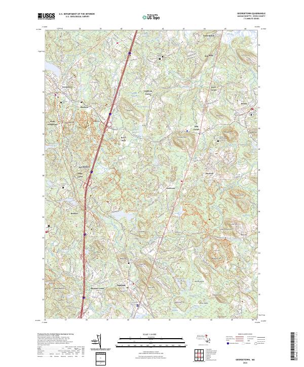 2024 Georgetown2024 Print · USGSCoastal Essex County continues to balance its historic village character with a landscape of wooded hills and winding brooks. Genealogists can trace burial records at Rowley Burial Ground and Byfield Parish Cem while exploring old corners like Doles Corner.
 - 2024 Map of Reading, 2024 Print
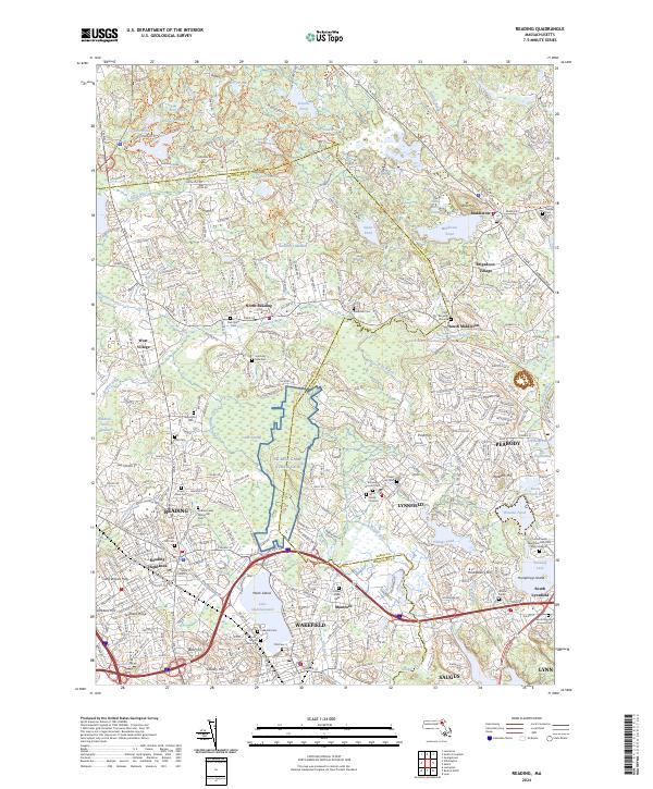 2024 Reading2024 Print · USGSThe North Shore interior and Ipswich River valley are shown here in recent years, documenting a landscape of historic towns and reclaimed rail corridors. Researchers can trace local lineage through several colonial-era sites like the Flint Burying Ground or locate the NG MTA Camp Curtis Guil military grounds.
End of results
Showing maps 1-20 of 20
Top cities near Middleton
- Boston historical maps
- Cambridge historical maps
- Lynn historical maps
- Lawrence historical maps
- Somerville historical maps
- Haverhill historical maps
See more
Top neighborhoods of Middleton
- South Middleton historical maps
- Middleton Colony historical maps
- Brigadoon Village historical maps
- Howe historical maps
Frequently asked questions
- What are the different types of historical maps available for Middleton?
- What is the oldest map of Middleton?
- Where can I purchase historical maps of Middleton for my home or office?
- Where can I download high-res historical maps of Middleton?
- Are there historical topographic maps available for Middleton?
- Is there historical aerial imagery available for Middleton?
- Where are historical maps of Middleton sourced from?