2000s (21st Century) Maps of Rowley, Massachusetts
Explore 25 historic maps of Rowley from the 2000s (21st Century). These maps offer a rare glimpse into what life looked like during the 2000s — showing old roads, neighborhoods, homes, and landmarks that have changed or disappeared over time.
Whether you're researching your family's past, planning a metal detecting trip, or studying how Rowley's landscape evolved across the 2000s, these high-resolution maps are a powerful tool for exploring the history of this region.
- Focus on a specific era: All maps on this page are from the 2000s, giving you a focused view of this time period.
- See what’s changed: Compare century-old streets, trails, and buildings to today's modern landscape using overlays and satellite layers.
- Research with precision: Use these maps for genealogy, historical research, land use analysis, or educational projects.
- View, download, or print: Maps are fully viewable online in high resolution, and can be downloaded or printed for your own records.
Start exploring Rowley's history through authentic maps from the 2000s. This is your window into the past.
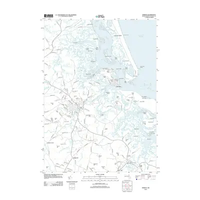
Rowley, MA maps
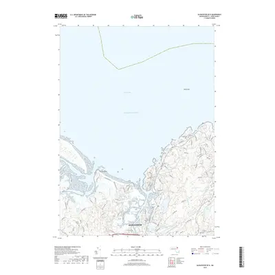
(25)- 2012 Map of Gloucester OE N, 2012 Print
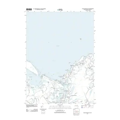 2012 Gloucester OE N2012 Print · USGSCovers Rowley, including Gloucester, Ipswich, and other nearby areas
 - 2012 Map of Ipswich, 2012 Print
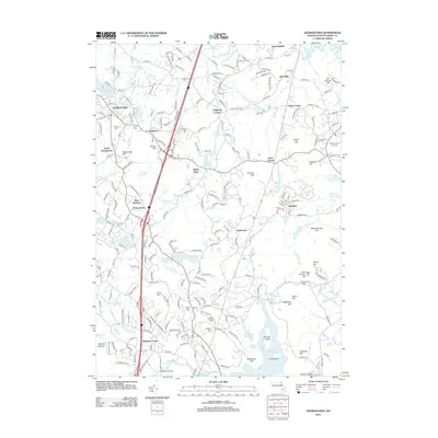
 2012 Ipswich2012 Print · USGSCovers Rowley, including Gloucester, Ipswich, and other nearby areas
 - 2012 Map of Newburyport West, 2012 Print
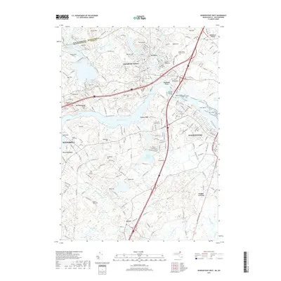
 2012 Newburyport West2012 Print · USGSCovers Rowley, including Haverhill, Newburyport, and other nearby areas
 - 2012 Map of Newburyport East, 2012 Print
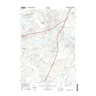
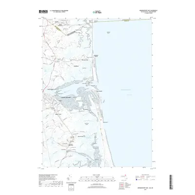
 2012 Newburyport East2012 Print · USGSCovers Rowley, including Newburyport, Salisbury, and other nearby areas
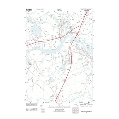
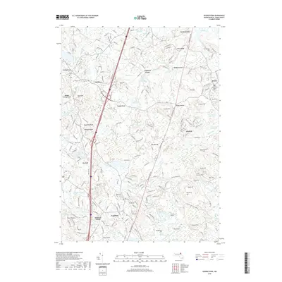
 - 2012 Map of Georgetown, 2012 Print
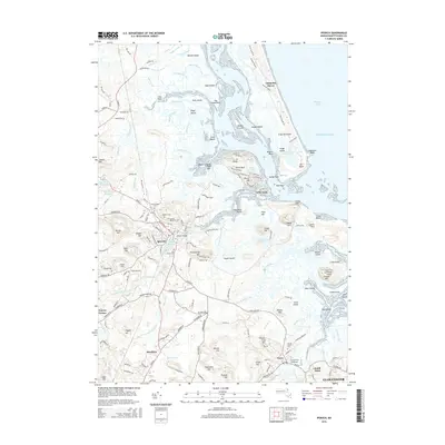
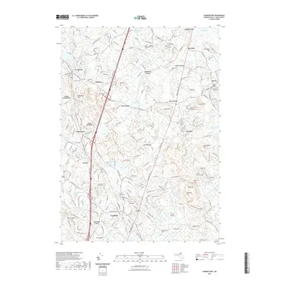
 2012 Georgetown2012 Print · USGSCovers Rowley, including Ipswich, Middleton, and other nearby areas
 - 2015 Map of Ipswich, 2015 Print
 2015 Ipswich2015 Print · USGSCovers Rowley, including Gloucester, Ipswich, and other nearby areas
 - 2015 Map of Gloucester OE N, 2015 Print
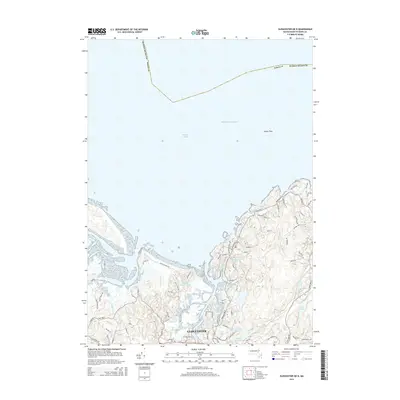 2015 Gloucester OE N2015 Print · USGSCovers Rowley, including Gloucester, Ipswich, and other nearby areas
 - 2015 Map of Newburyport East, 2015 Print
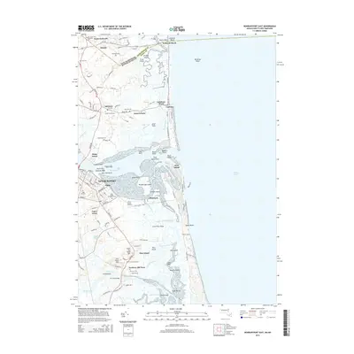 2015 Newburyport East2015 Print · USGSCovers Rowley, including Newburyport, Salisbury, and other nearby areas
 - 2015 Map of Newburyport West, 2015 Print
 2015 Newburyport West2015 Print · USGSCovers Rowley, including Haverhill, Newburyport, and other nearby areas
 - 2015 Map of Georgetown, 2015 Print
 2015 Georgetown2015 Print · USGSCovers Rowley, including Ipswich, Middleton, and other nearby areas
 - 2018 Map of Ipswich, 2018 Print
 2018 Ipswich2018 Print · USGSCovers Rowley, including Gloucester, Ipswich, and other nearby areas
 - 2018 Map of Georgetown, 2018 Print
 2018 Georgetown2018 Print · USGSCovers Rowley, including Ipswich, Middleton, and other nearby areas
 - 2018 Map of Gloucester OE N, 2018 Print
 2018 Gloucester OE N2018 Print · USGSCovers Rowley, including Gloucester, Ipswich, and other nearby areas
 - 2018 Map of Newburyport East, 2018 Print
 2018 Newburyport East2018 Print · USGSCovers Rowley, including Newburyport, Salisbury, and other nearby areas
 - 2018 Map of Newburyport West, 2018 Print
 2018 Newburyport West2018 Print · USGSCovers Rowley, including Haverhill, Newburyport, and other nearby areas
 - 2021 Map of Georgetown, 2021 Print
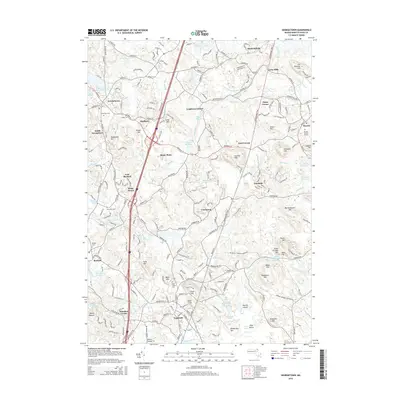
 2021 Georgetown2021 Print · USGSCovers Rowley, including Ipswich, Middleton, and other nearby areas
 - 2021 Map of Gloucester OE N, 2021 Print
 2021 Gloucester OE N2021 Print · USGSCovers Rowley, including Gloucester, Ipswich, and other nearby areas
 - 2021 Map of Ipswich, 2021 Print
 2021 Ipswich2021 Print · USGSCovers Rowley, including Gloucester, Ipswich, and other nearby areas
 - 2021 Map of Newburyport East, 2021 Print
 2021 Newburyport East2021 Print · USGSCovers Rowley, including Newburyport, Salisbury, and other nearby areas
 - 2021 Map of Newburyport West, 2021 Print
 2021 Newburyport West2021 Print · USGSCovers Rowley, including Haverhill, Newburyport, and other nearby areas
 - 2024 Map of Ipswich, 2024 Print
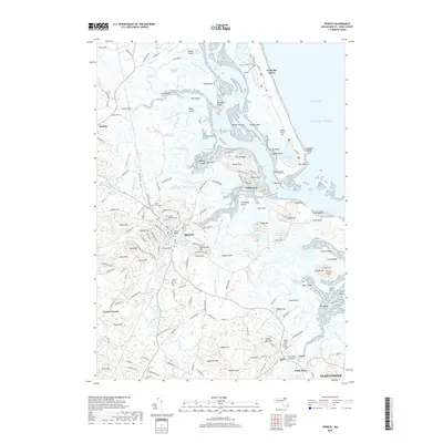
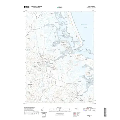
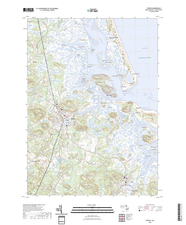 2024 Ipswich2024 Print · USGSThe salt marshes and barrier islands of the Massachusetts North Shore are beautifully documented in this modern survey of the Ipswich and Essex coastline. Researchers can locate historic burial sites like the Old North Burying Ground or trace the winding channels of Paine Creek and the Egypt River.
 - 2024 Map of Gloucester OE N, 2024 Print
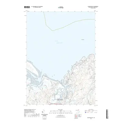
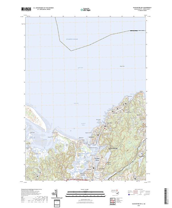 2024 Gloucester OE N2024 Print · USGSThe rugged granite coastline of Cape Ann is captured in this modern survey of the harbors and quarries surrounding GLOUCESTER. Trace family roots through numerous burial sites like Locust Grove Cem and Bayview Cem, or locate historic industrial sites such as Bay State Quarry.
 - 2024 Map of Newburyport West, 2024 Print
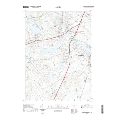
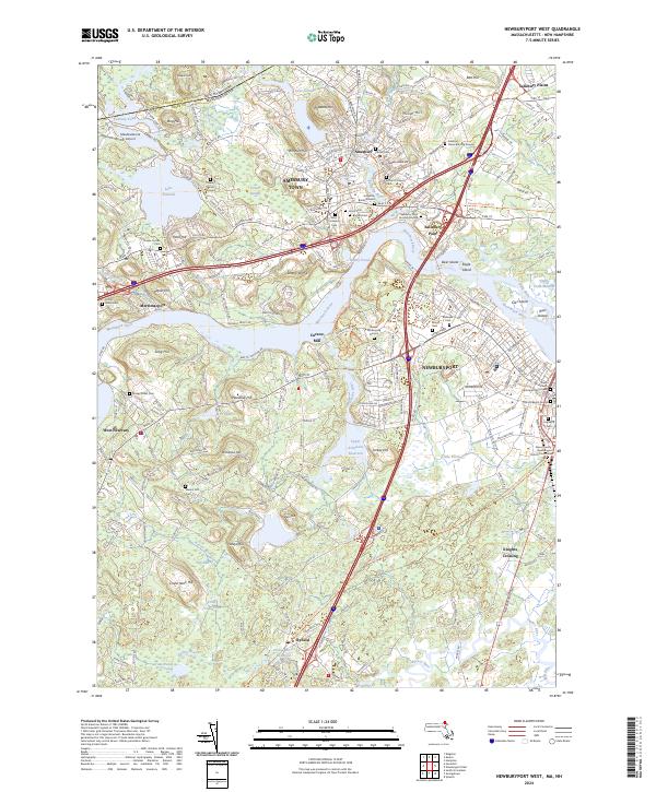 2024 Newburyport West2024 Print · USGSThe Lower Merrimack Valley at the dawn of the 2020s shows a landscape where colonial-era sites like the Golgotha Burial Ground meet modern preservation. Genealogists can trace family names across Saint Marys Cem, Knights Crossing, and the historic Curzon Mill.
 - 2024 Map of Newburyport East, 2024 Print
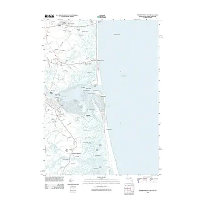
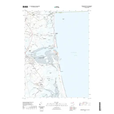
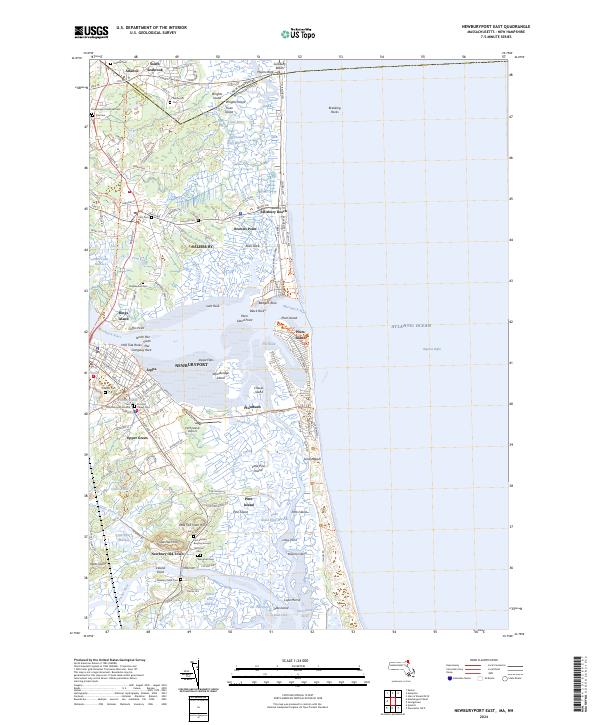 2024 Newburyport East2024 Print · USGSThe North Shore coast comes alive in this survey of the Merrimack estuary and its barrier islands. Researchers can trace ancestral roots through sites like the First Settlers Burying Ground or explore the vast marshes of the Parker River National Wildlife Refuge.
 - 2024 Map of Georgetown, 2024 Print
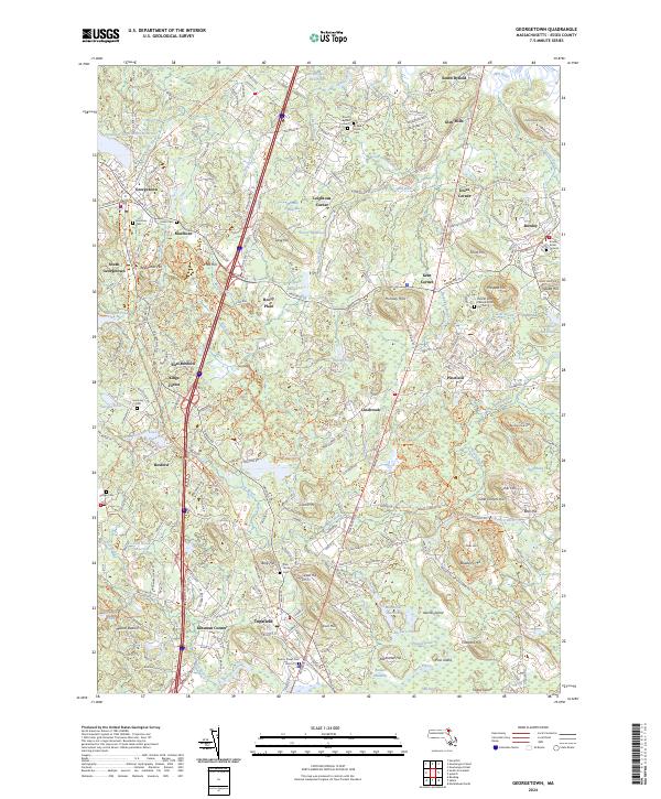 2024 Georgetown2024 Print · USGSCoastal Essex County continues to balance its historic village character with a landscape of wooded hills and winding brooks. Genealogists can trace burial records at Rowley Burial Ground and Byfield Parish Cem while exploring old corners like Doles Corner.
End of results
Showing maps 1-25 of 25
Top cities near Rowley
- Lynn historical maps
- Haverhill historical maps
- Peabody historical maps
- Salem historical maps
- Beverly historical maps
- Gloucester historical maps
See more
Top neighborhoods of Rowley
- Rooty Plain historical maps
- Doles Corner historical maps
- Glen Mills historical maps
- Leightons Corner historical maps
- Kent Corner historical maps
- Hog Islands historical maps
Frequently asked questions
- What are the different types of historical maps available for Rowley?
- What is the oldest map of Rowley?
- Where can I purchase historical maps of Rowley for my home or office?
- Where can I download high-res historical maps of Rowley?
- Are there historical topographic maps available for Rowley?
- Is there historical aerial imagery available for Rowley?
- Where are historical maps of Rowley sourced from?