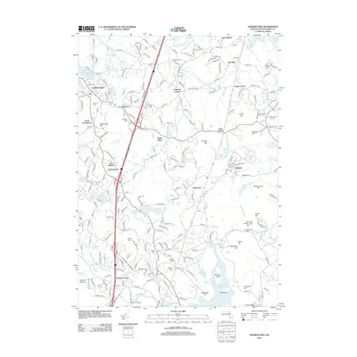
2012 Map of Georgetown
USGS Topo · Published 2012About this map
Georgetown sits at the heart of this landscape, surrounded by an intricate network of waterways and early settlements in Essex County. The geography is defined by a dense arrangement of small ponds and reservoirs, including the Fish Brook Reservoir and Mile Brook Reservoir, which speak to the region's historical water management and milling heritage at Glen Mills and Leightons Corner. The map captures a high level of suburban detail while preserving the locations of ancestral sites like the Rowley Burial Ground and Harmony Cem.
Find a feature on this map
86 named features on this map. Tap any name to fly to it.
Don’t see what you’re looking for? This feature index may not catch every label — zoom into the map to look around manually.
Map Details
Editions of this 2012 Georgetown Map
This is the sole edition of this map. No revisions or reprints were ever made.
Other maps of this area

1886 · Lawrence
USGS Topo · 1:62,500

1888 · Newburyport
USGS Topo · 1:62,500

1888 · Haverhill
USGS Topo · 1:62,500

1888 · Lawrence
USGS Topo · 1:62,500

1888 · Salem
USGS Topo · 1:62,500

1890 · Haverhill
USGS Topo · 1:62,500

1890 · Newburyport
USGS Topo · 1:62,500

1893 · Salem
USGS Topo · 1:62,500

1893 · Lawrence
USGS Topo · 1:62,500

1893 · Haverhill
USGS Topo · 1:62,500