Old Maps of West Whately, Whately for Metal Detecting
Plan your next treasure hunt with 26 historic maps of West Whately. Find old homesites, ghost towns, trails, and gathering spots that may be lost to time — perfect for identifying promising metal detecting locations.
- Locate forgotten sites: Uncover places like long-lost settlements, abandoned rail lines, or gathering spots.
- Plan better hunts: Use map overlays combined with LiDAR or satellite views to narrow in on historically rich areas.
- Made for detectorists: Thousands of hobbyists use these maps to discover relics, coins, and hidden history.
Use these historic maps to boost your research and find new opportunities beneath the surface of West Whately.
West Whately, Whately maps
(26)- 1885 Map of Northampton
 1885 Northampton1885 Print · USGSThe Pioneer Valley in the late 1800s was a hub of academic and industrial energy centered on the Connecticut River. Genealogists can trace family roots through hamlets like Hockanum and Loudville or locate early campus sites like the Agricultural College.
 - 1886 Map of Northampton
 1886 Northampton1886 Print · USGSThe Pioneer Valley in the mid-1880s is captured here at a peak of rail expansion and educational growth. Researchers can trace the early footprints of the Agricultural College, the industrial works at Haydenville, and the landmark Insane Asylum.
 - 1891 Map of Northampton
 1891 Northampton1891 Print · USGSThe Pioneer Valley in the early nineties shows a landscape of river-driven industry and rising academic centers. Genealogists can trace family roots through old settlements like Bay State Village and Hockanum, or locate early campus sites at the Agricultural College.
 - 1893 Map of Northampton
 1893 Northampton1893 Print · USGSHampshire County in the late nineteenth century is a landscape of thriving mill towns and emerging college campuses. Trace the industrial operations at Factory Hollow or locate old crossings like the Smith Ferry and the Ferry at Hatfield.
 - 1895 Map of Northampton
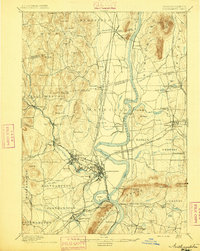 1895 Northampton1895 Print · USGSThe Pioneer Valley is captured here in the late nineteenth century, showing a landscape of burgeoning industrial villages and prestigious colleges. Researchers can trace the early rail networks like the Williamsburg Br. or locate historic sites like the Insane Asylum and Hockanum.10 unique versions available
 - 1896 Map of Holyoke
 1896 Holyoke1896 Print · USGSThe Pioneer Valley and the eastern Berkshire foothills thrive in the 1890s as a complex network of industrial towns and upland farming communities. Historians can trace early infrastructure through the Bisbee Mill, the Agricultural College, and the prominent Ox Bow on the Connecticut River.
 - 1897 Map of Holyoke
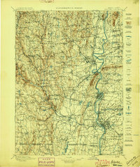 1897 Holyoke1897 Print · USGSThe Pioneer Valley and surrounding highlands thrive in the 1890s, caught here at the height of the region's industrial and agricultural development. Genealogists and historians can trace family roots through dozens of hill towns and river settlements, from Agricultural College in Amherst to the mills of Holyoke and the remote tracks of the Athol Br. R. R..
 - 1901 Map of Holyoke
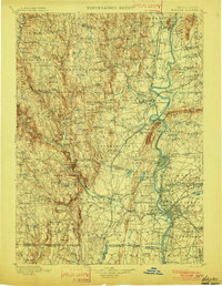 1901 Holyoke1901 Print · USGSThe Pioneer Valley and surrounding highlands thrive at the turn of the century, showing a landscape defined by mill towns and early rail networks. Genealogists and historians can trace old homesteads and local landmarks like Bisbee Mill, South Ferry, and the Agricultural College.4 unique versions available
 - 1935 Map of Williamsburg
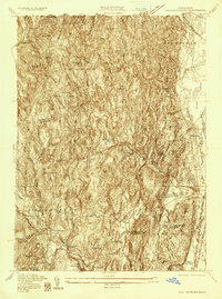 1935 Williamsburg1935 Print · USGSThe hills of Western Massachusetts are captured here in the mid-1930s as the rail and river economy of the Pioneer Valley persisted. Researchers can trace historic schoolhouses like Poland Sch, the rail terminus at Williamsburg Station, and several family-named landmarks including Joe Herrick Hill.
 - 1941 Map of Williamsburg
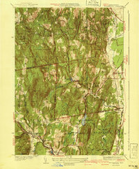 1941 Williamsburg1941 Print · USGSFranklin and Hampshire counties appear in the early 1940s, showing the intersection of industrial rail towns and upland forests. Researchers can trace the rail line to the Williamsburg Sta or find family landmarks like Petticoat Hill and West Whately.3 unique versions available
 - 1943 Map of Holyoke
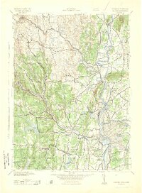 1943 Holyoke1943 Print · USGSThe Pioneer Valley and the eastern Berkshires are captured here in the early 1940s, showing a robust network of river-side industry and hill-country forests. Researchers can locate vanished landmarks and institutional grounds like Northampton State Hospital, Barnes Airport, and the Nat Gd Rifle Range.
 - 1948 Map of Albany, 1951 Print
 1948 Albany1951 Print · USGSThe Hudson and Connecticut River valleys are captured here in the late 1940s, showing the vital rail and water corridors of the Northeast. You can trace the Boston and Maine tracks past Mt Greylock or locate early settlements like Great Barrington and Bennington.
 - 1948 Map of Williamsburg, 1958 Print
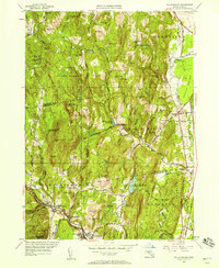 1948 Williamsburg1958 Print · USGSThe Mill River valley and eastern hills of Franklin County are captured just after the war, showing the industrial core at Williamsburg and Haydenville. Genealogists can locate old rural centers like the Poland Sch or family burials at Whately Center Cem and Southpart Cem.2 unique versions available
 - 1956 Map of Albany, 1968 Print
 1956 Albany1968 Print · USGSThe industrial heart of the Northeast is revealed in the mid-1950s, from the Hudson Valley to the Connecticut River. Researchers can trace the legacy of the Quabbin Reservoir, locate Westover Air Force Base, or follow the Rutland RR through the Green Mountains.2 unique versions available
 - 1957 Map of Albany
 1957 Albany1957 Print · USGSThe Tri-State region and Connecticut River Valley are captured here during a period of significant postwar growth and infrastructure expansion. Genealogists and historians can trace the rail-and-river economy through landmarks like the Boston and Maine railroad, Quabbin Reservoir, and Westover Air Force Base.
 - 1959 Map of Albany
 1959 Albany1959 Print · USGSThe Hudson and Connecticut River valleys are captured here during the late fifties, showing the region's dense rail networks and massive water projects. Researchers can trace the New York State Thruway or locate local landmarks like Mt Greylock and the Quabbin Reservoir.
 - 1962 Map of Albany
 1962 Albany1962 Print · USGSThe Hudson and Connecticut River valleys meet the Green Mountains and Berkshires in this mid-century overview of the Northeast. Genealogists and historians can trace the industrial hearts of Albany and Springfield or locate features like Quabbin Reservoir and Westover Air Force Base.
 - 1964 Map of Williamsburg, 1966 Print
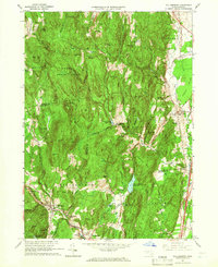 1964 Williamsburg1966 Print · USGSThe Pioneer Valley foothills and Hill Towns come to life in the mid-1960s, showing the intersection of rail, river, and mountain. Genealogists can trace family roots through the Whately Center Cem or locate the old Williamsburg Station along the Boston and Maine Railroad.4 unique versions available
 - 1975 Map of Williamsburg, 1981 Print
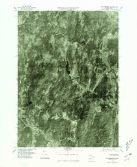 1975 Williamsburg1981 Print · USGSWilliamsburg and the surrounding hill towns appear in high-altitude detail during the mid-seventies. Local historians can trace the building footprints in Williamsburg, find the residential clusters of Searsville, and follow the course of the Mill River.
 - 1985 Map of Holyoke, 1986 Print
 1985 Holyoke1986 Print · USGSThe Pioneer Valley and surrounding uplands appear here in the mid-eighties, showing a landscape defined by the Connecticut River and modern highway expansion. Genealogists and historians can trace rail lines like the Central Vermont Railway and locate regional landmarks from Mount Tom State Reservation to the Quabbin Reservoir.2 unique versions available
 - 1990 Map of Williamsburg
 1990 Williamsburg1990 Print · USGSIn the Pioneer Valley during the late twentieth century, the landscape transitioned from the rural hills of Williamsburg to the growing University of Massachusetts campus. Genealogists can trace family names at Whately Center Cem or Riverside Cem and find industrial landmarks like Factory Hollow.2 unique versions available
 - 2012 Map of Williamsburg, 2012 Print
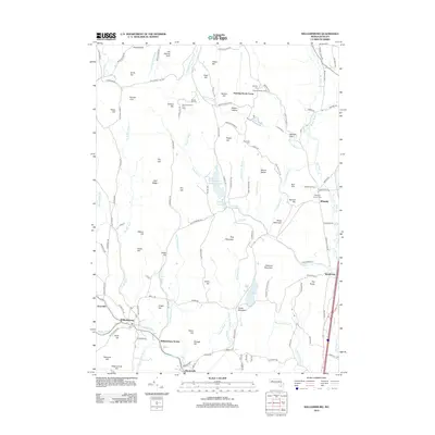 2012 Williamsburg2012 Print · USGSHampshire County's hill towns and river valleys are captured here in the early twenty-first century as they maintain their historic character. Researchers can trace local lineage through Whately Center Cem, locate the former Williamsburg Station, and identify old family holdings like Quontquont Farm.
 - 2015 Map of Williamsburg, 2015 Print
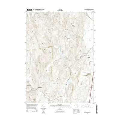 2015 Williamsburg2015 Print · USGSMid-century Massachusetts life centers on the valley villages and upland reservoirs of Hampshire County. Researchers can trace family history through Cricket Hill Cem, locate the old Williamsburg Station, and explore the terrain around Roaring Brook Camp and Searsville.
 - 2018 Map of Williamsburg, 2018 Print
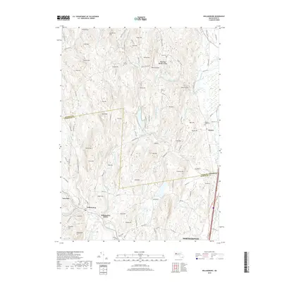 2018 Williamsburg2018 Print · USGSHampshire and Franklin counties meet in this western Massachusetts hill country during the late twenty-teens. Genealogists can locate family landmarks like Boyden Cemetery and South Part Cemetery or trace the early rail connections at Williamsburg Station.
 - 2021 Map of Williamsburg, 2021 Print
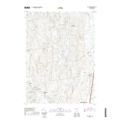 2021 Williamsburg2021 Print · USGSHampshire County at the start of the 2020s shows a landscape shaped by upland ridges and a complex network of reservoirs. Genealogists and local historians can trace burial sites like Old Village Hill Cemetery or locate the site of Williamsburg Station along the Mill River.
Showing maps 1-25 of 26
Top cities near West Whately
- Chicopee historical maps
- Holyoke historical maps
- Amherst historical maps
- Northampton historical maps
- Ludlow historical maps
- Greenfield historical maps
See more
Frequently asked questions
- What are the different types of historical maps available for West Whately?
- What is the oldest map of West Whately?
- Where can I purchase historical maps of West Whately for my home or office?
- Where can I download high-res historical maps of West Whately?
- Are there historical topographic maps available for West Whately?
- Is there historical aerial imagery available for West Whately?
- Where are historical maps of West Whately sourced from?