Old Maps of West Groton, Groton for Hiking & Exploration
Hike through history with 23 historic maps of West Groton. Explore old trails, ghost towns, and forgotten backroads — perfect for outdoor adventurers and local explorers.
- Rediscover forgotten places: Map out old mining camps, roads, and footpaths that no longer exist on modern maps.
- Layer with modern tools: Combine with LiDAR or satellite views to plan hikes through historical terrain.
- Made for exploration: Popular among hikers, overlanders, and local history lovers.
Use these maps to find adventure and explore the hidden past of West Groton.
West Groton, Groton maps
(23)- 1893 Map of Groton, 1905 Print
 1893 Groton1905 Print · USGSNorthern Massachusetts and the New Hampshire borderlands are shown here in the late nineteenth century as a hub of river industry and rail commerce. Researchers can trace historic sites like Shaker Village, the Groton School, and manufacturing hubs at Paper Mill Village.8 unique versions available
 - 1935 Map of Groton
 1935 Groton1935 Print · USGSCrossing the New Hampshire border in the 1930s, this area was a bustling hub of rail transport and riverside industry. Researchers can trace the legacy of communal life at Shaker Village, locate the campus of Groton School, or follow the lines of the Boston and Maine RR through towns like Pepperell and Shirley.
 - 1935 Map of Shirley
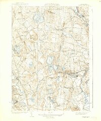 1935 Shirley1935 Print · USGSThe Nashua River valley during the mid-1930s shows a region defined by its rail connections and hilltop villages. Genealogists can trace family sites near Shirley Center, the Industrial School, and cemeteries like St Leo Cem.3 unique versions available
 - 1936 Map of Groton
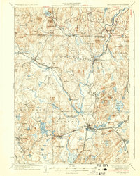 1936 Groton1936 Print · USGSNorthern Middlesex County and southern New Hampshire appear here in the mid-1930s, showing a landscape shaped by river power and a dense rail network. Researchers can trace historic sites like the Shaker Village and Groton School, or locate old depots at Townsend Harbor and Ayer.3 unique versions available
 - 1939 Map of Shirley
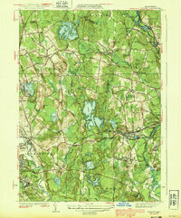 1939 Shirley1939 Print · USGSWorcester and Middlesex counties are shown in the late thirties, when rail lines and river valleys defined the region's industrial and social life. Genealogists and researchers can locate the Industrial School, family-named landmarks like Kezar Hill, and numerous cemeteries including St Cecelia Cemetery.3 unique versions available
 - 1943 Map of Fitchburg
 1943 Fitchburg1943 Print · USGSSouthern New Hampshire and northern Massachusetts are captured during the war years, showing a landscape of river-powered mill towns and mountain trails. You can trace family roots in Peterboro, locate the historic Groton School, or study the rail lines of the Boston & Maine RR.
 - 1948 Map of Boston
 1948 Boston1948 Print · USGSEastern Massachusetts and southern New Hampshire appear at an industrial peak in the late 1940s, just as suburban growth began to accelerate. Genealogists and historians can trace rail lines like the Boston and Albany RR or locate coastal landmarks like Graves Lighthouse and Fort Devens.2 unique versions available
 - 1949 Map of Shirley
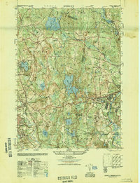 1949 Shirley1949 Print · USGSPost-war central Massachusetts reveals its military and rural character as Fort Devens expands near the Nashua River. Genealogists and historians can trace the Shaker Cemetery, the Industrial School, and the legacy of the Boston and Maine Railroad.
 - 1950 Map of Shirley, 1958 Print
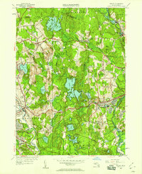 1950 Shirley1958 Print · USGSMid-century development spreads through the Worcester and Middlesex county lines during this era of growth. Genealogists and local historians can trace family plots in St Cecelia Cemetery or locate old school sites like the White Sch and the Industrial School.
 - 1955 Map of Shirley
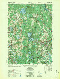 1955 Shirley1955 Print · USGSCentral Massachusetts at mid-century shows the significant expansion of military life and rail transit near the Nashua River. Trace local family roots at St Leo Cem or explore the extensive footprint of Fort Devens Military Reservation and the Boston and Maine Railroad.2 unique versions available
 - 1956 Map of Boston, 1967 Print
 1956 Boston1967 Print · USGSThe Massachusetts coastline and industrial interior are seen here during the mid-century peak of suburban and highway expansion. Researchers can trace historic harbor defenses like Fort Revere, local landmarks such as Faneuil Hall, and the vast Parker River National Wildlife Refuge.6 unique versions available
 - 1958 Map of Boston
 1958 Boston1958 Print · USGSEastern Massachusetts and southern New Hampshire are shown at the height of the industrial era, before the full expansion of the interstate system. Trace coastal defenses at Fort Warren, historic rail lines like the Boston and Maine, and the development of the Mass. 128 corridor.2 unique versions available
 - 1961 Map of Boston
 1961 Boston1961 Print · USGSThe Massachusetts coastline and its industrial interior are detailed here in the mid-twentieth century, from the Monadnock highlands to Cape Cod. Researchers can trace the rail routes of the Boston and Maine or locate landmarks like Fort Devens and the Wachusett Reservoir.2 unique versions available
 - 1965 Map of Shirley, 1968 Print
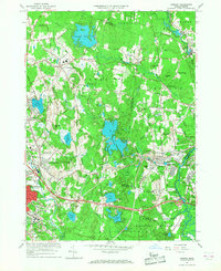 1965 Shirley1968 Print · USGSShirley and the surrounding Worcester County uplands are captured here in the mid-sixties as military operations and industrial growth intersected. Genealogists and historians can trace the footprint of Fort Devens, the State Industrial Sch for Boys, and the village layout of Shirley Center.3 unique versions available
 - 1975 Map of Shirley, 1981 Print
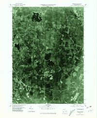 1975 Shirley1981 Print · USGSNorthern Worcester County in the mid-seventies is documented here through high-altitude aerial photography. Trace the rural-to-suburban transition around Lunenburg and the riverbanks of the Nashua River and Squannacook River.
 - 1984 Map of Lowell
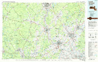 1984 Lowell1984 Print · USGSThe Merrimack Valley industrial corridor is captured here in the mid-eighties, showing the interconnected growth of Lowell, Nashua, and Lawrence. Genealogists and historians can trace the paths of the Boston and Maine railroad or locate institutional landmarks like Merrimack College and the Fort Devens Military Reservation.
 - 1988 Map of Ayer
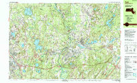 1988 Ayer1988 Print · USGSThe Nashua River valley in the late eighties shows a region defined by major institutions and deep-rooted villages. Researchers can trace the layout of the Fort Devens Military Reservation, locate the historic Shaker Village, and find family sites near Shirley Center or the Groton Sch.2 unique versions available
 - 1988 Map of Lowell
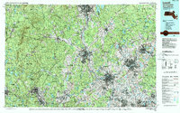 1988 Lowell1988 Print · USGSThe industrial corridor of the Merrimack Valley is captured in the late eighties as it transitioned into a modern technological and residential hub. Genealogists and researchers can trace the urban layouts of Lowell and Nashua alongside landmarks like Massabesic Lake and Miller State Park.2 unique versions available
 - 2012 Map of Shirley, 2012 Print
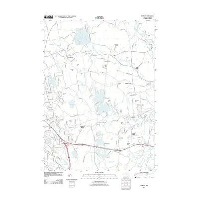 2012 Shirley2012 Print · USGSThe Worcester County borderlands near the turn of the twenty-first century reveal a landscape of historical enclaves and orchard hills. Researchers can trace the layout of Shaker Village and locate family burial sites at Brick Tavern Cem or Evergreen Cem.
 - 2015 Map of Shirley, 2015 Print
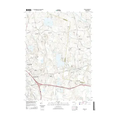 2015 Shirley2015 Print · USGSThe transition from central Massachusetts mill towns to rural hill country is captured here during the mid-2010s. Researchers can trace the heritage of the Shaker Village, locate ancestors at Brick Tavern Cem, and follow the rails through Lunenburg Station.
 - 2018 Map of Shirley, 2018 Print
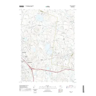 2018 Shirley2018 Print · USGSLeominster and Shirley are seen here in recent years, documenting the intersection of historic town centers and the suburban landscape. Researchers can trace local genealogy and land use through sites like Brick Tavern Cem, Goodrichville, and Houghtons Mill Pond.
 - 2021 Map of Shirley, 2021 Print
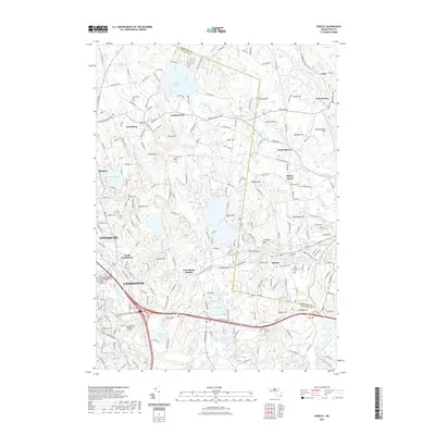 2021 Shirley2021 Print · USGSNorth Central Massachusetts at the start of the 2020s shows a landscape of post-industrial towns and high-elevation swamps. Researchers can trace the layout of family-named hills and historic burial grounds like Fish Street Cem and the South Cem.
 - 2024 Map of Shirley, 2024 Print
 2024 Shirley2024 Print · USGSThe North Nashua River valley and the transition from industrial Leominster to rural Shirley are captured in this modern survey. Researchers can trace local history through numerous burial sites like North Burial Ground and settlements such as Goodrichville or Shirley Center.
End of results
Showing maps 1-23 of 23
Top cities near West Groton
- Nashua historical maps
- Leominster historical maps
- Fitchburg historical maps
- Marlborough historical maps
- Chelmsford historical maps
- Merrimack historical maps
See more
Frequently asked questions
- What are the different types of historical maps available for West Groton?
- What is the oldest map of West Groton?
- Where can I purchase historical maps of West Groton for my home or office?
- Where can I download high-res historical maps of West Groton?
- Are there historical topographic maps available for West Groton?
- Is there historical aerial imagery available for West Groton?
- Where are historical maps of West Groton sourced from?