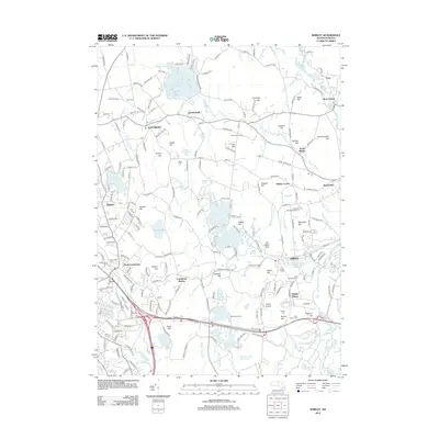
2012 Map of Shirley
USGS Topo · Published 2012About this map
Lunenburg and Shirley anchor this landscape during a period of modern development that still preserves its agrarian and historical roots. The map shows a region defined by complex water systems, where the Nashua River and Squannacook River frame a network of brooks and ponds. Significant clusters of activity appear at Lunenburg Station and the distinctive Shaker Village, which maintains its unique footprint near Shaker Hill Cem.
Find a feature on this map
209 named features on this map. Tap any name to fly to it.
Don’t see what you’re looking for? This feature index may not catch every label — zoom into the map to look around manually.
Map Details
Editions of this 2012 Shirley Map
This is the sole edition of this map. No revisions or reprints were ever made.
Other maps of this area

1885 · Worcester
USGS Topo · 1:62,500

1886 · Worcester
USGS Topo · 1:62,500

1887 · Marlboro
USGS Topo · 1:62,500

1887 · Fitchburg
USGS Topo · 1:62,500

1889 · Marlboro
USGS Topo · 1:62,500

1889 · Fitchburg
USGS Topo · 1:62,500

1892 · Worcester
USGS Topo · 1:62,500

1893 · Fitchburg
USGS Topo · 1:62,500

1893 · Groton
USGS Topo · 1:62,500

1896 · Marlboro
USGS Topo · 1:62,500