Old Maps of Lakeville, Massachusetts for Genealogy
Trace your family roots with 52 historic maps of Lakeville. These high-res maps reveal old neighborhoods, homesites, landmarks, and streets — helping you uncover where your ancestors lived and how the area evolved over time.
- Explore historic neighborhoods: Identify where your relatives may have lived in the 1800s or 1900s.
- Compare maps over time: Trace the changes in streets, buildings, and landmarks for multi-generational research.
- Perfect for genealogy & ancestry research: Used by family historians and researchers to map out lineage and migration.
These maps are an incredible resource for exploring your personal connection to Lakeville's past.
Lakeville, MA maps
(52)- 1885 Map of Middleboro
 1885 Middleboro1885 Print · USGSPlymouth County at the height of its nineteenth-century rail expansion is anchored by the hub at Middleboro. Genealogists and historians can trace defunct stops like Haskins Station and Rock Station or locate families in The Green and Paper Mill Village.
 - 1885 Map of Taunton
 1885 Taunton1885 Print · USGSTaunton and the surrounding Bristol County townships are shown here during a period of significant industrial and rail expansion. Researchers can trace historic family landmarks and local institutions like the State Hospital for the Insane, Dighton Rock, and the Swansea Factory.
 - 1888 Map of Taunton
 1888 Taunton1888 Print · USGSIn the late nineteenth century, this region of Bristol County was a bustling industrial and rail center. Researchers can trace the extensive Old Colony Railroad network through specialized stops like Britanniaville Station and Cranes Station.
 - 1888 Map of Middleboro
 1888 Middleboro1888 Print · USGSPlymouth County in the late nineteenth century is a bustling intersection of iron and water, where the Old Colony Railroad branches reach across the landscape. Genealogists and historians can trace the early footprints of Paper Mill Village, The Green, and Haskins Station before modern development changed these local centers.
 - 1893 Map of Taunton
 1893 Taunton1893 Print · USGSTaunton flourished as a rail and manufacturing powerhouse during the late nineteenth century, situated at the nexus of the Old Colony Railroad system. Genealogists and historians can trace the early industrial sites like the Copper Works and Swansea Factory or find local landmarks such as Dighton Rock and the town Almshouse.7 unique versions available
 - 1893 Map of Middleboro
 1893 Middleboro1893 Print · USGSThe Plymouth County landscape in the 1890s is captured here as a major rail hub. Genealogists can trace family footprints near Rock Station, the mills of Paper Mill Village, and along the shores of Assawompsett Pond.8 unique versions available
 - 1916 Map of Middleboro
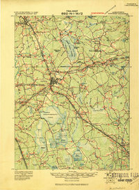 1916 Middleboro1916 Print · USGSSoutheastern Massachusetts at the height of its rail-and-mill era shows a dense network of stations and wetlands. Trace the Old Colony Railroad lines to sites like Haskins Station, Paper Mill Village, and the Lakeville State Sanatarium.
 - 1918 Map of Middleboro, 1921 Print
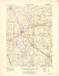 1918 Middleboro1921 Print · USGSSoutheastern Massachusetts at the end of the Great War reveals a landscape defined by cranberry bogs, cedar swamps, and a dense network of Old Colony Railroad lines. Genealogists and historians can trace rail stops like Haskins Station, the grounds of the Lakeville State Sanatarium, and old villages like The Green.
 - 1918 Map of Taunton, 1921 Print
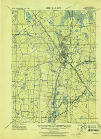 1918 Taunton1921 Print · USGSSoutheastern Massachusetts at the close of the Great War is a dense network of industrial rail lines and riverside villages. You can trace the path of the Old Colony Railroad Main Line or locate local landmarks like the Copper Works and Annawon Rock.
 - 1937 Map of Assawompset Pond
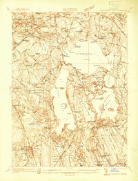 1937 Assawompset Pond1937 Print · USGSThe Lakeville and Freetown area in the late thirties is defined by its massive pond systems and a transition toward regional water management. Genealogists can locate family burial grounds like Strowbridge Cem or trace the early industrial footprint of Bettys Neck Cranberry Co and the Taunton Water Works.
 - 1937 Map of Middleboro
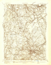 1937 Middleboro1937 Print · USGSThe rail-and-river hub of Middleborough and its surrounding cranberry bogs are frozen in time just before the war. Researchers can trace family roots at Purchase Cem, locate the Thompsonville Sch, or follow the New York New Haven and Hartford railroad line.
 - 1940 Map of Bridgewater
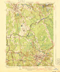 1940 Bridgewater1940 Print · USGSSoutheastern Massachusetts at the dawn of the 1940s reveals a landscape shaped by state institutions and the cranberry industry. Researchers can trace family sites near The Green, find the Fair Grounds, or locate old schoolhouses like the Pleasant Street School.3 unique versions available
 - 1941 Map of Assawompset Pond
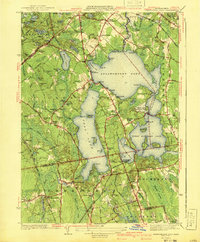 1941 Assawompset Pond1941 Print · USGSSoutheastern Massachusetts in the early 1940s is defined here by its massive freshwater pond systems and the infrastructure of the local waterworks. Genealogists can trace family footprints across dozens of local landmarks like Haskins Cem, Bettys Neck, and the East Freetown Sta.3 unique versions available
 - 1942 Map of New Bedford
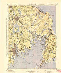 1942 New Bedford1942 Print · USGSSoutheastern Massachusetts at the start of the 1940s shows a region defined by maritime defense and industrial rail corridors. Genealogists and historians can trace the massive Camp Edwards boundary, old rail stops like Rock Station, and vanished local industry at Paper Mill Village.2 unique versions available
 - 1943 Map of Assonet
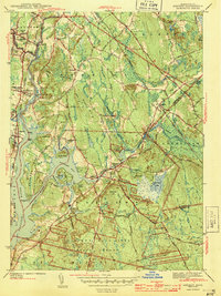 1943 Assonet1943 Print · USGSBristol County at the height of the war years reveals a landscape defined by tidal rivers and the steady pulse of the New Haven and Hartford Railroad. Researchers can trace ancestral sites from Dighton Rock to several family plots like Winslow Cem and the Old Quaker Cem.2 unique versions available
 - 1943 Map of Providence
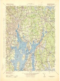 1943 Providence1943 Print · USGSNarragansett Bay and the industrial Blackstone Valley appear here in the midst of the Second World War. Genealogists and researchers can trace local landmarks like Lonsdale Station, the St Marys Reservoir, and the Rhode Island State Airport.
 - 1947 Map of Providence, 1948 Print
 1947 Providence1948 Print · USGSSouthern New England is captured in the mid-1940s, showing a landscape defined by busy industrial ports and expanding military installations. Researchers can trace the rail lines of the N.Y. N.H. & H. RR or locate coastal defenses like Fort Adams and Quonset Point.5 unique versions available
 - 1948 Map of Providence, 1951 Print
 1948 Providence1951 Print · USGSSouthern New England’s coastal reaches are captured here in the late 1940s, from the industrial heart of Providence to the tip of Provincetown. Genealogists and historians can trace rail lines like the Central Vermont Railway and locate active military sites such as Otis Air Force Base and Fort Rodman.
 - 1948 Map of Assawompset Pond, 1957 Print
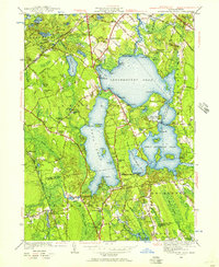 1948 Assawompset Pond1957 Print · USGSSoutheastern Massachusetts in the late 1940s was defined by its massive glacial pond systems and the cranberry industry. Genealogists and historians can trace the community life of Lakeville and Freetown through family-named landmarks like Strowbridge Cem and Sampsons Corner.
 - 1949 Map of Bridgewater, 1957 Print
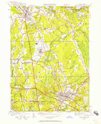 1949 Bridgewater1957 Print · USGSMiddleborough and Bridgewater appear here at a mid-century turning point, shaped by rail corridors and the cranberry industry. Genealogists can locate family names at Mt Prospect Cem or trace rural education at the North Lakeville Sch and Pleasant Street Sch.
 - 1951 Map of Assonet
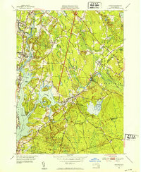 1951 Assonet1951 Print · USGSSoutheastern Massachusetts in the early fifties reveals a landscape defined by the winding Taunton River and its industrial and agricultural shoreline. Researchers can trace family history through dozens of landmarks like the Assonet Burial Ground, Dighton Cem, and the County Agricultural School.3 unique versions available
 - 1957 Map of Providence
 1957 Providence1957 Print · USGSCoastal New England at the height of the mid-century era shows a landscape shaped by maritime industry and Cold War defense. Genealogists and historians can trace the reach of the New York, New Haven & Hartford RR and locate legacy sites like Fort Adams and Quonset Point Naval Air Station.
 - 1958 Map of Providence
 1958 Providence1958 Print · USGSThe Rhode Island and Massachusetts coastlines are shown in detail during the late 1950s, from the urban cores to the tips of the islands. Researchers can trace the mid-century footprint of Quonset Point Naval Air Station, the defense works at Fort Adams, and the rail network of the New York, New Haven and Hartford RR.
 - 1962 Map of Bridgewater, 1964 Print
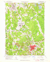 1962 Bridgewater1964 Print · USGSPlymouth County enters a period of post-war suburban and industrial growth as the rail lines of the New York New Haven and Hartford still anchor the local economy. Trace the footprints of Paper Mill Village, the Lakeville State Sanatorium, and old local landmarks like the Pratt Free Sch.3 unique versions available
 - 1963 Map of Providence
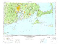 1963 Providence1963 Print · USGSSouthern New England's coastal and industrial heartland is captured here in the early sixties, from the Rhode Island mainland to the far reaches of the Cape. Researchers can trace mid-century growth in Providence or locate landmarks on Marthas Vineyard and Nantucket Island.
Showing maps 1-25 of 52
Top cities near Lakeville
- Brockton historical maps
- New Bedford historical maps
- Fall River historical maps
- Plymouth historical maps
- Taunton historical maps
- Dartmouth historical maps
See more
Top neighborhoods of Lakeville
- Canedys Corner historical maps
- Precinct historical maps
- North Lakeville historical maps
- Hilltop Acres historical maps
- Huckleberry Shores historical maps
- Indian Shore historical maps
See more
Frequently asked questions
- What are the different types of historical maps available for Lakeville?
- What is the oldest map of Lakeville?
- Where can I purchase historical maps of Lakeville for my home or office?
- Where can I download high-res historical maps of Lakeville?
- Are there historical topographic maps available for Lakeville?
- Is there historical aerial imagery available for Lakeville?
- Where are historical maps of Lakeville sourced from?