Old Maps of Ashburnham, Massachusetts for Hiking & Exploration
Hike through history with 51 historic maps of Ashburnham. Explore old trails, ghost towns, and forgotten backroads — perfect for outdoor adventurers and local explorers.
- Rediscover forgotten places: Map out old mining camps, roads, and footpaths that no longer exist on modern maps.
- Layer with modern tools: Combine with LiDAR or satellite views to plan hikes through historical terrain.
- Made for exploration: Popular among hikers, overlanders, and local history lovers.
Use these maps to find adventure and explore the hidden past of Ashburnham.
Ashburnham, MA maps
(51)- 1887 Map of Fitchburg
 1887 Fitchburg1887 Print · USGSThe hills of Worcester County were a beehive of rail and industry when this survey was conducted. Trace the original routes of the Fitchburg Railroad and find long-established local centers like Wachusett Village, Converse Ville, and Rollstone Hill.
 - 1889 Map of Fitchburg
 1889 Fitchburg1889 Print · USGSNorth-central Massachusetts and southern New Hampshire are captured here in the late Victorian era as industry and rail expanded. Genealogists can trace family homesteads near Whitmanville or locate specific rail depots like Ashburnham Junction and Westminster Station.
 - 1893 Map of Fitchburg
 1893 Fitchburg1893 Print · USGSNorth-central Massachusetts at the close of the nineteenth century was a complex network of industrial valley towns and highland rail junctions. You can trace the path of the Cheshire Railroad as it winds past Lake Monomonac or explore the early street layouts of Fitchburg and Leominster.7 unique versions available
 - 1931 Map of Fitchburg
 1931 Fitchburg1931 Print · USGSThe Massachusetts and New Hampshire border region was a network of mill villages and mountain ridges in the early thirties. Genealogists and historians can locate rural landmarks like School No 8, the High Bridge, and the Boston and Maine rail line.
 - 1935 Map of Fitchburg
 1935 Fitchburg1935 Print · USGSThe industrial corridor and border hills of north-central Massachusetts and southern New Hampshire are captured here in the mid-1930s. Trace the intricate rail networks of the Old Colony Railroad and find local landmarks like School No 8 or Rollstone Hill.3 unique versions available
 - 1936 Map of Fitchburg
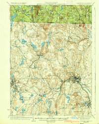 1936 Fitchburg1936 Print · USGSNorthwestern Massachusetts and southern New Hampshire are shown here during the mid-1930s, featuring a mature network of rail lines and industrial river towns. Genealogists can locate family landmarks like School No 9 or trace the early paths of the Fitchburg Railroad and Old Colony Railroad Fitchburg Branch.2 unique versions available
 - 1943 Map of Fitchburg
 1943 Fitchburg1943 Print · USGSSouthern New Hampshire and northern Massachusetts are captured during the war years, showing a landscape of river-powered mill towns and mountain trails. You can trace family roots in Peterboro, locate the historic Groton School, or study the rail lines of the Boston & Maine RR.
 - 1946 Map of Fitchburg
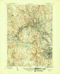 1946 Fitchburg1946 Print · USGSThe industrial corridor of the Nashua River valley is captured here in the mid-1940s. Genealogists and historians can trace family locations near Waites Corner, Wachusett Sta, or the historic St Bernard Cem.4 unique versions available
 - 1946 Map of Gardner
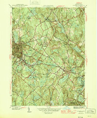 1946 Gardner1946 Print · USGSMid-century Worcester County comes alive in this survey of the region's industrial and rail corridors. Trace the path of the Boston and Maine RR through manufacturing centers and find local landmarks like Heywood Memorial Hospital and Mt Pleasant Cem.2 unique versions available
 - 1946 Map of Ashburnham
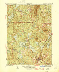 1946 Ashburnham1946 Print · USGSMid-century Worcester County and the New Hampshire border region are captured here in the years just after the war. Genealogists and hikers can trace the original Boston and Maine RR line, locate the Meeting House, or explore the slopes of Mount Watatic.2 unique versions available
 - 1946 Map of Ashby
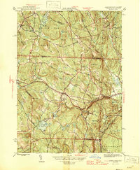 1946 Ashby1946 Print · USGSThe borderlands of New Hampshire and Massachusetts are captured in the mid-1940s, showing a network of upland farms and timbered hills. You can trace family roots through landmarks like Gibson Four Corners, find old burials at Glenwood Cem, or locate the rail stop at Mason Sta.2 unique versions available
 - 1948 Map of Boston
 1948 Boston1948 Print · USGSEastern Massachusetts and southern New Hampshire appear at an industrial peak in the late 1940s, just as suburban growth began to accelerate. Genealogists and historians can trace rail lines like the Boston and Albany RR or locate coastal landmarks like Graves Lighthouse and Fort Devens.2 unique versions available
 - 1950 Map of Ashby, 1952 Print
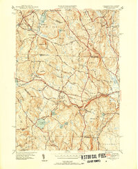 1950 Ashby1952 Print · USGSThe Massachusetts-New Hampshire borderlands near Ashby are captured in the mid-twentieth century as the region balanced its rural character with state forest expansion. Genealogists can locate family sites near Glenwood Cem, the Lyman Sch, and the old rail stop at Mason Sta.4 unique versions available
 - 1950 Map of Ashburnham, 1952 Print
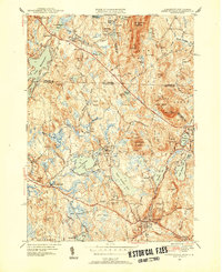 1950 Ashburnham1952 Print · USGSMid-century Worcester County comes to life as a landscape of interconnected glacial lakes and upland ridges during the postwar years. Genealogists and local historians can trace the foundations of Ashburnham, Lane Village, and the remote Old North Ashburnham Sta.4 unique versions available
 - 1953 Map of Fitchburg
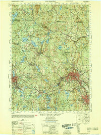 1953 Fitchburg1953 Print · USGSMid-century Worcester County comes to life during a period of steady growth and established rail commerce. Local historians can trace family roots at Prospect Hill Cemetery or explore the development of Blackburne Village and the Fitchburg Leominster Airport.
 - 1954 Map of Gardner, 1955 Print
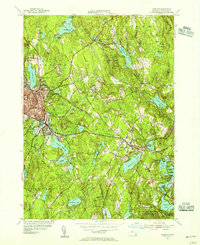 1954 Gardner1955 Print · USGSThe industrial and lakeside character of Worcester County comes alive in the mid-fifties, showing the rail-connected settlements before modern highway expansion. Genealogists and historians can trace the developments around Gardner, from the corridors of the Boston and Maine to local landmarks like Woodside Cem and Academy Hill.3 unique versions available
 - 1954 Map of Fitchburg, 1956 Print
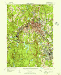 1954 Fitchburg1956 Print · USGSThe industrial corridor of the Nashua River valley is captured here in the mid-1950s, showing the dense rail networks of Fitchburg and Leominster. Local researchers can trace family landmarks like Forest Hill Cemetery or find historic works such as Carter Mill.3 unique versions available
 - 1956 Map of Boston, 1967 Print
 1956 Boston1967 Print · USGSThe Massachusetts coastline and industrial interior are seen here during the mid-century peak of suburban and highway expansion. Researchers can trace historic harbor defenses like Fort Revere, local landmarks such as Faneuil Hall, and the vast Parker River National Wildlife Refuge.6 unique versions available
 - 1958 Map of Boston
 1958 Boston1958 Print · USGSEastern Massachusetts and southern New Hampshire are shown at the height of the industrial era, before the full expansion of the interstate system. Trace coastal defenses at Fort Warren, historic rail lines like the Boston and Maine, and the development of the Mass. 128 corridor.2 unique versions available
 - 1961 Map of Boston
 1961 Boston1961 Print · USGSThe Massachusetts coastline and its industrial interior are detailed here in the mid-twentieth century, from the Monadnock highlands to Cape Cod. Researchers can trace the rail routes of the Boston and Maine or locate landmarks like Fort Devens and the Wachusett Reservoir.2 unique versions available
 - 1965 Map of Ashby, 1968 Print
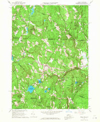 1965 Ashby1968 Print · USGSThe hill towns of the Massachusetts borderlands are captured here in the mid-1960s, showing a landscape of state forests and quiet village centers. Genealogists can locate family plots in Glenwood Cem or West Cem and trace the paths through South Village and Gibson Four Corners.4 unique versions available
 - 1965 Map of Ashburnham, 1968 Print
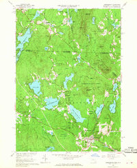 1965 Ashburnham1968 Print · USGSThe Worcester County highlands during the mid-sixties show a landscape of glacial lakes and quiet hill towns. Genealogists can locate family sites near St Dennis Cem or trace the early industrial footprint of Factory Village and Cushing Academy.5 unique versions available
 - 1969 Map of Fitchburg, 1972 Print
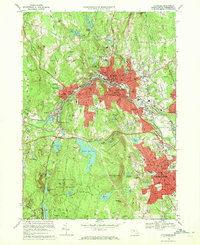 1969 Fitchburg1972 Print · USGSThe industrial hubs of Fitchburg and Leominster are captured here during a period of mid-century growth and urban density. Genealogists and local historians can trace legacy sites like St Joseph Cem, the Fitchburg State College campus, and the rail junction at Wachusett Station.2 unique versions available
 - 1970 Map of Gardner, 1972 Print
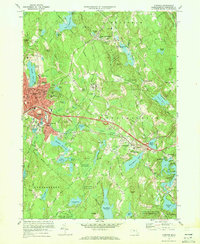 1970 Gardner1972 Print · USGSIn the early 1970s, the industrial character of Worcester County remained anchored by the Boston and Maine Railroad. Researchers can trace the legacy of major institutions like the Gardner State Hospital and Crystal Lake Cem among the hills of Westminster and Gardner.2 unique versions available
 - 1975 Map of Ashburnham, 1981 Print
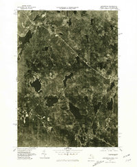 1975 Ashburnham1981 Print · USGSNorthern Worcester County and the New Hampshire borderlands are visible in this mid-seventies aerial study. Local historians can trace the early residential footprints of Lane Village and Wellville or examine the shoreline of Lake Monomonac.
Showing maps 1-25 of 51
Top cities near Ashburnham
- Leominster historical maps
- Fitchburg historical maps
- Gardner historical maps
- Holden historical maps
- Milford historical maps
- Clinton historical maps
See more
Top neighborhoods of Ashburnham
- Camp Collier historical maps
- South Ashburnham historical maps
- Old North Ashburnham Station historical maps
- Lane Village historical maps
- North Ashburnham historical maps
- Wellville historical maps
See more
Frequently asked questions
- What are the different types of historical maps available for Ashburnham?
- What is the oldest map of Ashburnham?
- Where can I purchase historical maps of Ashburnham for my home or office?
- Where can I download high-res historical maps of Ashburnham?
- Are there historical topographic maps available for Ashburnham?
- Is there historical aerial imagery available for Ashburnham?
- Where are historical maps of Ashburnham sourced from?