2000s (21st Century) Maps of Bolton, Massachusetts
Explore 10 historic maps of Bolton from the 2000s (21st Century). These maps offer a rare glimpse into what life looked like during the 2000s — showing old roads, neighborhoods, homes, and landmarks that have changed or disappeared over time.
Whether you're researching your family's past, planning a metal detecting trip, or studying how Bolton's landscape evolved across the 2000s, these high-resolution maps are a powerful tool for exploring the history of this region.
- Focus on a specific era: All maps on this page are from the 2000s, giving you a focused view of this time period.
- See what’s changed: Compare century-old streets, trails, and buildings to today's modern landscape using overlays and satellite layers.
- Research with precision: Use these maps for genealogy, historical research, land use analysis, or educational projects.
- View, download, or print: Maps are fully viewable online in high resolution, and can be downloaded or printed for your own records.
Start exploring Bolton's history through authentic maps from the 2000s. This is your window into the past.
Bolton, MA maps
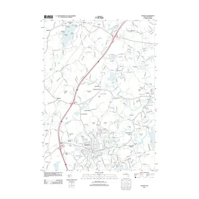
(10)- 2012 Map of Clinton, 2012 Print
 2012 Clinton2012 Print · USGSCovers Bolton, including Leominster, Clinton, and other nearby areas
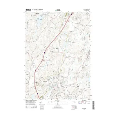
 - 2012 Map of Hudson, 2012 Print
 2012 Hudson2012 Print · USGSCovers Bolton, including Marlborough, Hudson, and other nearby areas
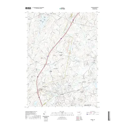
 - 2015 Map of Hudson, 2015 Print
 2015 Hudson2015 Print · USGSCovers Bolton, including Marlborough, Hudson, and other nearby areas
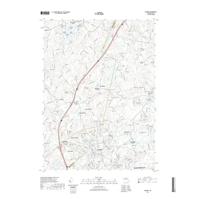
 - 2015 Map of Clinton, 2015 Print
 2015 Clinton2015 Print · USGSCovers Bolton, including Leominster, Clinton, and other nearby areas
 - 2018 Map of Clinton, 2018 Print
 2018 Clinton2018 Print · USGSCovers Bolton, including Leominster, Clinton, and other nearby areas
 - 2018 Map of Hudson, 2018 Print
 2018 Hudson2018 Print · USGSCovers Bolton, including Marlborough, Hudson, and other nearby areas
 - 2021 Map of Hudson, 2021 Print
 2021 Hudson2021 Print · USGSCovers Bolton, including Marlborough, Hudson, and other nearby areas
 - 2021 Map of Clinton, 2021 Print
 2021 Clinton2021 Print · USGSCovers Bolton, including Leominster, Clinton, and other nearby areas
 - 2024 Map of Hudson, 2024 Print
 2024 Hudson2024 Print · USGSThe Hudson and Bolton area of Massachusetts is mapped here in the early twenty-first century, showing a landscape rich in rail history and conservation. Researchers can trace historic cemeteries like Old South Burial Ground and early transit lines including the Assabet River Rail Trl.
 - 2024 Map of Clinton, 2024 Print
 2024 Clinton2024 Print · USGSClinton and Lancaster sit at a crossroads of early Massachusetts industrial and institutional history in this modern survey. Genealogists and historians can trace numerous legacy sites including the Old Settlers Cem, Saint Johns Cem, and the grounds of Atlantic Union College.
End of results
Showing maps 1-10 of 10
Top cities near Bolton
- Worcester historical maps
- Lowell historical maps
- Framingham historical maps
- Leominster historical maps
- Fitchburg historical maps
- Marlborough historical maps
See more
Top neighborhoods of Bolton
- Brockway Corner historical maps
- Camp Resolute historical maps
- Fryville historical maps
- East Bolton historical maps
Frequently asked questions
- What are the different types of historical maps available for Bolton?
- What is the oldest map of Bolton?
- Where can I purchase historical maps of Bolton for my home or office?
- Where can I download high-res historical maps of Bolton?
- Are there historical topographic maps available for Bolton?
- Is there historical aerial imagery available for Bolton?
- Where are historical maps of Bolton sourced from?