2000s (21st Century) Maps of Fitchburg, Massachusetts
Explore 15 historic maps of Fitchburg from the 2000s (21st Century). These maps offer a rare glimpse into what life looked like during the 2000s — showing old roads, neighborhoods, homes, and landmarks that have changed or disappeared over time.
Whether you're researching your family's past, planning a metal detecting trip, or studying how Fitchburg's landscape evolved across the 2000s, these high-resolution maps are a powerful tool for exploring the history of this region.
- Focus on a specific era: All maps on this page are from the 2000s, giving you a focused view of this time period.
- See what’s changed: Compare century-old streets, trails, and buildings to today's modern landscape using overlays and satellite layers.
- Research with precision: Use these maps for genealogy, historical research, land use analysis, or educational projects.
- View, download, or print: Maps are fully viewable online in high resolution, and can be downloaded or printed for your own records.
Start exploring Fitchburg's history through authentic maps from the 2000s. This is your window into the past.
Fitchburg, MA maps
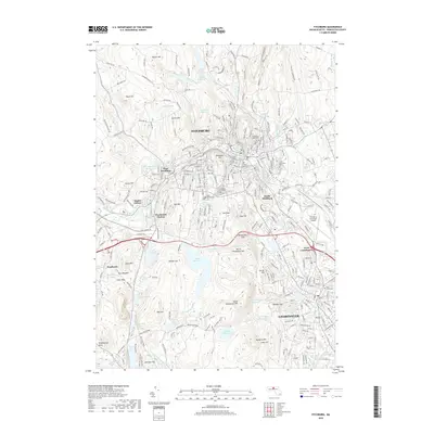
(15)- 2012 Map of Fitchburg, 2012 Print
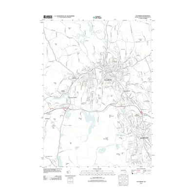 2012 Fitchburg2012 Print · USGSCovers Fitchburg, including Leominster, Lunenburg, and other nearby areas
 - 2012 Map of Ashby, 2012 Print
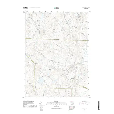
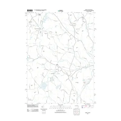 2012 Ashby2012 Print · USGSCovers Fitchburg, including Lunenburg, Townsend, and other nearby areas
 - 2012 Map of Shirley, 2012 Print
 2012 Shirley2012 Print · USGSCovers Fitchburg, including Leominster, Groton, and other nearby areas
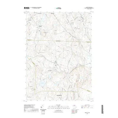
 - 2015 Map of Ashby, 2015 Print
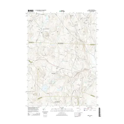 2015 Ashby2015 Print · USGSCovers Fitchburg, including Lunenburg, Townsend, and other nearby areas
 - 2015 Map of Shirley, 2015 Print
 2015 Shirley2015 Print · USGSCovers Fitchburg, including Leominster, Groton, and other nearby areas
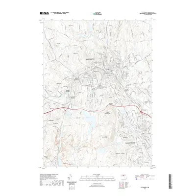
 - 2015 Map of Fitchburg, 2015 Print
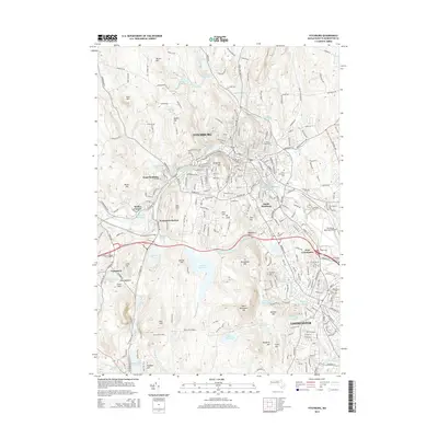 2015 Fitchburg2015 Print · USGSCovers Fitchburg, including Leominster, Lunenburg, and other nearby areas
 - 2018 Map of Shirley, 2018 Print
 2018 Shirley2018 Print · USGSCovers Fitchburg, including Leominster, Groton, and other nearby areas
 - 2018 Map of Ashby, 2018 Print
 2018 Ashby2018 Print · USGSCovers Fitchburg, including Lunenburg, Townsend, and other nearby areas
 - 2018 Map of Fitchburg, 2018 Print
 2018 Fitchburg2018 Print · USGSCovers Fitchburg, including Leominster, Lunenburg, and other nearby areas
 - 2021 Map of Ashby, 2021 Print
 2021 Ashby2021 Print · USGSCovers Fitchburg, including Lunenburg, Townsend, and other nearby areas
 - 2021 Map of Fitchburg, 2021 Print
 2021 Fitchburg2021 Print · USGSCovers Fitchburg, including Leominster, Lunenburg, and other nearby areas
 - 2021 Map of Shirley, 2021 Print
 2021 Shirley2021 Print · USGSCovers Fitchburg, including Leominster, Groton, and other nearby areas
 - 2024 Map of Ashby, 2024 Print
 2024 Ashby2024 Print · USGSStraddling the Massachusetts and New Hampshire line in the 2020s, this area reveals a highland landscape of forested hills and historic cemeteries. Researchers can trace ancestral sites at Ashby First Parish Burial Ground and follow the path of the Old Railroad Trl near Willard Brook State Forest.
 - 2024 Map of Fitchburg, 2024 Print
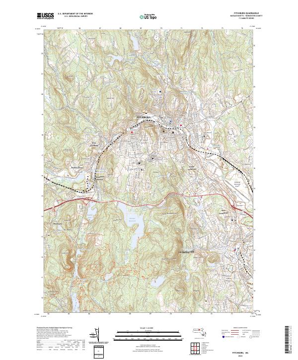 2024 Fitchburg2024 Print · USGSFitchburg and Leominster are shown in detail during their modern era of growth, where urban centers meet the rising hills of Worcester County. Researchers can trace historic family plots and local landmarks from Fitchburg State University to Saint Bernard's Cem and Waites Corner.
 - 2024 Map of Shirley, 2024 Print
 2024 Shirley2024 Print · USGSThe North Nashua River valley and the transition from industrial Leominster to rural Shirley are captured in this modern survey. Researchers can trace local history through numerous burial sites like North Burial Ground and settlements such as Goodrichville or Shirley Center.
End of results
Showing maps 1-15 of 15
Top cities near Fitchburg
- Leominster historical maps
- Marlborough historical maps
- Gardner historical maps
- Hudson historical maps
- Holden historical maps
- Milford historical maps
See more
Top neighborhoods of Fitchburg
- South Fitchburg historical maps
- Waites Corner historical maps
- Wachusett Station historical maps
- West Fitchburg historical maps
- Pierce Farm historical maps
Frequently asked questions
- What are the different types of historical maps available for Fitchburg?
- What is the oldest map of Fitchburg?
- Where can I purchase historical maps of Fitchburg for my home or office?
- Where can I download high-res historical maps of Fitchburg?
- Are there historical topographic maps available for Fitchburg?
- Is there historical aerial imagery available for Fitchburg?
- Where are historical maps of Fitchburg sourced from?