Old Maps of New Braintree, Massachusetts for Metal Detecting
Plan your next treasure hunt with 30 historic maps of New Braintree. Find old homesites, ghost towns, trails, and gathering spots that may be lost to time — perfect for identifying promising metal detecting locations.
- Locate forgotten sites: Uncover places like long-lost settlements, abandoned rail lines, or gathering spots.
- Plan better hunts: Use map overlays combined with LiDAR or satellite views to narrow in on historically rich areas.
- Made for detectorists: Thousands of hobbyists use these maps to discover relics, coins, and hidden history.
Use these historic maps to boost your research and find new opportunities beneath the surface of New Braintree.
New Braintree, MA maps
(30)- 1887 Map of Barre
 1887 Barre1887 Print · USGSWorcester County at the turn of the century shows a landscape defined by the convergence of rail lines and river power. Genealogists and local researchers can trace the early industrial footprints of Old Furnace, Parkers Mills, and the rail junction at Cold Brook Springs.
 - 1889 Map of Barre
 1889 Barre1889 Print · USGSWorcester County in the late nineteenth century is a landscape of thriving mill villages and intersecting rail lines. Trace the industrial roots of Gilbertville and Old Furnace or locate family homesteads near Mandell and Nichewaug.
 - 1894 Map of Barre
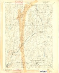 1894 Barre1894 Print · USGSWorcester County in the late nineteenth century is defined here by its bustling river towns and the convergence of two major rail lines. Researchers can trace ancestral roots through family-named landmarks like Hawes Hill or explore the early industrial layout of Old Furnace and Barre Plains.7 unique versions available
 - 1908 Map of Ware
 1908 Ware1908 Print · USGSCentral Massachusetts at the turn of the century reveals the Swift River Valley decades before the Quabbin Reservoir changed the landscape forever. Trace the lost footprints of Enfield and Dana, or follow the Central Vermont RR through Greenwich Village and Ware.2 unique versions available
 - 1942 Map of Ware
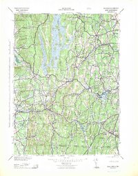 1942 Ware1942 Print · USGSCentral Massachusetts and the Connecticut border are captured here during the early years of the war, just as the landscape was being reshaped by the Quabbin Reservoir. Researchers can trace rail-era industry and local landmarks like the Lead Mine and the Bald Peak Hospital.
 - 1946 Map of Ware
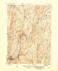 1946 Ware1946 Print · USGSCentral Massachusetts was a landscape of river-powered industry and upland farms in the years following the war. Genealogists and historians can trace rail-to-river connections through Gilbertville, locate rural landmarks like School No 2, and explore the terrain around Wickaboag Pond.2 unique versions available
 - 1946 Map of North Brookfield
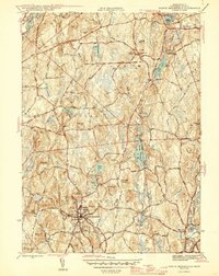 1946 North Brookfield1946 Print · USGSWorcester County townships like North Brookfield and Hillsville are captured here just after the war, showing a landscape defined by industry and agriculture. Researchers can locate family landmarks including Pine Grove Cem, Port Hill Sch, and the Boston and Albany RR line.2 unique versions available
 - 1948 Map of Albany, 1951 Print
 1948 Albany1951 Print · USGSThe Hudson and Connecticut River valleys are captured here in the late 1940s, showing the vital rail and water corridors of the Northeast. You can trace the Boston and Maine tracks past Mt Greylock or locate early settlements like Great Barrington and Bennington.
 - 1952 Map of North Brookfield, 1954 Print
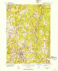 1952 North Brookfield1954 Print · USGSCentral Massachusetts in the early fifties reveals a landscape of high hills and tight-knit villages. Genealogists and historians can trace family plots at Green Hollow Cem, locate the grounds of St Josephs Abbey, or follow old routes like the Old Turnpike Road.4 unique versions available
 - 1954 Map of Ware, 1955 Print
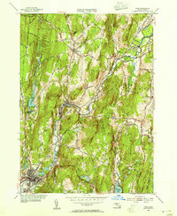 1954 Ware1955 Print · USGSThe Ware River valley in the mid-1950s reveals a landscape of industrial mill villages and rail corridors. Researchers can trace the heritage of Gilbertville and Wheelwright, or locate family sites near Hardwick Cem and Wickaboag Pond.3 unique versions available
 - 1956 Map of Albany, 1968 Print
 1956 Albany1968 Print · USGSThe industrial heart of the Northeast is revealed in the mid-1950s, from the Hudson Valley to the Connecticut River. Researchers can trace the legacy of the Quabbin Reservoir, locate Westover Air Force Base, or follow the Rutland RR through the Green Mountains.2 unique versions available
 - 1957 Map of Albany
 1957 Albany1957 Print · USGSThe Tri-State region and Connecticut River Valley are captured here during a period of significant postwar growth and infrastructure expansion. Genealogists and historians can trace the rail-and-river economy through landmarks like the Boston and Maine railroad, Quabbin Reservoir, and Westover Air Force Base.
 - 1959 Map of Albany
 1959 Albany1959 Print · USGSThe Hudson and Connecticut River valleys are captured here during the late fifties, showing the region's dense rail networks and massive water projects. Researchers can trace the New York State Thruway or locate local landmarks like Mt Greylock and the Quabbin Reservoir.
 - 1962 Map of Albany
 1962 Albany1962 Print · USGSThe Hudson and Connecticut River valleys meet the Green Mountains and Berkshires in this mid-century overview of the Northeast. Genealogists and historians can trace the industrial hearts of Albany and Springfield or locate features like Quabbin Reservoir and Westover Air Force Base.
 - 1967 Map of North Brookfield, 1969 Print
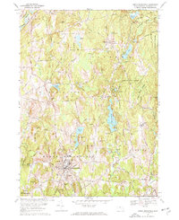 1967 North Brookfield1969 Print · USGSNorth Brookfield and the surrounding Worcester County highlands are captured here in the late sixties, showing a landscape of small villages and monastic retreats. Researchers can trace historic cemeteries like Green Hollow Cem, find the Walnut Sch, or follow the Penn Central rail line through Oakham.3 unique versions available
 - 1969 Map of Ware, 1972 Print
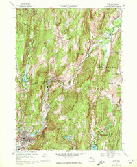 1969 Ware1972 Print · USGSThe Ware River valley in the late sixties reveals a landscape of industrial villages and a dense rail network. Genealogists and historians can trace family locations through Hardwick Cem, identify the Eagle Hill Sch, or follow the Penn Central tracks through Wheelwright.2 unique versions available
 - 1975 Map of Ware, 1981 Print
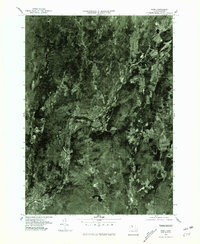 1975 Ware1981 Print · USGSCentral Massachusetts in the mid-seventies reveals a landscape of river-valley industry and upland farms. Trace the development along the Ware River through Gilbertville and Wheelwright or explore the rural heights of Ragged Hill.
 - 1975 Map of North Brookfield, 1981 Print
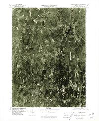 1975 North Brookfield1981 Print · USGSNorth Brookfield and Oakham are shown in this mid-1970s aerial survey, documenting the central Massachusetts landscape in high detail. Genealogists and historians can trace old property boundaries and local landmarks like Hillsville, Brooks Pond, and Tufts Hill.
 - 1982 Map of North Brookfield, 1984 Print
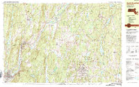 1982 North Brookfield1984 Print · USGSWorcester County's rural character is on full display in the early 1980s, before modern suburban expansion altered the hills around North Brookfield. Genealogists and historians can trace family locations through numerous landmarks like St Josephs Abbey, Walnut Grove Cem, and the Eagle Hill Sch.2 unique versions available
 - 1985 Map of Holyoke, 1986 Print
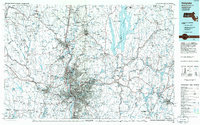 1985 Holyoke1986 Print · USGSThe Pioneer Valley and surrounding uplands appear here in the mid-eighties, showing a landscape defined by the Connecticut River and modern highway expansion. Genealogists and historians can trace rail lines like the Central Vermont Railway and locate regional landmarks from Mount Tom State Reservation to the Quabbin Reservoir.2 unique versions available
 - 2012 Map of Ware, 2012 Print
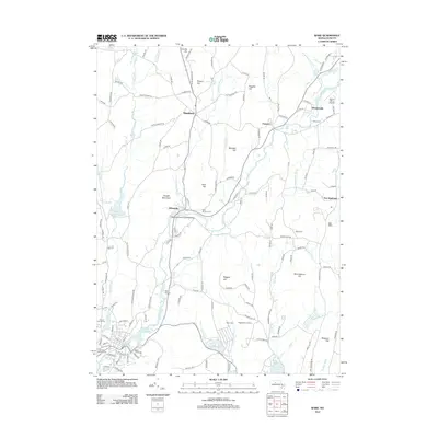 2012 Ware2012 Print · USGSHampshire County in the early 2000s remains defined by its historic river villages and upland orchards. Researchers can trace local heritage through the Ware-Hardwick Covered Bridge, Old Saint Williams Cem, and the village of Hardwick.
 - 2012 Map of North Brookfield, 2012 Print
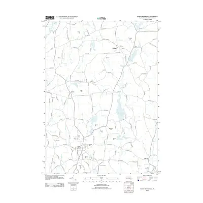 2012 North Brookfield2012 Print · USGSThe hill towns of Worcester County are shown here in the early twenty-first century, featuring a landscape shaped by orchards and small reservoirs. Researchers can locate numerous family-named landmarks like Hales Hill and burial sites such as Green Hollow Cem and Evergreen Cem.
 - 2015 Map of North Brookfield, 2015 Print
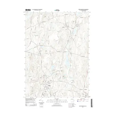 2015 North Brookfield2015 Print · USGSNorth Brookfield and Oakham are shown in this Worcester County study from the mid-2010s, detailing a landscape of interconnected hills and reservoirs. Genealogists and local historians can locate several family and community burial sites, including Green Hollow Cem, Evergreen Cem, and Hale Cem.
 - 2015 Map of Ware, 2015 Print
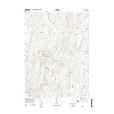 2015 Ware2015 Print · USGSThe industrial corridor of the Ware River is documented here as it appeared in the mid-2010s, showing the enduring character of central Massachusetts mill towns. Researchers can trace local heritage through landmarks like the Ware-Hardwick Covered Bridge and ancestral sites such as Aspen Grove Cem.
 - 2018 Map of North Brookfield, 2018 Print
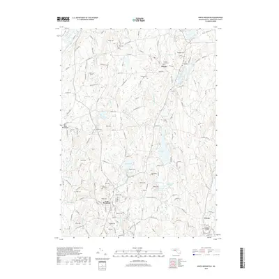 2018 North Brookfield2018 Print · USGSNorth Brookfield and Oakham are captured in the late 2010s, showcasing a landscape of established villages and interconnected rural hills. Researchers can locate numerous family burial sites such as Green Hollow Cem and Evergreen Cem alongside landmarks like B&B Farm Airport.
Showing maps 1-25 of 30
Top cities near New Braintree
- Gardner historical maps
- Southbridge historical maps
- Holden historical maps
- Belchertown historical maps
- Oxford historical maps
- Charlton historical maps
See more
Frequently asked questions
- What are the different types of historical maps available for New Braintree?
- What is the oldest map of New Braintree?
- Where can I purchase historical maps of New Braintree for my home or office?
- Where can I download high-res historical maps of New Braintree?
- Are there historical topographic maps available for New Braintree?
- Is there historical aerial imagery available for New Braintree?
- Where are historical maps of New Braintree sourced from?