Old Maps of Harrisville Township, Michigan for Academic Research
Study the evolution of Harrisville Township with 28 high-resolution historic maps. Whether you're teaching, researching, or modeling changes in land use, these maps provide essential visual documentation of urban, environmental, and geographic change.
- Analyze long-term change: Track patterns in development, transportation, and natural features.
- Ideal for environmental or urban studies: Support academic projects with primary historical map data.
- Use in the classroom or lab: Educators and researchers rely on these maps to bring historical context to life.
These maps are a powerful tool for teaching, research, and visualizing how Harrisville Township has changed over the decades.
Harrisville Township, MI maps
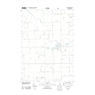
(28)- 1954 Map of Tawas City, 1968 Print
 1954 Tawas City1968 Print · USGSCoastal life along Lake Huron was defined by a mix of military aviation and hydroelectric power in the mid-fifties. Researchers can trace the river dams like Cooke Dam, the layout of Wurtsmith AFB, and the coastal mining operations at Alabaster.4 unique versions available
 - 1958 Map of Tawas City
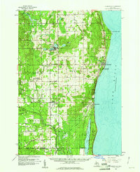
 1958 Tawas City1958 Print · USGSThe Lake Huron shoreline and northern Michigan timberlands come into focus in the late fifties, during the expansion of the Cold War. Genealogists and historians can trace rail lines like the Detroit and Mackinac, find regional landmarks like the Lumbermans Memorial Monument, and locate coastal facilities including Wurtsmith AFB.2 unique versions available
 - 1959 Map of Harrisville, 1961 Print
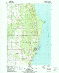
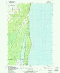
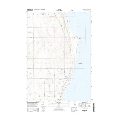
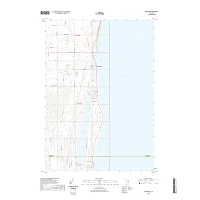
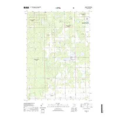
 1959 Harrisville1961 Print · USGSThe Alcona County coast and its timbered interior are captured here at the end of the 1950s as the regional economy balanced forestry and lakefront tourism. Genealogists can trace family names through rural sites like St Annes Cem, Calvary Ch, and the Indian Mission near the Iosco County line.3 unique versions available
 - 1983 Map of Hubbard Lake, 1984 Print
 1983 Hubbard Lake1984 Print · USGSThe shorelines of Alcona and Alpena Counties come to life in this early 1980s overview of the Lake Huron coast and its deep timberlands. Researchers can trace historic rail routes like the Detroit and Mackinac or locate quiet inland hubs such as Barton City and Killmaster.
 - 1989 Map of Harrisville
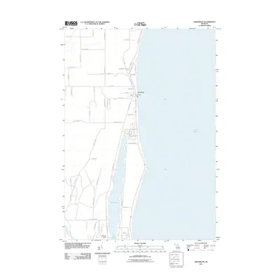
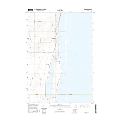
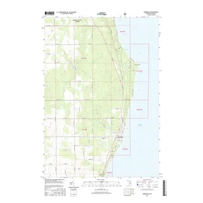
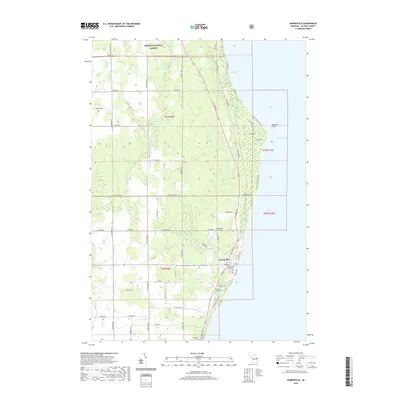
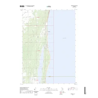
 1989 Harrisville1989 Print · USGSCoastal Alcona County comes into focus in the late 1980s, centered on the harbor at Harrisville and the historic lighthouse at Sturgeon Point. Genealogists and local historians can trace the Detroit and Mackinac rail line, Westtown Cem, and the Lighthouse guiding Lake Huron mariners.
 - 1989 Map of Mikado
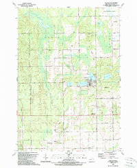
 1989 Mikado1989 Print · USGSAlcona County's forested interior is captured here in the late eighties, showing the rural communities and public lands west of Lake Huron. Genealogists and historians can locate the Oscoda Indian Mission, the County Line Sch, and the old Au Sable State Forest Railroad Grade.
 - 1989 Map of Lincoln
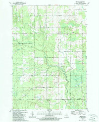
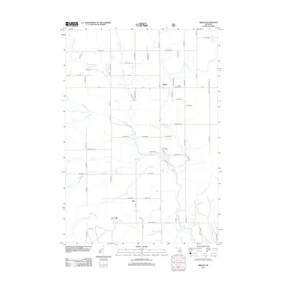
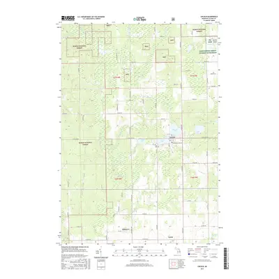
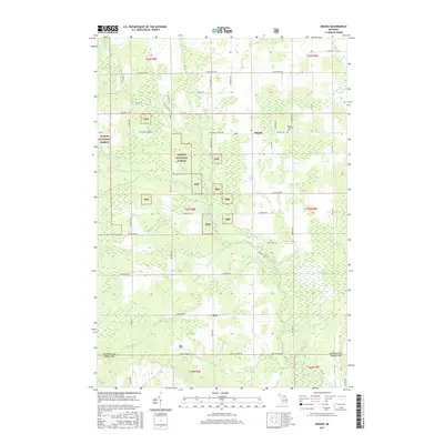
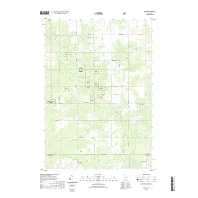
 1989 Lincoln1989 Print · USGSAlcona County in the late 1980s reveals a landscape defined by the Huron National Forest and the village of Lincoln. Researchers can trace the Old Railroad Grade or locate local landmarks like the Alcona High Sch, Killmaster, and Gustin.
 - 1989 Map of Greenbush
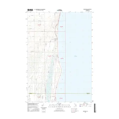
 1989 Greenbush1989 Print · USGSCoastal Alcona County comes into focus in the late 1980s as it transitions from the shores of Lake Huron to the deep woods. Trace the family lands along Ridley Road or explore the waterfront developments near Greenbush and Cedar Lake.
 - 2011 Map of Greenbush, 2011 Print
 2011 Greenbush2011 Print · USGSCovers Harrisville Township, including Greenbush, Greenbush Township, and other nearby areas
 - 2012 Map of Mikado, 2012 Print
 2012 Mikado2012 Print · USGSCovers Harrisville Township, including Mikado, Greenbush Township, and other nearby areas
 - 2012 Map of Harrisville, 2012 Print
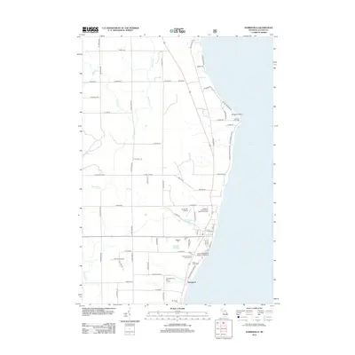 2012 Harrisville2012 Print · USGSCovers Harrisville Township, including Harrisville, Haynes Township, and other nearby areas
 - 2012 Map of Lincoln, 2012 Print
 2012 Lincoln2012 Print · USGSCovers Harrisville Township, including Gustin, Lincoln, and other nearby areas
 - 2014 Map of Greenbush, 2014 Print
 2014 Greenbush2014 Print · USGSCovers Harrisville Township, including Greenbush, Greenbush Township, and other nearby areas
 - 2014 Map of Mikado, 2014 Print
 2014 Mikado2014 Print · USGSCovers Harrisville Township, including Mikado, Greenbush Township, and other nearby areas
 - 2014 Map of Lincoln, 2014 Print
 2014 Lincoln2014 Print · USGSCovers Harrisville Township, including Gustin, Lincoln, and other nearby areas
 - 2014 Map of Harrisville, 2014 Print
 2014 Harrisville2014 Print · USGSCovers Harrisville Township, including Harrisville, Haynes Township, and other nearby areas
 - 2017 Map of Lincoln, 2017 Print
 2017 Lincoln2017 Print · USGSCovers Harrisville Township, including Gustin, Lincoln, and other nearby areas
 - 2017 Map of Harrisville, 2017 Print
 2017 Harrisville2017 Print · USGSCovers Harrisville Township, including Harrisville, Haynes Township, and other nearby areas
 - 2017 Map of Greenbush, 2017 Print
 2017 Greenbush2017 Print · USGSCovers Harrisville Township, including Greenbush, Greenbush Township, and other nearby areas
 - 2017 Map of Mikado, 2017 Print
 2017 Mikado2017 Print · USGSCovers Harrisville Township, including Mikado, Greenbush Township, and other nearby areas
 - 2019 Map of Greenbush, 2019 Print
 2019 Greenbush2019 Print · USGSCovers Harrisville Township, including Greenbush, Greenbush Township, and other nearby areas
 - 2019 Map of Harrisville, 2019 Print
 2019 Harrisville2019 Print · USGSCovers Harrisville Township, including Harrisville, Haynes Township, and other nearby areas
 - 2019 Map of Mikado, 2019 Print
 2019 Mikado2019 Print · USGSCovers Harrisville Township, including Mikado, Greenbush Township, and other nearby areas
 - 2019 Map of Lincoln, 2019 Print
 2019 Lincoln2019 Print · USGSCovers Harrisville Township, including Gustin, Lincoln, and other nearby areas
 - 2023 Map of Greenbush, 2023 Print
 2023 Greenbush2023 Print · USGSAlcona County's Lake Huron shoreline is captured here in the early 2020s, showing the developed coast around the village of Greenbush. Researchers can trace local infrastructure and water features from Cedar Lake to the historic namesake Poor Farm Rd.
Showing maps 1-25 of 28
Top cities near Harrisville Township
- Greenbush historical maps
- Alcona historical maps
- Mikado historical maps
- Gustin historical maps
- Harrisville historical maps
- Lincoln historical maps
See more
Top neighborhoods of Harrisville Township
Frequently asked questions
- What are the different types of historical maps available for Harrisville Township?
- What is the oldest map of Harrisville Township?
- Where can I purchase historical maps of Harrisville Township for my home or office?
- Where can I download high-res historical maps of Harrisville Township?
- Are there historical topographic maps available for Harrisville Township?
- Is there historical aerial imagery available for Harrisville Township?
- Where are historical maps of Harrisville Township sourced from?