2020s Maps of Harrisville Township, Michigan
Explore 4 historic maps of Harrisville Township from the 2020s. These maps offer a rare glimpse into what life looked like during the 2020s — showing old roads, neighborhoods, homes, and landmarks that have changed or disappeared over time.
Whether you're researching your family's past, planning a metal detecting trip, or studying how Harrisville Township's landscape evolved across the 2020s, these high-resolution maps are a powerful tool for exploring the history of this region.
- Focus on a specific era: All maps on this page are from the 2020s, giving you a focused view of this time period.
- See what’s changed: Compare century-old streets, trails, and buildings to today's modern landscape using overlays and satellite layers.
- Research with precision: Use these maps for genealogy, historical research, land use analysis, or educational projects.
- View, download, or print: Maps are fully viewable online in high resolution, and can be downloaded or printed for your own records.
Start exploring Harrisville Township's history through authentic maps from the 2020s. This is your window into the past.
Harrisville Township, MI maps
(4)- 2023 Map of Greenbush, 2023 Print
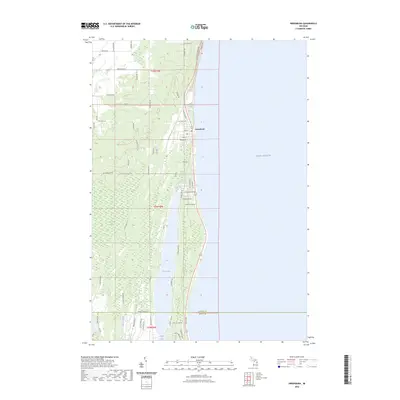 2023 Greenbush2023 Print · USGSAlcona County's Lake Huron shoreline is captured here in the early 2020s, showing the developed coast around the village of Greenbush. Researchers can trace local infrastructure and water features from Cedar Lake to the historic namesake Poor Farm Rd.
 - 2023 Map of Lincoln, 2023 Print
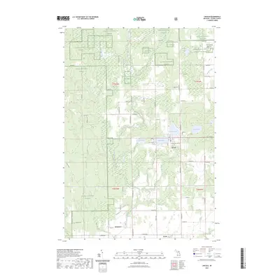 2023 Lincoln2023 Print · USGSAlcona County's lake-rich interior is documented here in the early 2020s, showing the settled areas of Lincoln and Killmaster. Researchers can trace old family lines at Twin Lake Cem and follow the course of the East Branch Pine River through the Huron National Forest.
 - 2023 Map of Mikado, 2023 Print
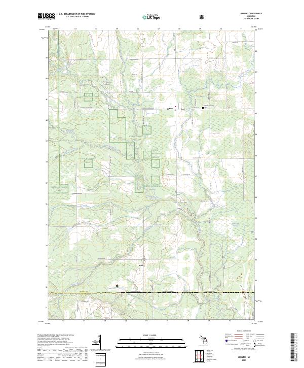 2023 Mikado2023 Print · USGSAlcona County's forested interior is revealed here in the modern era, where the Huron National Forest dominates the landscape. Researchers can locate the Mikado Township Cemetery and trace the paths of the West Branch Pine River and South Branch Pine River through the timberland.
 - 2023 Map of Harrisville, 2023 Print
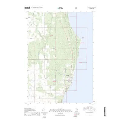 2023 Harrisville2023 Print · USGSHarrisville and the Alcona County shoreline are captured in this contemporary study of Michigan’s eastern coast. Local historians can trace family locations near Westlawn Cem or investigate the terrain surrounding Sturgeon Point and Rolling Hill.
End of results
Showing maps 1-4 of 4
Top cities near Harrisville Township
- Greenbush historical maps
- Alcona historical maps
- Mikado historical maps
- Gustin historical maps
- Harrisville historical maps
- Lincoln historical maps
See more
Top neighborhoods of Harrisville Township
Frequently asked questions
- What are the different types of historical maps available for Harrisville Township?
- What is the oldest map of Harrisville Township?
- Where can I purchase historical maps of Harrisville Township for my home or office?
- Where can I download high-res historical maps of Harrisville Township?
- Are there historical topographic maps available for Harrisville Township?
- Is there historical aerial imagery available for Harrisville Township?
- Where are historical maps of Harrisville Township sourced from?