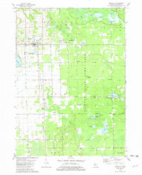
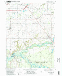
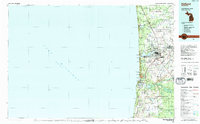
Old Maps of Heath Township, Michigan for Hiking & Exploration
Hike through history with 34 historic maps of Heath Township. Explore old trails, ghost towns, and forgotten backroads — perfect for outdoor adventurers and local explorers.
- Rediscover forgotten places: Map out old mining camps, roads, and footpaths that no longer exist on modern maps.
- Layer with modern tools: Combine with LiDAR or satellite views to plan hikes through historical terrain.
- Made for exploration: Popular among hikers, overlanders, and local history lovers.
Use these maps to find adventure and explore the hidden past of Heath Township.
Heath Township, MI maps
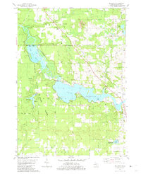
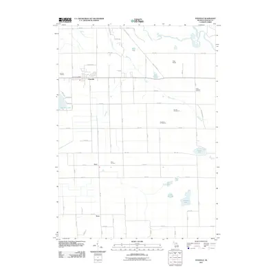
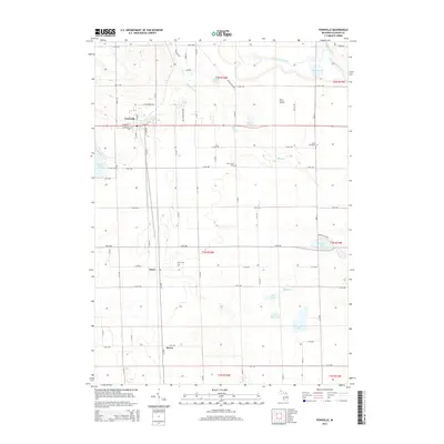
(34)- 1928 Map of Fennville, 1955 Print
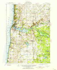 1928 Fennville1955 Print · USGSThe Lake Michigan shoreline and Kalamazoo River delta are captured here in the late 1920s during a peak era of coastal resort development and inland farming. Researchers can locate numerous one-room schoolhouses like Peach Belt Sch and trace the original Pere Marquette rail line through Fennville and New Richmond.4 unique versions available
 - 1931 Map of Fennville
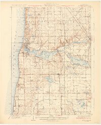 1931 Fennville1931 Print · USGSCoastal Allegan County was a thriving hub of lakefront tourism and rail-based agriculture in the years before the Great Depression. Genealogists and historians can trace family-named schools like Reid Sch and Loomis Sch, or find the Old Saugatuck Light Ho near the river's bend.4 unique versions available
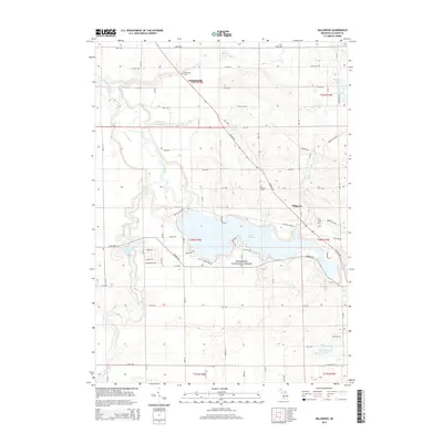
 - 1958 Map of Allegan, 1959 Print
 1958 Allegan1959 Print · USGSAllegan and the surrounding Michigan countryside are captured here in the late fifties, showcasing a landscape of river-fed industry and deep-wooded preserves. Genealogists can trace family roots through dozens of local landmarks like Maple Grove Sch, the Indian Mission, and the Oversel Cem.2 unique versions available
 - 1958 Map of Racine, 1971 Print
 1958 Racine1971 Print · USGSThe Lake Michigan shoreline in the late fifties was a study in contrasts between the industrial bustle of Kenosha and the quiet woods of the Allegan State Forest. Genealogists and historians can trace the urban footprint of Evanston or locate strategic sites like Fort Sheridan and the Wind Point Light.3 unique versions available
 - 1958 Map of Grand Rapids, 1973 Print
 1958 Grand Rapids1973 Print · USGSSouthern Michigan at the peak of the postwar era shows a landscape of burgeoning cities and new interstate highways. Trace family roots and regional growth in Grand Rapids, Battle Creek, and the glacial lake country around Gun Lake or Gull Lake.2 unique versions available
 - 1961 Map of Grand Rapids
 1961 Grand Rapids1961 Print · USGSSouthern Michigan at the dawn of the 1960s reveals a region shaped by major river systems and a robust rail network. Trace mid-century industrial growth and land use from Grand Rapids to the Fort Custer Military Reservation and Gun Lake.
 - 1962 Map of Grand Rapids
 1962 Grand Rapids1962 Print · USGSMid-century Southern Michigan is mapped here at a time of massive growth, showing the expanding urban footprints of Grand Rapids and Lansing. Researchers can trace the legacy of the Grand Trunk Western RR, find historic boundaries of the Fort Custer Military Reservation, or locate sporting camps around Gun Lake.2 unique versions available
 - 1962 Map of Racine
 1962 Racine1962 Print · USGSThe Lake Michigan shoreline in the early sixties reveals a fascinating contrast between the dense industrial rail hubs of RACINE and CHICAGO and the forested dunes of Michigan. Local historians can trace military installations like Fort Sheridan or explore the numerous inland retreats around Paw Paw Lake and Sister Lakes.
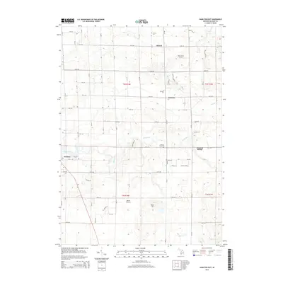
 - 1981 Map of Hamilton East
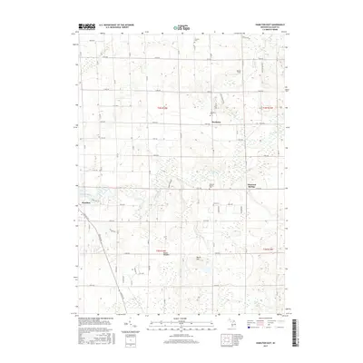
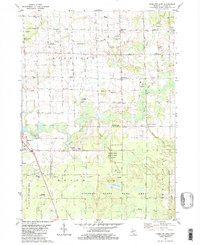 1981 Hamilton East1981 Print · USGSAllegan County in the late 1970s shows a rural landscape where farming, oil extraction, and conservation coexist. Researchers can trace family history at Oakland Cem and Diamond Springs Cem or locate old school sites like Sandy View Sch.2 unique versions available
 - 1981 Map of Millgrove
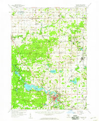
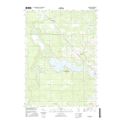
 1981 Millgrove1981 Print · USGSAllegan County's riverfront and conservation lands are captured here in the early eighties as the state game area matured. Genealogists and local historians can trace family sites near Millgrove and Dunningville, or locate the Brookside Cem and Millgrove Cem.
 - 1981 Map of Fennville, 1982 Print
 1981 Fennville1982 Print · USGSThe Chesapeake and Ohio railroad defines this Allegan County landscape in the early eighties. Genealogists and researchers can trace local roots through Pearl Cem, Pearl, and Bravo while exploring the edges of the Ottawa Marsh.
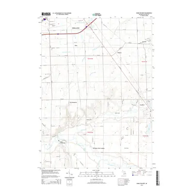
 - 1981 Map of Hamilton West, 1982 Print
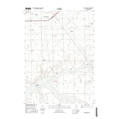
 1981 Hamilton West1982 Print · USGSAllegan County's agricultural heartland and the Kalamazoo River valley are captured here in the early eighties. Genealogists can trace family footprints through numerous rural burial grounds like Old Overisel Cem and Manlius Cem or follow the Chesapeake and Ohio rail stops.2 unique versions available
 - 1982 Map of Holland
 1982 Holland1982 Print · USGSThe Lake Michigan coast in the early eighties shows a refined network of Dutch-influenced settlements and lakeside retreats. Trace the rail lines of the Chesapeake and Ohio or find family landmarks near Noordeloos and New Richmond.
 - 1984 Map of Grand Rapids
 1984 Grand Rapids1984 Print · USGSWest Michigan in the mid-eighties shows a thriving metropolitan core surrounded by expansive state recreation areas and river valleys. Genealogists and local historians can trace developments around Grand Rapids, institutional landmarks like Grand Rapids Bible College, and the quiet reaches of Jordan Lake.
 - 2011 Map of Fennville, 2011 Print
 2011 Fennville2011 Print · USGSCovers Heath Township, including Fennville, Cheshire Township, and other nearby areas
 - 2011 Map of Hamilton West, 2011 Print
 2011 Hamilton West2011 Print · USGSCovers Heath Township, including Holland, Overisel, and other nearby areas
 - 2011 Map of Millgrove, 2011 Print
 2011 Millgrove2011 Print · USGSCovers Heath Township, including Trowbridge Township, Cheshire Township, and other nearby areas
 - 2011 Map of Hamilton East, 2011 Print
 2011 Hamilton East2011 Print · USGSCovers Heath Township, including Bentheim, Diamond Springs, and other nearby areas
 - 2014 Map of Fennville, 2014 Print
 2014 Fennville2014 Print · USGSCovers Heath Township, including Fennville, Cheshire Township, and other nearby areas
 - 2014 Map of Millgrove, 2014 Print
 2014 Millgrove2014 Print · USGSCovers Heath Township, including Trowbridge Township, Cheshire Township, and other nearby areas
 - 2014 Map of Hamilton West, 2014 Print
 2014 Hamilton West2014 Print · USGSCovers Heath Township, including Holland, Overisel, and other nearby areas
 - 2014 Map of Hamilton East, 2014 Print
 2014 Hamilton East2014 Print · USGSCovers Heath Township, including Bentheim, Diamond Springs, and other nearby areas
 - 2017 Map of Hamilton East, 2017 Print
 2017 Hamilton East2017 Print · USGSCovers Heath Township, including Bentheim, Diamond Springs, and other nearby areas
 - 2017 Map of Millgrove, 2017 Print
 2017 Millgrove2017 Print · USGSCovers Heath Township, including Trowbridge Township, Cheshire Township, and other nearby areas
 - 2017 Map of Hamilton West, 2017 Print
 2017 Hamilton West2017 Print · USGSCovers Heath Township, including Holland, Overisel, and other nearby areas
Showing maps 1-25 of 34
Top cities near Heath Township
- Wyoming historical maps
- Holland historical maps
- Byron Township historical maps
- Jamestown historical maps
- Hudsonville historical maps
- Zeeland historical maps
See more
Top neighborhoods of Heath Township
Frequently asked questions
- What are the different types of historical maps available for Heath Township?
- What is the oldest map of Heath Township?
- Where can I purchase historical maps of Heath Township for my home or office?
- Where can I download high-res historical maps of Heath Township?
- Are there historical topographic maps available for Heath Township?
- Is there historical aerial imagery available for Heath Township?
- Where are historical maps of Heath Township sourced from?