2010s Maps of Green Township, Michigan
Explore 24 historic maps of Green Township from the 2010s. These maps offer a rare glimpse into what life looked like during the 2010s — showing old roads, neighborhoods, homes, and landmarks that have changed or disappeared over time.
Whether you're researching your family's past, planning a metal detecting trip, or studying how Green Township's landscape evolved across the 2010s, these high-resolution maps are a powerful tool for exploring the history of this region.
- Focus on a specific era: All maps on this page are from the 2010s, giving you a focused view of this time period.
- See what’s changed: Compare century-old streets, trails, and buildings to today's modern landscape using overlays and satellite layers.
- Research with precision: Use these maps for genealogy, historical research, land use analysis, or educational projects.
- View, download, or print: Maps are fully viewable online in high resolution, and can be downloaded or printed for your own records.
Start exploring Green Township's history through authentic maps from the 2010s. This is your window into the past.
Green Township, MI maps
(24)- 2011 Map of Evans Creek, 2011 Print
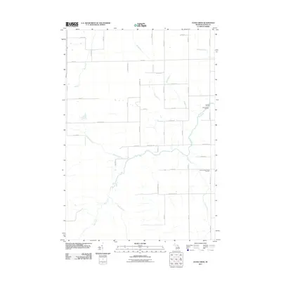 2011 Evans Creek2011 Print · USGSAlpena County's rural landscape is captured here in the early twenty-first century, showing a traditional layout of family-named roads and remote creeks. Researchers can locate family heritage sites at the Saint Paul Cemetery, Saint Matthew Cemetery, or along the banks of Wolf Creek.
 - 2011 Map of Beaver Lake, 2011 Print
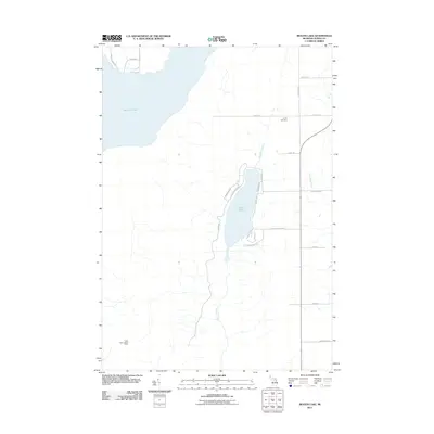 2011 Beaver Lake2011 Print · USGSAlpena County's lake country is detailed here during the early twenty-first century, showing the developed shores and rural cemeteries of Ossineke Township. Genealogists and researchers can locate Spratt Cemetery or trace the drainage of Beaver Creek and Butterfield Creek.
 - 2011 Map of Rust, 2011 Print
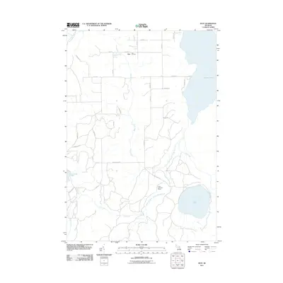 2011 Rust2011 Print · USGSMontmorency County at the start of the 2010s reveals a landscape defined by its waters and quiet township settlements. Genealogists and local historians can locate Rust Cemetery near the village of Rust or trace the shores of Turtle Lake and Fletcher Pond.
 - 2011 Map of Jewett Creek, 2011 Print
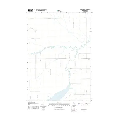 2011 Jewett Creek2011 Print · USGSThe northern reaches of the Alpena-Montmorency county line are captured here in the early twenty-first century, centered on the waters of Fletcher Pond. Local historians can trace old homesteads and family names along Doyle School Rd and Taylor Hawks Rd near the Green Cemetery.
 - 2011 Map of Lachine, 2011 Print
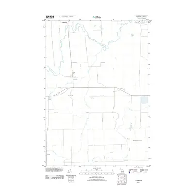 2011 Lachine2011 Print · USGSAlpena County’s rural interior is captured here as it appeared in the early 21st century, centered on the Thunder Bay River valley. Researchers can pinpoint specific local landmarks including the Lachine Post Office, Green Cemetery, and Emerson Station.
 - 2011 Map of Hillman, 2011 Print
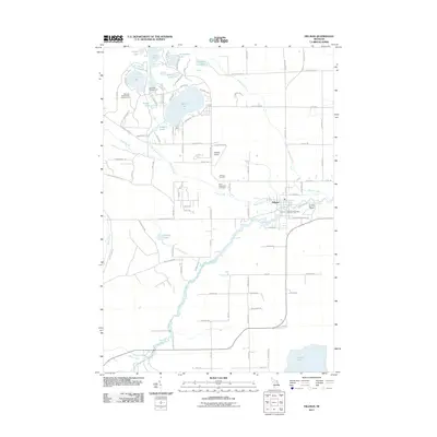 2011 Hillman2011 Print · USGSHillman and the surrounding lake country of Montmorency County are captured here during a period of recreational growth. Local historians can trace family locations near Hillman Cemetery or explore the waterways of Avalon Lake and the Thunder Bay River.
 - 2014 Map of Lachine, 2014 Print
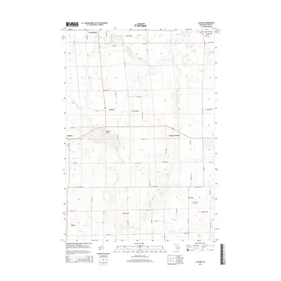 2014 Lachine2014 Print · USGSAlpena County as it appeared in the early 21st century remains a landscape of small crossroads settlements and river valleys. Genealogists and local historians can trace family locations near Long Rapids, Herron, and Green Cem or explore the hills around Manning Hill.
 - 2014 Map of Jewett Creek, 2014 Print
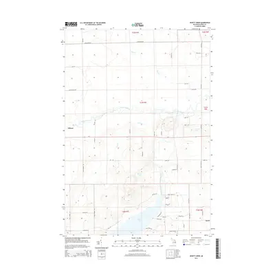 2014 Jewett Creek2014 Print · USGSNear Hillman in the early twenty-first century, this landscape is defined by the winding Thunder Bay River and the waters of Fletcher Pond. Researchers can trace old family road names and rural landmarks such as Spratt, Sylvester Lake, and Doyle School Rd.
 - 2014 Map of Beaver Lake, 2014 Print
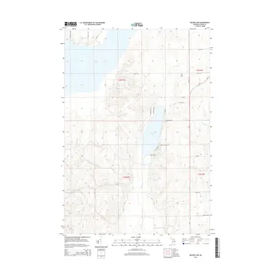 2014 Beaver Lake2014 Print · USGSAlpena County's interior highlights a landscape of recreational waters and rural homesteads during the early twenty-first century. Researchers can locate the Spratt Cem and trace access to seasonal favorites like Beaver Lake and Fletcher Pond.
 - 2014 Map of Rust, 2014 Print
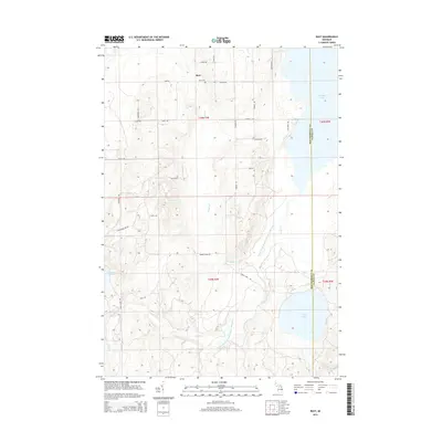 2014 Rust2014 Print · USGSIn the lake country of Northeast Michigan, this survey shows the rural landscape of Montmorency County as it appeared in the early 21st century. Researchers can trace family sites near Rust Cem or explore the vast shorelines of Fletcher Pond and Turtle Lake.
 - 2014 Map of Hillman, 2014 Print
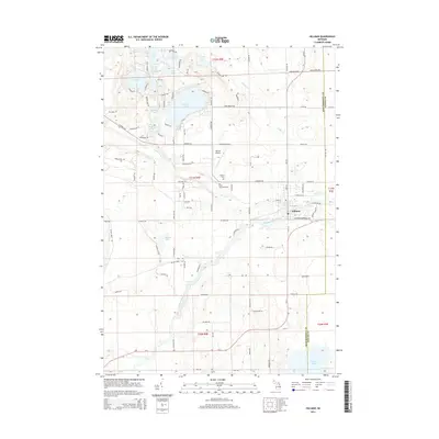 2014 Hillman2014 Print · USGSHillman and the surrounding lake country of Montmorency County are captured here in the early twenty-first century. Researchers can locate family sites near Hillman Cem, track the winding Thunder Bay River, or explore the development around Avalon Lake.
 - 2014 Map of Evans Creek, 2014 Print
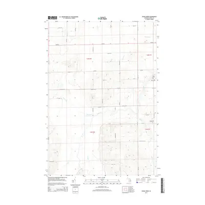 2014 Evans Creek2014 Print · USGSAlpena County's rural townships are documented here during the early 21st century, showing a landscape shaped by water and the section grid. Trace local ancestry and land use through sites like Saint Matthew Cem or follow the paths of Evans Creek and Butterfield Cr.
 - 2017 Map of Beaver Lake, 2017 Print
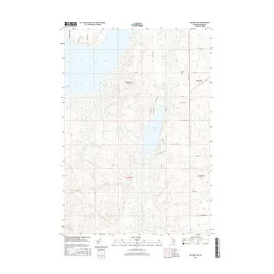 2017 Beaver Lake2017 Print · USGSAlpena County's wetlands and waterways are captured here in the late 2010s, centered on the residential and recreational landscape around Beaver Lake. Researchers can locate family sites near Spratt Cem or trace the rural routes of Spratt Rd and Cook Rd.
 - 2017 Map of Evans Creek, 2017 Print
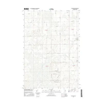 2017 Evans Creek2017 Print · USGSAlpena County as it appeared in the mid-2010s shows a landscape still defined by its waterways and quiet rural roads. Researchers can trace family history at the Salem Lutheran Church Cem and follow the paths of Evans Creek and Smokey Hollow Swamp.
 - 2017 Map of Rust, 2017 Print
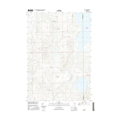 2017 Rust2017 Print · USGSRust Township and the surrounding lake country are shown here in recent detail, where the headwaters of the Thunder Bay River meet the Alpena County line. Trace local family history at Rust Cem or explore the shorelines of Turtle Lake and Fletcher Pond.
 - 2017 Map of Lachine, 2017 Print
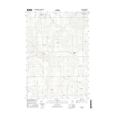 2017 Lachine2017 Print · USGSAlpena County's agricultural heartland is documented here in the early twenty-first century, showing the transition of old rail corridors into public paths. Researchers can locate family sites near Long Rapids or trace the Hillman-Alpena State Trail past Lachine and Emerson Station.
 - 2017 Map of Jewett Creek, 2017 Print
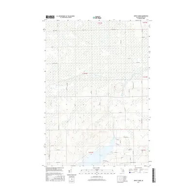 2017 Jewett Creek2017 Print · USGSNortheastern Michigan's waterway networks are at the forefront of this 2010s-era survey, showing the land as it surrounds the northern reaches of Fletcher Pond. Researchers can trace the winding course of the Thunder Bay River or locate family-named access points like Emils Landing Rd and Jacks Landing Rd.
 - 2017 Map of Hillman, 2017 Print
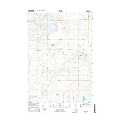 2017 Hillman2017 Print · USGSThe village of Hillman is shown here as it transitioned into the early twenty-first century, surrounded by the dense lake-and-river network of Montmorency County. Genealogists and local historians can locate Saint Augustine Cem and trace the winding course of the Thunder Bay River toward Fletcher Pond.
 - 2019 Map of Hillman, 2019 Print
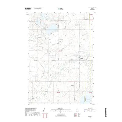 2019 Hillman2019 Print · USGSThe village of Hillman and the upper reaches of the Thunder Bay River are shown here in 2019, surrounded by a dense network of glacial lakes. Genealogists and researchers can locate family sites near Hillman Cem and Saint Augustine Cem or trace the shores of Avalon Lake.
 - 2019 Map of Jewett Creek, 2019 Print
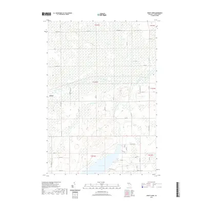 2019 Jewett Creek2019 Print · USGSAlpena County and the village of Hillman are shown here in the late twenty-teens as the Thunder Bay River carves through the local wetlands. Researchers can trace land use around Fletcher Pond, find Doyle School Rd, or survey the reaches of Long Swamp.
 - 2019 Map of Rust, 2019 Print
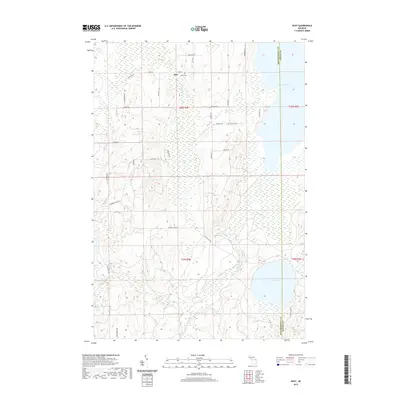 2019 Rust2019 Print · USGSMontmorency County at the edge of the Alpena County border is documented here in the late 2010s, showing a landscape defined by significant timberlands and water. Researchers can locate the Rust Cem, trace the Upper Br Thunder Bay River, and find family-named routes like Klein Rd and Farrier Rd.
 - 2019 Map of Evans Creek, 2019 Print
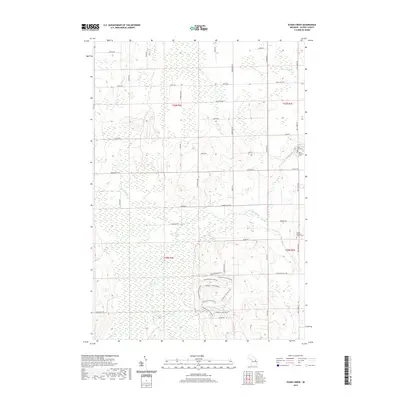 2019 Evans Creek2019 Print · USGSAlpena County’s rural interior is captured here in the late 2010s, showing a landscape defined by meandering waterways and family landholdings. Genealogists and local historians can locate established burial grounds like Salem Lutheran Church Cem and trace the paths of Wolf Creek and Evans Cr.
 - 2019 Map of Beaver Lake, 2019 Print
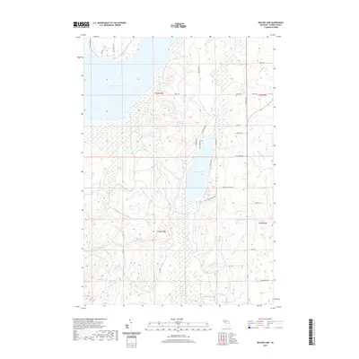 2019 Beaver Lake2019 Print · USGSOssineke Township and Alpena County are shown here in the late 2010s, centered on the waters of Beaver Lake and Fletcher Pond. Genealogists and local historians can trace family-named roads and burial sites like Spratt Cem and Meinzinger Rd.
 - 2019 Map of Lachine, 2019 Print
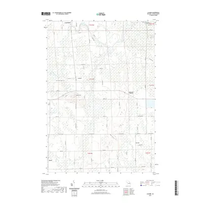 2019 Lachine2019 Print · USGSAlpena County as it appeared in the late 2010s shows a quiet landscape of rural townships and winding river bends. Trace local history through family-named sites and landmarks like Manning Hill, Herron Saint Rose's Cem, and the old rail corridor of the Hillman-Alpena State Trail.
End of results
Showing maps 1-24 of 24
Top cities near Green Township
Top neighborhoods of Green Township
Frequently asked questions
- What are the different types of historical maps available for Green Township?
- What is the oldest map of Green Township?
- Where can I purchase historical maps of Green Township for my home or office?
- Where can I download high-res historical maps of Green Township?
- Are there historical topographic maps available for Green Township?
- Is there historical aerial imagery available for Green Township?
- Where are historical maps of Green Township sourced from?