2000s (21st Century) Maps of Green Township, Michigan
Explore 30 historic maps of Green Township from the 2000s (21st Century). These maps offer a rare glimpse into what life looked like during the 2000s — showing old roads, neighborhoods, homes, and landmarks that have changed or disappeared over time.
Whether you're researching your family's past, planning a metal detecting trip, or studying how Green Township's landscape evolved across the 2000s, these high-resolution maps are a powerful tool for exploring the history of this region.
- Focus on a specific era: All maps on this page are from the 2000s, giving you a focused view of this time period.
- See what’s changed: Compare century-old streets, trails, and buildings to today's modern landscape using overlays and satellite layers.
- Research with precision: Use these maps for genealogy, historical research, land use analysis, or educational projects.
- View, download, or print: Maps are fully viewable online in high resolution, and can be downloaded or printed for your own records.
Start exploring Green Township's history through authentic maps from the 2000s. This is your window into the past.
Green Township, MI maps
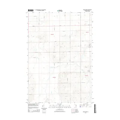
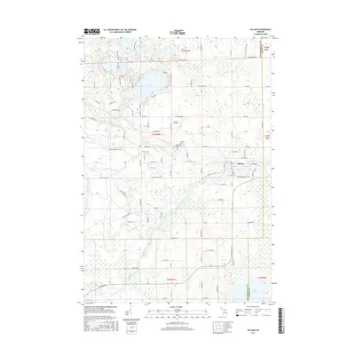
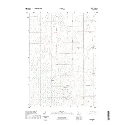
(30)- 2011 Map of Evans Creek, 2011 Print
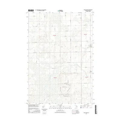
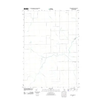 2011 Evans Creek2011 Print · USGSCovers Green Township, including Ossineke Township, Wilson Township, and other nearby areas
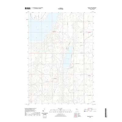
 - 2011 Map of Beaver Lake, 2011 Print
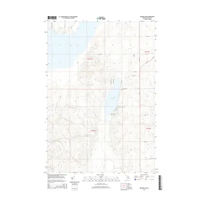
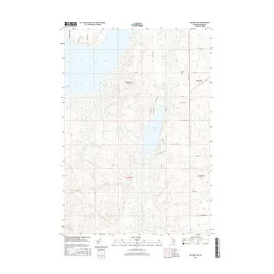
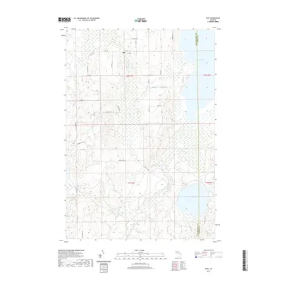
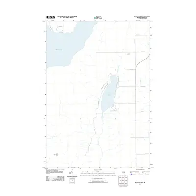 2011 Beaver Lake2011 Print · USGSCovers Green Township, including Ossineke Township, Alpena County, and other nearby areas
 - 2011 Map of Rust, 2011 Print
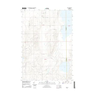
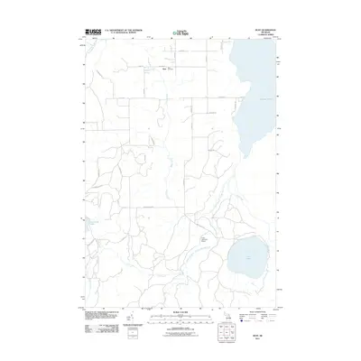 2011 Rust2011 Print · USGSCovers Green Township, including Rust, Ossineke Township, and other nearby areas
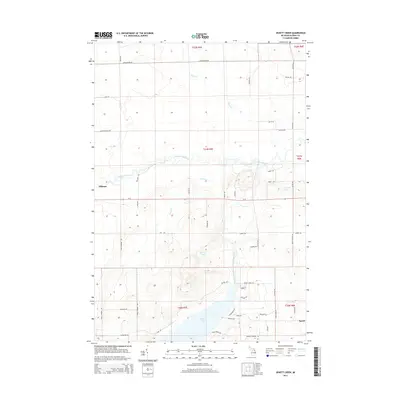
 - 2011 Map of Jewett Creek, 2011 Print
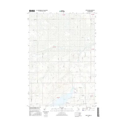
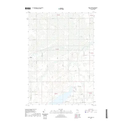
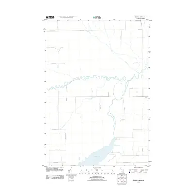 2011 Jewett Creek2011 Print · USGSCovers Green Township, including Hillman, Wellington Township, and other nearby areas
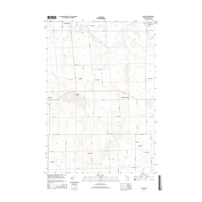
 - 2011 Map of Lachine, 2011 Print
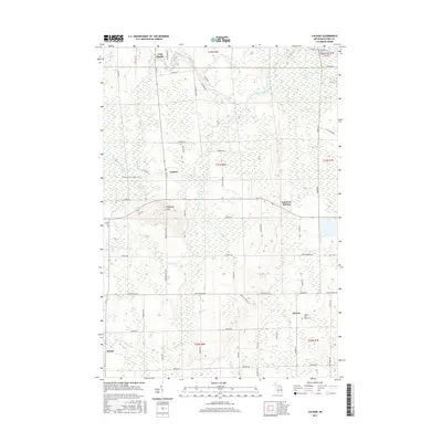
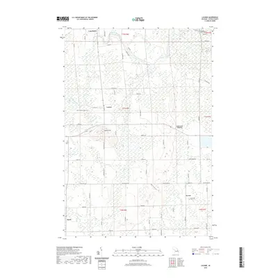
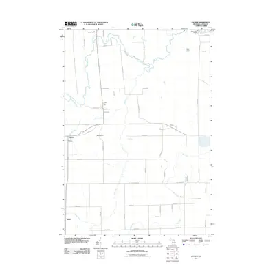 2011 Lachine2011 Print · USGSCovers Green Township, including Long Rapids Township, Wilson Township, and other nearby areas
 - 2011 Map of Hillman, 2011 Print
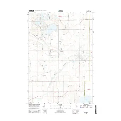
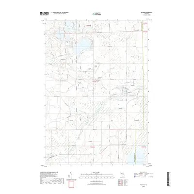
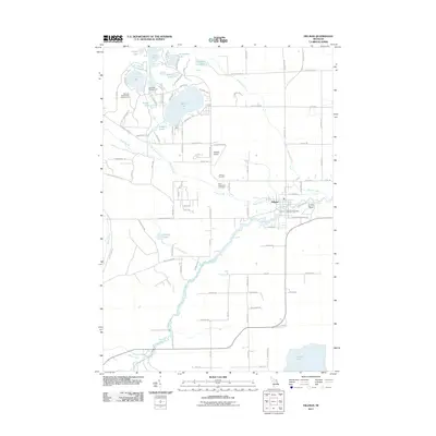 2011 Hillman2011 Print · USGSCovers Green Township, including Hillman, Wellington Township, and other nearby areas
 - 2014 Map of Lachine, 2014 Print
 2014 Lachine2014 Print · USGSCovers Green Township, including Long Rapids Township, Wilson Township, and other nearby areas
 - 2014 Map of Jewett Creek, 2014 Print
 2014 Jewett Creek2014 Print · USGSCovers Green Township, including Hillman, Wellington Township, and other nearby areas
 - 2014 Map of Beaver Lake, 2014 Print
 2014 Beaver Lake2014 Print · USGSCovers Green Township, including Ossineke Township, Alpena County, and other nearby areas
 - 2014 Map of Rust, 2014 Print
 2014 Rust2014 Print · USGSCovers Green Township, including Rust, Ossineke Township, and other nearby areas
 - 2014 Map of Hillman, 2014 Print
 2014 Hillman2014 Print · USGSCovers Green Township, including Hillman, Wellington Township, and other nearby areas
 - 2014 Map of Evans Creek, 2014 Print
 2014 Evans Creek2014 Print · USGSCovers Green Township, including Ossineke Township, Wilson Township, and other nearby areas
 - 2017 Map of Beaver Lake, 2017 Print
 2017 Beaver Lake2017 Print · USGSCovers Green Township, including Ossineke Township, Alpena County, and other nearby areas
 - 2017 Map of Evans Creek, 2017 Print
 2017 Evans Creek2017 Print · USGSCovers Green Township, including Ossineke Township, Wilson Township, and other nearby areas
 - 2017 Map of Rust, 2017 Print
 2017 Rust2017 Print · USGSCovers Green Township, including Rust, Ossineke Township, and other nearby areas
 - 2017 Map of Lachine, 2017 Print
 2017 Lachine2017 Print · USGSCovers Green Township, including Long Rapids Township, Wilson Township, and other nearby areas
 - 2017 Map of Jewett Creek, 2017 Print
 2017 Jewett Creek2017 Print · USGSCovers Green Township, including Hillman, Wellington Township, and other nearby areas
 - 2017 Map of Hillman, 2017 Print
 2017 Hillman2017 Print · USGSCovers Green Township, including Hillman, Wellington Township, and other nearby areas
 - 2019 Map of Hillman, 2019 Print
 2019 Hillman2019 Print · USGSCovers Green Township, including Hillman, Wellington Township, and other nearby areas
 - 2019 Map of Jewett Creek, 2019 Print
 2019 Jewett Creek2019 Print · USGSCovers Green Township, including Hillman, Wellington Township, and other nearby areas
 - 2019 Map of Rust, 2019 Print
 2019 Rust2019 Print · USGSCovers Green Township, including Rust, Ossineke Township, and other nearby areas
 - 2019 Map of Evans Creek, 2019 Print
 2019 Evans Creek2019 Print · USGSCovers Green Township, including Ossineke Township, Wilson Township, and other nearby areas
 - 2019 Map of Beaver Lake, 2019 Print
 2019 Beaver Lake2019 Print · USGSCovers Green Township, including Ossineke Township, Alpena County, and other nearby areas
 - 2019 Map of Lachine, 2019 Print
 2019 Lachine2019 Print · USGSCovers Green Township, including Long Rapids Township, Wilson Township, and other nearby areas
 - 2023 Map of Evans Creek, 2023 Print
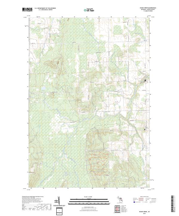 2023 Evans Creek2023 Print · USGSAlpena County's rural landscape is documented here in the early 2020s, showing a region shaped by its creeks and community heritage. Researchers can locate family landmarks like Saint Matthew Cem and the Chippewa Hills Pathway Trl.
Showing maps 1-25 of 30
Top cities near Green Township
Top neighborhoods of Green Township
Frequently asked questions
- What are the different types of historical maps available for Green Township?
- What is the oldest map of Green Township?
- Where can I purchase historical maps of Green Township for my home or office?
- Where can I download high-res historical maps of Green Township?
- Are there historical topographic maps available for Green Township?
- Is there historical aerial imagery available for Green Township?
- Where are historical maps of Green Township sourced from?