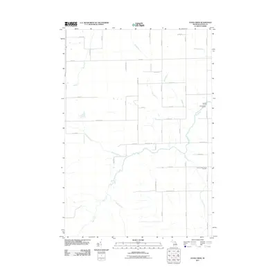
2011 Map of Evans Creek
USGS Topo · Published 2011About this map
Wolf Creek and its many tributaries, including Butterfield Creek and Widner Creek, define the drainage patterns of this rural Alpena County landscape. The area is characterized by a grid of agricultural and forest roads named for local families, such as Wegmeyer Rd, Herron Rd, and Bartz Rd. This network connects small community hubs centered around local parishes and burial grounds.
Find a feature on this map
42 named features on this map. Tap any name to fly to it.
Don’t see what you’re looking for? This feature index may not catch every label — zoom into the map to look around manually.
Map Details
Editions of this 2011 Evans Creek Map
This is the sole edition of this map. No revisions or reprints were ever made.
Other maps of this area

1954 · Tawas City
USGS Topo · 1:250,000

1954 · Alpena
USGS Topo · 1:250,000

1955 · Hillman
USGS Topo · 1:62,500

1957 · Alpena
USGS Topo · 1:250,000

1958 · Alpena
USGS Topo · 1:250,000

1958 · Tawas City
USGS Topo · 1:250,000

1969 · Alpena
USGS Topo · 1:250,000

1971 · Lake Winyah
USGS Topo · 1:24,000

1971 · Lachine
USGS Topo · 1:24,000

1972 · Hubbard Lake
USGS Topo · 1:24,000