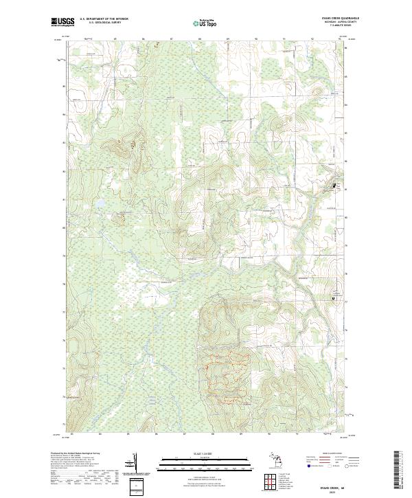
2023 Map of Evans Creek
USGS Topo · Published 2023About this map
Evans Creek and its neighboring waterways define the drainage patterns of this Alpena County landscape, where the northern Michigan woodlands meet rural homesteads and family farms. The map reveals a tight-knit community structure through its collection of local landmarks, such as Salem Lutheran Church and the adjacent Saint Paul Cem and Saint Matthew Cem. These features, located near the eastern edge along Wolf Creek Rd, point to the long-standing heritage of the families who settled this region.
Find a feature on this map
47 named features on this map. Tap any name to fly to it.
Don’t see what you’re looking for? This feature index may not catch every label — zoom into the map to look around manually.
Map Details
Editions of this 2023 Evans Creek Map
This is the sole edition of this map. No revisions or reprints were ever made.
Other maps of this area

1954 · Tawas City
USGS Topo · 1:250,000

1954 · Alpena
USGS Topo · 1:250,000

1955 · Hillman
USGS Topo · 1:62,500

1957 · Alpena
USGS Topo · 1:250,000

1958 · Alpena
USGS Topo · 1:250,000

1958 · Tawas City
USGS Topo · 1:250,000

1969 · Alpena
USGS Topo · 1:250,000

1971 · Lake Winyah
USGS Topo · 1:24,000

1971 · Lachine
USGS Topo · 1:24,000

1972 · Hubbard Lake
USGS Topo · 1:24,000