Old Maps of Benzie County, Michigan for Hiking & Exploration
Hike through history with 91 historic maps of Benzie County. Explore old trails, ghost towns, and forgotten backroads — perfect for outdoor adventurers and local explorers.
- Rediscover forgotten places: Map out old mining camps, roads, and footpaths that no longer exist on modern maps.
- Layer with modern tools: Combine with LiDAR or satellite views to plan hikes through historical terrain.
- Made for exploration: Popular among hikers, overlanders, and local history lovers.
Use these maps to find adventure and explore the hidden past of Benzie County.
Benzie County, MI maps
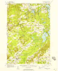
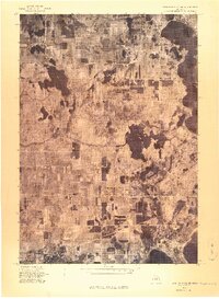
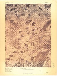
(91)- 1954 Map of Traverse City, 1965 Print
 1954 Traverse City1965 Print · USGSNorthern Michigan’s vast lakeshores and timberlands are captured here in the mid-fifties, showing the region before the modern interstate era. Genealogists and researchers can trace rail connections like the Detroit and Mackinac RR or find old communities such as Suttons Bay, Elk Rapids, and Prudenville.4 unique versions available
 - 1954 Map of Manitowoc, 1968 Print
 1954 Manitowoc1968 Print · USGSLake Michigan served as a vital transit corridor in the mid-fifties, with car and auto ferries linking the industrial ports of Wisconsin to the Michigan timberlands. Genealogists and maritime historians can trace active ferry routes like the Ann Arbor Railway Car and Auto Ferry and locate early settlements from Brussels to Algoma.2 unique versions available
 - 1956 Map of Thompsonville, 1958 Print
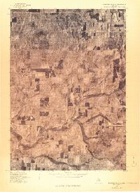
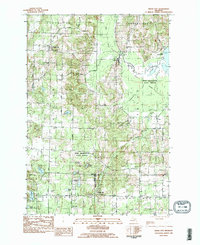
 1956 Thompsonville1958 Print · USGSNorthern Michigan's lake country thrived around mid-century rail hubs and cultural sites. You can trace the ANN ARBOR rail line through Thompsonville or locate the National Music Camp near Interlochen.3 unique versions available
 - 1956 Map of Frankfort, 1958 Print
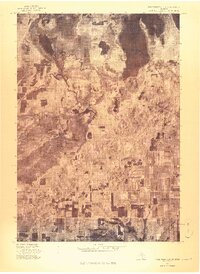
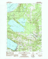
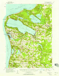 1956 Frankfort1958 Print · USGSThe Benzie County shoreline during the mid-fifties shows a landscape of established lakeside communities and changing rural infrastructure. Genealogists can locate family names at Crystal Lake Cem or trace vanished local landmarks like Lincoln Sch and Union Chapel.3 unique versions available
 - 1957 Map of Empire, 1958 Print
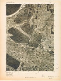
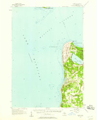 1957 Empire1958 Print · USGSThe Leelanau Peninsula coast in the mid-fifties shows a rugged landscape of shifting sands and Cold War defense. Genealogists and historians can locate Maple Grove Cem, the sprawling Sleeping Bear Dunes, and the Empire Air Force Station.2 unique versions available
 - 1957 Map of Maple City, 1958 Print
 1957 Maple City1958 Print · USGSLeelanau County's lake-studded landscape is captured here in the late fifties, showing the interplay between forest and settlement. Researchers can trace family sites at St Joseph Cem & Ch, the North Unity Sch, and Port Oneida.3 unique versions available
 - 1958 Map of Traverse City
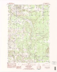
 1958 Traverse City1958 Print · USGSNorthern Lower Michigan was a landscape of vast state forests and burgeoning lakeside retreats in the late fifties. Genealogists and historians can trace the rail corridors of the Ann Arbor RR and find established settlements from Elk Rapids to Houghton Lake.2 unique versions available
 - 1958 Map of Manitowoc
 1958 Manitowoc1958 Print · USGSLake Michigan and its shorelines are shown in the late fifties when maritime transport defined the region. Researchers can trace the routes of the Ann Arbor Railroad Ferry or locate old settlements like St. Nazianz, Rostock, and Two Creeks.
 - 1976 Map of Thompsonville NE
 1976 Thompsonville NE1976 Print · USGSGrand Traverse County's lake-studded landscape is captured in this mid-1970s aerial survey just as these lakeside communities were evolving. You can trace the rural layouts of Lake Ann and Bendon or examine the shorelines of Long Lake and Green Lake.
 - 1976 Map of Frankfort SE
 1976 Frankfort SE1976 Print · USGSIn the mid-seventies, this area of Benzie County preserved a classic northern Michigan landscape of winding waterways and village life. Researchers can trace the exact footprint of Benzonia and follow the natural curves of the Betsie River as they appeared decades ago.
 - 1976 Map of Frankfort NW
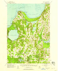
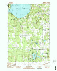
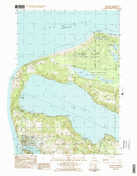
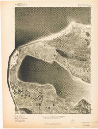 1976 Frankfort NW1976 Print · USGSThe Lake Michigan shoreline and the deep basin of Crystal Lake are captured in this mid-seventies aerial study. Local historians can trace the harbor development at Frankfort and the smaller coastal settlement of Pilgrim.
 - 1976 Map of Frankfort SW
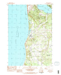
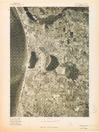 1976 Frankfort SW1976 Print · USGSThe Benzie County shoreline appears in sharp detail during the mid-seventies in this aerial survey. Local historians can trace the exact footprint of coastal settlements like Elberta and Watervale alongside the waters of Betsie Lake.
 - 1976 Map of Thompsonville SW
 1976 Thompsonville SW1976 Print · USGSNorthern Michigan's interior near the Benzie county line is seen in the mid-seventies through detailed aerial imagery. Trace the winding Betsie River as it passes near Thompsonville, Nessen City, and the rural settlement of Wallin.
 - 1976 Map of Thompsonville NW
 1976 Thompsonville NW1976 Print · USGSCovers Benzie County, including Platte Township, Platte River, and other nearby areas
 - 1976 Map of Thompsonville SE
 1976 Thompsonville SE1976 Print · USGSGrand Traverse County is seen here during the mid-seventies, captured in a detailed aerial orthophoto that reveals the precise layout of the landscape. Researchers can trace the path of the Betsie River and locate the small settlement of Karlin.
 - 1976 Map of Frankfort NE
 1976 Frankfort NE1976 Print · USGSBenzie County’s lake-studded shoreline is captured in this mid-seventies aerial survey of the Lake Michigan coast. Genealogists and local researchers can trace the mid-century footprints of Honor and Beulah and see the 1976 property patterns around Platte Lake.
 - 1983 Map of Beulah, 1984 Print
 1983 Beulah1984 Print · USGSBenzie County’s lake-studded landscape is captured here in the early eighties, from the dunes of Platte Bay to the village of Beulah. Genealogists and historians can trace the Ann Arbor RR line, locate the Platte River Sch, and find family landmarks like Marshall Road.
 - 1983 Map of Empire, 1984 Print
 1983 Empire1984 Print · USGSThe Leelanau shoreline comes into focus in the early eighties as the national lakeshore took its modern shape. Researchers can trace local landmarks like Maple Grove Cem and the Radar Station or follow the path of Otter Creek through the dunes.2 unique versions available
 - 1983 Map of Thompsonville, 1984 Print
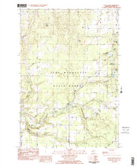
 1983 Thompsonville1984 Print · USGSBenzie and Manistee counties meet in the early eighties at the junction of the Betsie River and the Pere Marquette State Forest. Genealogists and local historians can trace the rural communities of Thompsonville, Nessen City, and Wallin, along with family sites near Homestead Cem.
 - 1983 Map of Burdickville, 1984 Print
 1983 Burdickville1984 Print · USGSLeelanau County's lake-rich landscape is captured here in the early eighties, centered on the community of Burdickville and the southern shores of Glen Lake. Researchers can trace rural cemeteries like Tobin Cem and Wilson Cem, alongside local landmarks like Glen Lake Sch.3 unique versions available
 - 1983 Map of Maple City, 1984 Print
 1983 Maple City1984 Print · USGSLeelanau County's rural heartland is captured here in the early eighties, showcasing a landscape of dense state forests and scattered farmsteads. Genealogists can trace family names through numerous sites like St Rita Cem, Kasson Cem, and the settlement at Maple City.2 unique versions available
 - 1983 Map of Benzonia, 1984 Print
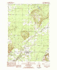
 1983 Benzonia1984 Print · USGSBenzie County’s rural interior is captured here in the early eighties, showing the agricultural grids and river valleys south of Crystal Lake. Genealogists can locate family landmarks like Joyfield Cem or trace the path of the Betsie River and the Northern Michigan rail line.2 unique versions available
 - 1983 Map of Frankfort, 1984 Print
 1983 Frankfort1984 Print · USGSCoastal Benzie County in the early eighties shows the harbor towns of Frankfort and Elberta alongside a network of inland lakes. Researchers can trace the path of the Ann Arbor RR and locate local sites like Crystal Lake Cem and Point Betsie Lighthouse.2 unique versions available
 - 1983 Map of Platte River, 1984 Print
 1983 Platte River1984 Print · USGSBenzie County’s interior lakes and forests appear in detail during the early eighties, centered on the Platte River. Genealogists and local historians can locate Almira Ch, Brundage Cem, and the old site of Clarks Mill among the timberlands.2 unique versions available
 - 1983 Map of Traverse City, 1984 Print
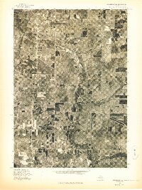
 1983 Traverse City1984 Print · USGSTraverse City and the surrounding bay country are captured in the early eighties as the region balanced its timber heritage with growing conservation. Genealogists and local historians can trace the rail lines of the Ann Arbor RR through settlements like Kingsley and Fife Lake.2 unique versions available
Showing maps 1-25 of 91
Top cities of Benzie County
Frequently asked questions
- What are the different types of historical maps available for Benzie County?
- What is the oldest map of Benzie County?
- Where can I purchase historical maps of Benzie County for my home or office?
- Where can I download high-res historical maps of Benzie County?
- Are there historical topographic maps available for Benzie County?
- Is there historical aerial imagery available for Benzie County?
- Where are historical maps of Benzie County sourced from?