2000s (21st Century) Maps of Benzie County, Michigan
Explore 60 historic maps of Benzie County from the 2000s (21st Century). These maps offer a rare glimpse into what life looked like during the 2000s — showing old roads, neighborhoods, homes, and landmarks that have changed or disappeared over time.
Whether you're researching your family's past, planning a metal detecting trip, or studying how Benzie County's landscape evolved across the 2000s, these high-resolution maps are a powerful tool for exploring the history of this region.
- Focus on a specific era: All maps on this page are from the 2000s, giving you a focused view of this time period.
- See what’s changed: Compare century-old streets, trails, and buildings to today's modern landscape using overlays and satellite layers.
- Research with precision: Use these maps for genealogy, historical research, land use analysis, or educational projects.
- View, download, or print: Maps are fully viewable online in high resolution, and can be downloaded or printed for your own records.
Start exploring Benzie County's history through authentic maps from the 2000s. This is your window into the past.
Benzie County, MI maps
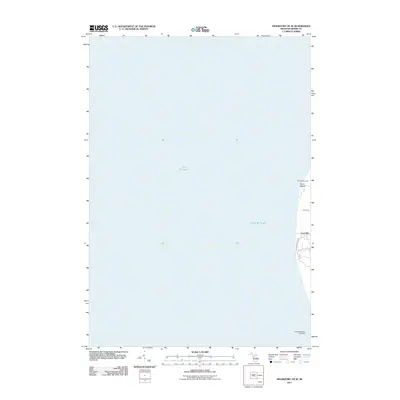
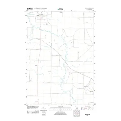
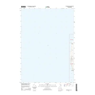
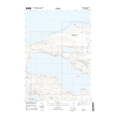
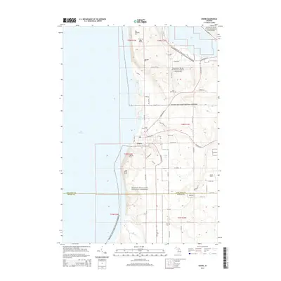
(60)- 2011 Map of Frankfort, 2011 Print
 2011 Frankfort2011 Print · USGSCovers Benzie County, including Frankfort, Elberta, and other nearby areas
 - 2011 Map of Frankfort OE W, 2011 Print
 2011 Frankfort OE W2011 Print · USGSCovers Benzie County, including Frankfort, Crystal Lake Township, and other nearby areas
 - 2011 Map of Empire, 2011 Print
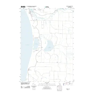
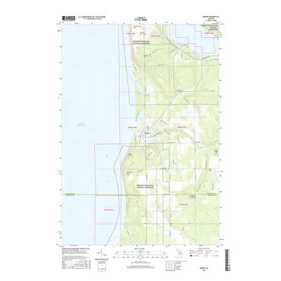
 2011 Empire2011 Print · USGSCovers Benzie County, including Empire, Glen Arbor Township, and other nearby areas
 - 2011 Map of Beulah, 2011 Print
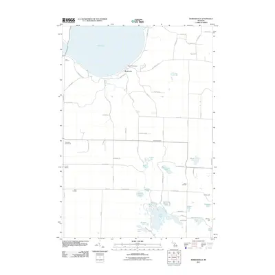
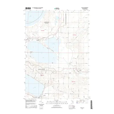
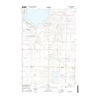
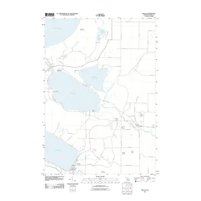 2011 Beulah2011 Print · USGSCovers Benzie County, including Benzonia, Beulah, and other nearby areas
 - 2011 Map of Benzonia, 2011 Print
 2011 Benzonia2011 Print · USGSCovers Benzie County, including Weldon, Benzonia, and other nearby areas
 - 2011 Map of Elberta, 2011 Print
 2011 Elberta2011 Print · USGSCovers Benzie County, including Frankfort, Elberta, and other nearby areas
 - 2011 Map of Burdickville, 2011 Print
 2011 Burdickville2011 Print · USGSCovers Benzie County, including Glen Arbor Township, Kasson Township, and other nearby areas
 - 2011 Map of Maple City, 2011 Print
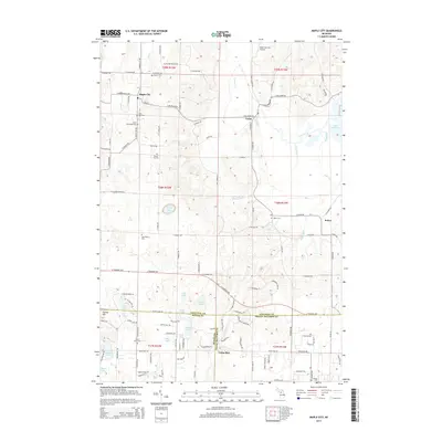
 2011 Maple City2011 Print · USGSCovers Benzie County, including Long Lake Township, Solon, and other nearby areas
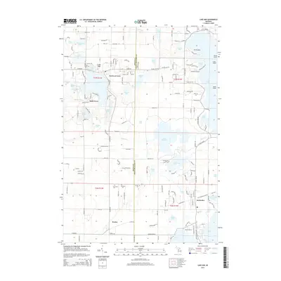
 - 2011 Map of Lake Ann, 2011 Print
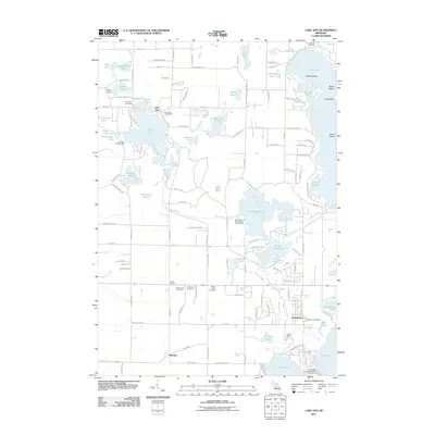 2011 Lake Ann2011 Print · USGSCovers Benzie County, including Long Lake Charter Township, Long Lake Township, and other nearby areas
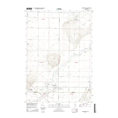
 - 2011 Map of Thompsonville, 2011 Print
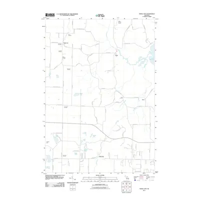
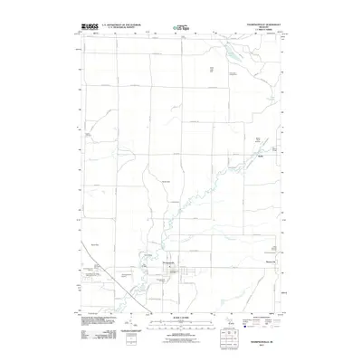 2011 Thompsonville2011 Print · USGSCovers Benzie County, including Thompsonville, Nessen City, and other nearby areas
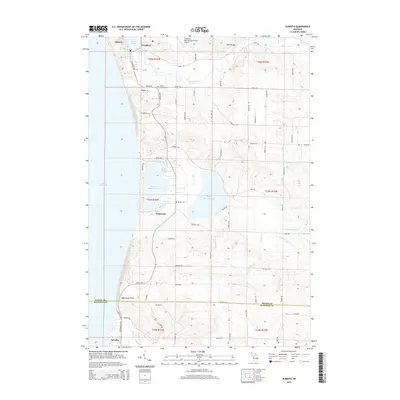
 - 2011 Map of Karlin, 2011 Print
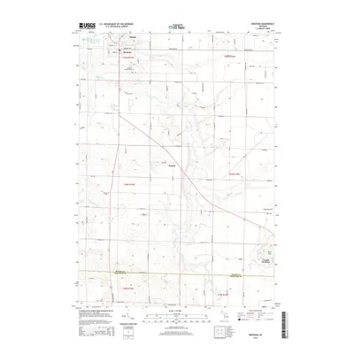
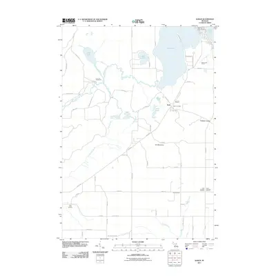 2011 Karlin2011 Print · USGSCovers Benzie County, including Green Lake Township, Grant Township, and other nearby areas
 - 2011 Map of Platte River, 2011 Print
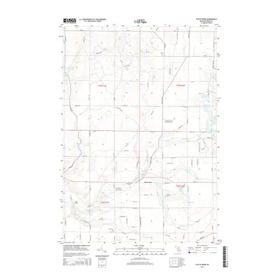
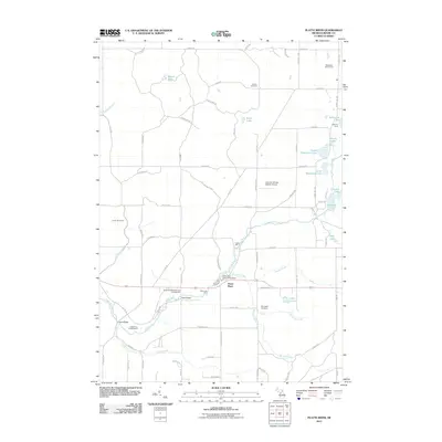 2011 Platte River2011 Print · USGSCovers Benzie County, including Inland Township, Almira Township, and other nearby areas
 - 2014 Map of Benzonia, 2014 Print
 2014 Benzonia2014 Print · USGSCovers Benzie County, including Weldon, Benzonia, and other nearby areas
 - 2014 Map of Beulah, 2014 Print
 2014 Beulah2014 Print · USGSCovers Benzie County, including Benzonia, Beulah, and other nearby areas
 - 2014 Map of Frankfort OE W, 2014 Print
 2014 Frankfort OE W2014 Print · USGSCovers Benzie County, including Frankfort, Crystal Lake Township, and other nearby areas
 - 2014 Map of Frankfort, 2014 Print
 2014 Frankfort2014 Print · USGSCovers Benzie County, including Frankfort, Elberta, and other nearby areas
 - 2014 Map of Empire, 2014 Print
 2014 Empire2014 Print · USGSCovers Benzie County, including Empire, Glen Arbor Township, and other nearby areas
 - 2014 Map of Elberta, 2014 Print
 2014 Elberta2014 Print · USGSCovers Benzie County, including Frankfort, Elberta, and other nearby areas
 - 2014 Map of Thompsonville, 2014 Print
 2014 Thompsonville2014 Print · USGSCovers Benzie County, including Thompsonville, Nessen City, and other nearby areas
 - 2014 Map of Lake Ann, 2014 Print
 2014 Lake Ann2014 Print · USGSCovers Benzie County, including Long Lake Charter Township, Long Lake Township, and other nearby areas
 - 2014 Map of Karlin, 2014 Print
 2014 Karlin2014 Print · USGSCovers Benzie County, including Green Lake Township, Grant Township, and other nearby areas
 - 2014 Map of Maple City, 2014 Print
 2014 Maple City2014 Print · USGSCovers Benzie County, including Long Lake Township, Solon, and other nearby areas
 - 2014 Map of Platte River, 2014 Print
 2014 Platte River2014 Print · USGSCovers Benzie County, including Inland Township, Almira Township, and other nearby areas
 - 2014 Map of Burdickville, 2014 Print
 2014 Burdickville2014 Print · USGSCovers Benzie County, including Glen Arbor Township, Kasson Township, and other nearby areas
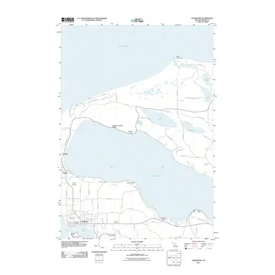
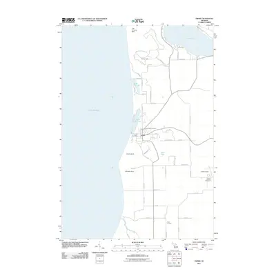
 - 2017 Map of Empire, 2017 Print
 2017 Empire2017 Print · USGSCovers Benzie County, including Empire, Glen Arbor Township, and other nearby areas
Showing maps 1-25 of 60
Top cities of Benzie County
Frequently asked questions
- What are the different types of historical maps available for Benzie County?
- What is the oldest map of Benzie County?
- Where can I purchase historical maps of Benzie County for my home or office?
- Where can I download high-res historical maps of Benzie County?
- Are there historical topographic maps available for Benzie County?
- Is there historical aerial imagery available for Benzie County?
- Where are historical maps of Benzie County sourced from?