Old Maps of Lee Township, Michigan for Academic Research
Study the evolution of Lee Township with 31 high-resolution historic maps. Whether you're teaching, researching, or modeling changes in land use, these maps provide essential visual documentation of urban, environmental, and geographic change.
- Analyze long-term change: Track patterns in development, transportation, and natural features.
- Ideal for environmental or urban studies: Support academic projects with primary historical map data.
- Use in the classroom or lab: Educators and researchers rely on these maps to bring historical context to life.
These maps are a powerful tool for teaching, research, and visualizing how Lee Township has changed over the decades.
Lee Township, MI maps
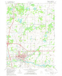
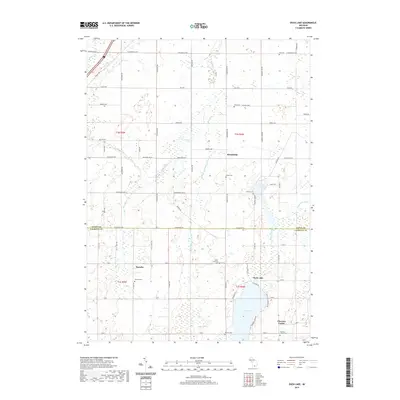
(31)- 1921 Map of Marshall, 1965 Print
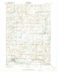 1921 Marshall1965 Print · USGSSouthern Michigan in the early 1920s is defined by its busy rail corridors and countless rural school districts. Researchers can trace the development of Marshall and Albion or locate vanished landmarks like the County Infirmary and Town Line Church.2 unique versions available
 - 1923 Map of Marshall
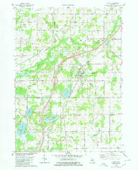
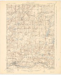 1923 Marshall1923 Print · USGSSouthern Michigan in the early twenties reveals a landscape of growing towns and busy rail corridors. Genealogists can trace rural family roots through dozens of local schoolhouses and centers like Lee Center, Partello, and Town Line Church.4 unique versions available
 - 1943 Map of Marshall
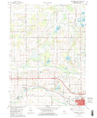
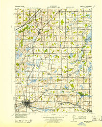 1943 Marshall1943 Print · USGSCentral Michigan during the early 1940s is defined by its busy rail corridors and small school districts. Genealogists can trace family names at locations like Hockinberry Sch, Olivet, and the Starr Commonwealth Sch.
 - 1958 Map of Grand Rapids, 1973 Print
 1958 Grand Rapids1973 Print · USGSSouthern Michigan at the peak of the postwar era shows a landscape of burgeoning cities and new interstate highways. Trace family roots and regional growth in Grand Rapids, Battle Creek, and the glacial lake country around Gun Lake or Gull Lake.2 unique versions available
 - 1961 Map of Grand Rapids
 1961 Grand Rapids1961 Print · USGSSouthern Michigan at the dawn of the 1960s reveals a region shaped by major river systems and a robust rail network. Trace mid-century industrial growth and land use from Grand Rapids to the Fort Custer Military Reservation and Gun Lake.
 - 1962 Map of Grand Rapids
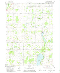
 1962 Grand Rapids1962 Print · USGSMid-century Southern Michigan is mapped here at a time of massive growth, showing the expanding urban footprints of Grand Rapids and Lansing. Researchers can trace the legacy of the Grand Trunk Western RR, find historic boundaries of the Fort Custer Military Reservation, or locate sporting camps around Gun Lake.2 unique versions available
 - 1980 Map of Duck Lake
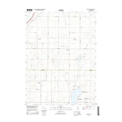
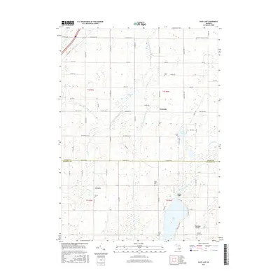
 1980 Duck Lake1980 Print · USGSThe Eaton and Calhoun county borderlands in the 1980s show a landscape of quiet lakeside landings and crossroads hamlets. Genealogists and local historians can trace family locations near Partello, Clarence Center, and numerous local burial grounds like Perry Cem.2 unique versions available
 - 1980 Map of Marshall
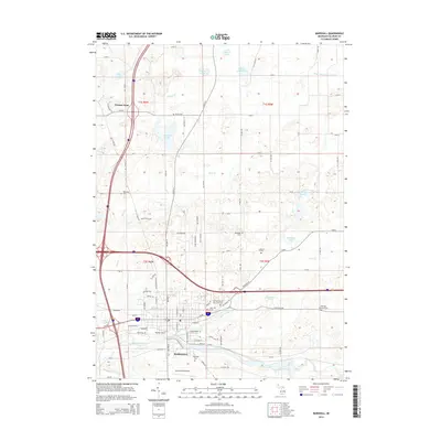
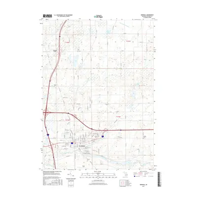
 1980 Marshall1980 Print · USGSMarshall and the surrounding Calhoun County townships are shown here as they appeared in 1980, centered on the historic river-and-rail corridor. Genealogists and local historians can locate numerous rural burial grounds like Oakridge Cemetery and Hotchkiss Cem, alongside landmarks such as the Fairground and Walnut Point.
 - 1980 Map of Olivet
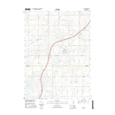
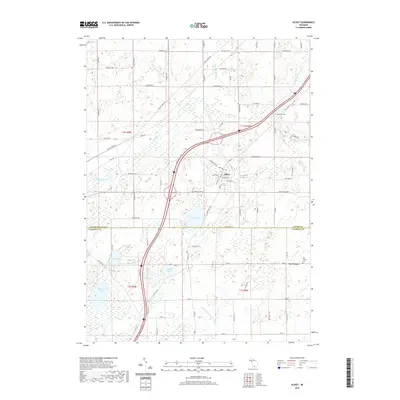
 1980 Olivet1980 Print · USGSOlivet and the Eaton-Calhoun county line are shown in the early 1980s as a landscape of small college-town life and rural industry. Researchers can trace the Grand Trunk Western rail line and locate Bosworth Cem or the Oil Field near Lee Center.
 - 1980 Map of Northwest Albion
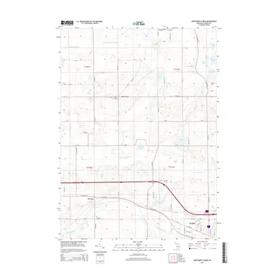
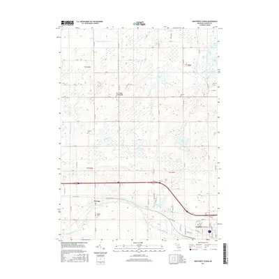
 1980 Northwest Albion1980 Print · USGSCalhoun County in the early eighties shows a transition from the industrial edges of Albion to the quiet township cemeteries and river-fed farms of Marengo. Genealogists can locate family plots at Marengo Village Cem or Krenerick Cem and trace the campus layout of the Starr Commonwealth for Boys.2 unique versions available
 - 1983 Map of Jackson, 1984 Print
 1983 Jackson1984 Print · USGSJackson and the surrounding lake country are shown in the early eighties as a hub of rail transit and outdoor recreation. Local historians can trace institutional footprints like the State Prison Farm or explore the landscape of Minards Mill and Olivet College.
 - 2011 Map of Marshall, 2011 Print
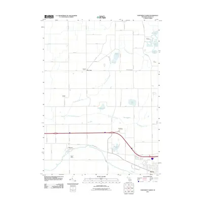
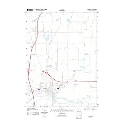 2011 Marshall2011 Print · USGSCovers Lee Township, including Marshall, Convis Township, and other nearby areas
 - 2011 Map of Northwest Albion, 2011 Print
 2011 Northwest Albion2011 Print · USGSCovers Lee Township, including Albion, Marengo, and other nearby areas
 - 2011 Map of Olivet, 2011 Print
 2011 Olivet2011 Print · USGSCovers Lee Township, including Olivet, Ainger, and other nearby areas
 - 2011 Map of Duck Lake, 2011 Print
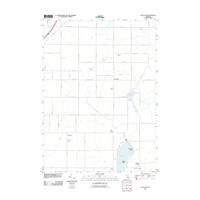 2011 Duck Lake2011 Print · USGSCovers Lee Township, including Brookfield, Clarence Township, and other nearby areas
 - 2014 Map of Olivet, 2014 Print
 2014 Olivet2014 Print · USGSCovers Lee Township, including Olivet, Ainger, and other nearby areas
 - 2014 Map of Duck Lake, 2014 Print
 2014 Duck Lake2014 Print · USGSCovers Lee Township, including Brookfield, Clarence Township, and other nearby areas
 - 2014 Map of Northwest Albion, 2014 Print
 2014 Northwest Albion2014 Print · USGSCovers Lee Township, including Albion, Marengo, and other nearby areas
 - 2014 Map of Marshall, 2014 Print
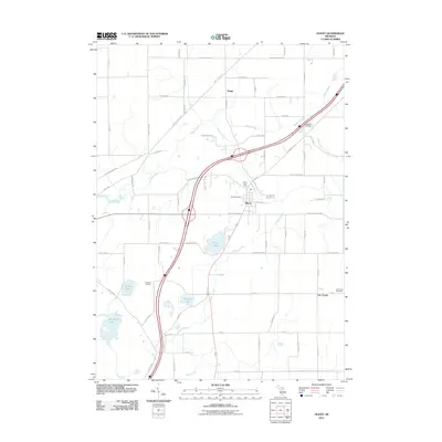
 2014 Marshall2014 Print · USGSCovers Lee Township, including Marshall, Convis Township, and other nearby areas
 - 2017 Map of Olivet, 2017 Print
 2017 Olivet2017 Print · USGSCovers Lee Township, including Olivet, Ainger, and other nearby areas
 - 2017 Map of Duck Lake, 2017 Print
 2017 Duck Lake2017 Print · USGSCovers Lee Township, including Brookfield, Clarence Township, and other nearby areas
 - 2017 Map of Marshall, 2017 Print
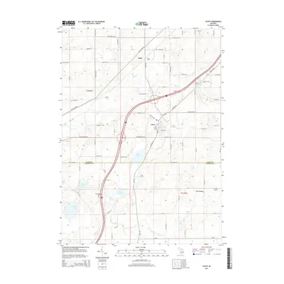
 2017 Marshall2017 Print · USGSCovers Lee Township, including Marshall, Convis Township, and other nearby areas
 - 2017 Map of Northwest Albion, 2017 Print
 2017 Northwest Albion2017 Print · USGSCovers Lee Township, including Albion, Marengo, and other nearby areas
 - 2019 Map of Olivet, 2019 Print
 2019 Olivet2019 Print · USGSCovers Lee Township, including Olivet, Ainger, and other nearby areas
 - 2019 Map of Duck Lake, 2019 Print
 2019 Duck Lake2019 Print · USGSCovers Lee Township, including Brookfield, Clarence Township, and other nearby areas
Showing maps 1-25 of 31
Top cities near Lee Township
- Albion historical maps
- Charlotte historical maps
- Marshall historical maps
- Eaton Rapids historical maps
- Marengo historical maps
- Kalamo historical maps
See more
Top neighborhoods of Lee Township
Frequently asked questions
- What are the different types of historical maps available for Lee Township?
- What is the oldest map of Lee Township?
- Where can I purchase historical maps of Lee Township for my home or office?
- Where can I download high-res historical maps of Lee Township?
- Are there historical topographic maps available for Lee Township?
- Is there historical aerial imagery available for Lee Township?
- Where are historical maps of Lee Township sourced from?