Old Maps of Charlevoix County, Michigan for Hiking & Exploration
Hike through history with 194 historic maps of Charlevoix County. Explore old trails, ghost towns, and forgotten backroads — perfect for outdoor adventurers and local explorers.
- Rediscover forgotten places: Map out old mining camps, roads, and footpaths that no longer exist on modern maps.
- Layer with modern tools: Combine with LiDAR or satellite views to plan hikes through historical terrain.
- Made for exploration: Popular among hikers, overlanders, and local history lovers.
Use these maps to find adventure and explore the hidden past of Charlevoix County.
Charlevoix County, MI maps
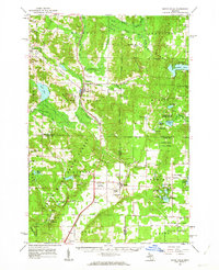
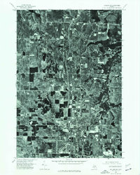
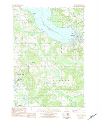
(194)- 1954 Map of Gaylord
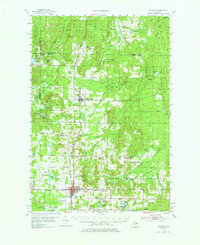 1954 Gaylord1954 Print · USGSOtsego County's transition into a modern recreational and transit hub is evident in the mid-fifties, centered on the growing community of Gaylord. Genealogists and historians can locate several legacy sites, from Vanderbilt Cem to numerous rural schools like McCoy Sch.3 unique versions available
 - 1954 Map of Central Lake, 1955 Print
 1954 Central Lake1955 Print · USGSNorthern Antrim County in the mid-fifties is defined by the winding shores of Torch Lake and the inland Chain of Lakes. Local historians can trace the foundations of Central Lake and rural landmarks like the Greenwood Grange Sch or Antrim Cem.2 unique versions available
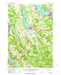
 - 1954 Map of Charlevoix, 1955 Print
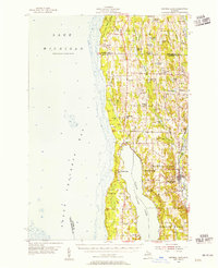
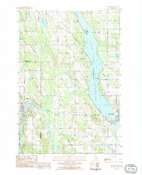
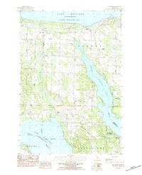
 1954 Charlevoix1955 Print · USGSThe Lake Michigan shoreline at Charlevoix is captured here in the mid-fifties, showing the vital connection between Round L and the open lake. Genealogists and historians can trace the Chesapeake and Ohio rail line, Brookside Cem, and the old settlement of Barnard.3 unique versions available
 - 1955 Map of Hog Island, 1958 Print
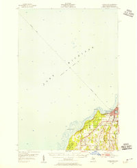
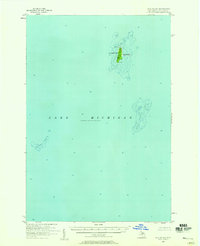
 1955 Hog Island1958 Print · USGSThe Beaver Island archipelago in the mid-1950s reveals a wilderness of state forests and hazardous reefs. Maritime researchers can trace the shorelines of Hog Island and Garden Island or locate remote outcrops like Hat Island and Shoe Island.2 unique versions available
 - 1955 Map of Gull Island, 1959 Print
 1955 Gull Island1959 Print · USGSGull Island and its surrounding waters are captured in detail during the mid-1950s. Maritime researchers can trace underwater topography and navigational aids such as the Light and the dangerous shoals of Gull Island Reef and Boulder Reef.2 unique versions available
 - 1955 Map of Cheboygan, 1964 Print
 1955 Cheboygan1964 Print · USGSNorthern Michigan in the mid-fifties is a landscape of dense timber and deep water, showing the region just as the road network began to modernize. Trace family roots in lakeside towns like St Ignace and Petoskey, or follow the historic tracks of the Pennsylvania RR and New York Central RR.5 unique versions available
 - 1956 Map of Beaver Island, 1959 Print
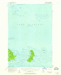
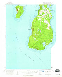 1956 Beaver Island1959 Print · USGSBeaver Island and High Island appear here in the mid-1950s, showing the isolated fishing and timber communities of Lake Michigan. Genealogists can trace the rural landscape of St James and locate the Holy Cross Ch and Roseville Sch (Abandoned).2 unique versions available
 - 1957 Map of Wolverine, 1958 Print
 1957 Wolverine1958 Print · USGSNorthern Michigan's lake country is captured here during the late fifties, showing the rail-and-river geography of the Cheboygan area. Genealogists and historians can trace old community centers like Indian River, the Ohioville Sch, and the Wolverine Lookout Tower.3 unique versions available
 - 1958 Map of Cheboygan
 1958 Cheboygan1958 Print · USGSThe tip of Michigan's Lower Peninsula and the surrounding Great Lakes islands are shown here in the late fifties, during the peak of the rail-and-ferry era. Trace the paths of the Pennsylvania RR and explore lakeside settlements like St James, Petoskey, and Indian River.2 unique versions available
 - 1958 Map of Bayshore, 1959 Print
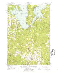
 1958 Bayshore1959 Print · USGSCoastal life in the late fifties centered on the waters of Little Traverse Bay and Lake Charlevoix. Researchers can trace old family sites at Undine Cem, visit the Greensky Ch, or locate the Drive-in Theater and Quarry near Bayshore.2 unique versions available
 - 1958 Map of Petoskey, 1959 Print
 1958 Petoskey1959 Print · USGSCoastal Emmet County in the late fifties is captured here through its growing resort towns and inland forest tracts. Researchers can trace the legacy of local families through landmarks like Patons Corner, Morford Sch, and Curtis Cem.4 unique versions available
 - 1961 Map of Boyne Falls, 1963 Print
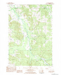
 1961 Boyne Falls1963 Print · USGSNorthern Michigan’s timber and ski country is shown here in the early sixties as the recreational economy began to reshape the landscape. Researchers can trace family roots at St Augustine Cem, locate the old Schoolhouse, or follow the Pennsylvania rail line through Boyne Falls and Elmira.2 unique versions available
 - 1961 Map of Boyne City, 1963 Print
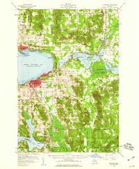
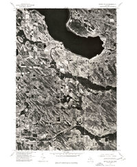
 1961 Boyne City1963 Print · USGSCharlevoix and Antrim Counties are captured here in the early sixties, showing the transition between the glacial lake-country and the surrounding highland townships. Researchers can locate dozens of family-history landmarks like Vance Chapel, Calvary Cem, and the tracks of the Chesapeake and Ohio railroad.2 unique versions available
 - 1975 Map of Boyne City NW, 1976 Print
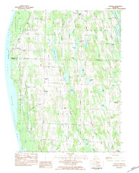
 1975 Boyne City NW1976 Print · USGSNorthern Michigan during the mid-seventies comes into focus through this detailed aerial survey of the Charlevoix region. Trace the development of waterfront communities like East Jordan and Ellsworth along the shores of South Arm Lake Charlevoix.
 - 1975 Map of Petoskey SW, 1976 Print
 1975 Petoskey SW1976 Print · USGSNorthern Michigan's coastline and interior lakes are captured in high detail during the mid-seventies. Trace the 1975 development of Petoskey along Little Traverse Bay and the shoreline of Walloon Lake.
 - 1975 Map of Boyne City NE, 1976 Print
 1975 Boyne City NE1976 Print · USGSNorthern Michigan’s shoreline and timbered interior are captured in the mid-seventies just as these lakeside communities were evolving. Researchers can trace the clear urban boundaries of Boyne City and East Jordan against the waters of Lake Charlevoix.
 - 1975 Map of Gaylord SW, 1976 Print
 1975 Gaylord SW1976 Print · USGSOtsego County's transition from rural timberland to a regional hub is visible in this mid-seventies aerial survey. Genealogists and local historians can trace the precise development of the Gaylord townsite and the surrounding network of forest roads and clearings.
 - 1980 Map of Garden Island West, 1981 Print
 1980 Garden Island West1981 Print · USGSGarden Island and the northern reaches of Beaver Island are captured in the early 1980s, documenting a remote archipelago before modern development. Researchers can find old island settlements like Garden and Graves, or locate heritage sites such as Indian Cem and the Abandoned Lighthouse on Squaw Island.
 - 1982 Map of Petoskey
 1982 Petoskey1982 Print · USGSNorthern Michigan in the early eighties shows a landscape of deep timber and vast inland lakes. Genealogists and historians can trace the rail corridors of the Michigan Central and Detroit and Mackinac between Petoskey, Gaylord, and Wolverine.
 - 1983 Map of Ellsworth, 1984 Print
 1983 Ellsworth1984 Print · USGSNorthern Michigan's lake-and-river network is on full display in the early eighties as Ellsworth and East Jordan thrive. Trace family roots at Lakeside Cem or follow the Chesapeake and Ohio rail line past Sixmile Lake.
 - 1983 Map of Bay Shore, 1984 Print
 1983 Bay Shore1984 Print · USGSThe tip of Michigan's lower peninsula in the early eighties shows a landscape of shoreline settlements and deep inland waters. Researchers can trace local history through sites like St Solanus Ch, the Horton Bay Cem, and the old Drive-In Theater.
 - 1983 Map of Atwood, 1984 Print
 1983 Atwood1984 Print · USGSThe Lake Michigan coast of Antrim County is captured here in the early eighties, showcasing the rural landscapes between Grand Traverse Bay and the inland chain of lakes. Researchers can trace family roots at Antrim Cemetery or locate historic local landmarks like The Wayside Chapel and the Bell Tower Church.2 unique versions available
 - 1983 Map of Chestonia, 1984 Print
 1983 Chestonia1984 Print · USGSAntrim County’s rural interior is documented here in the early 1980s, showcasing a landscape defined by state forest land and the winding Jordan River. Researchers can locate several quiet burial grounds and rural hubs like St Johns Church, Mt Bliss Cemetery, and the hamlet of Finkton.
 - 1983 Map of Epsilon, 1984 Print
 1983 Epsilon1984 Print · USGSNorthern Michigan’s timber and rural farmsteads are documented here in the early eighties as the landscape transitioned between state-managed forests and local settlements. Researchers can locate family landmarks like Elmwood Cem or trace the early paths of Bear Creek and Minnehaha Creek.
 - 1983 Map of Boyne City, 1984 Print
 1983 Boyne City1984 Print · USGSCharlevoix County's inland coast and highland forests are captured in the early eighties as leisure and rural life intersected. Researchers can pinpoint several family burial sites like Knob Cem, local landmarks like the Star Community Bldg, and the early layout of Boyne City.
Showing maps 1-25 of 194
Top cities of Charlevoix County
Frequently asked questions
- What are the different types of historical maps available for Charlevoix County?
- What is the oldest map of Charlevoix County?
- Where can I purchase historical maps of Charlevoix County for my home or office?
- Where can I download high-res historical maps of Charlevoix County?
- Are there historical topographic maps available for Charlevoix County?
- Is there historical aerial imagery available for Charlevoix County?
- Where are historical maps of Charlevoix County sourced from?