2020s Maps of Charlevoix County, Michigan
Explore 30 historic maps of Charlevoix County from the 2020s. These maps offer a rare glimpse into what life looked like during the 2020s — showing old roads, neighborhoods, homes, and landmarks that have changed or disappeared over time.
Whether you're researching your family's past, planning a metal detecting trip, or studying how Charlevoix County's landscape evolved across the 2020s, these high-resolution maps are a powerful tool for exploring the history of this region.
- Focus on a specific era: All maps on this page are from the 2020s, giving you a focused view of this time period.
- See what’s changed: Compare century-old streets, trails, and buildings to today's modern landscape using overlays and satellite layers.
- Research with precision: Use these maps for genealogy, historical research, land use analysis, or educational projects.
- View, download, or print: Maps are fully viewable online in high resolution, and can be downloaded or printed for your own records.
Start exploring Charlevoix County's history through authentic maps from the 2020s. This is your window into the past.
Charlevoix County, MI maps
(30)- 2023 Map of Chestonia, 2023 Print
 2023 Chestonia2023 Print · USGSAntrim County at the start of the 2020s remains a landscape of river valleys and rural homesteads. Trace ancestral connections at Settlement Cem or Trojanek Cem, and follow the winding Jordan River through Chestonia.
 - 2023 Map of Gaylord, 2023 Print
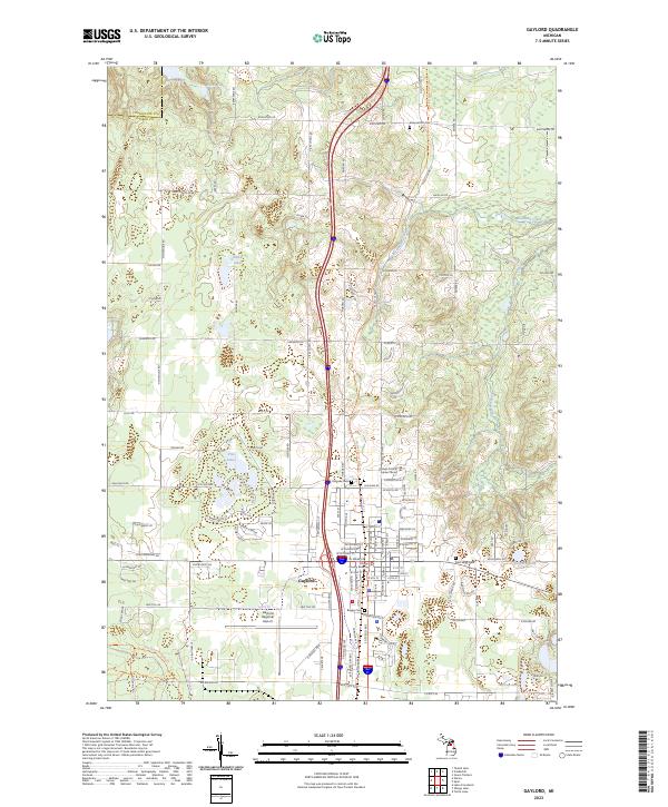 2023 Gaylord2023 Print · USGSGaylord and the surrounding Otsego County countryside are shown in high detail during this recent decade of development and preservation. Researchers can locate several burial grounds like Saint Mary Cem and Bagley Cem or trace the headwaters of the Sturgeon River.
 - 2023 Map of Ironton, 2023 Print
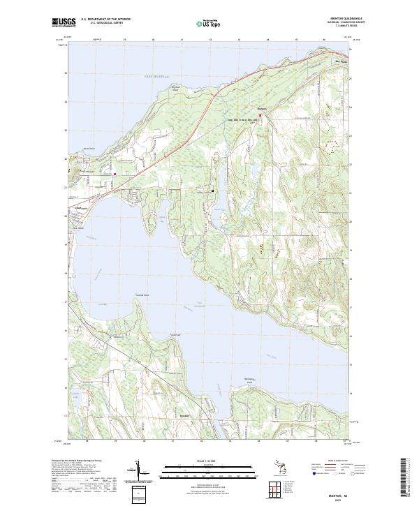 2023 Ironton2023 Print · USGSNorthern Michigan’s coastal landscape is traced in detail here, where the waters of Lake Charlevoix meet the Jordan River. Genealogists and local historians can locate Greensky Indian Cem, the settlement of Ironton, and landmarks like Mount McSauba.
 - 2023 Map of Boyne City, 2023 Print
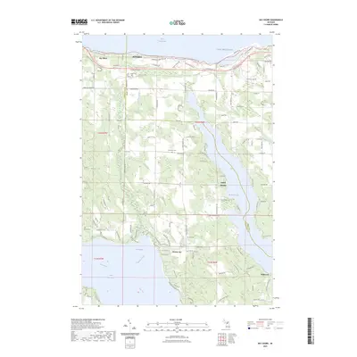
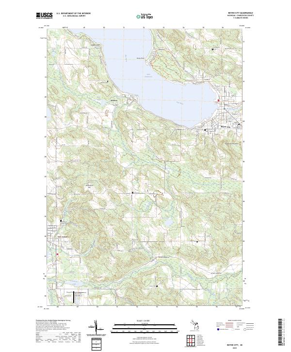 2023 Boyne City2023 Print · USGSThe tip of the south arm of Lake Charlevoix comes into focus during the early twenty-first century, showing the established communities of Boyne City and East Jordan. Genealogists can locate several burial grounds including Maple Lawn Cem, Evangeline Cem, and Saint Joseph Calvary Cem.
 - 2023 Map of Thumb Lake, 2023 Print
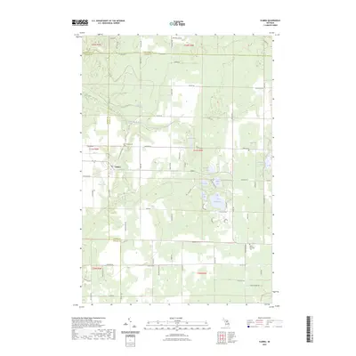
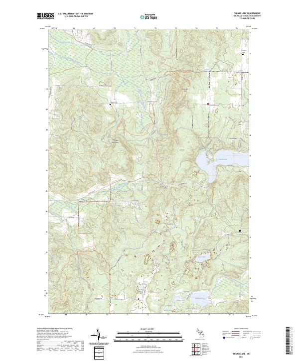 2023 Thumb Lake2023 Print · USGSCharlevoix County’s high ridges and glacial lakes are shown here in recent detail, capturing a landscape of headwater streams and forest trails. Researchers can locate family landmarks like Chandler Cem and Hudson Cem or trace the shores of Thumb Lake and Hoffman Lake.
 - 2023 Map of Scotts Lake, 2023 Print
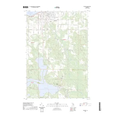
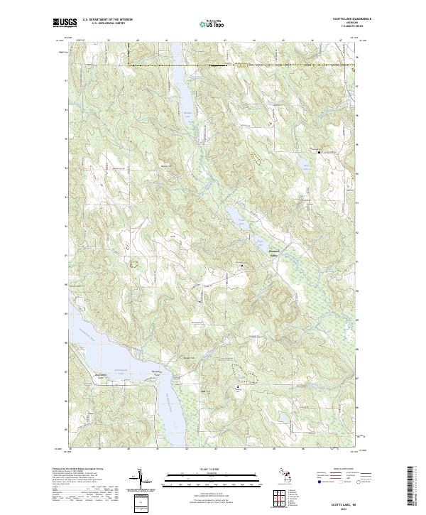 2023 Scotts Lake2023 Print · USGSAntrim County's lake-and-river network is documented here in the early 2020s, showcasing the interconnected waterways of the north. Researchers can trace rural lineages through sites like Dunsmore Cem or explore the settlement at Pleasant Valley.
 - 2023 Map of High Island, 2023 Print
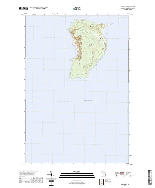 2023 High Island2023 Print · USGSThe remote landscape of the Beaver Archipelago is captured in the early twenty-first century, centered on the topography of High Island. Researchers can trace the interior shoreline of Lake Maria and the sheltered waters of High Island Bay.
 - 2023 Map of Ellsworth, 2023 Print
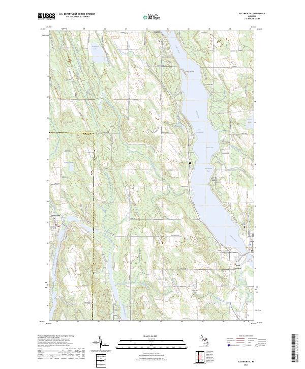 2023 Ellsworth2023 Print · USGSThe Lake Charlevoix region in the early 2020s is a landscape of interconnected waterways and lakeside villages. Genealogists and local historians can trace the foundations of Ellsworth and East Jordan, alongside historic burial sites like Lakeside Cem and Jones Cem.
 - 2023 Map of Vanderbilt, 2023 Print
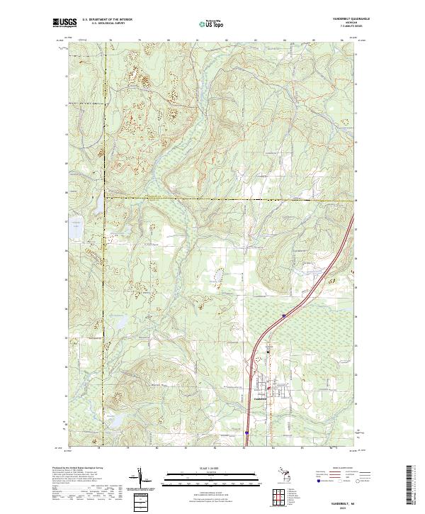 2023 Vanderbilt2023 Print · USGSNorthern Michigan’s high country comes into focus in this contemporary survey of the village of Vanderbilt and its surrounding glacial lakes. Local historians can trace family-named landmarks like the Watson Hills or locate the Vanderbilt Cem near the West Branch Sturgeon River.
 - 2023 Map of Beaver Island North, 2023 Print
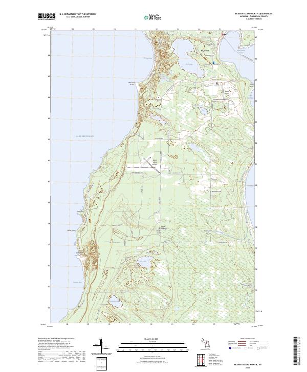 2023 Beaver Island North2023 Print · USGSNorthern Lake Michigan's isolated island community comes into focus in this detailed modern survey of the Beaver Archipelago. Researchers can trace family-named roads and sites from St. James to the Holy Cross Cem and the Beaver Island Ferry terminal.
 - 2023 Map of Beaver Island South, 2023 Print
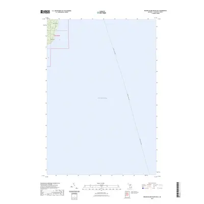
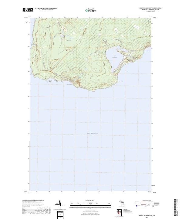 2023 Beaver Island South2023 Print · USGSBeaver Island's southern reaches are shown in detail as they appeared in 2023, featuring a complex network of coastal bays and interior wetlands. Researchers can trace historical island travel via Betsy Smith Trl or locate landmarks like Lake Geneserath and Iron Ore Bay.
 - 2023 Map of Hog Island West, 2023 Print
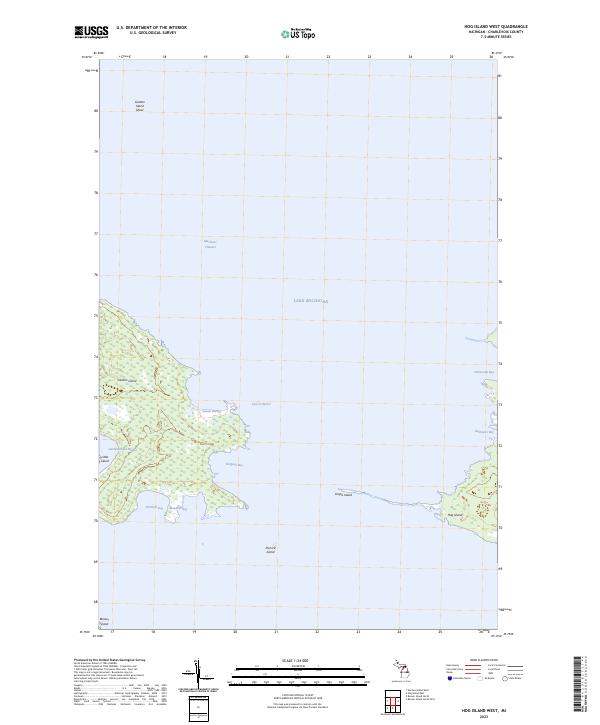 2023 Hog Island West2023 Print · USGSThe Beaver Island archipelago in the early 2020s is revealed through its intricate shorelines and remote islands. Researchers can trace the protected waters of Larsen Harbor and Sturgeon Bay, or locate landmarks like Garden Island and Pismire Island.
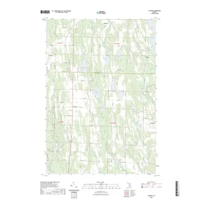
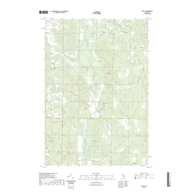
 - 2023 Map of Atwood, 2023 Print
 2023 Atwood2023 Print · USGSThe rural lake country of Antrim and Charlevoix counties is detailed here in this recent survey. Researchers can locate family landmarks along Old Dixie Hwy and trace historical burials at the Atwood Cem, Antrim Cem, or Ellsworth Cem.
 - 2023 Map of Bay Shore, 2023 Print
 2023 Bay Shore2023 Print · USGSCharlevoix and Emmet Counties meet here in the 2020s, spanning the wooded heights between the Great Lakes and two major inland waterways. Genealogists can locate several local burial sites like Indian Cem and Horton Bay Cem near the quiet shores of Walloon Lake.
 - 2023 Map of Deadmans Hill, 2023 Print
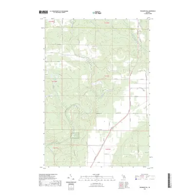 2023 Deadmans Hill2023 Print · USGSAntrim and Charlevoix counties meet in this 2023 survey of the northern Michigan highlands. Local historians can trace the Jordan River valley from Deadmans Hill to the Jordan River National Fish Hatchery, while locating family sites at Brown Cem.
 - 2023 Map of Atwood OE W, 2023 Print
 2023 Atwood OE W2023 Print · USGSThe Lake Michigan shoreline of Antrim and Charlevoix counties is captured here in the early 2020s. Researchers can trace local history at Norwood Cem and follow the route of Old Dixie Hwy as it passes the coastal village of Norwood.
 - 2023 Map of Gull Island, 2023 Print
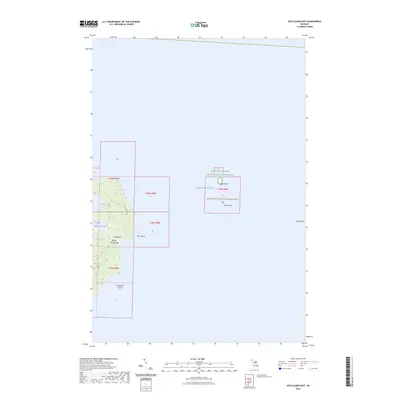
 2023 Gull Island2023 Print · USGSGull Island is shown as a preserved sanctuary in the northern waters of the Beaver Archipelago during this 2023 survey. Researchers can trace the boundaries of the Michigan Islands National Wildlife Refuge and the underwater reach of Gull Island Reef.
 - 2023 Map of Epsilon, 2023 Print
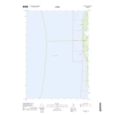
 2023 Epsilon2023 Print · USGSEmmet and Charlevoix counties meet in this modern survey of the Michigan interior, where the settlement of Epsilon remains a focal point. Researchers can trace family sites near Curtis Cemetery or follow the waters of the North Branch Spring Brook and Minnehaha Creek.
 - 2023 Map of Beaver Island North OE E, 2023 Print
 2023 Beaver Island North OE E2023 Print · USGSThe northeastern coast of Beaver Island comes alive in this contemporary survey of the Charlevoix County archipelago. Trace the maritime lifeline of the Beaver Island Ferry and locate coastal landmarks from St. James to the shores of Sand Bay.
 - 2023 Map of Wildwood, 2023 Print
 2023 Wildwood2023 Print · USGSNorthern Michigan at the junction of three counties reveals a landscape of deep forests and recreational trails. You can trace early local history through the Indian River Catholic Shrine Cemetery, the Woods Homestead, and the settlement of Rondo.
 - 2023 Map of Hog Island East, 2023 Print
 2023 Hog Island East2023 Print · USGSThe Beaver Archipelago is documented here in the modern era, showing the protected habitats of the northern Lake Michigan waters. Researchers can trace the boundaries of the Michigan Islands Wilderness and locate landforms like Hog Island and Grays Reef.
 - 2023 Map of Elmira, 2023 Print
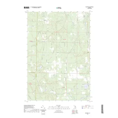
 2023 Elmira2023 Print · USGSOtsego County's high country is captured here during the early twenty-first century, centered on the settlement of Elmira. Genealogists and local historians can locate several burial grounds including Saint Thomas Cem and Hayes Township Cem among the region's many glacial lakes.
 - 2023 Map of Petoskey, 2023 Print
 2023 Petoskey2023 Print · USGSPetoskey and the shores of Walloon Lake are captured here in the early 2020s, showing a landscape shaped by water and woodland. Researchers can trace local history through sites like Indian Garden, Dunkard Cem, and the village of Clarion.
 - 2023 Map of Beaver Island South OE E, 2023 Print
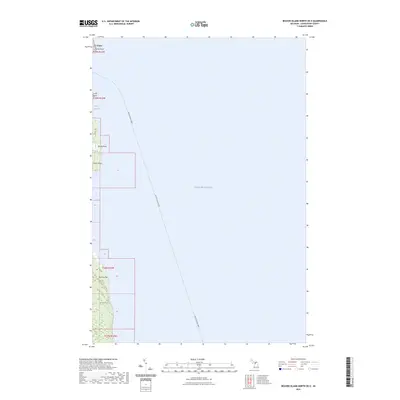
 2023 Beaver Island South OE E2023 Print · USGSCharlevoix County’s coastal island reaches and the open waters of the lake are shown here in the early twenty-first century. Maritime researchers can trace the path of the Beaver Island Ferry as it approaches land at Martin Point and Kilty Point.
 - 2023 Map of Trout Island, 2023 Print
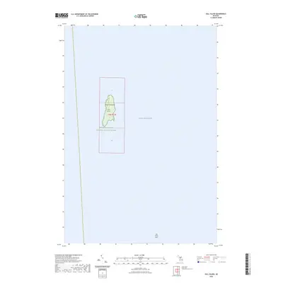
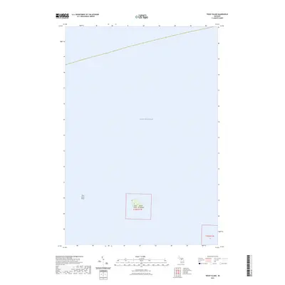 2023 Trout Island2023 Print · USGSLake Michigan's remote waters surround the Beaver Archipelago in this modern survey of the state's northern island chains. Researchers can chart the specific terrain of Trout Island and the expansive Trout Island Shoal within the Lake Michigan basin.
Showing maps 1-25 of 30
Top cities of Charlevoix County
Frequently asked questions
- What are the different types of historical maps available for Charlevoix County?
- What is the oldest map of Charlevoix County?
- Where can I purchase historical maps of Charlevoix County for my home or office?
- Where can I download high-res historical maps of Charlevoix County?
- Are there historical topographic maps available for Charlevoix County?
- Is there historical aerial imagery available for Charlevoix County?
- Where are historical maps of Charlevoix County sourced from?