Old Maps of Clinton County, Michigan for Genealogy
Trace your family roots with 107 historic maps of Clinton County. These high-res maps reveal old neighborhoods, homesites, landmarks, and streets — helping you uncover where your ancestors lived and how the area evolved over time.
- Explore historic neighborhoods: Identify where your relatives may have lived in the 1800s or 1900s.
- Compare maps over time: Trace the changes in streets, buildings, and landmarks for multi-generational research.
- Perfect for genealogy & ancestry research: Used by family historians and researchers to map out lineage and migration.
These maps are an incredible resource for exploring your personal connection to Clinton County's past.
Clinton County, MI maps
(107)- 1918 Map of Elsie
 1918 Elsie1918 Print · USGSCentral Michigan farmland and river valleys are captured here at the end of the Great War. Genealogists can trace family roots through numerous schoolhouses like Elba Center School and early rail stops at Carland, Bannister, and Munson Crossing.3 unique versions available
 - 1918 Map of Perrinton
 1918 Perrinton1918 Print · USGSCentral Michigan's fertile farm country is captured here during the First World War era, showing a landscape tightly organized around rail lines and township schools. Researchers can trace the family-named school districts and small village centers like Perrinton, Eureka, and the commercial hub at Newark Store.2 unique versions available
 - 1927 Map of De Witt
 1927 De Witt1927 Print · USGSClinton County and its neighbors are captured here in the 1920s, showing a landscape of small farming townships and river-fed settlements. Researchers can trace dozens of rural school sites like Bengal Center School and local landmarks like Oak Ridge Cemetery or the Wilsey Church.3 unique versions available
 - 1928 Map of Laingsburg
 1928 Laingsburg1928 Print · USGSCentral Michigan in the late twenties shows a landscape of busy rural school districts and multiple rail lines connecting the tri-county area. Local historians can trace family locations near Octagon Sch, Reed Church, and the tracks of the Michigan Electric Railway.5 unique versions available
 - 1943 Map of Perrinton
 1943 Perrinton1943 Print · USGSGratiot and Clinton counties are captured here in the early 1940s, showing a landscape of fertile river valleys and established rail towns. Local historians can trace family ties through dozens of district schoolhouses like Yond Sch, industry at Stevensons Tile Mill, and the rail corridors of the Ann Arbor line.
 - 1943 Map of Elsie, 1944 Print
 1943 Elsie1944 Print · USGSMid-century central Michigan is captured here during the wartime years, showing the intersection of four counties. Genealogists can locate dozens of country schoolhouses like Kelsey Sch and Munson Sch or trace family roots in settlements such as Elsie, Ashley, and Bannister.
 - 1944 Map of Laingsburg
 1944 Laingsburg1944 Print · USGSMid-Michigan farm country and wetlands are captured here just after the war, centered on the rail hub of Laingsburg. Researchers can trace nineteenth-century school districts like Octagon Sch and find family plots at South Ovid Cem or Stilson Cem.
 - 1945 Map of Portland, 1946 Print
 1945 Portland1946 Print · USGSCentral Michigan river valleys thrive in the 1940s as agricultural and transit hubs. Genealogists can locate dozens of family-named schoolhouses and cemeteries like Eagle Cem, while tracing the Pere Marquette rail line and Wagar Dam.3 unique versions available
 - 1954 Map of Midland, 1967 Print
 1954 Midland1967 Print · USGSMid-Michigan at the peak of the post-war era shows a landscape balancing industrial growth in Midland with the deep timberlands of the Manistee National Forest. Researchers can trace the legacy of the timber and rail era along the Pennsylvania RR or find family roots in river towns like Chesaning and Big Rapids.4 unique versions available
 - 1958 Map of Midland
 1958 Midland1958 Print · USGSCentral Michigan in the late fifties is captured here during a period of transition for its university towns and industrial hubs. Genealogists and researchers can trace family lines through old rail-stop towns like Breckenridge and Chesaning or locate property near the Muskegon River and Prairie Farm.
 - 1958 Map of Grand Rapids, 1973 Print
 1958 Grand Rapids1973 Print · USGSSouthern Michigan at the peak of the postwar era shows a landscape of burgeoning cities and new interstate highways. Trace family roots and regional growth in Grand Rapids, Battle Creek, and the glacial lake country around Gun Lake or Gull Lake.2 unique versions available
 - 1959 Map of Midland
 1959 Midland1959 Print · USGSMid-century Michigan comes alive in this survey of the central Lower Peninsula, from the streets of Grand Rapids to the Houghton Lake timberlands. Genealogists and rail fans can trace the Ann Arbor RR and Chesapeake and Ohio RR through towns like Big Rapids and Mount Pleasant.
 - 1961 Map of Grand Rapids
 1961 Grand Rapids1961 Print · USGSSouthern Michigan at the dawn of the 1960s reveals a region shaped by major river systems and a robust rail network. Trace mid-century industrial growth and land use from Grand Rapids to the Fort Custer Military Reservation and Gun Lake.
 - 1962 Map of Grand Rapids
 1962 Grand Rapids1962 Print · USGSMid-century Southern Michigan is mapped here at a time of massive growth, showing the expanding urban footprints of Grand Rapids and Lansing. Researchers can trace the legacy of the Grand Trunk Western RR, find historic boundaries of the Fort Custer Military Reservation, or locate sporting camps around Gun Lake.2 unique versions available
 - 1965 Map of St. Johns North, 1967 Print
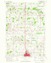 1965 St. Johns North1967 Print · USGSClinton County agriculture and the growing city of St Johns are captured here in the mid-1960s. Researchers can trace rural life through landmarks like Union Home Cem, the Sage Sch, and the Maple River State Game Area.2 unique versions available
 - 1965 Map of St. Johns South, 1967 Print
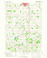 1965 St. Johns South1967 Print · USGSMid-century Clinton County comes alive in this survey of the farmlands south of St. Johns. Genealogists and local historians can trace schoolhouse locations like County Farm Sch and family landmarks near Merle Beach and Bengal Ch.3 unique versions available
 - 1965 Map of Wacousta, 1967 Print
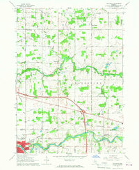 1965 Wacousta1967 Print · USGSMid-Michigan's agricultural and riverfront communities are captured here in the mid-1960s, showing the early growth of Grand Ledge and Wacousta. Researchers can trace old family sites near South Riley Cem, identify rural schoolhouses like Kincaid Sch, and locate regional transport hubs from Pohls Airpark to the Chesapeake and Ohio line.2 unique versions available
 - 1965 Map of Lansing North, 1967 Print
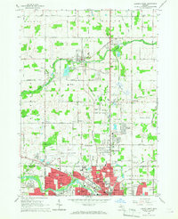 1965 Lansing North1967 Print · USGSThe northern reaches of Lansing and the rural DeWitt area come to life in this mid-sixties survey. Researchers can trace family history at St Joseph Cemetery, locate old schoolhouses like Brown Sch, and follow the New York Central Railroad corridor.3 unique versions available
 - 1965 Map of Riley, 1967 Print
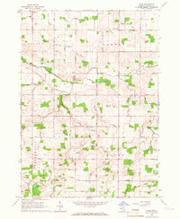 1965 Riley1967 Print · USGSMid-Michigan farm country in the mid-sixties reveals a detailed network of agricultural drains and rural community life near Riley and Bengal Center. Genealogists can trace early landmarks such as Oak Ridge Cem, St Pauls Cem, and Harper Sch.2 unique versions available
 - 1965 Map of Maple Rapids, 1967 Print
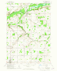 1965 Maple Rapids1967 Print · USGSClinton County's river valley comes into sharp focus during the mid-sixties, showing the agricultural heartland between Maple Rapids and Fowler. Researchers can trace the locations of the Frink Sch, Lowe Ch, and numerous family cemeteries like Beech Cem.2 unique versions available
 - 1966 Map of Midland
 1966 Midland1966 Print · USGSCentral Michigan in the mid-1960s shows a landscape of growing manufacturing hubs and active resource extraction. Genealogists and historians can trace the rail corridors of the Grand Trunk Western or locate family-named landmarks near Oil wells and the Muskegon River.
 - 1967 Map of Hubbardston, 1968 Print
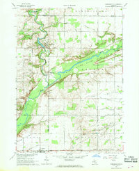 1967 Hubbardston1968 Print · USGSThe borderlands of Ionia and Clinton counties in the late sixties reveal a landscape of river-fed agriculture and expanding state lands. Genealogists and local historians can trace the foundations of Hubbardston and Pewamo or locate rural sites like West Side Cem and the Grand Trunk rail corridor.
 - 1972 Map of Price, 1974 Print
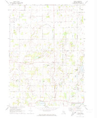 1972 Price1974 Print · USGSClinton County in the early seventies shows a landscape shaped by the Little Maple River and the expanding Sleepy Hollow State Park. Genealogists and local historians can locate several historic burial sites, including South Ovid Cem and Stilson Cem, alongside the small settlement of Price.2 unique versions available
 - 1972 Map of Bath, 1974 Print
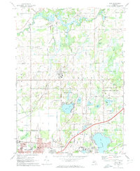 1972 Bath1974 Print · USGSClinton and Ingham counties are shown in the early seventies as residential growth began to meet the traditional marshlands and river valleys. Researchers can trace family sites at Pleasant Hill Cemetery or explore local landmarks like Davis Airport and the Amusement Park at Lake Lansing.2 unique versions available
 - 1972 Map of Laingsburg, 1974 Print
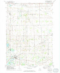 1972 Laingsburg1974 Print · USGSShiawassee County in the early seventies centers on the rail-linked hub of Laingsburg and the rural reaches of Ovid. Trace family history and land use through Oak Grove Cem, the Middlebury Ch, and the many Gravel Pits along the Maple River.
Showing maps 1-25 of 107
Top cities of Clinton County
Frequently asked questions
- What are the different types of historical maps available for Clinton County?
- What is the oldest map of Clinton County?
- Where can I purchase historical maps of Clinton County for my home or office?
- Where can I download high-res historical maps of Clinton County?
- Are there historical topographic maps available for Clinton County?
- Is there historical aerial imagery available for Clinton County?
- Where are historical maps of Clinton County sourced from?