2000s (21st Century) Maps of Westphalia Township, Michigan
Explore 20 historic maps of Westphalia Township from the 2000s (21st Century). These maps offer a rare glimpse into what life looked like during the 2000s — showing old roads, neighborhoods, homes, and landmarks that have changed or disappeared over time.
Whether you're researching your family's past, planning a metal detecting trip, or studying how Westphalia Township's landscape evolved across the 2000s, these high-resolution maps are a powerful tool for exploring the history of this region.
- Focus on a specific era: All maps on this page are from the 2000s, giving you a focused view of this time period.
- See what’s changed: Compare century-old streets, trails, and buildings to today's modern landscape using overlays and satellite layers.
- Research with precision: Use these maps for genealogy, historical research, land use analysis, or educational projects.
- View, download, or print: Maps are fully viewable online in high resolution, and can be downloaded or printed for your own records.
Start exploring Westphalia Township's history through authentic maps from the 2000s. This is your window into the past.
Westphalia Township, MI maps
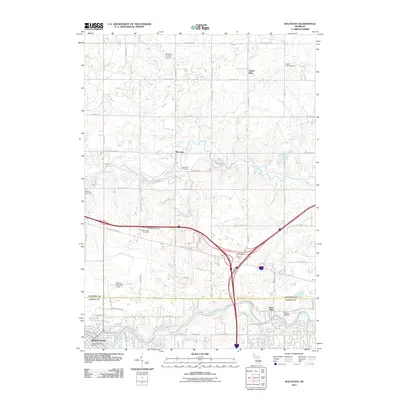
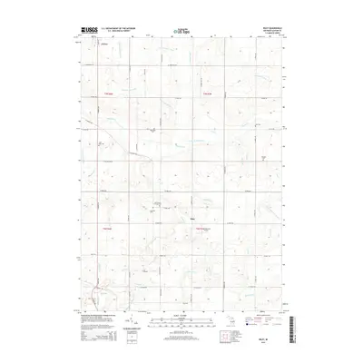
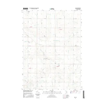
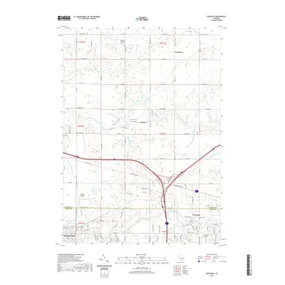
(20)- 2011 Map of Eagle, 2011 Print
 2011 Eagle2011 Print · USGSCovers Westphalia Township, including Grand Ledge, Portland, and other nearby areas
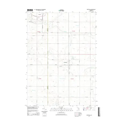
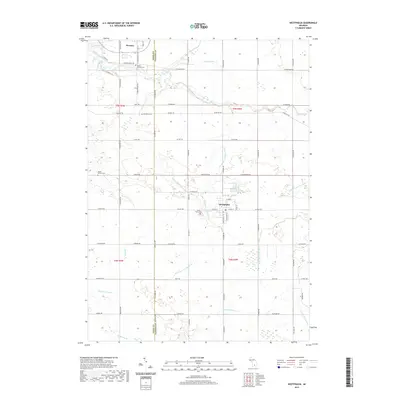
 - 2011 Map of Westphalia, 2011 Print
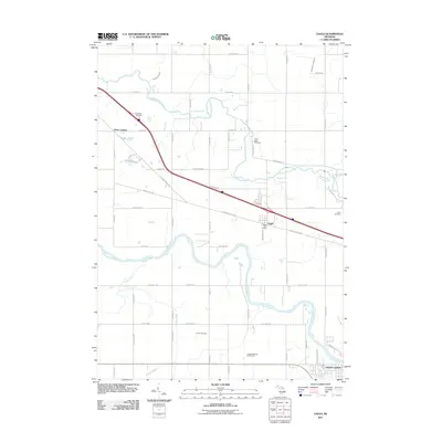
 2011 Westphalia2011 Print · USGSCovers Westphalia Township, including Westphalia, Pewamo, and other nearby areas
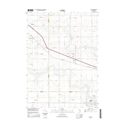
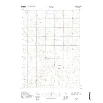
 - 2011 Map of Wacousta, 2011 Print
 2011 Wacousta2011 Print · USGSCovers Westphalia Township, including Grand Ledge, Watertown Charter Township, and other nearby areas
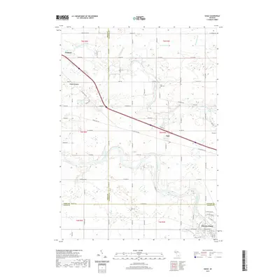
 - 2012 Map of Riley, 2012 Print
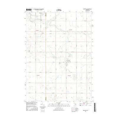
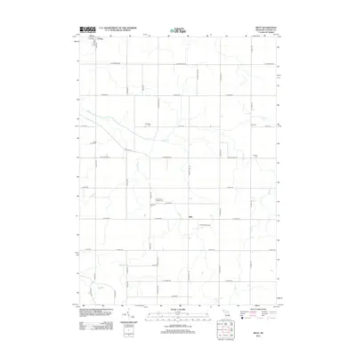 2012 Riley2012 Print · USGSCovers Westphalia Township, including Riley, Fowler, and other nearby areas
 - 2014 Map of Westphalia, 2014 Print
 2014 Westphalia2014 Print · USGSCovers Westphalia Township, including Westphalia, Pewamo, and other nearby areas
 - 2014 Map of Riley, 2014 Print
 2014 Riley2014 Print · USGSCovers Westphalia Township, including Riley, Fowler, and other nearby areas
 - 2014 Map of Eagle, 2014 Print
 2014 Eagle2014 Print · USGSCovers Westphalia Township, including Grand Ledge, Portland, and other nearby areas
 - 2014 Map of Wacousta, 2014 Print
 2014 Wacousta2014 Print · USGSCovers Westphalia Township, including Grand Ledge, Watertown Charter Township, and other nearby areas
 - 2017 Map of Riley, 2017 Print
 2017 Riley2017 Print · USGSCovers Westphalia Township, including Riley, Fowler, and other nearby areas
 - 2017 Map of Eagle, 2017 Print
 2017 Eagle2017 Print · USGSCovers Westphalia Township, including Grand Ledge, Portland, and other nearby areas
 - 2017 Map of Westphalia, 2017 Print
 2017 Westphalia2017 Print · USGSCovers Westphalia Township, including Westphalia, Pewamo, and other nearby areas
 - 2017 Map of Wacousta, 2017 Print
 2017 Wacousta2017 Print · USGSCovers Westphalia Township, including Grand Ledge, Watertown Charter Township, and other nearby areas
 - 2019 Map of Wacousta, 2019 Print
 2019 Wacousta2019 Print · USGSCovers Westphalia Township, including Grand Ledge, Watertown Charter Township, and other nearby areas
 - 2019 Map of Westphalia, 2019 Print
 2019 Westphalia2019 Print · USGSCovers Westphalia Township, including Westphalia, Pewamo, and other nearby areas
 - 2019 Map of Eagle, 2019 Print
 2019 Eagle2019 Print · USGSCovers Westphalia Township, including Grand Ledge, Portland, and other nearby areas
 - 2019 Map of Riley, 2019 Print
 2019 Riley2019 Print · USGSCovers Westphalia Township, including Riley, Fowler, and other nearby areas
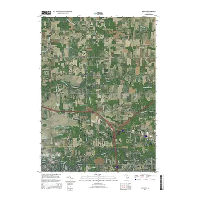
 - 2023 Map of Westphalia, 2023 Print
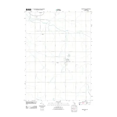
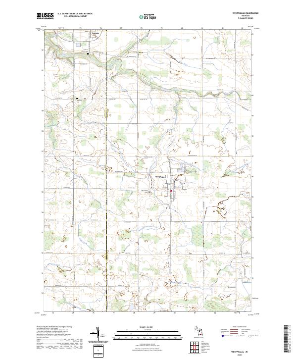 2023 Westphalia2023 Print · USGSMid-Michigan farm country is mapped here in the 2020s, showing the precise layout of rural Clinton and Ionia Counties. Genealogists can locate family burial grounds at Saint Marys Cem and Mount Calvary Cem or trace land through the Ionia Co Clinton Co line.
 - 2023 Map of Riley, 2023 Print
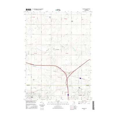
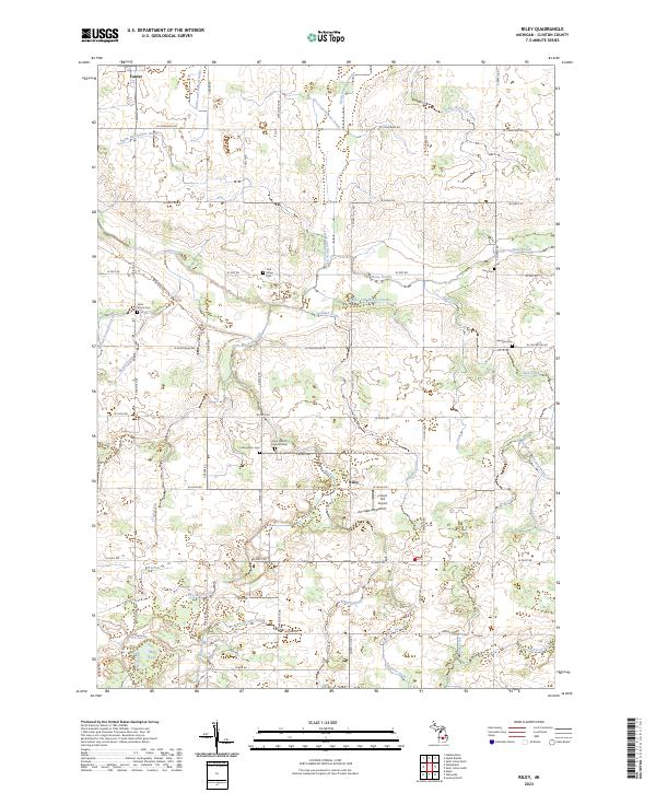 2023 Riley2023 Print · USGSClinton County’s farming heartland comes into focus in this recent survey of the rural landscape between Fowler and Riley. Researchers can trace ancestral plots near numerous burial sites like Oak Ridge Cem, Saint Paul's Cem, and Georgia Cem.
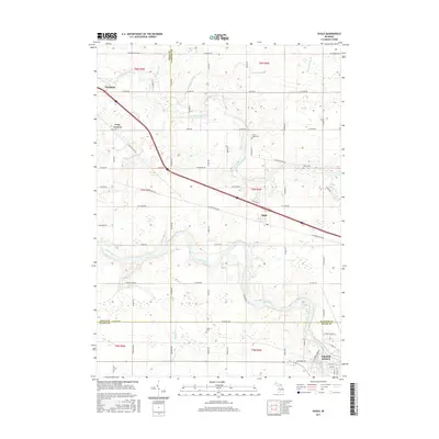
 - 2023 Map of Eagle, 2023 Print
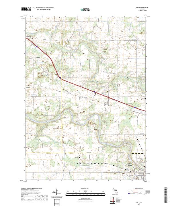 2023 Eagle2023 Print · USGSThe river valleys of Clinton and Ionia counties come into focus in this contemporary survey of the region surrounding Eagle. Genealogists and local historians can trace family locations along W Eaton Hwy and locate several burial grounds like Union Cem and Niles Cem.
 - 2023 Map of Wacousta, 2023 Print
 2023 Wacousta2023 Print · USGSClinton and Eaton counties appear here in their modern context, where the meandering Looking Glass River meets a network of historic crossroads. Local historians can trace family sites from South Riley Cem down to Delta Mills and the city of Grand Ledge.
End of results
Showing maps 1-20 of 20
Top cities near Westphalia Township
- Lansing historical maps
- Grand Ledge historical maps
- St. Johns historical maps
- DeWitt historical maps
- Portland historical maps
- Edgemont Park historical maps
See more
Top neighborhoods of Westphalia Township
Frequently asked questions
- What are the different types of historical maps available for Westphalia Township?
- What is the oldest map of Westphalia Township?
- Where can I purchase historical maps of Westphalia Township for my home or office?
- Where can I download high-res historical maps of Westphalia Township?
- Are there historical topographic maps available for Westphalia Township?
- Is there historical aerial imagery available for Westphalia Township?
- Where are historical maps of Westphalia Township sourced from?