Old Maps of Westphalia Township, Michigan for Metal Detecting
Plan your next treasure hunt with 30 historic maps of Westphalia Township. Find old homesites, ghost towns, trails, and gathering spots that may be lost to time — perfect for identifying promising metal detecting locations.
- Locate forgotten sites: Uncover places like long-lost settlements, abandoned rail lines, or gathering spots.
- Plan better hunts: Use map overlays combined with LiDAR or satellite views to narrow in on historically rich areas.
- Made for detectorists: Thousands of hobbyists use these maps to discover relics, coins, and hidden history.
Use these historic maps to boost your research and find new opportunities beneath the surface of Westphalia Township.
Westphalia Township, MI maps
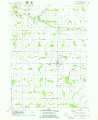
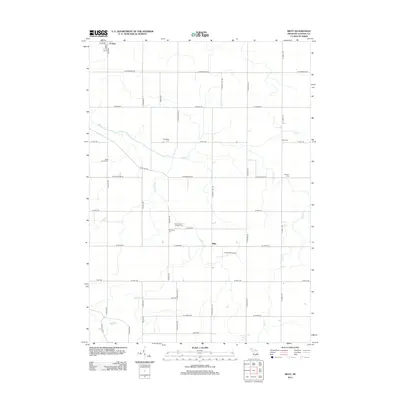
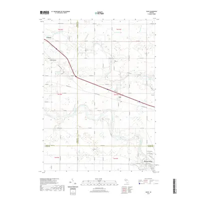
(30)- 1927 Map of De Witt
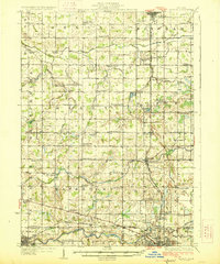 1927 De Witt1927 Print · USGSClinton County and its neighbors are captured here in the 1920s, showing a landscape of small farming townships and river-fed settlements. Researchers can trace dozens of rural school sites like Bengal Center School and local landmarks like Oak Ridge Cemetery or the Wilsey Church.3 unique versions available
 - 1945 Map of Portland, 1946 Print
 1945 Portland1946 Print · USGSCentral Michigan river valleys thrive in the 1940s as agricultural and transit hubs. Genealogists can locate dozens of family-named schoolhouses and cemeteries like Eagle Cem, while tracing the Pere Marquette rail line and Wagar Dam.3 unique versions available
 - 1958 Map of Grand Rapids, 1973 Print
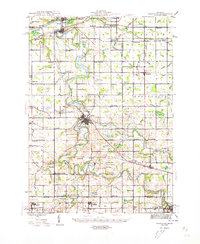
 1958 Grand Rapids1973 Print · USGSSouthern Michigan at the peak of the postwar era shows a landscape of burgeoning cities and new interstate highways. Trace family roots and regional growth in Grand Rapids, Battle Creek, and the glacial lake country around Gun Lake or Gull Lake.2 unique versions available
 - 1961 Map of Grand Rapids
 1961 Grand Rapids1961 Print · USGSSouthern Michigan at the dawn of the 1960s reveals a region shaped by major river systems and a robust rail network. Trace mid-century industrial growth and land use from Grand Rapids to the Fort Custer Military Reservation and Gun Lake.
 - 1962 Map of Grand Rapids
 1962 Grand Rapids1962 Print · USGSMid-century Southern Michigan is mapped here at a time of massive growth, showing the expanding urban footprints of Grand Rapids and Lansing. Researchers can trace the legacy of the Grand Trunk Western RR, find historic boundaries of the Fort Custer Military Reservation, or locate sporting camps around Gun Lake.2 unique versions available
 - 1965 Map of Wacousta, 1967 Print
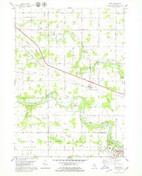
 1965 Wacousta1967 Print · USGSMid-Michigan's agricultural and riverfront communities are captured here in the mid-1960s, showing the early growth of Grand Ledge and Wacousta. Researchers can trace old family sites near South Riley Cem, identify rural schoolhouses like Kincaid Sch, and locate regional transport hubs from Pohls Airpark to the Chesapeake and Ohio line.2 unique versions available
 - 1965 Map of Riley, 1967 Print
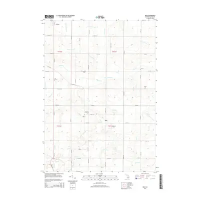
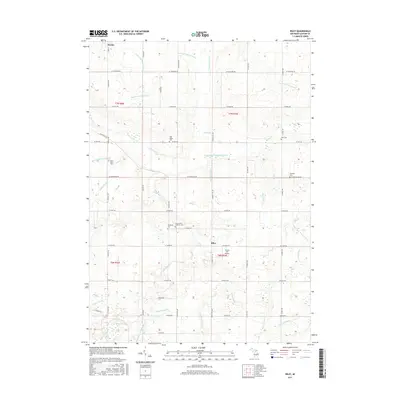
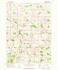 1965 Riley1967 Print · USGSMid-Michigan farm country in the mid-sixties reveals a detailed network of agricultural drains and rural community life near Riley and Bengal Center. Genealogists can trace early landmarks such as Oak Ridge Cem, St Pauls Cem, and Harper Sch.2 unique versions available
 - 1978 Map of Westphalia, 1979 Print
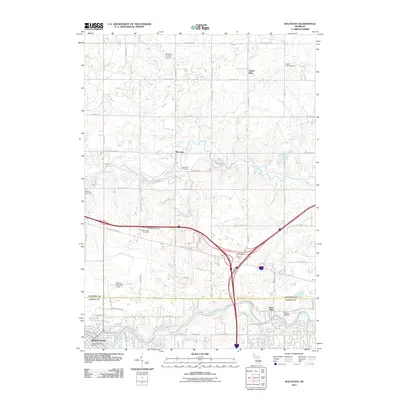
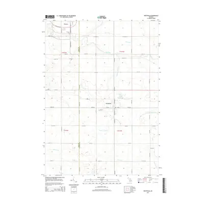
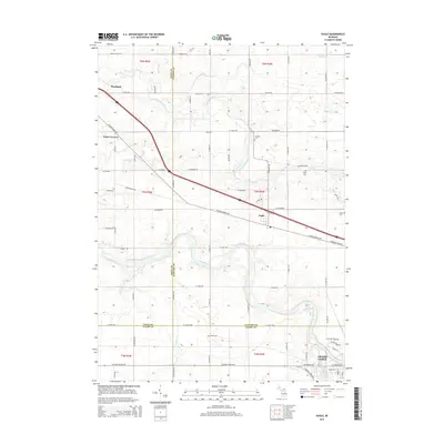
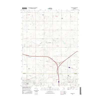
 1978 Westphalia1979 Print · USGSClinton and Ionia counties are shown in the late seventies as a network of farm-to-market roads and tight-knit villages. Researchers can trace family roots through St Marys Cem or locate the old Grand Trunk Western rail line at Pewamo.
 - 1978 Map of Eagle, 1979 Print
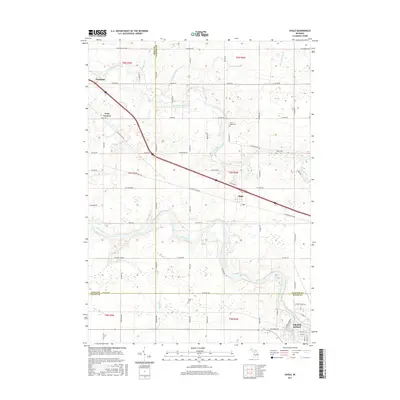
 1978 Eagle1979 Print · USGSClinton County and the outskirts of Grand Ledge are captured in the late seventies, showing a landscape shaped by two major river systems. Genealogists can locate North Eagle Cem and Niles Cem, or trace the rail-side settlement at Eagle.
 - 1983 Map of Lansing, 1984 Print
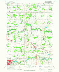
 1983 Lansing1984 Print · USGSThe Lansing area and its surrounding river valleys are captured here in the early eighties. Genealogists and historians can trace the rail corridors of the Conrail or locate local landmarks like St Johns Ch and Greenwood Cem.
 - 2011 Map of Eagle, 2011 Print
 2011 Eagle2011 Print · USGSCovers Westphalia Township, including Grand Ledge, Portland, and other nearby areas
 - 2011 Map of Westphalia, 2011 Print
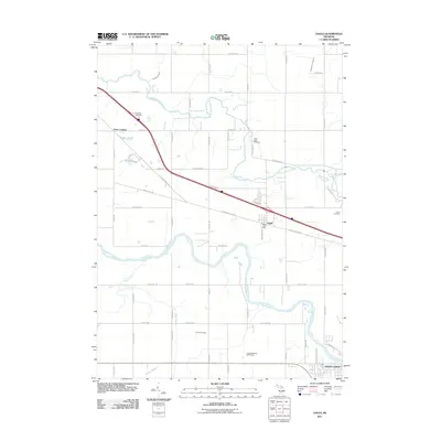
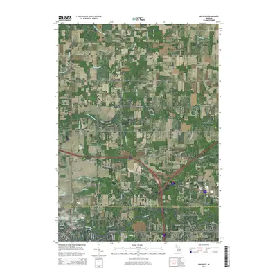
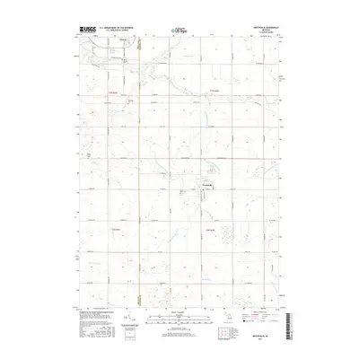
 2011 Westphalia2011 Print · USGSCovers Westphalia Township, including Westphalia, Pewamo, and other nearby areas
 - 2011 Map of Wacousta, 2011 Print
 2011 Wacousta2011 Print · USGSCovers Westphalia Township, including Grand Ledge, Watertown Charter Township, and other nearby areas
 - 2012 Map of Riley, 2012 Print
 2012 Riley2012 Print · USGSCovers Westphalia Township, including Riley, Fowler, and other nearby areas
 - 2014 Map of Westphalia, 2014 Print
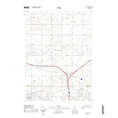
 2014 Westphalia2014 Print · USGSCovers Westphalia Township, including Westphalia, Pewamo, and other nearby areas
 - 2014 Map of Riley, 2014 Print
 2014 Riley2014 Print · USGSCovers Westphalia Township, including Riley, Fowler, and other nearby areas
 - 2014 Map of Eagle, 2014 Print
 2014 Eagle2014 Print · USGSCovers Westphalia Township, including Grand Ledge, Portland, and other nearby areas
 - 2014 Map of Wacousta, 2014 Print
 2014 Wacousta2014 Print · USGSCovers Westphalia Township, including Grand Ledge, Watertown Charter Township, and other nearby areas
 - 2017 Map of Riley, 2017 Print
 2017 Riley2017 Print · USGSCovers Westphalia Township, including Riley, Fowler, and other nearby areas
 - 2017 Map of Eagle, 2017 Print
 2017 Eagle2017 Print · USGSCovers Westphalia Township, including Grand Ledge, Portland, and other nearby areas
 - 2017 Map of Westphalia, 2017 Print
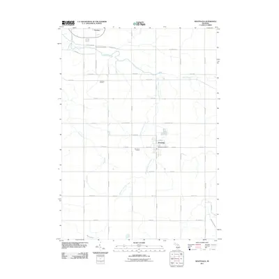
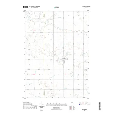
 2017 Westphalia2017 Print · USGSCovers Westphalia Township, including Westphalia, Pewamo, and other nearby areas
 - 2017 Map of Wacousta, 2017 Print
 2017 Wacousta2017 Print · USGSCovers Westphalia Township, including Grand Ledge, Watertown Charter Township, and other nearby areas
 - 2019 Map of Wacousta, 2019 Print
 2019 Wacousta2019 Print · USGSCovers Westphalia Township, including Grand Ledge, Watertown Charter Township, and other nearby areas
 - 2019 Map of Westphalia, 2019 Print
 2019 Westphalia2019 Print · USGSCovers Westphalia Township, including Westphalia, Pewamo, and other nearby areas
 - 2019 Map of Eagle, 2019 Print
 2019 Eagle2019 Print · USGSCovers Westphalia Township, including Grand Ledge, Portland, and other nearby areas
Showing maps 1-25 of 30
Top cities near Westphalia Township
- Lansing historical maps
- Grand Ledge historical maps
- St. Johns historical maps
- DeWitt historical maps
- Portland historical maps
- Edgemont Park historical maps
See more
Top neighborhoods of Westphalia Township
Frequently asked questions
- What are the different types of historical maps available for Westphalia Township?
- What is the oldest map of Westphalia Township?
- Where can I purchase historical maps of Westphalia Township for my home or office?
- Where can I download high-res historical maps of Westphalia Township?
- Are there historical topographic maps available for Westphalia Township?
- Is there historical aerial imagery available for Westphalia Township?
- Where are historical maps of Westphalia Township sourced from?