Old Maps of Bark River Township, Michigan for Metal Detecting
Plan your next treasure hunt with 39 historic maps of Bark River Township. Find old homesites, ghost towns, trails, and gathering spots that may be lost to time — perfect for identifying promising metal detecting locations.
- Locate forgotten sites: Uncover places like long-lost settlements, abandoned rail lines, or gathering spots.
- Plan better hunts: Use map overlays combined with LiDAR or satellite views to narrow in on historically rich areas.
- Made for detectorists: Thousands of hobbyists use these maps to discover relics, coins, and hidden history.
Use these historic maps to boost your research and find new opportunities beneath the surface of Bark River Township.
Bark River Township, MI maps
(39)- 1932 Map of Bark River NE
 1932 Bark River NE1932 Print · USGSUpper Peninsula life in the early 1930s centered on the rail-and-highway corridor through Harris and Bark River. Local historians can trace the early townships of Gourley and Harris, locating rural landmarks like Sunnyside Sch and Riverside Sch.2 unique versions available
 - 1932 Map of Whitney SE
 1932 Whitney SE1932 Print · USGSLower Peninsula timber country comes to life in this early 1930s survey of the Menominee and Delta county line. Genealogists can trace family roots at Schaffer Cem or locate the old Tenmile Sch and Eustis Sta along the historic rail lines.
 - 1954 Map of Escanaba, 1967 Print
 1954 Escanaba1967 Print · USGSThe Upper Peninsula and Door County shorelines meet here in the mid-fifties, showing the vital maritime and timber networks of the Great Lakes. Researchers can trace historic rail lines, old fire lookouts like the Stonington Fire Tower, and island settlements such as Washington Island.2 unique versions available
 - 1957 Map of Escanaba
 1957 Escanaba1957 Print · USGSThe Upper Peninsula and Door County shorelines meet in the mid-fifties, capturing a landscape of timber, iron, and maritime trade. Genealogists and local historians can trace the Chicago & North Western RR through settlements like Hermansville or locate St Vitals Church and the Potawatome Indian Reservation.
 - 1958 Map of Escanaba
 1958 Escanaba1958 Print · USGSNorthern Lake Michigan maritime commerce and timberlands are captured here in the mid-fifties. Genealogists and historians can trace rail networks like the Escanaba and Lake Superior or locate island settlements such as Detroit Harbor and Fish Creek.
 - 1958 Map of Escanaba, 1959 Print
 1958 Escanaba1959 Print · USGSUpper Peninsula maritime life and rail industry converge at the mouth of the Ford River during the late 1950s. Researchers can trace the waterfront legacy of Escanaba via the Sand Point Light, or locate inland family sites like Narenta and Holy Cross Cemetery.2 unique versions available
 - 1963 Map of Bark River, 1964 Print
 1963 Bark River1964 Print · USGSUpper Peninsula timber and rail communities thrive in the early sixties as the railroad connects the lakeside to the interior. Genealogists can trace family footprints at Hannahville, Indiantown, and the Bark River Cem near Harris.
 - 1963 Map of Schaffer, 1965 Print
 1963 Schaffer1965 Print · USGSUpper Peninsula timber and rail corridors define the landscape in the early sixties, showing the vital connections between the forests and regional industry. Researchers can trace the legacy of small settlements like Perronville and Schaffer or locate the Cornell Ch and Schaffer Cem along the Ford River.2 unique versions available
 - 1982 Map of Escanaba
 1982 Escanaba1982 Print · USGSUpper Peninsula timber and mining country come to life in this early 1980s survey of the lakefront and forest interior. Trace family roots and industrial history through settlements like Norway and Gladstone, or locate the Appleton Mine and Fernwood Cem near the rail lines.
 - 1985 Map of Henderson Lakes
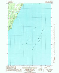 1985 Henderson Lakes1985 Print · USGSCoastal Delta County in the mid-1980s shows a quiet stretch of Upper Peninsula shoreline where the forest meets the bay. Researchers can locate the South Ford River Cem and trace the paths of the Ford River and Bark River as they enter Lake Michigan.
 - 1985 Map of Ford River
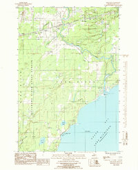 1985 Ford River1985 Print · USGSCoastal Delta County in the mid-1980s shows a landscape of state forest land and rail-side settlements. Genealogists can trace family roots at the West Ford River Cem and locate community sites like Pine Ridge Sch and Narenta.
 - 1989 Map of Bark River
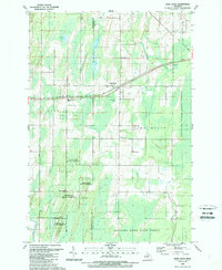 1989 Bark River1989 Print · USGSThe Menominee and Delta County borderlands come into focus during the late eighties, centered on the Hannahville Indian Community. Genealogists and local historians can trace family-named areas like Houle or locate the Hannahville Cem and Bark River Ch.
 - 1989 Map of Seagull Point
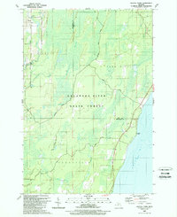 1989 Seagull Point1989 Print · USGSThe Menominee County shoreline and dense marshes of the Upper Peninsula are captured here in the late eighties. Researchers can trace rural landmarks like Advent Sch and old crossings such as Jam Dam Bridge or McCarty Bridge.
 - 1989 Map of Schaffer
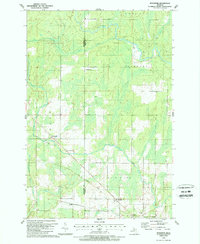 1989 Schaffer1989 Print · USGSThe Upper Peninsula borderlands near the Menominee and Delta County line are shown here in the late eighties, featuring a landscape shaped by forest and wetlands. Researchers can trace the Old Railroad Grade near Schaffer or locate family sites at St Michaels Cem and Perronville.
 - 2011 Map of Bark River, 2011 Print
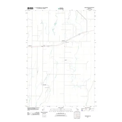 2011 Bark River2011 Print · USGSUpper Peninsula Michigan at the start of the 2010s reveals a landscape of quiet river towns and established tribal settlements. Researchers can trace family history through sites like Hannahville Cemetery, the Bark River Post Office, and the settlement of Indiantown.
 - 2011 Map of Schaffer, 2011 Print
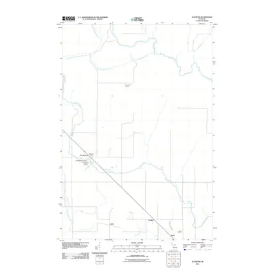 2011 Schaffer2011 Print · USGSThe Upper Peninsula landscape at the start of the 2010s reveals a quiet network of rural settlements and winding river systems. You can trace family roots at Saint Michael's Catholic Cemetery or locate old community hubs like Perronville and Schaffer along the Ford River.
 - 2011 Map of Seagull Point, 2011 Print
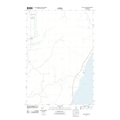 2011 Seagull Point2011 Print · USGSThe Michigan shoreline at Seagull Point and the lower Bark River are captured here as they appeared in the early 2010s. Researchers can locate the Seventh Day Adventist Cemetery and trace the paths of Advent Creek and Deer Creek through this coastal landscape.
 - 2011 Map of Henderson Lakes, 2011 Print
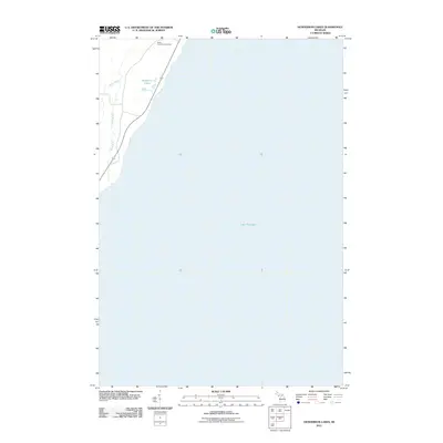 2011 Henderson Lakes2011 Print · USGSCoastal Delta County meets the Bay de Noc during the early twenty-first century, showing the intersection of Michigan’s Upper Peninsula highways and waterways. Genealogists and local historians can locate the South Ford River Cemetery and trace the paths of the Bark River and Henderson Lakes.
 - 2011 Map of Ford River, 2011 Print
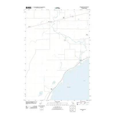 2011 Ford River2011 Print · USGSCoastal Delta County is documented here in the early twenty-first century as the Ford River meets the bay. Genealogists and local historians can trace the rural communities of Narenta and Hyde or locate the West Ford River Cemetery.
 - 2014 Map of Bark River, 2014 Print
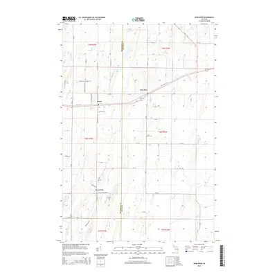 2014 Bark River2014 Print · USGSThe Menominee and Delta County borderlands are shown in detail during the early twenty-first century, centered on the communities of Harris and Bark River. Researchers can trace the legacy of local families through the Bark River Cemetery or follow the historic routes of Old US-2/41 and Old Highway 2/41.
 - 2014 Map of Seagull Point, 2014 Print
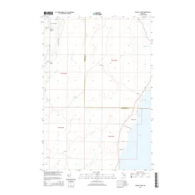 2014 Seagull Point2014 Print · USGSCoastal Delta and Menominee counties are shown here in the early 21st century as the landscape meets the Green Bay shoreline. Researchers can locate the Seventh Day Adventist Church Cem and trace waterways like Degraves Cr to landmarks such as McCarty Bridge.
 - 2014 Map of Schaffer, 2014 Print
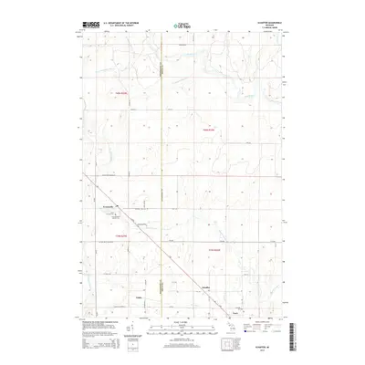 2014 Schaffer2014 Print · USGSUpper Peninsula settlement and hydrology are on display here in the early twenty-first century. Researchers can trace the diagonal corridor linking Perronville and Schaffer, or locate family sites at Saint Michael's Catholic Cem.
 - 2014 Map of Henderson Lakes, 2014 Print
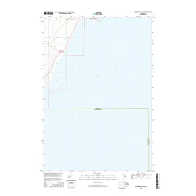 2014 Henderson Lakes2014 Print · USGSThe Michigan Upper Peninsula shoreline comes into focus in this 2014 survey of the Delta and Menominee county line. Genealogists can locate family sites at the S Ford River Cem or trace the winding path of the Bark River toward Lake Michigan.
 - 2014 Map of Ford River, 2014 Print
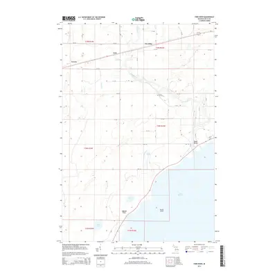 2014 Ford River2014 Print · USGSCoastal Delta County settlements and the winding Ford River are captured here in the early twenty-first century. Researchers can locate family landmarks at the W Ford River Cem or trace the development of Hyde, Narenta, and Pine Ridge.
 - 2017 Map of Henderson Lakes, 2017 Print
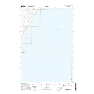 2017 Henderson Lakes2017 Print · USGSThe Lake Michigan shoreline of Delta County is documented in the mid-2010s, capturing the rural interface where the Upper Peninsula meets Green Bay. Local researchers can locate South Ford River Cems and trace the paths of Bark River and Co Rd 535 through the coastal wetlands.
Showing maps 1-25 of 39
Top cities near Bark River Township
- Escanaba historical maps
- Gladstone historical maps
- Wells historical maps
- Ford River historical maps
- Harris historical maps
- Bark River historical maps
See more
Top neighborhoods of Bark River Township
Frequently asked questions
- What are the different types of historical maps available for Bark River Township?
- What is the oldest map of Bark River Township?
- Where can I purchase historical maps of Bark River Township for my home or office?
- Where can I download high-res historical maps of Bark River Township?
- Are there historical topographic maps available for Bark River Township?
- Is there historical aerial imagery available for Bark River Township?
- Where are historical maps of Bark River Township sourced from?